Elevation of Jefferson County, TX, USA
Location: United States > Texas >
Longitude: -94.151376
Latitude: 29.8165398
Elevation: 2m / 7feet
Barometric Pressure: 101KPa
Elevation Map:
Satellite Map:
Related Photos:

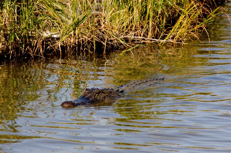
Lost Labelle Rd Swing Bridge over Taylor Bayou 1411091132
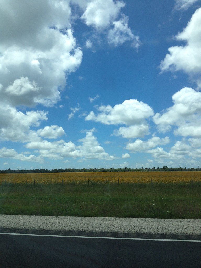
pretty yellow fields

Clouds over the Gulf of Mexico...

#run
jbb-TPNWP-147

#run
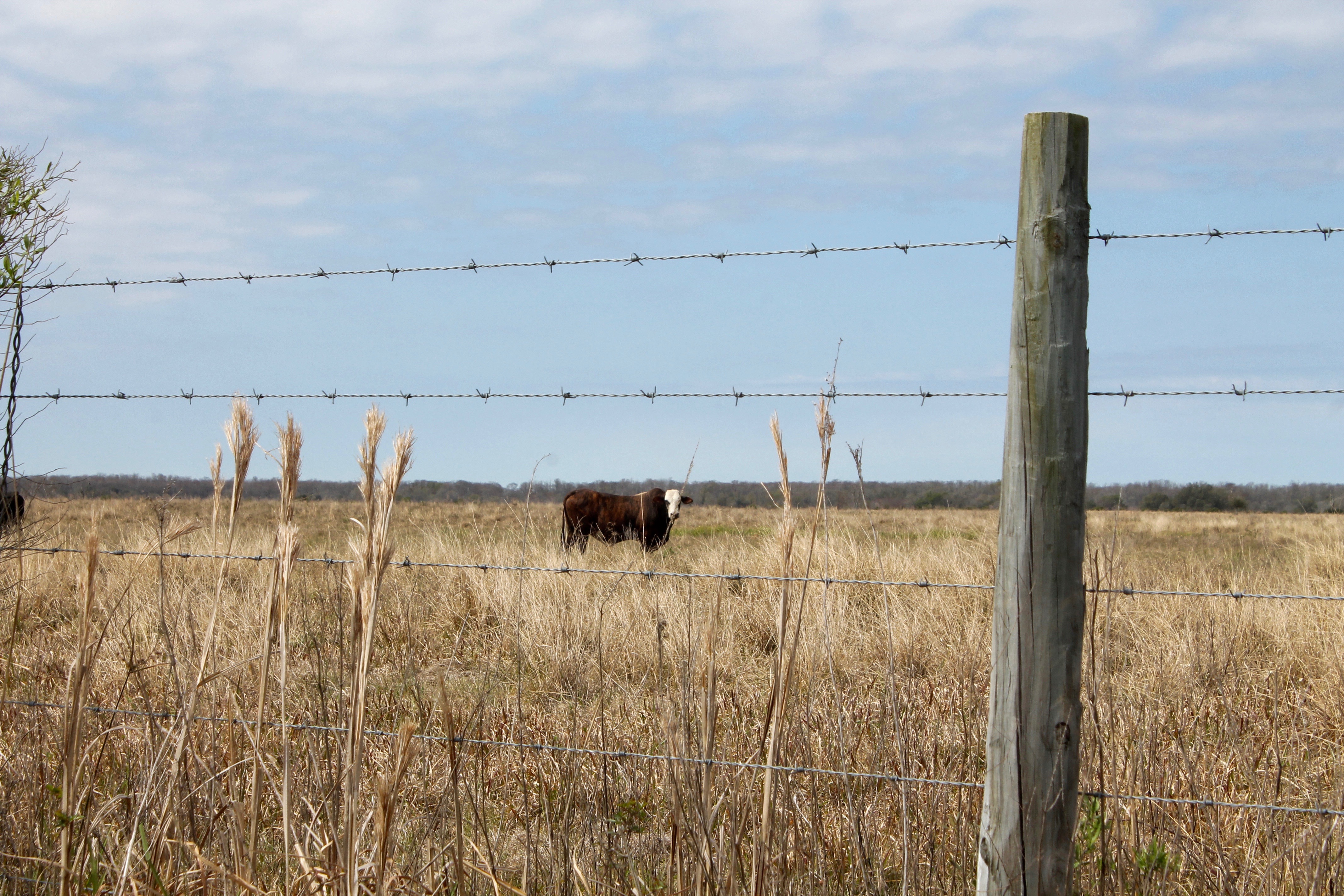
Texas Cattle

Labelle Rd Bridge over Taylor Bayou 1411091141
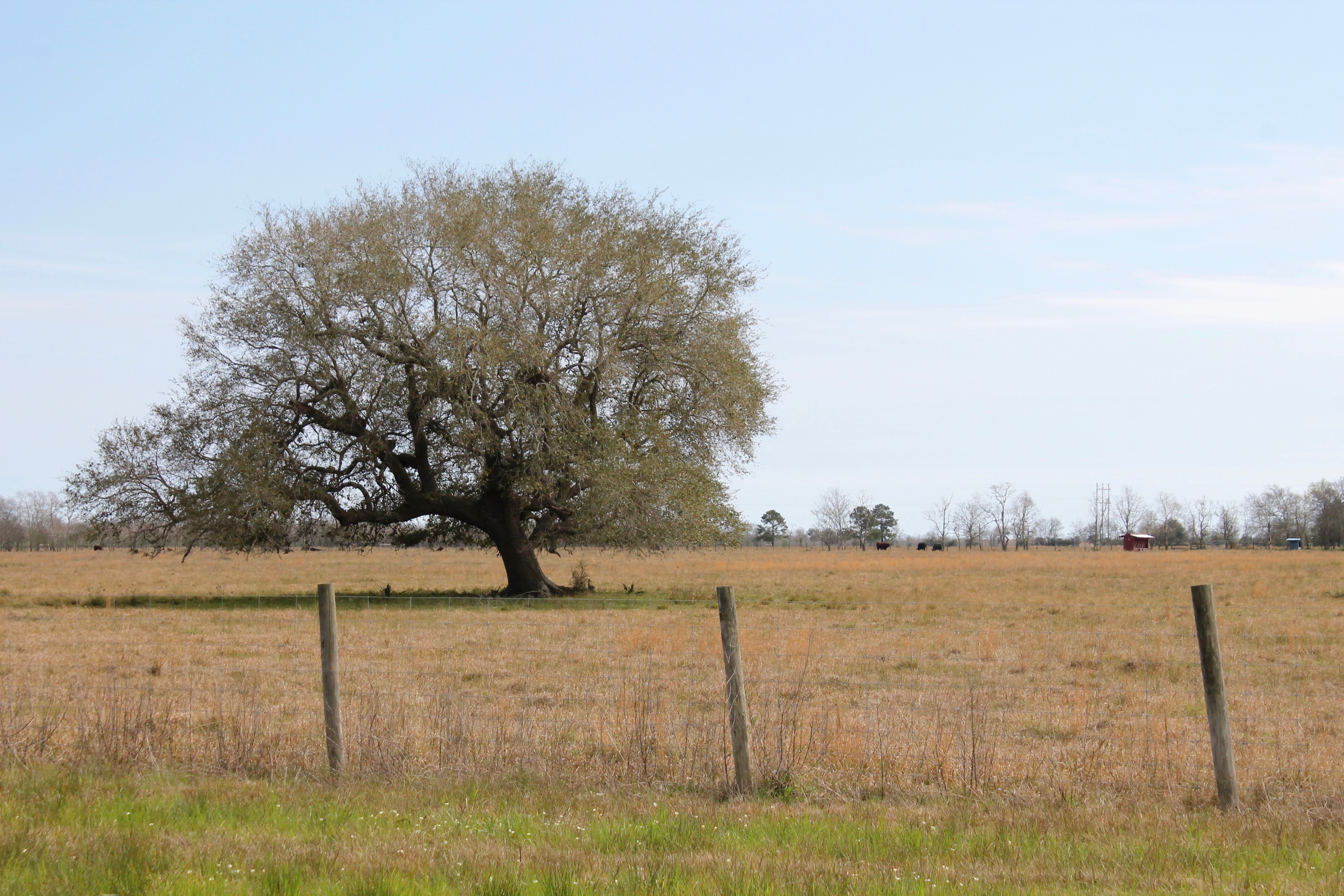
Lone Tree

Riviera Maya 2015
Topographic Map of Jefferson County, TX, USA
Find elevation by address:

Places in Jefferson County, TX, USA:
Beaumont
Port Arthur
Nederland
Port Neches
Groves
Hamshire
Central Gardens
Taylor Landing
Nome
San Jacinto St, Hamshire, TX, USA
La Belle
Bevil Oaks
Coke Dock Road
Places near Jefferson County, TX, USA:
Taylor Landing
108 Country Club Drive
100 Greenwood Dr
118 Country Club Dr
La Belle
Labelle Rd, Beaumont, TX, USA
14914 Labelle Rd
16789 Tx-73
7221 Wilford Rd
12447 H O Mills Hwy
3000 Lebonnet Dr
11730 Ridgecrest
Ridgecrest
7840 Blue Bonnet Ln
11433 Davidson Rd
Hillebrandt Acres, Beaumont, TX, USA
721 Hillebrandt Acres
3171 58th St
3121 58th St
3212 60th St
Recent Searches:
- Elevation of Corso Fratelli Cairoli, 35, Macerata MC, Italy
- Elevation of Tallevast Rd, Sarasota, FL, USA
- Elevation of 4th St E, Sonoma, CA, USA
- Elevation of Black Hollow Rd, Pennsdale, PA, USA
- Elevation of Oakland Ave, Williamsport, PA, USA
- Elevation of Pedrógão Grande, Portugal
- Elevation of Klee Dr, Martinsburg, WV, USA
- Elevation of Via Roma, Pieranica CR, Italy
- Elevation of Tavkvetili Mountain, Georgia
- Elevation of Hartfords Bluff Cir, Mt Pleasant, SC, USA