Elevation of NM-, Melrose, NM, USA
Location: United States > New Mexico > Curry County > Melrose >
Longitude: -103.56418
Latitude: 34.628134
Elevation: 1413m / 4636feet
Barometric Pressure: 85KPa
Elevation Map:
Satellite Map:
Related Photos:
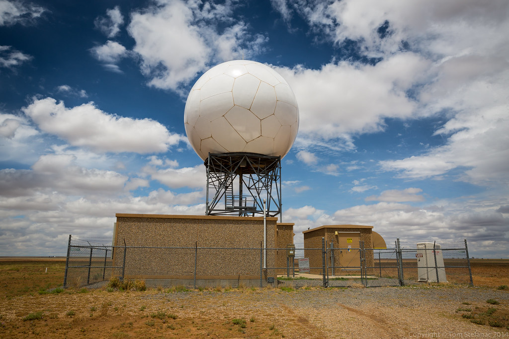
CIMG2378
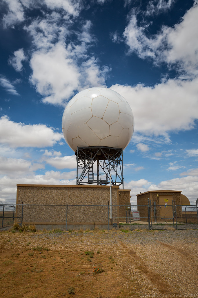
20160519-085A4881.jpg
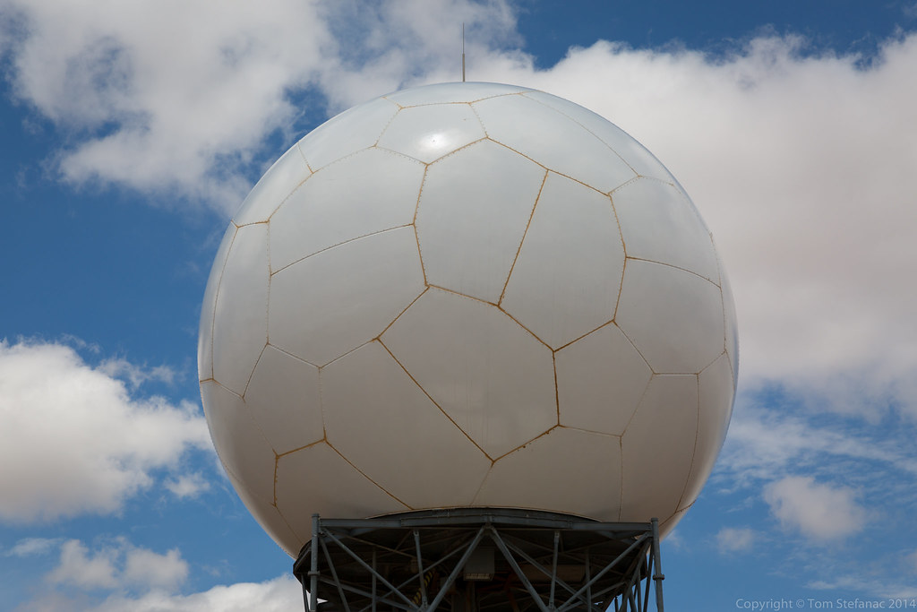
20160519-085A4865.jpg
Aerial Photography Airplane Fly New Mexico Desert IMG_2698
20140524-_E1A2985.jpg
20140524-_E1A2981.jpg
20140524-_E1A2976.jpg
Topographic Map of NM-, Melrose, NM, USA
Find elevation by address:

Places near NM-, Melrose, NM, USA:
Melrose
N Main St, Clovis, NM, USA
962 R R
Expansion St, Clovis, NM, USA
Curry County
Main St, Grady, NM, USA
30 Rope Rd
House
US-60, Clovis, NM, USA
Quay County
Big Mesa Realty
Broadview
NM-, Broadview, NM, USA
1700 W 7th St
NM-, Floyd, NM, USA
109 Asher Dr
1011 Fairway Terrace
901 Laurelwood Dr
Clovis
1621 Fairmont Ct
Recent Searches:
- Elevation of Corso Fratelli Cairoli, 35, Macerata MC, Italy
- Elevation of Tallevast Rd, Sarasota, FL, USA
- Elevation of 4th St E, Sonoma, CA, USA
- Elevation of Black Hollow Rd, Pennsdale, PA, USA
- Elevation of Oakland Ave, Williamsport, PA, USA
- Elevation of Pedrógão Grande, Portugal
- Elevation of Klee Dr, Martinsburg, WV, USA
- Elevation of Via Roma, Pieranica CR, Italy
- Elevation of Tavkvetili Mountain, Georgia
- Elevation of Hartfords Bluff Cir, Mt Pleasant, SC, USA