Elevation of Fairway Terrace, Clovis, NM, USA
Location: United States > New Mexico > Curry County > Clovis >
Longitude: -103.19326
Latitude: 34.438425
Elevation: 1313m / 4308feet
Barometric Pressure: 87KPa
Elevation Map:
Satellite Map:
Related Photos:
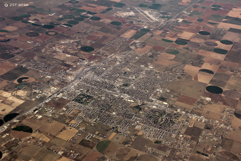
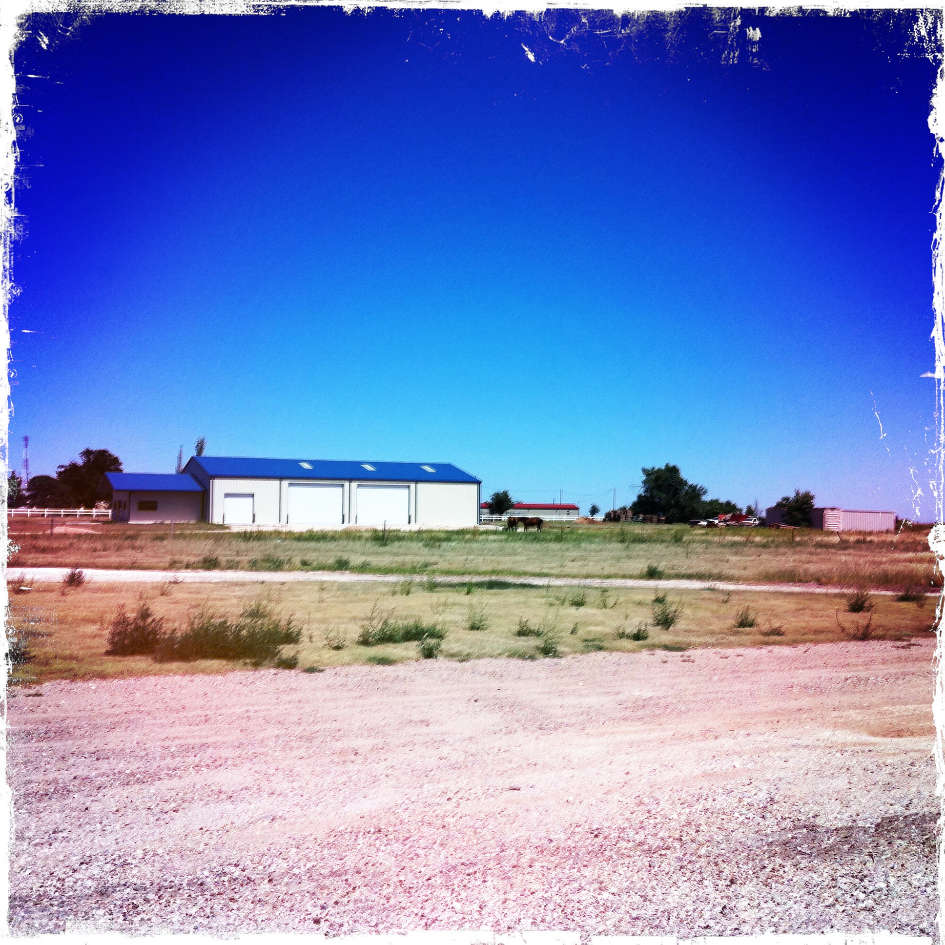
Clovis, NM 2464a
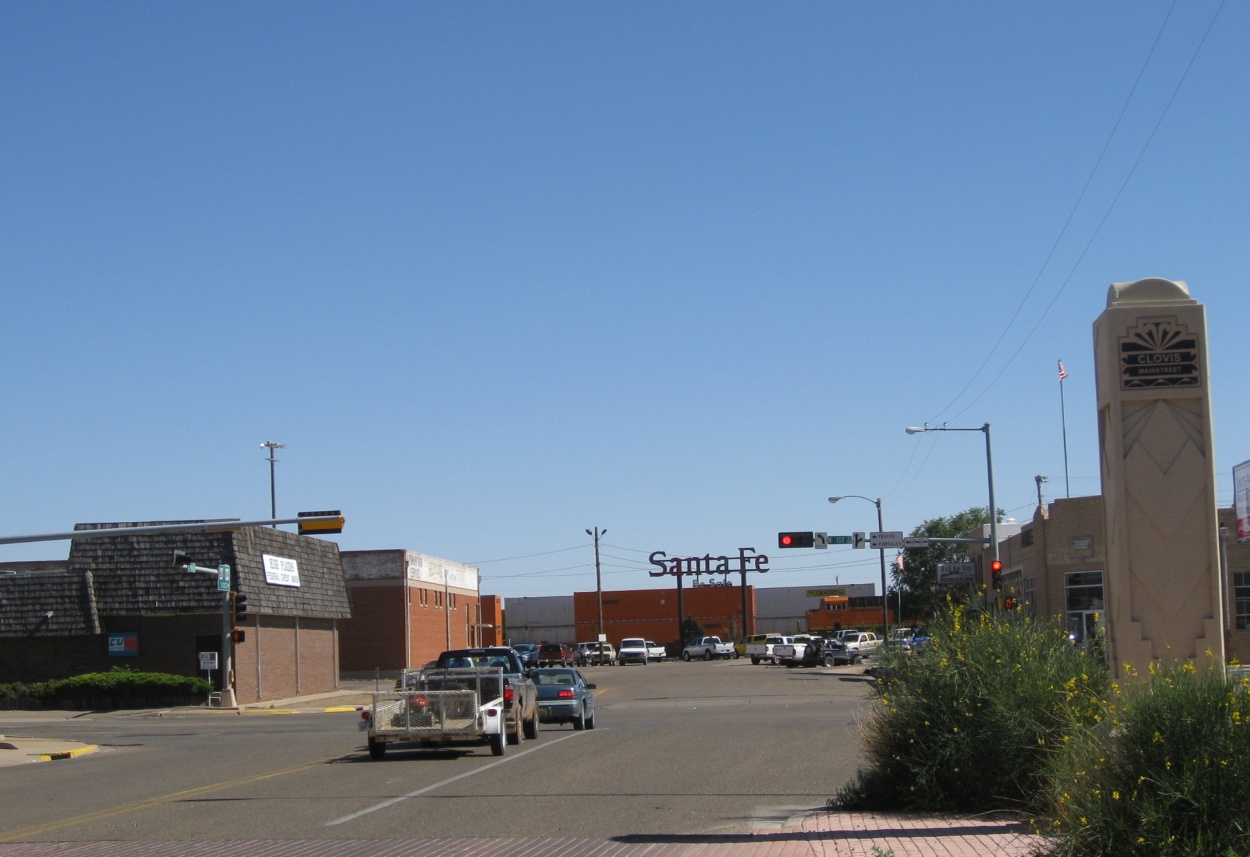
Clovis, NM
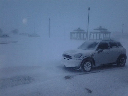
Blizzard 0634 2013-02-25
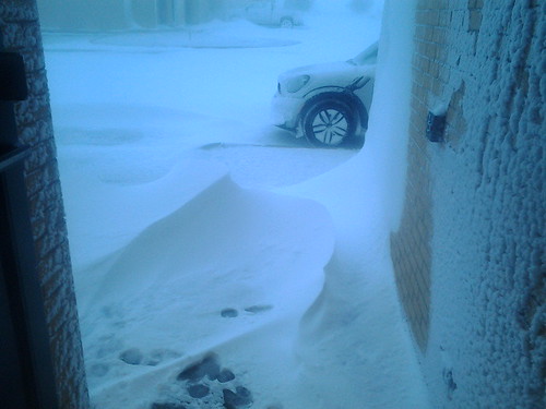
Blizzard 0632 2013-02-25

A view from our room | Blackberry
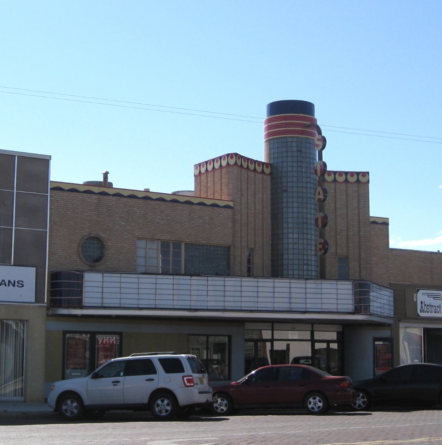
Clovis, NM 2461a

Clovis, NM 2466a
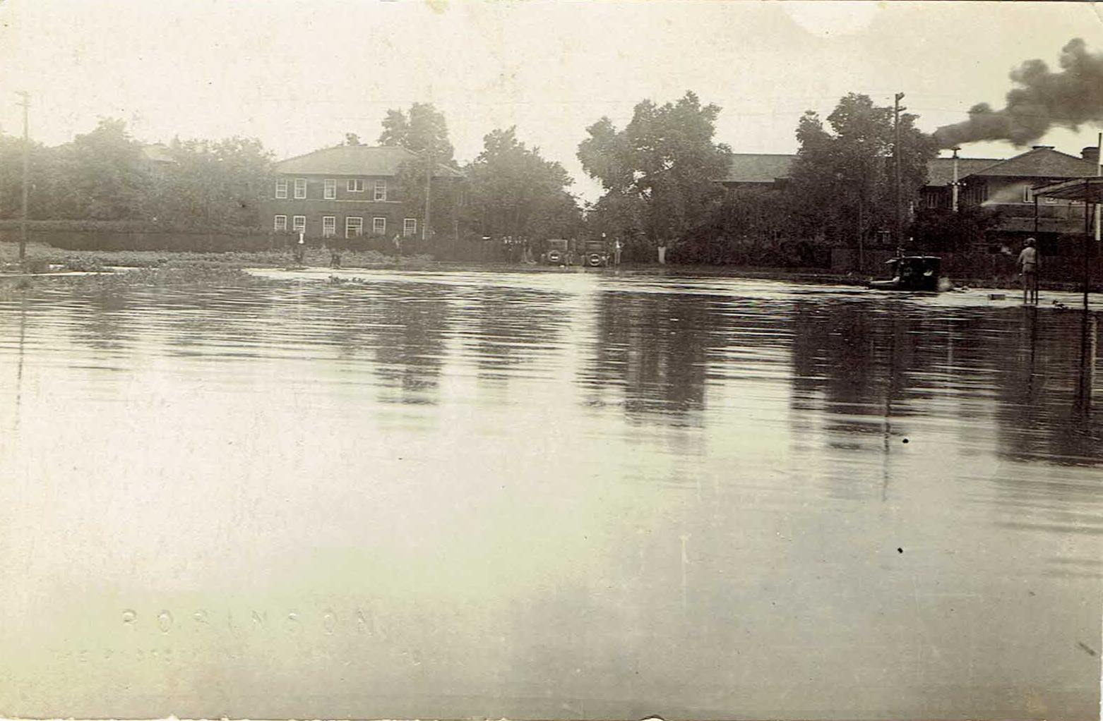
Clovis, NM Flooding 1922, Real-Photo Postcard
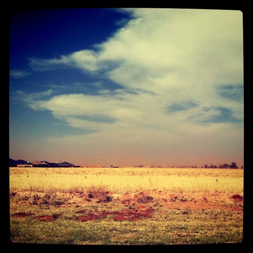
Flat ole Clovis during a dust storm
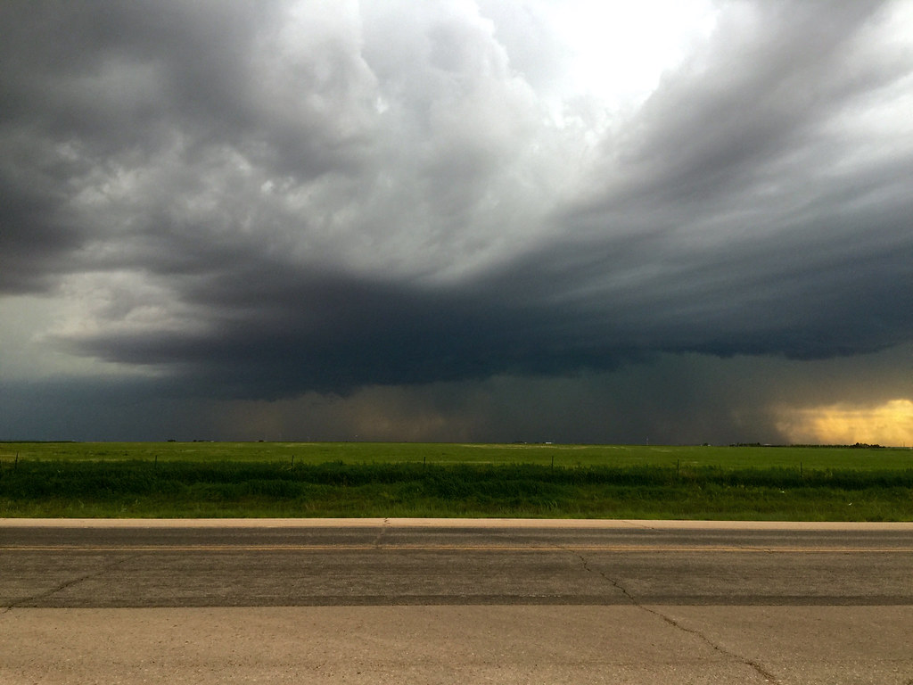
29 May 2015 Severe Storm Cell
HIP_305404189.069354
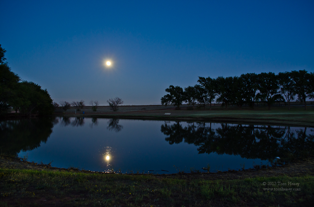
Havest Moon reflection
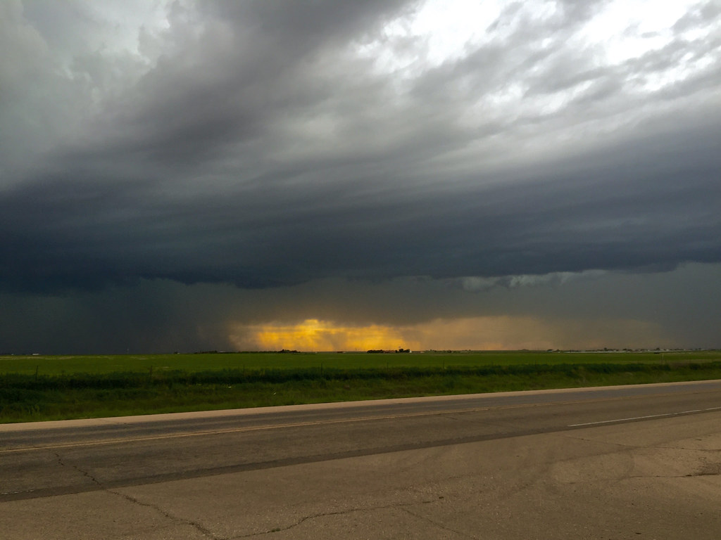
29 May 2015 Severe Storm Cell
Sunset, Clovis, NM
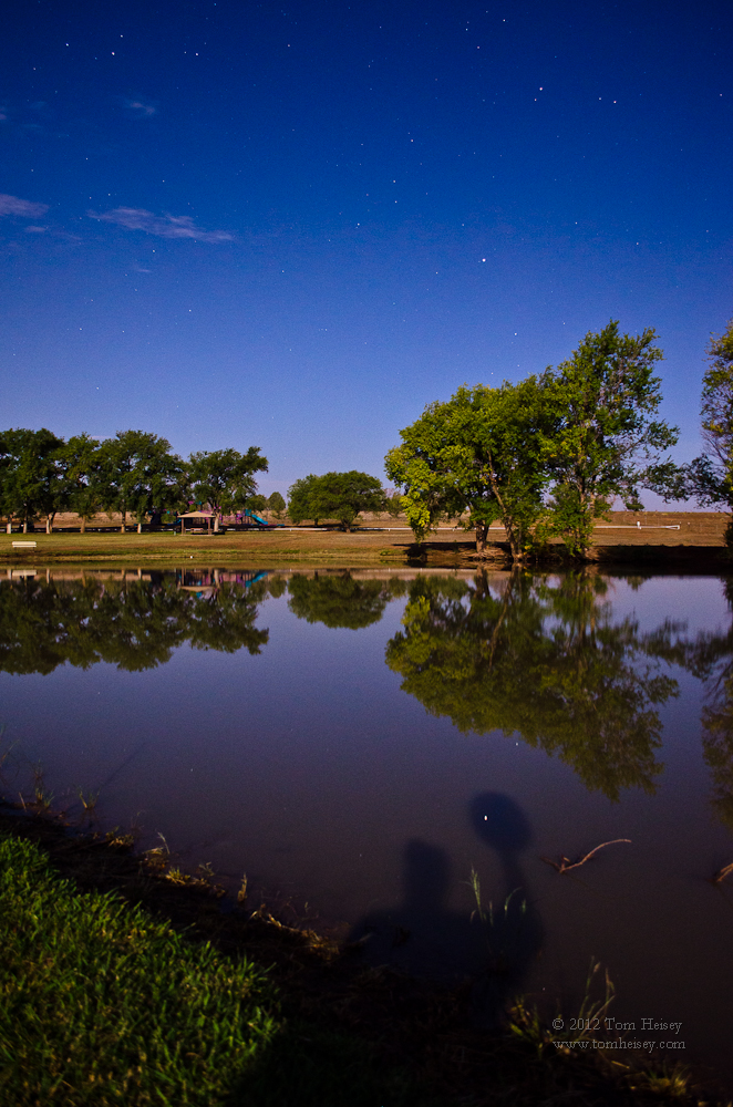
Spica reflecting under my hat
Topographic Map of Fairway Terrace, Clovis, NM, USA
Find elevation by address:

Places near Fairway Terrace, Clovis, NM, USA:
901 Laurelwood Dr
109 Asher Dr
1621 Fairmont Ct
Clovis
1700 W 7th St
US-60, Clovis, NM, USA
30 Rope Rd
Curry Rd, Texico, NM, USA
Curry County
962 R R
Expansion St, Clovis, NM, USA
Portales
1220 Oakwood Cir
N Main St, Clovis, NM, USA
Eastern New Mexico University
1901 S Avenue I
2102 Santa Clara Ct
42121 Us-70
Big Mesa Realty
NM-, Broadview, NM, USA
Recent Searches:
- Elevation of Corso Fratelli Cairoli, 35, Macerata MC, Italy
- Elevation of Tallevast Rd, Sarasota, FL, USA
- Elevation of 4th St E, Sonoma, CA, USA
- Elevation of Black Hollow Rd, Pennsdale, PA, USA
- Elevation of Oakland Ave, Williamsport, PA, USA
- Elevation of Pedrógão Grande, Portugal
- Elevation of Klee Dr, Martinsburg, WV, USA
- Elevation of Via Roma, Pieranica CR, Italy
- Elevation of Tavkvetili Mountain, Georgia
- Elevation of Hartfords Bluff Cir, Mt Pleasant, SC, USA