Elevation of Curry County, NM, USA
Location: United States > New Mexico >
Longitude: -103.26634
Latitude: 34.5751567
Elevation: 1359m / 4459feet
Barometric Pressure: 86KPa
Elevation Map:
Satellite Map:
Related Photos:
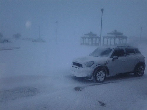
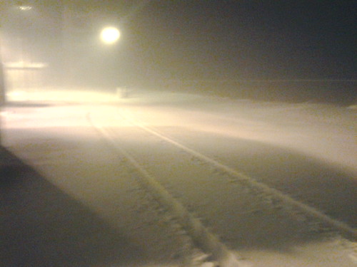
Blizzard 0634 2013-02-25
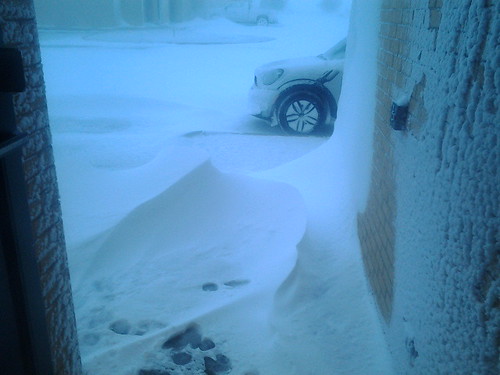
Blizzard 0632 2013-02-25

Spica reflecting under my hat
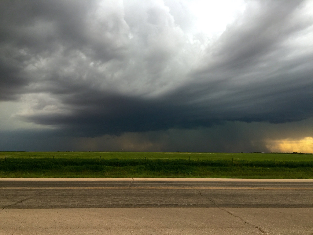
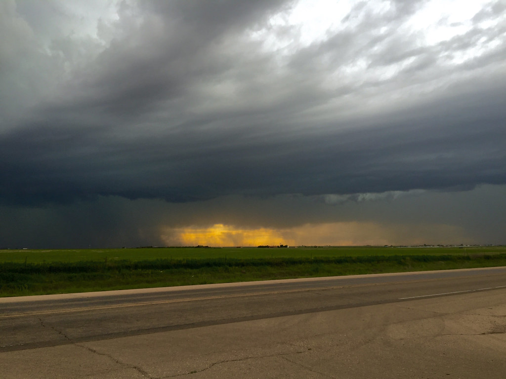
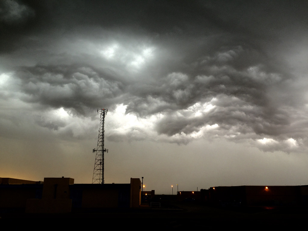
29 May 2015 Severe Storm Cell
HIP_305404189.069354

Havest Moon reflection
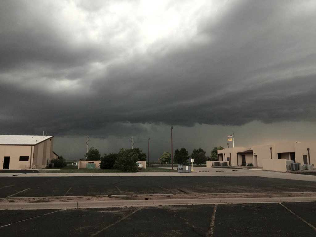
29 May 2015 Severe Storm Cell
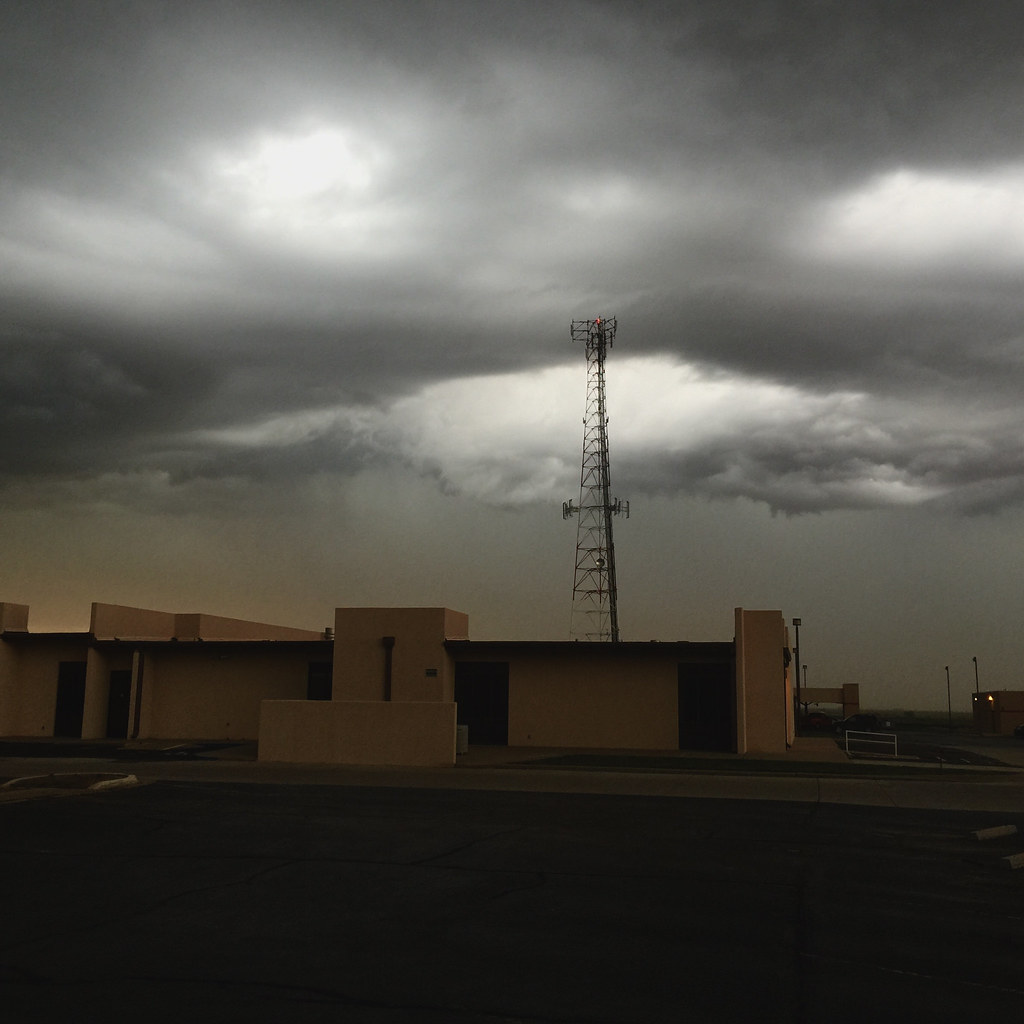
29 May 2015 Severe Storm Cell
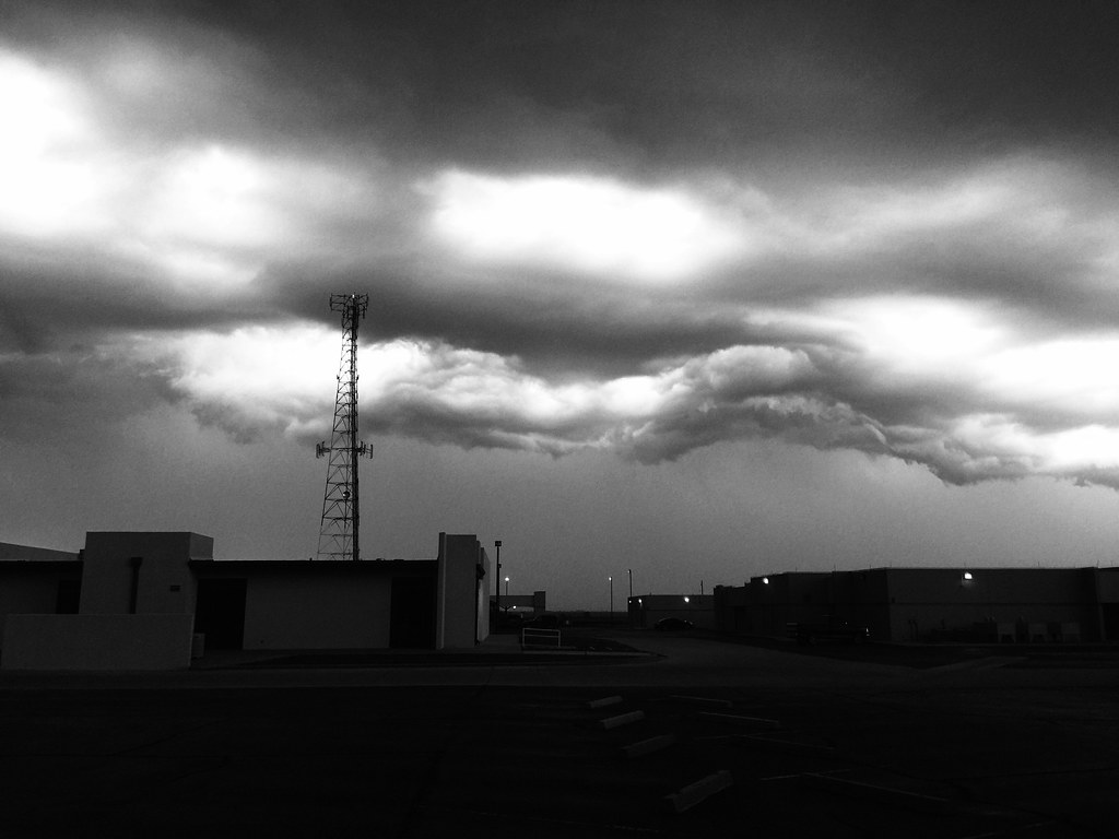
29 May 2015 Severe Storm Cell
29 May 2015 Severe Storm Cell

29 May 2015 Severe Storm Cell

29 May 2015 Severe Storm Cell

29 May 2015 Severe Storm Cell
29 May 2015 Severe Storm Cell

Yum Fresh Smoothie
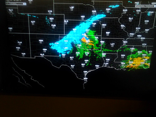
Blizzard Radar 0633 2013-02-25

Blizzard 0440 2013-02-25

Blizzard 0233 2013-02-25
Blizzard 0239 2013-02-25

Blizzard 0232 2013-02-25

2IMG_0170 copy

Clovis, NM

Eastern New Mexico University Roswell Library
Topographic Map of Curry County, NM, USA
Find elevation by address:

Places in Curry County, NM, USA:
Places near Curry County, NM, USA:
962 R R
30 Rope Rd
109 Asher Dr
1011 Fairway Terrace
901 Laurelwood Dr
US-60, Clovis, NM, USA
1700 W 7th St
1621 Fairmont Ct
Clovis
Curry Rd, Texico, NM, USA
Expansion St, Clovis, NM, USA
Big Mesa Realty
NM-, Broadview, NM, USA
Broadview
Main St, Grady, NM, USA
N Main St, Clovis, NM, USA
NM-, Melrose, NM, USA
Melrose
Portales
1220 Oakwood Cir
Recent Searches:
- Elevation of Corso Fratelli Cairoli, 35, Macerata MC, Italy
- Elevation of Tallevast Rd, Sarasota, FL, USA
- Elevation of 4th St E, Sonoma, CA, USA
- Elevation of Black Hollow Rd, Pennsdale, PA, USA
- Elevation of Oakland Ave, Williamsport, PA, USA
- Elevation of Pedrógão Grande, Portugal
- Elevation of Klee Dr, Martinsburg, WV, USA
- Elevation of Via Roma, Pieranica CR, Italy
- Elevation of Tavkvetili Mountain, Georgia
- Elevation of Hartfords Bluff Cir, Mt Pleasant, SC, USA