Elevation of Niotaze, KS, USA
Location: United States > Kansas >
Longitude: -96.013594
Latitude: 37.0736771
Elevation: 232m / 761feet
Barometric Pressure: 99KPa
Elevation Map:
Satellite Map:
Related Photos:

Joseph H. Graves

Screen Doors

Sandstone ruin in Chatauqua

Side View
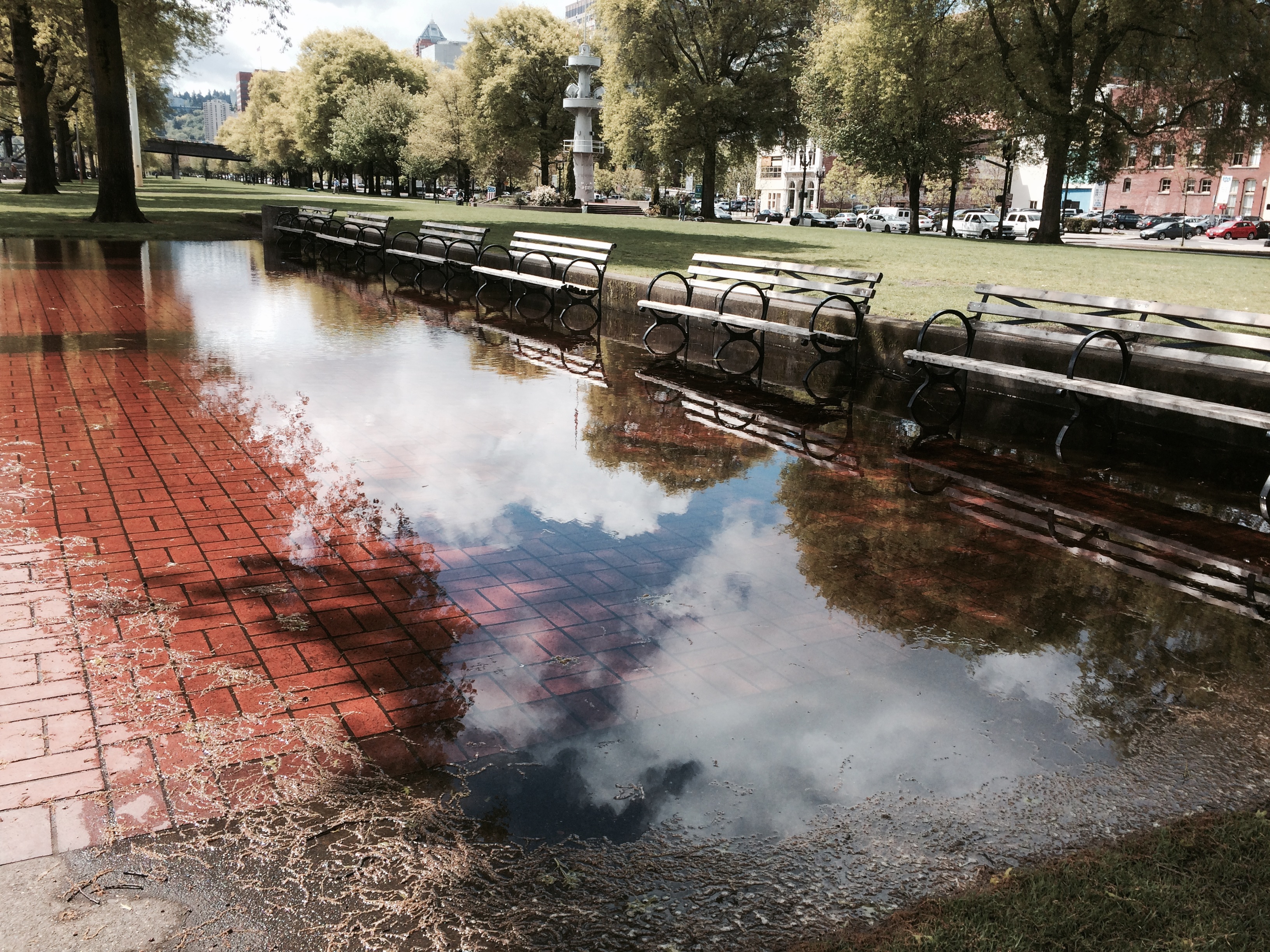
Reflections In Waterfront Park

Old Building

Storm Brewing Over Pensacola Beach

Kansas City Gardens

Stormy Sky at Dusk

Camera Roll-740

Camera Roll-602

Camera Roll-743

Camera Roll-744
Topographic Map of Niotaze, KS, USA
Find elevation by address:

Places in Niotaze, KS, USA:
Places near Niotaze, KS, USA:
Lake Creek
Wood Street Hardware
Caney
34 N Havana Lake Rd
Caney Valley High School
Spears Mfg.
Caney
Cotton-coon-mission Creek Site 4 Reservoir
Kiels Place Away To Dream Of Janine
E Bell Wayside St, Independence, KS, USA
Hickory Hill Rd, Pawhuska, OK, USA
Rutland
E Main St, Sedan, KS, USA
Little House On The Prairie Museum
W Rd, Copan, OK, USA
Copan
113 S Gertrude Ave
Whippoorwill
3800 Road
Lafayette
Recent Searches:
- Elevation of Corso Fratelli Cairoli, 35, Macerata MC, Italy
- Elevation of Tallevast Rd, Sarasota, FL, USA
- Elevation of 4th St E, Sonoma, CA, USA
- Elevation of Black Hollow Rd, Pennsdale, PA, USA
- Elevation of Oakland Ave, Williamsport, PA, USA
- Elevation of Pedrógão Grande, Portugal
- Elevation of Klee Dr, Martinsburg, WV, USA
- Elevation of Via Roma, Pieranica CR, Italy
- Elevation of Tavkvetili Mountain, Georgia
- Elevation of Hartfords Bluff Cir, Mt Pleasant, SC, USA