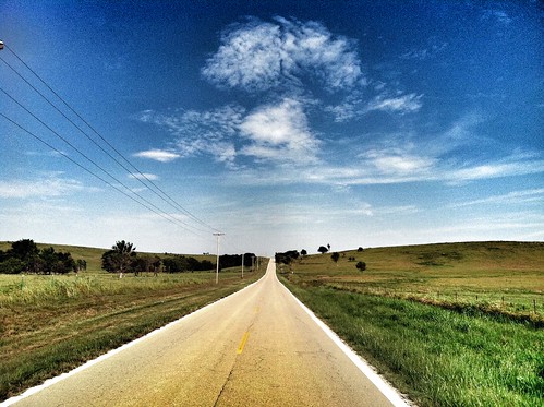
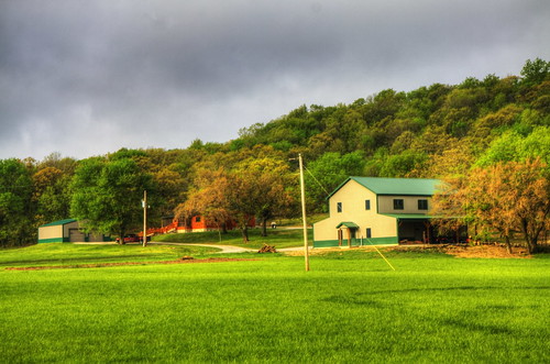
Elevation of W Rd, Copan, OK, USA
Location: United States > Oklahoma > Washington County >
Longitude: -95.859425
Latitude: 36.970579
Elevation: 233m / 764feet
Barometric Pressure: 99KPa
Related Photos:
Topographic Map of W Rd, Copan, OK, USA
Find elevation by address:

Places near W Rd, Copan, OK, USA:
Kiels Place Away To Dream Of Janine
Caney Valley High School
Spears Mfg.
Caney
Wood Street Hardware
Caney
34 N Havana Lake Rd
Lake Creek
Fawn Creek
Fawn Creek Farm
Bluff Run
First Southern Baptist Church
Coffeyville
Asbury Village
Market St.njeru-jinja Uganda
Equity Bank
Aspen Contracting, Inc.
Fairview Cemetery
Green Acres Garden Center & Florist
Taco Bell
Recent Searches:
- Elevation of Corso Fratelli Cairoli, 35, Macerata MC, Italy
- Elevation of Tallevast Rd, Sarasota, FL, USA
- Elevation of 4th St E, Sonoma, CA, USA
- Elevation of Black Hollow Rd, Pennsdale, PA, USA
- Elevation of Oakland Ave, Williamsport, PA, USA
- Elevation of Pedrógão Grande, Portugal
- Elevation of Klee Dr, Martinsburg, WV, USA
- Elevation of Via Roma, Pieranica CR, Italy
- Elevation of Tavkvetili Mountain, Georgia
- Elevation of Hartfords Bluff Cir, Mt Pleasant, SC, USA
