Elevation of E Bell Wayside St, Independence, KS, USA
Location: United States > Kansas > Montgomery County > Caney > Caney >
Longitude: -95.871796
Latitude: 37.1235721
Elevation: 269m / 883feet
Barometric Pressure: 98KPa
Elevation Map:
Satellite Map:
Related Photos:

The Wagon and the Little House on the Prairie
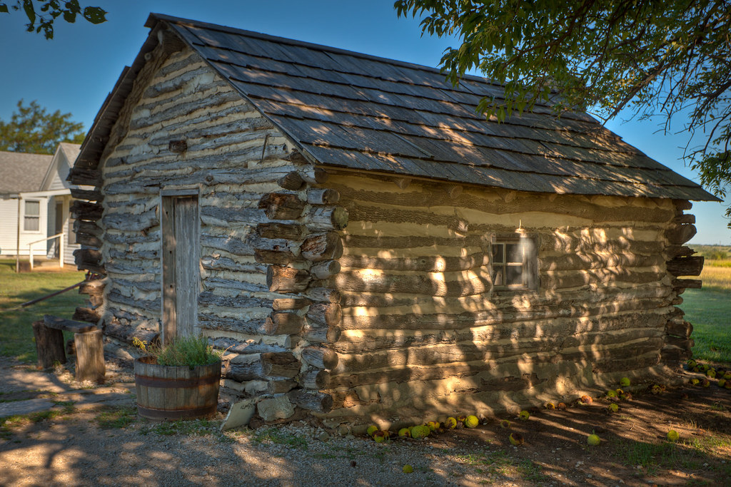
Little House on the Prairie
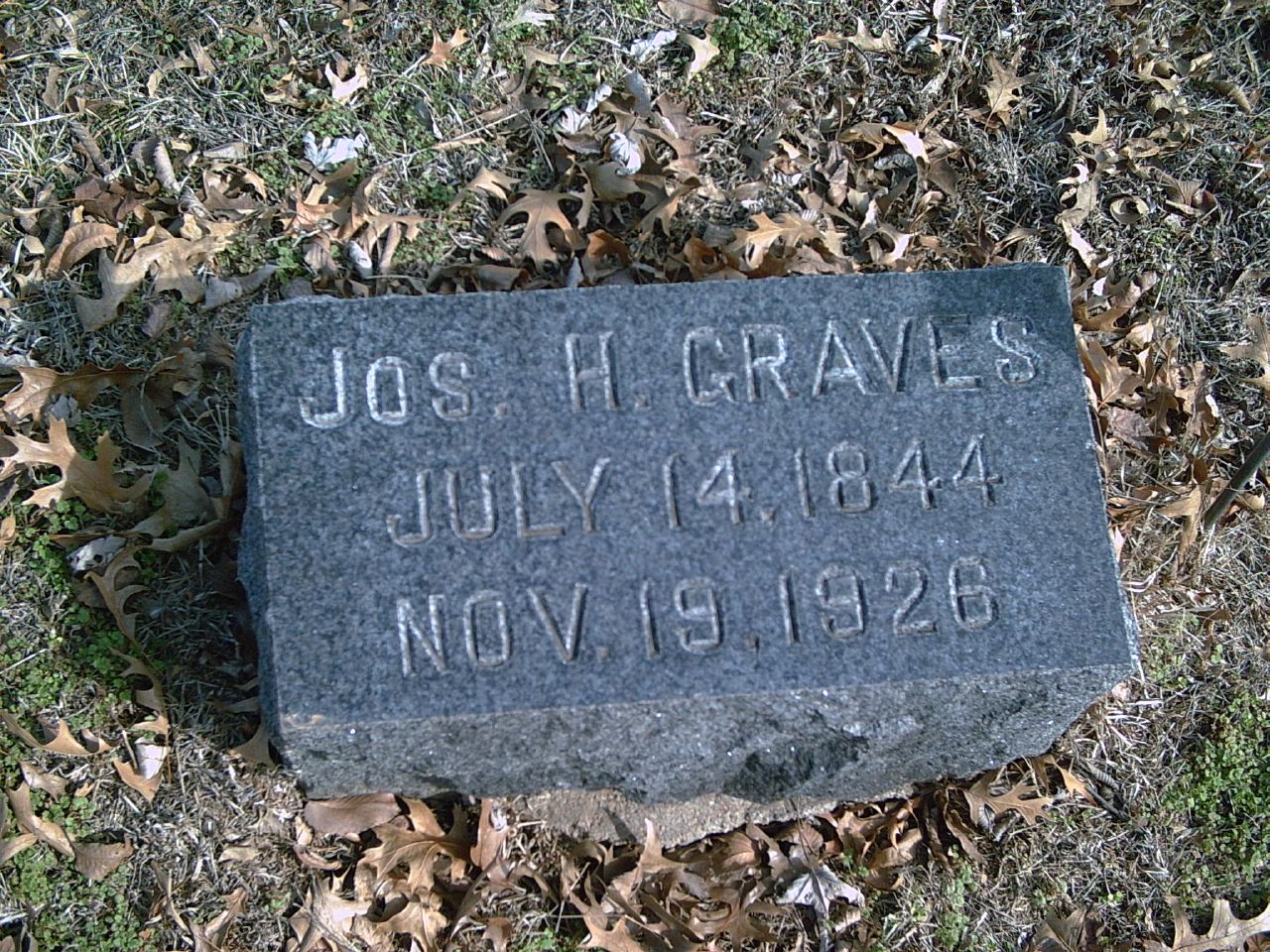
Joseph H. Graves

Horse
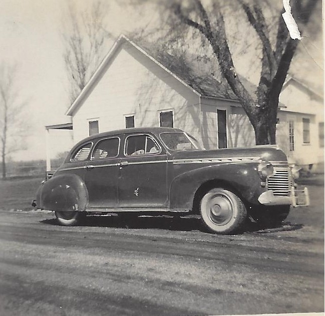
Ted Bennetts 41 Chevy-1952

Old Wall
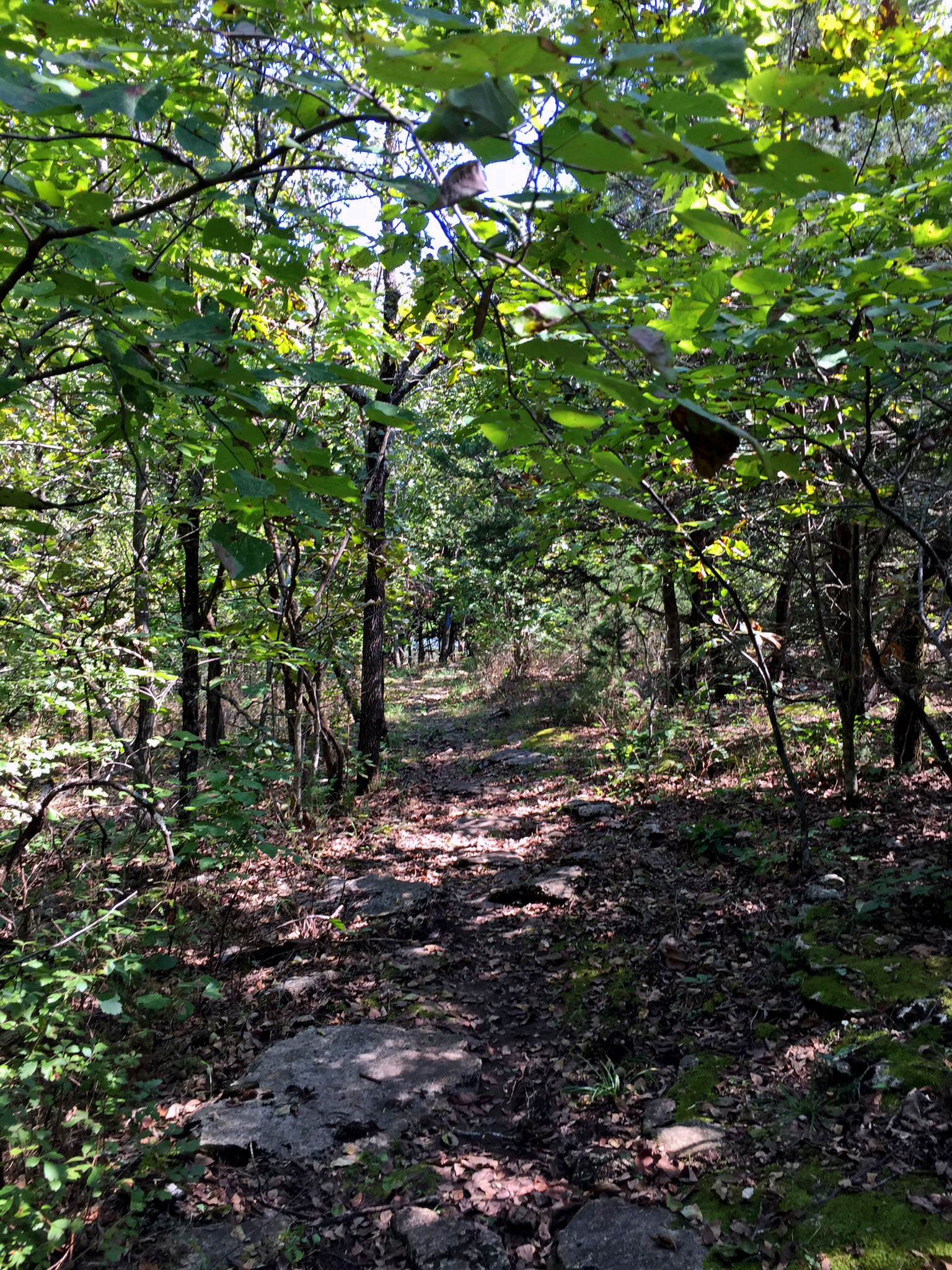
Elk River Center Section Access Trail
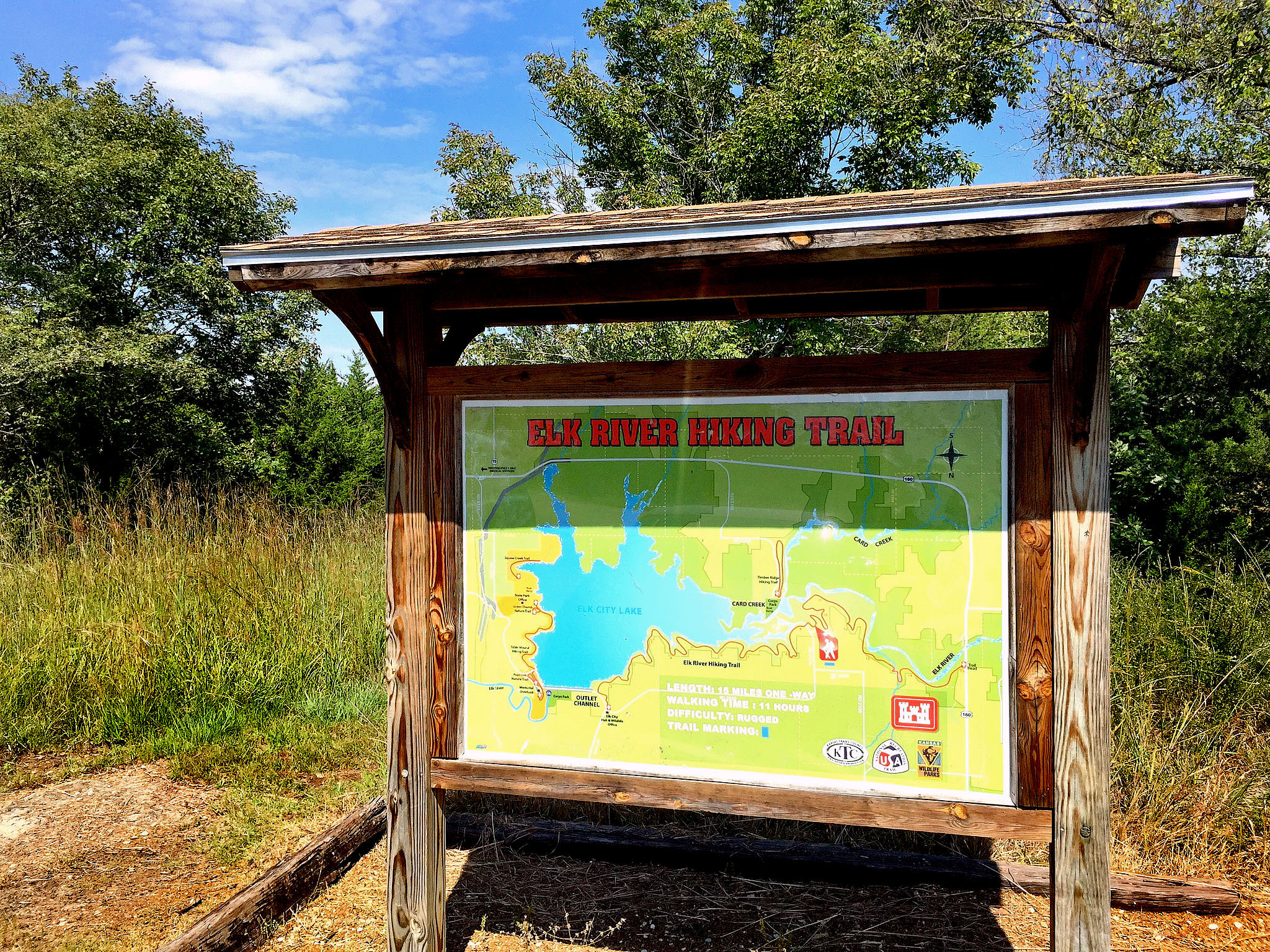
Trailhead Sign
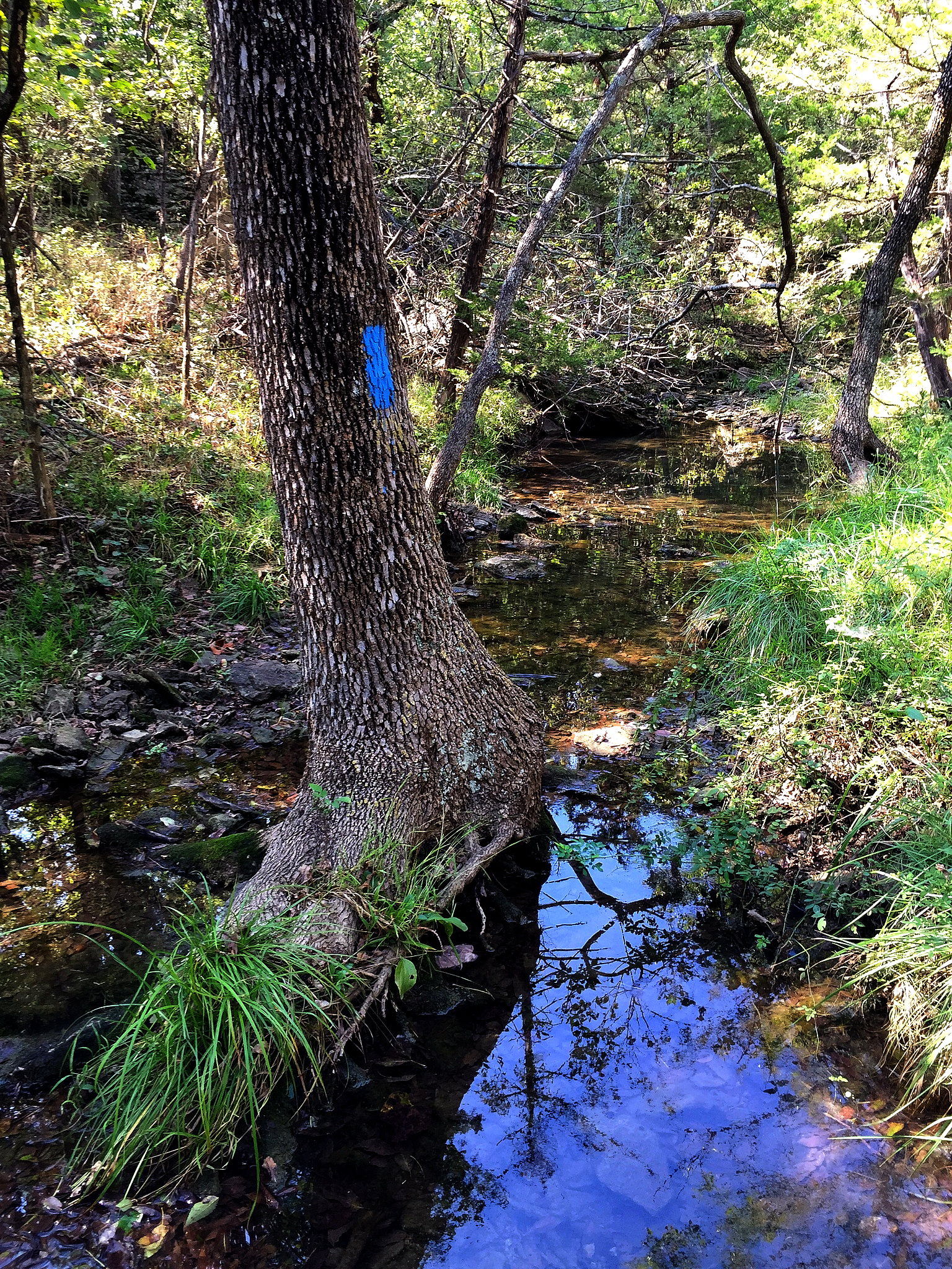
In the stream
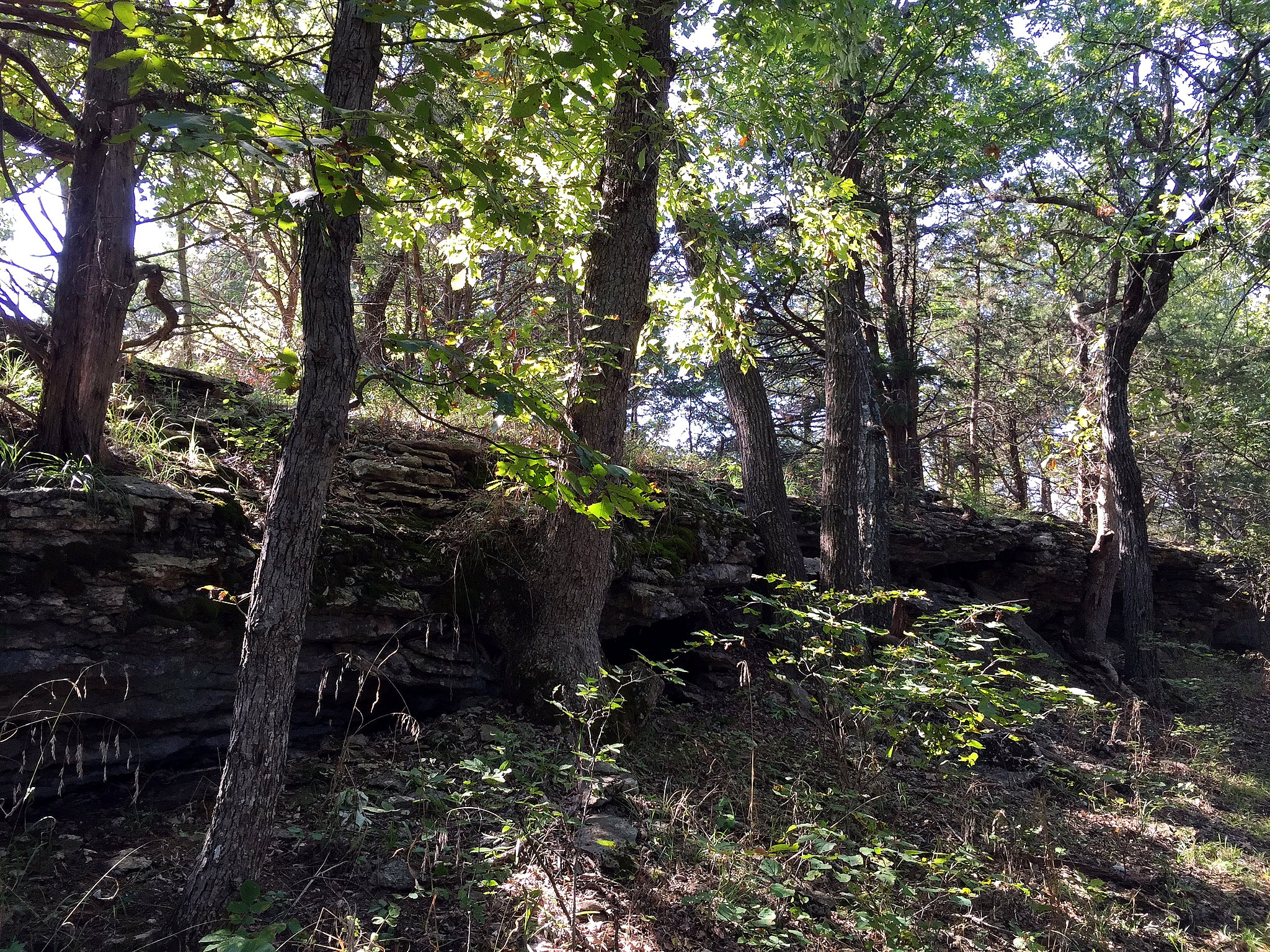
Small bluff

Nature's Corner
Car Sticks
Topographic Map of E Bell Wayside St, Independence, KS, USA
Find elevation by address:

Places near E Bell Wayside St, Independence, KS, USA:
Little House On The Prairie Museum
Rutland
3800 Road
Walker Mound
Independence, KS, USA
Montgomery County
Cashmere
Testo Boost In Usa
Mars Appreciation All The Good
The Salvation Army Lighthouse Recovery Center
Ruth's Pull Up A Chair
Beaver Dam Bar And Grill
Laurence B. Green
Robert V. Sindoni, Lcsw
Caglianone, Miller & Anthony, P.a.
Sky City Community School
Lynsey V. Flaherty, Msw
Fallon Schultz, Lcsw
Teresa K. Fatum, Crna
Shannon P. Peel, Atc
Recent Searches:
- Elevation of Corso Fratelli Cairoli, 35, Macerata MC, Italy
- Elevation of Tallevast Rd, Sarasota, FL, USA
- Elevation of 4th St E, Sonoma, CA, USA
- Elevation of Black Hollow Rd, Pennsdale, PA, USA
- Elevation of Oakland Ave, Williamsport, PA, USA
- Elevation of Pedrógão Grande, Portugal
- Elevation of Klee Dr, Martinsburg, WV, USA
- Elevation of Via Roma, Pieranica CR, Italy
- Elevation of Tavkvetili Mountain, Georgia
- Elevation of Hartfords Bluff Cir, Mt Pleasant, SC, USA