Elevation of Nijgadh, Nepal
Location: Nepal > Central Region > Narayani >
Longitude: 85.1271907
Latitude: 27.2066797
Elevation: 192m / 630feet
Barometric Pressure: 99KPa
Elevation Map:
Satellite Map:
Related Photos:
20180928.0036.NEPAL.Ratanpur

20180928.0030.NEPAL.Pipara Simara

20180928.0034.NEPAL.Ratanpur

20180928.0035.NEPAL.Ratanpur

20180928.0031.NEPAL.Hatiya

20180928.0033.NEPAL.Ratanpur

Bardibas to Hetauda: Back into the Hills

1959 No. 41 Sqn personnel supervise local workers from the Nepalese Oil Company refuel a Bristol Freighter at Simara, Nepal. LAC AK Graham (second from left) and LAC B Hunter (third from left), both from Dargaville, Apr 1959.

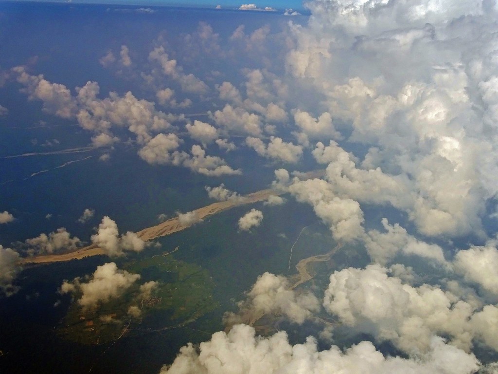
Flight to Kathmandu from South

Flight to Kathmandu from South

Flight to Kathmandu from South
Flight to Kathmandu from South

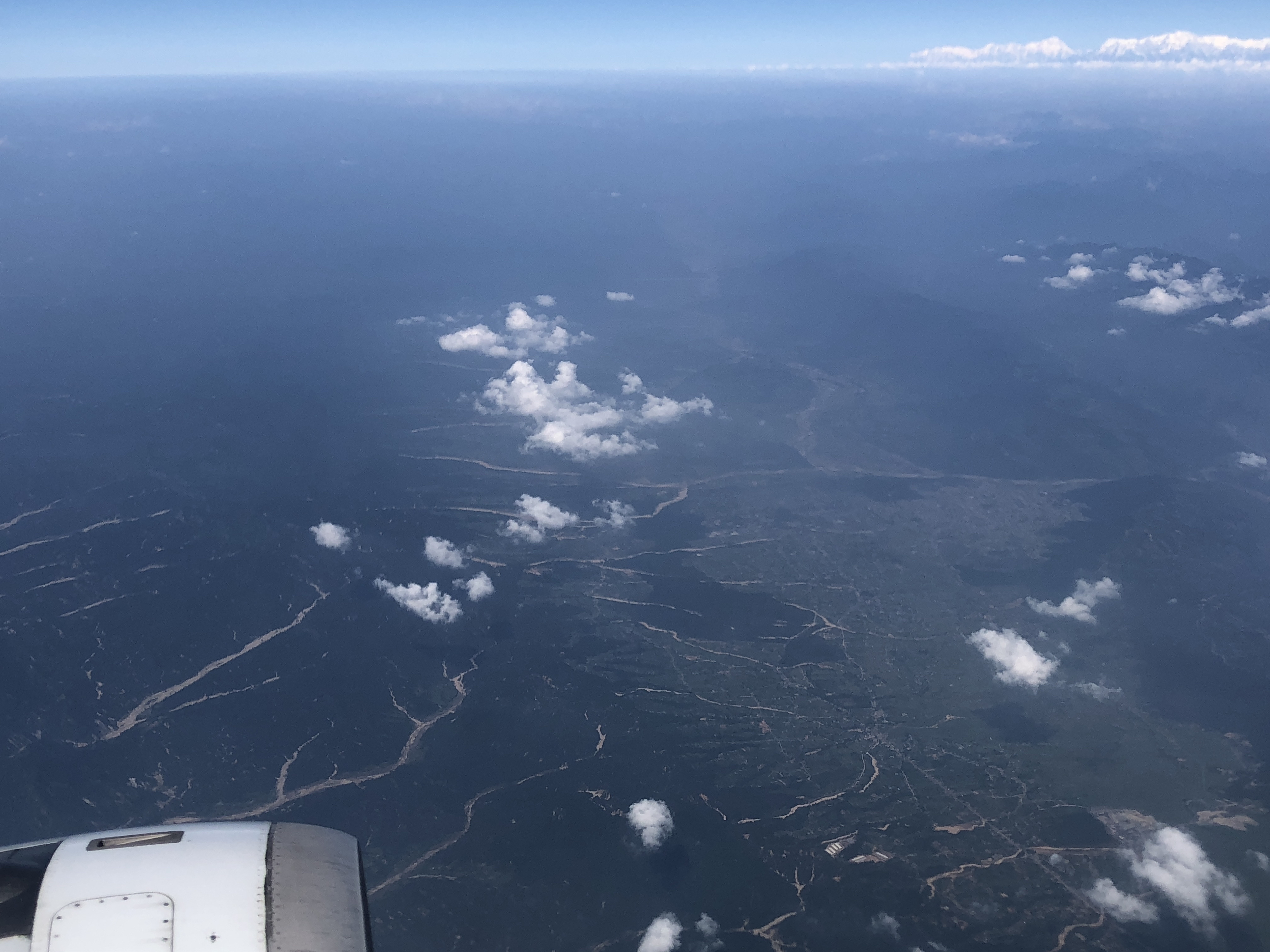
Flight into Kathmandu

Flight into Kathmandu

20181008.3001.NEPAL.Nigadh

20181008.3003.NEPAL.Nigadh

20181008.3004.NEPAL.Nigadh

20181008.3005.NEPAL.Nigadh

20181008.3006.NEPAL.Nigadh

20181008.3007.NEPAL.Nigadh

20181008.3008.NEPAL.Nigadh
Topographic Map of Nijgadh, Nepal
Find elevation by address:

Places near Nijgadh, Nepal:
Bara
Sapahi
Kolhabi
Sapahi Road
Ranisera Makwanpur
Ranisera Market
Chaughada Bazar
Makwanpurgadhi
Hupra Chaur
Rautahat
Chaukitol Jhulunge Pul
Hetauda
Jhor Mahankal
Central Region
Birgunj
Narayani
Parsa
Garuda
Raxaul
Lalitpur
Recent Searches:
- Elevation of Corso Fratelli Cairoli, 35, Macerata MC, Italy
- Elevation of Tallevast Rd, Sarasota, FL, USA
- Elevation of 4th St E, Sonoma, CA, USA
- Elevation of Black Hollow Rd, Pennsdale, PA, USA
- Elevation of Oakland Ave, Williamsport, PA, USA
- Elevation of Pedrógão Grande, Portugal
- Elevation of Klee Dr, Martinsburg, WV, USA
- Elevation of Via Roma, Pieranica CR, Italy
- Elevation of Tavkvetili Mountain, Georgia
- Elevation of Hartfords Bluff Cir, Mt Pleasant, SC, USA