Elevation of Rautahat, Nepal
Location: Nepal > Central Region > Narayani >
Longitude: 85.3136218
Latitude: 27.0486903
Elevation: 107m / 351feet
Barometric Pressure: 100KPa
Elevation Map:
Satellite Map:
Related Photos:
20181008.3011.NEPAL.Malta
20181008.3012.NEPAL.Chandranigahpur
20181008.3013.NEPAL.Chandranigahpur
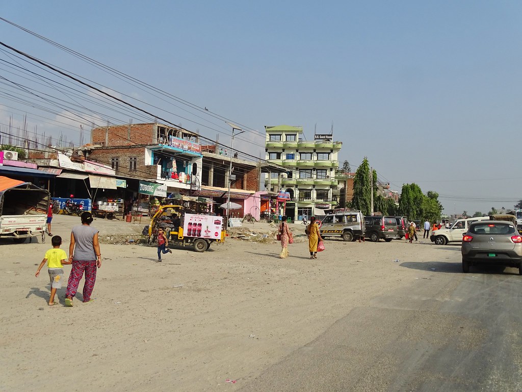
20181008.3014.NEPAL.Chandranigahpur
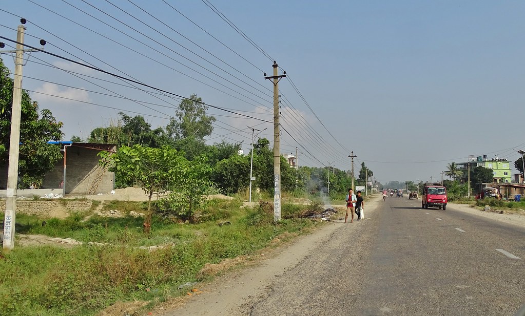
20181008.3015.NEPAL.Chandranigahpur

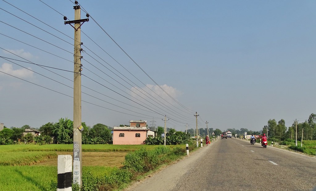
20181008.3016.NEPAL.Chandranigahpur
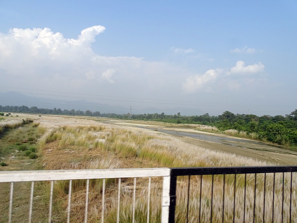
20181008.3017.NEPAL.Chandranigahpur
20181008.3018.NEPAL.Chandranigahpur
20181008.3019.NEPAL.Chandranigahpur

2018-11-04-08-04-34-347

2018-11-03-10-58-10-455

2018-11-03-10-57-01-185

2018-11-03-10-51-25-481

2018-11-02-12-21-09-945
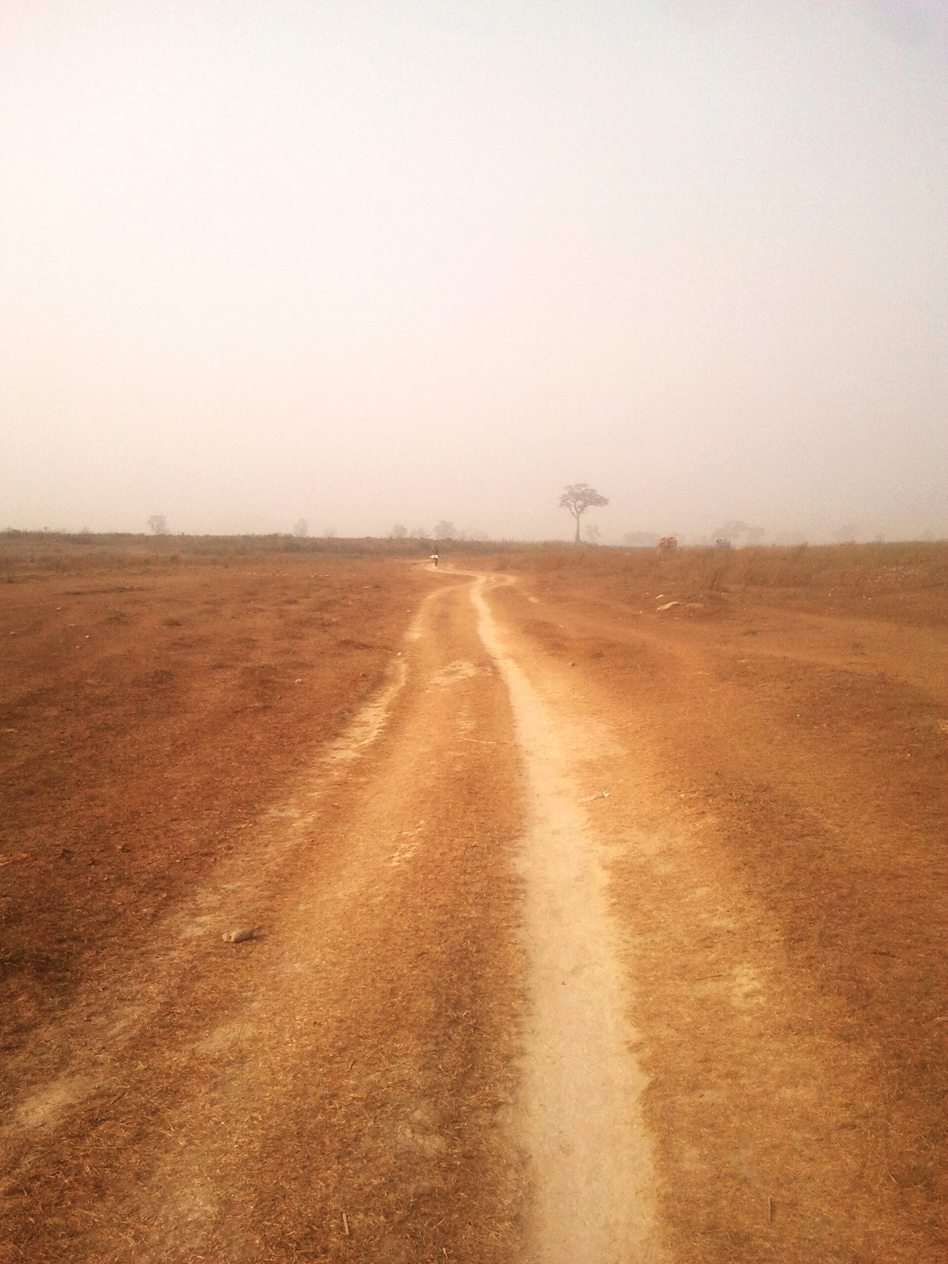
Long way to home .... Gaurav Dhwaj Khadka Karmaihiya Sarlahi Nepal The Great Outdoors - 2015 EyeEm Awards Life In Nepal Nepali Way Tree

13/365

Tribhuvan International Airport

Tribhuvan International Airport

Tribhuvan International Airport
_DSC9040 1
Day of NEPAL
Topographic Map of Rautahat, Nepal
Find elevation by address:

Places near Rautahat, Nepal:
Garuda
Sapahi Road
Sapahi
Kolhabi
Sikhauna
Ramban Road
Ramnagar Bahuarwa
Ramnagar Bahaur
Nijgadh
Hariyon
Sarlahi
Bara
Lalbandi
Ranisera Makwanpur
Ranisera Market
Parsa
Province No. 2
Makwanpurgadhi
Central Region
Chaughada Bazar
Recent Searches:
- Elevation of Corso Fratelli Cairoli, 35, Macerata MC, Italy
- Elevation of Tallevast Rd, Sarasota, FL, USA
- Elevation of 4th St E, Sonoma, CA, USA
- Elevation of Black Hollow Rd, Pennsdale, PA, USA
- Elevation of Oakland Ave, Williamsport, PA, USA
- Elevation of Pedrógão Grande, Portugal
- Elevation of Klee Dr, Martinsburg, WV, USA
- Elevation of Via Roma, Pieranica CR, Italy
- Elevation of Tavkvetili Mountain, Georgia
- Elevation of Hartfords Bluff Cir, Mt Pleasant, SC, USA