Elevation of Birgunj, Nepal
Location: Nepal > Central Region > Narayani >
Longitude: 84.8672171
Latitude: 27.0449005
Elevation: 86m / 282feet
Barometric Pressure: 100KPa
Elevation Map:
Satellite Map:
Related Photos:

Morning view of Birgunj Nepal Bazaar

Ghadiarwa Pokhari

<3
Neelam Kali ankhen

Ready for Reception party ....
Neelam with PCSharma

Neelam with PCSharma
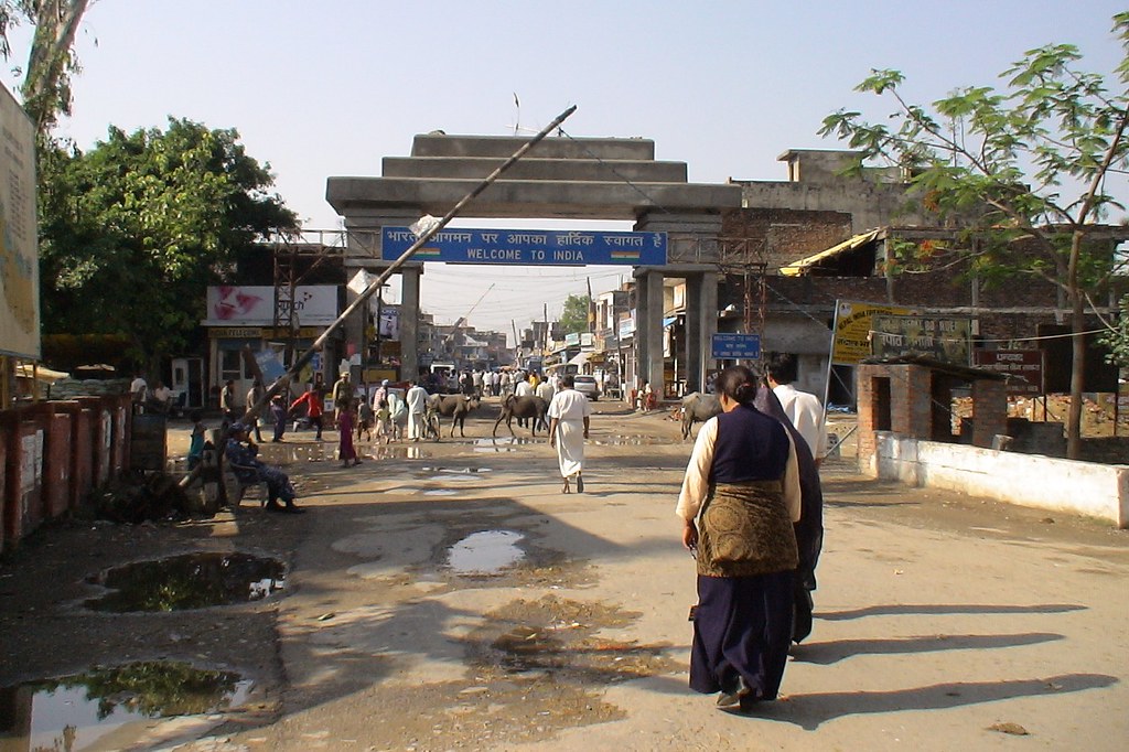
Nepal-India Sunauli Border Crossing

Without comment..

Groom (बेहुला)
16G02_Neelam to Hasopur (1)

16G02_Neelam to Hasopur (2)

16B22_DrSCSharma_MOIC Chamber (10)

With CS Motihari Piparpati
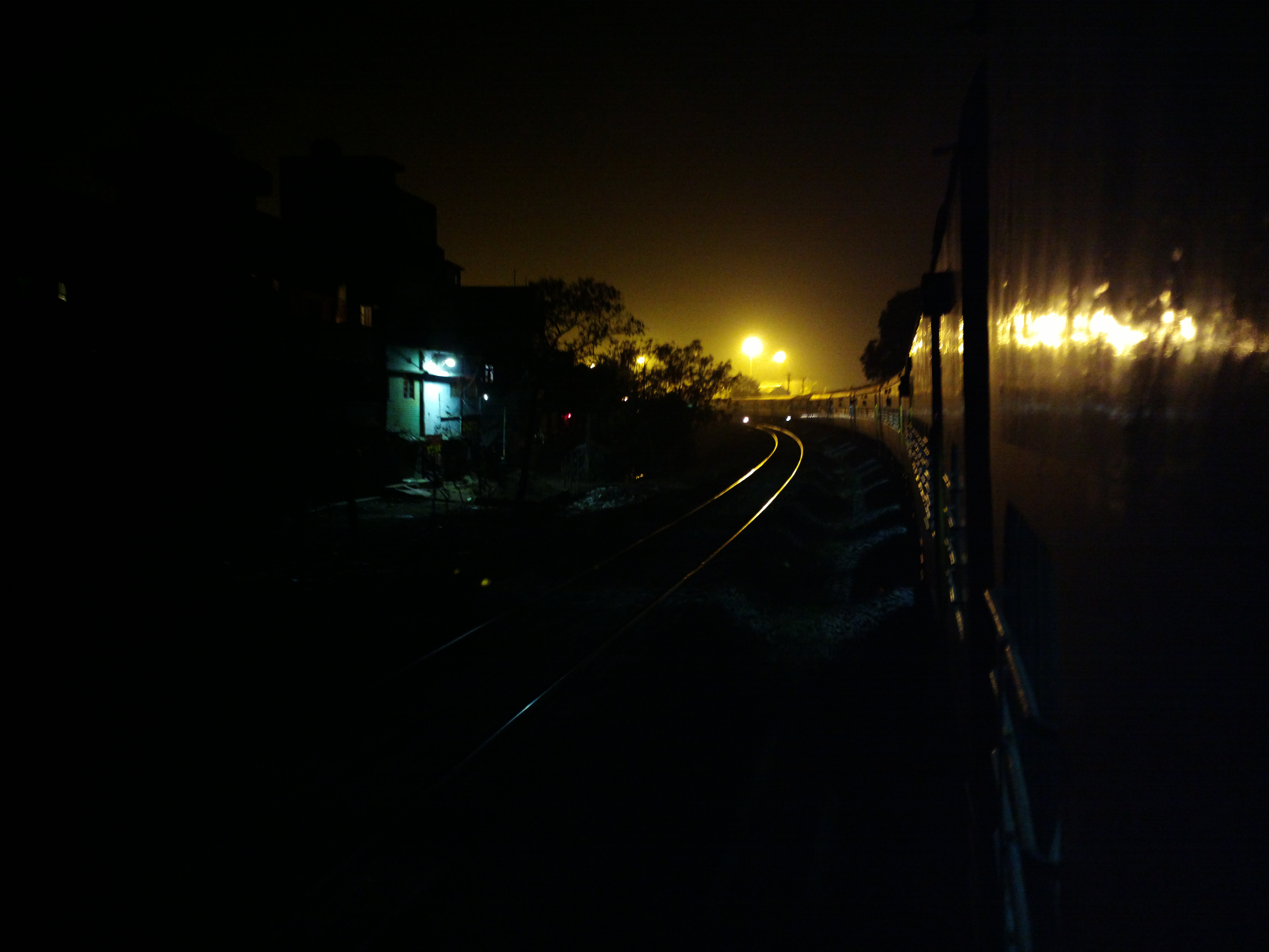
HYD-RXL Express entering first time in Raxaul

My sis and me , dental smile :D

Birganj, Népal

20130617-115327.JPG

20130617-093950.JPG

Hamrobirgunj Logo
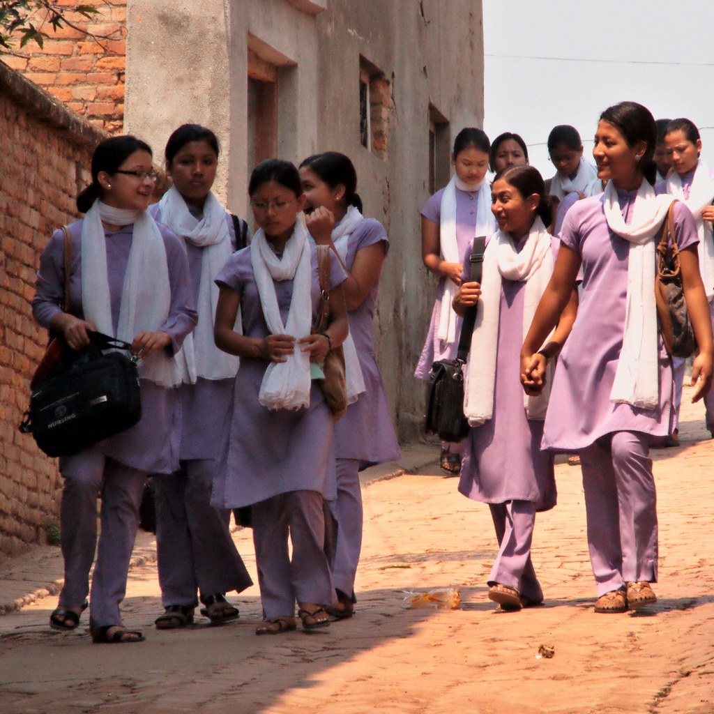
Etudiantes / Female students
Topographic Map of Birgunj, Nepal
Find elevation by address:

Places near Birgunj, Nepal:
Raxaul
Hariharpur
Parsa
Bara
Nijgadh
Sapahi
Kolhabi
Narayani
Sapahi Road
Hupra Chaur
Chaughada Bazar
Hetauda
Bettiah
Chaukitol Jhulunge Pul
Rautahat
Garuda
Makwanpurgadhi
Ranisera Makwanpur
Ranisera Market
Makwanpur
Recent Searches:
- Elevation of Corso Fratelli Cairoli, 35, Macerata MC, Italy
- Elevation of Tallevast Rd, Sarasota, FL, USA
- Elevation of 4th St E, Sonoma, CA, USA
- Elevation of Black Hollow Rd, Pennsdale, PA, USA
- Elevation of Oakland Ave, Williamsport, PA, USA
- Elevation of Pedrógão Grande, Portugal
- Elevation of Klee Dr, Martinsburg, WV, USA
- Elevation of Via Roma, Pieranica CR, Italy
- Elevation of Tavkvetili Mountain, Georgia
- Elevation of Hartfords Bluff Cir, Mt Pleasant, SC, USA