Elevation of NC-, Lenoir, NC, USA
Location: United States > North Carolina > Caldwell County > Yadkin Valley > Yadkin Valley >
Longitude: -81.4635684
Latitude: 36.045841
Elevation: 380m / 1247feet
Barometric Pressure: 0KPa
Related Photos:
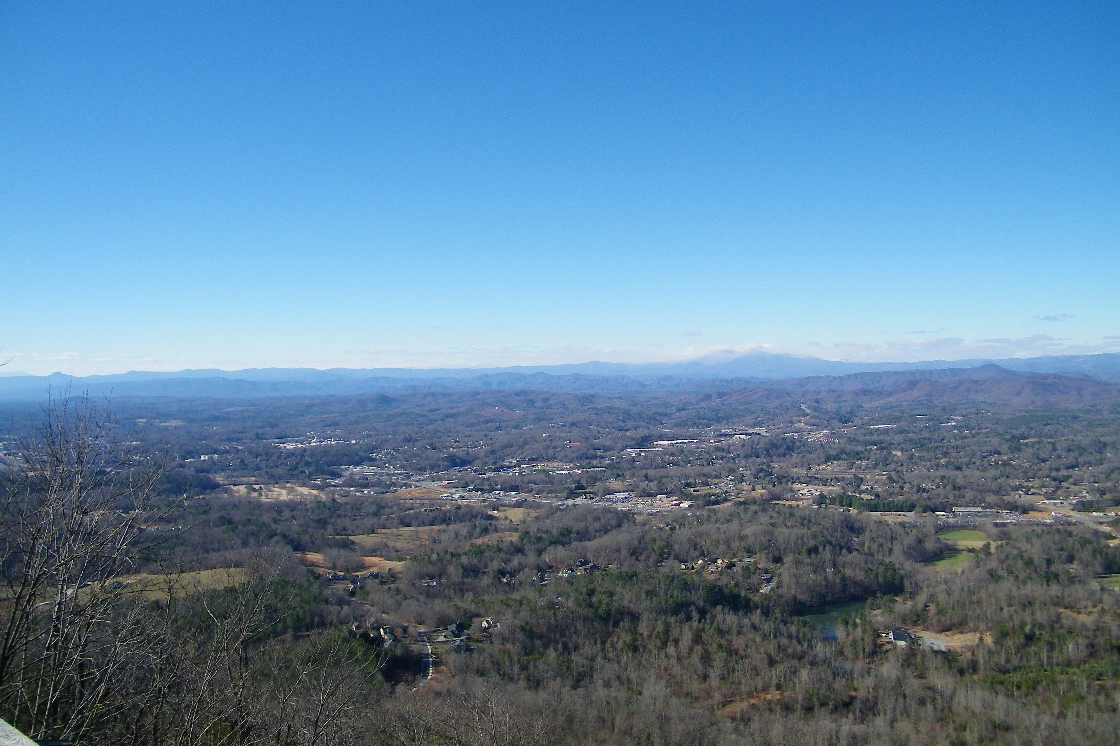
Hibriten Mountain

The view of the Blue Ridge Mountains just outside Blowing Rock NC.
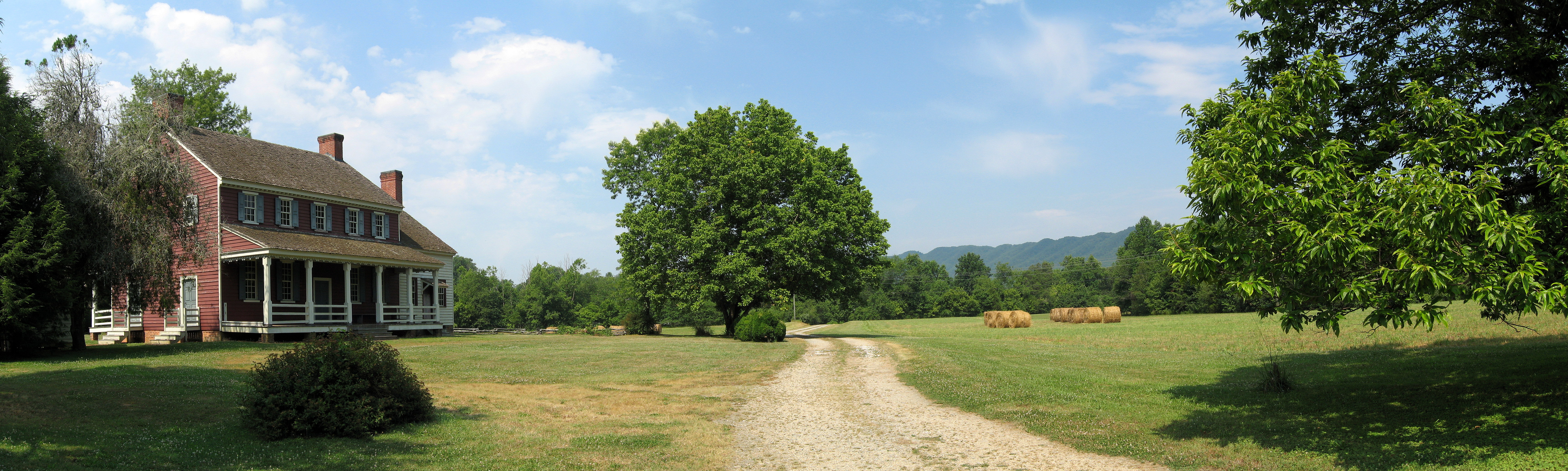
Fort Defiance
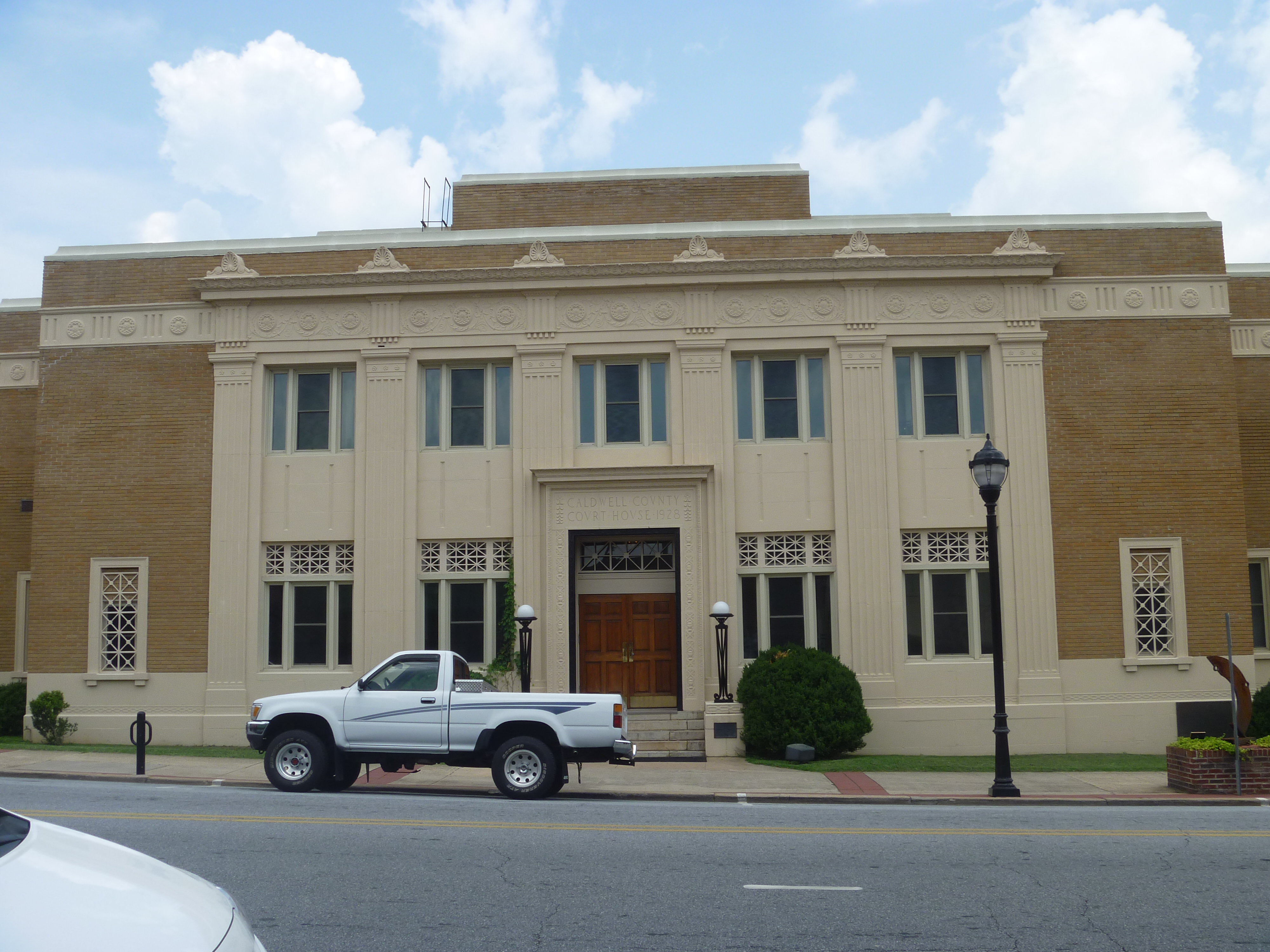
Front View, Caldwell County Courthouse
Watch Your Step! 262/365

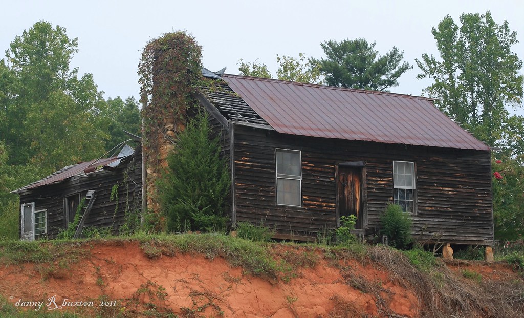
Wasting away...
warmer weather is always welcome!!!

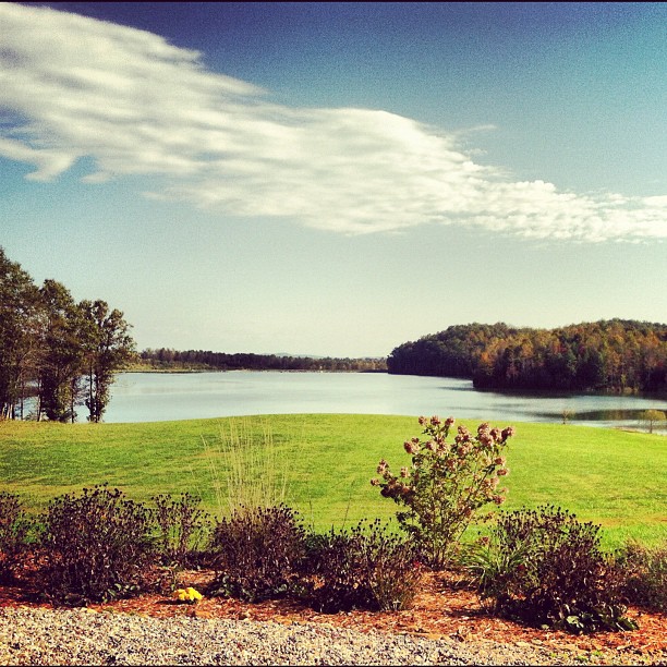
Mountain Meadow
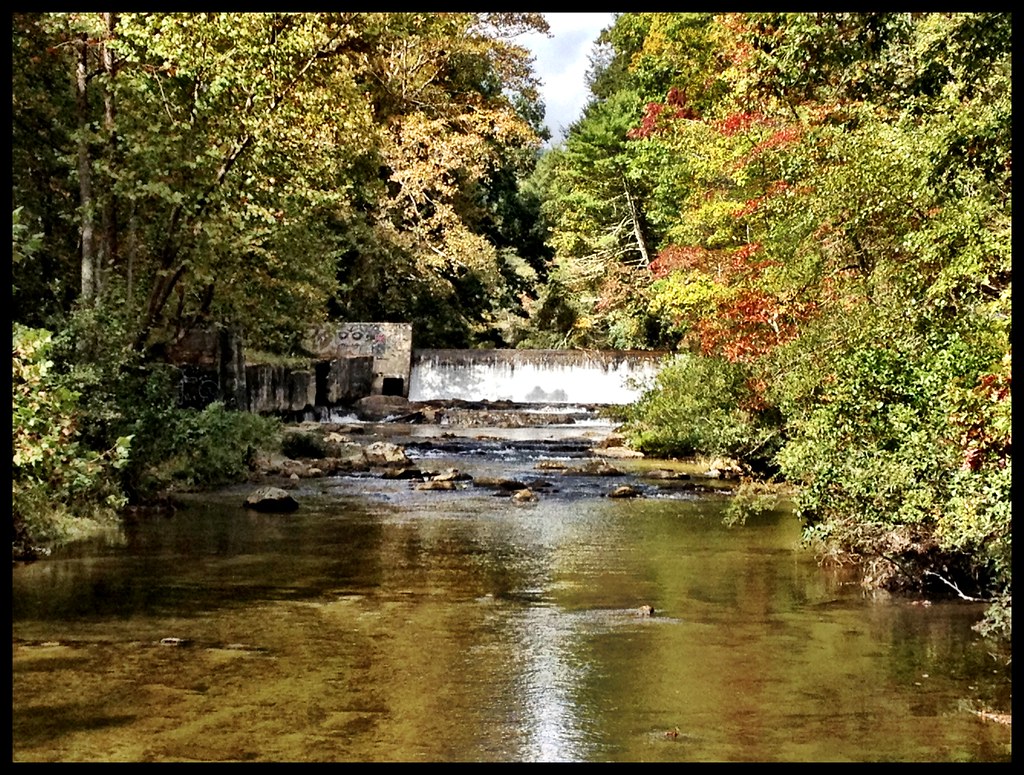
Crystal Falls
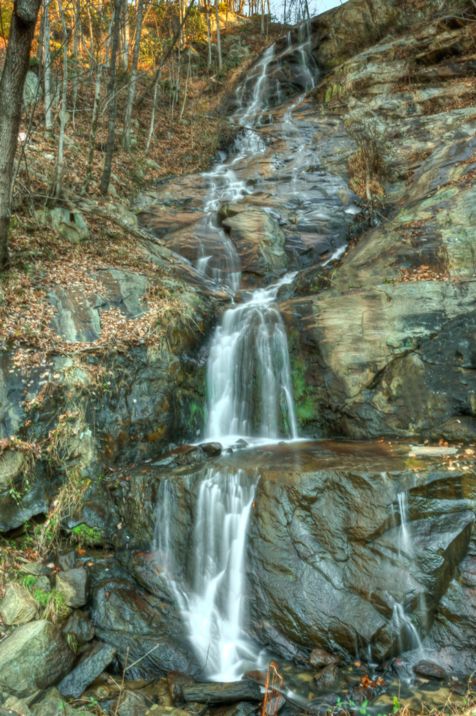
Silvervale Falls

Stoney Fork Overlook
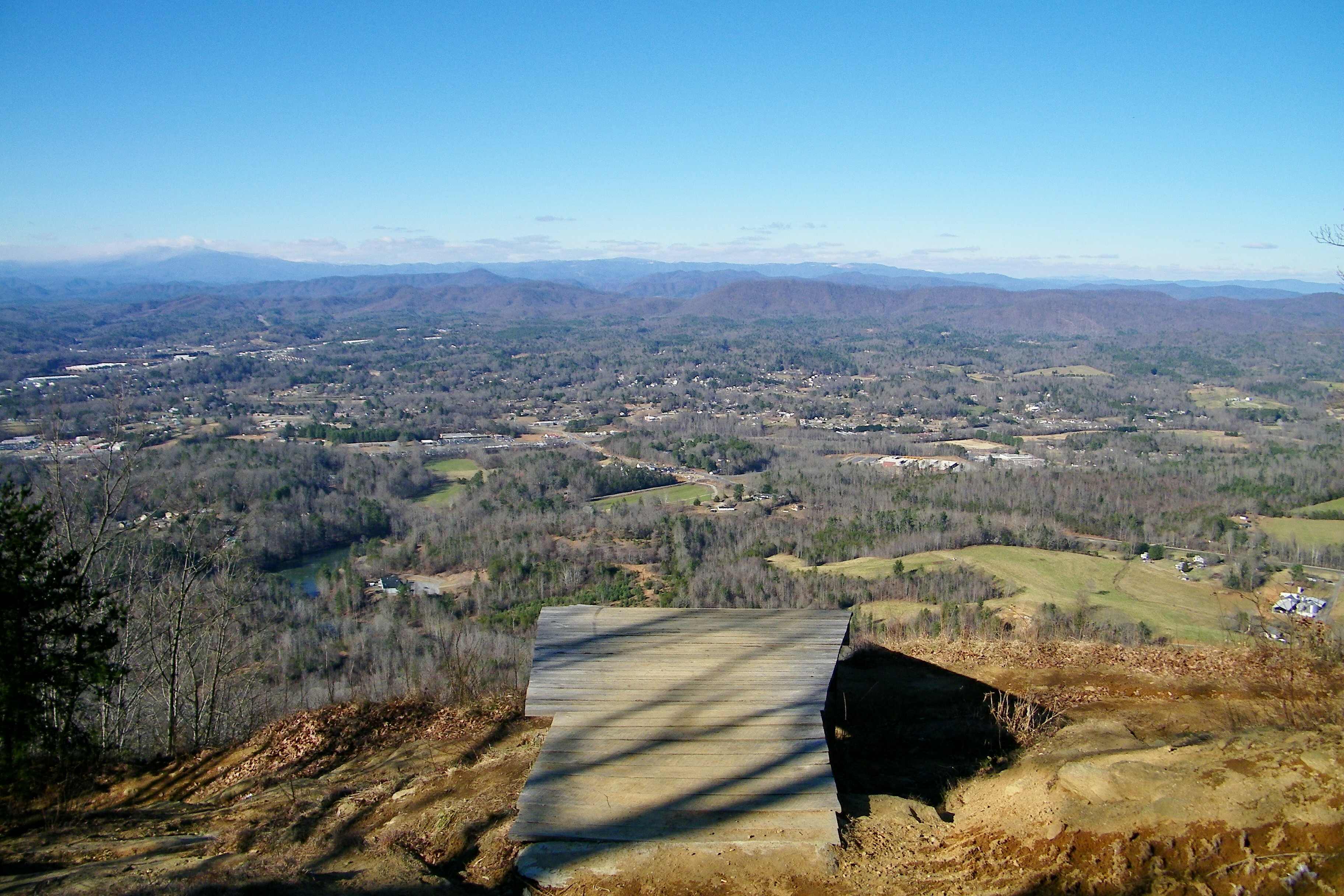
Hibriten Mountain
Topographic Map of NC-, Lenoir, NC, USA
Find elevation by address:

Places near NC-, Lenoir, NC, USA:
3264 Nc-268
2725 Winkler Way Rd
6640 Kendell-town Rd
6891 Elk Mountain Ln
6891 Elk Mountain Ln
Taylor Farm Rd, Lenoir, NC, USA
Buffalo Cove Road
296 Grannys Ln
Elk Creek Darby Road
Elk Creek Darby Road
Elk Creek Darby Road
Elk Creek Darby Road
3551 Elk Creek Darby Rd
5911 Buffalo Mountain Rd
6090 Buffalo Mountain Rd
1765 Cool Springs Pl
6150 Buffalo Cove Rd
1759 Cool Springs Pl
5742 Elk Creek Darby Rd
Tom Dula Road
Recent Searches:
- Elevation of Pasing, Munich, Bavaria, 81241, Germany
- Elevation of 24, Auburn Bay Crescent SE, Auburn Bay, Calgary, Alberta, T3M 0A6, Canada
- Elevation of Denver, 2314, Arapahoe Street, Five Points, Denver, Colorado, 80205, USA
- Elevation of Community of the Beatitudes, 2924, West 43rd Avenue, Sunnyside, Denver, Colorado, 80211, USA
- Elevation map of Litang County, Sichuan, China
- Elevation map of Madoi County, Qinghai, China
- Elevation of 3314, Ohio State Route 114, Payne, Paulding County, Ohio, 45880, USA
- Elevation of Sarahills Drive, Saratoga, Santa Clara County, California, 95070, USA
- Elevation of Town of Bombay, Franklin County, New York, USA
- Elevation of 9, Convent Lane, Center Moriches, Suffolk County, New York, 11934, USA
- Elevation of Saint Angelas Convent, 9, Convent Lane, Center Moriches, Suffolk County, New York, 11934, USA
- Elevation of 131st Street Southwest, Mukilteo, Snohomish County, Washington, 98275, USA
- Elevation of 304, Harrison Road, Naples, Cumberland County, Maine, 04055, USA
- Elevation of 2362, Timber Ridge Road, Harrisburg, Cabarrus County, North Carolina, 28075, USA
- Elevation of Ridge Road, Marshalltown, Marshall County, Iowa, 50158, USA
- Elevation of 2459, Misty Shadows Drive, Pigeon Forge, Sevier County, Tennessee, 37862, USA
- Elevation of 8043, Brightwater Way, Spring Hill, Williamson County, Tennessee, 37179, USA
- Elevation of Starkweather Road, San Luis, Costilla County, Colorado, 81152, USA
- Elevation of 5277, Woodside Drive, Baton Rouge, East Baton Rouge Parish, Louisiana, 70808, USA
- Elevation of 1139, Curtin Street, Shepherd Park Plaza, Houston, Harris County, Texas, 77018, USA