Elevation of NC-, Ferguson, NC, USA
Location: United States > North Carolina > Caldwell County > Yadkin Valley >
Longitude: -81.463568
Latitude: 36.045841
Elevation: 380m / 1247feet
Barometric Pressure: 97KPa
Elevation Map:
Satellite Map:
Related Photos:
The view of the Blue Ridge Mountains just outside Blowing Rock NC.
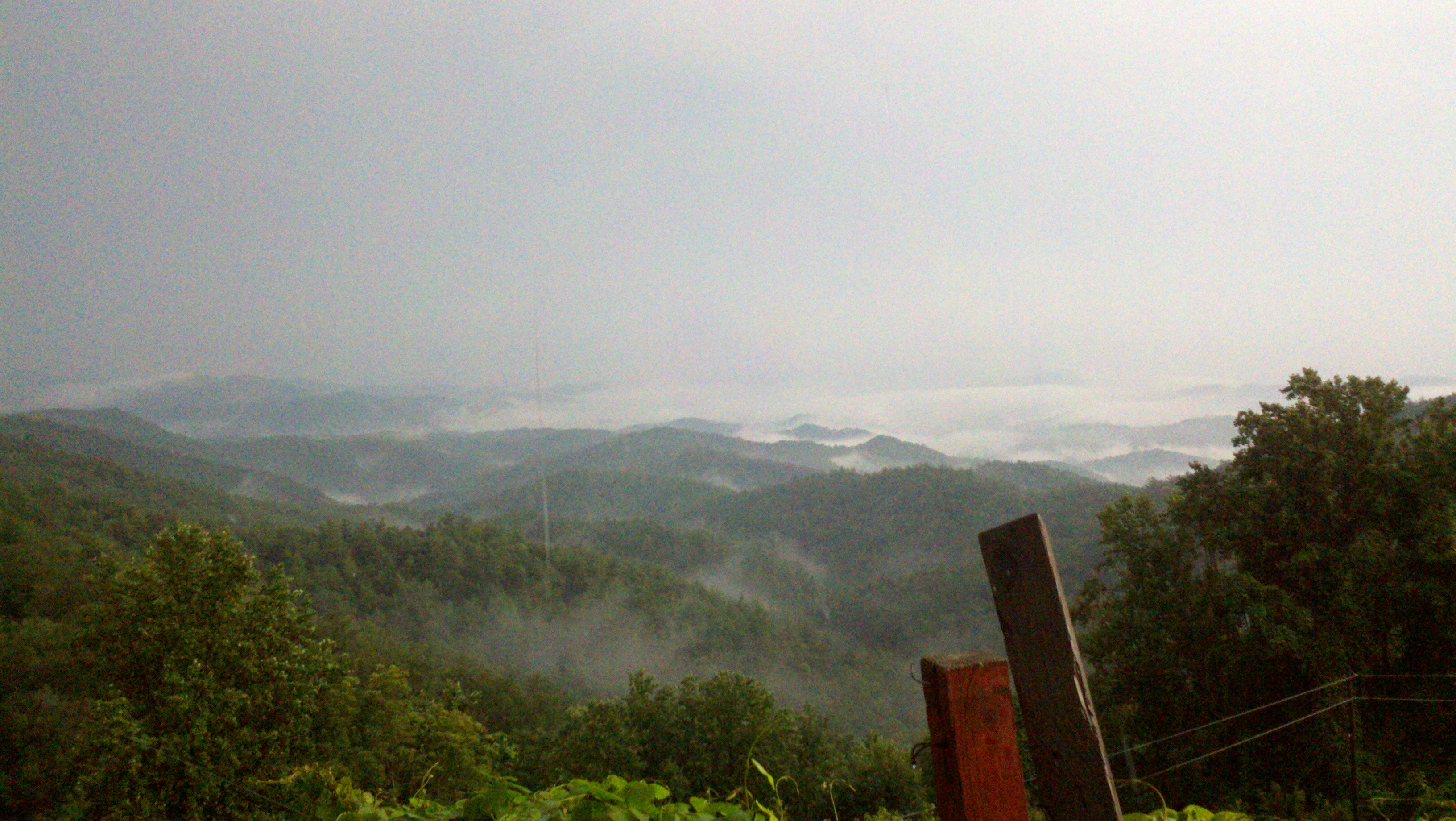
view after a 20 minute up hill hike.
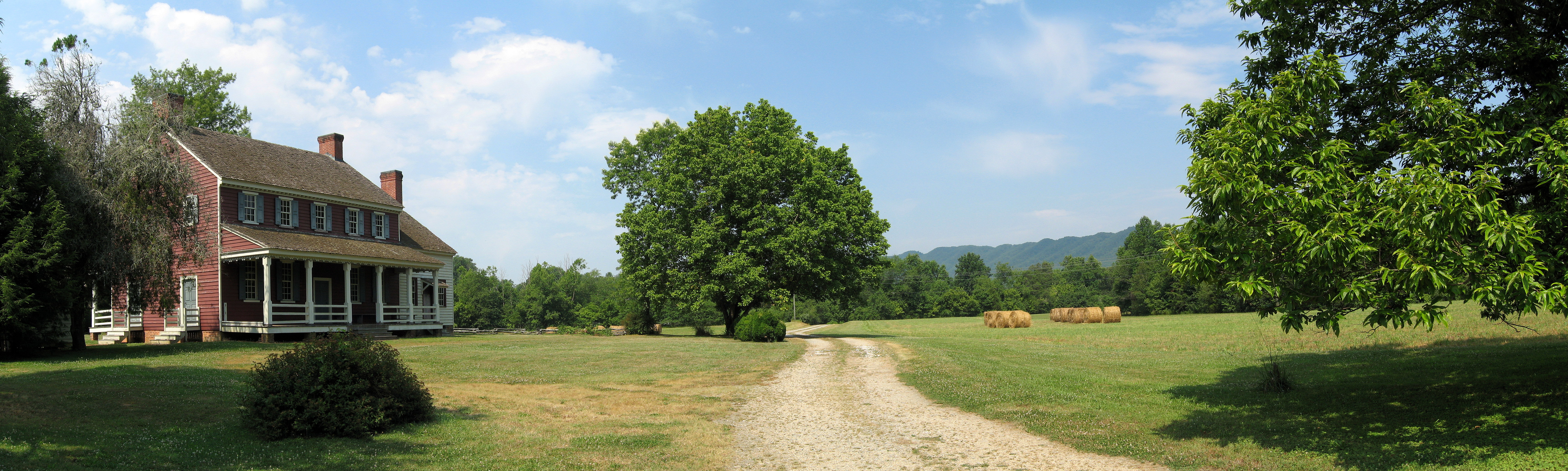
Fort Defiance
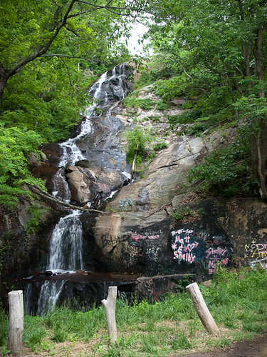
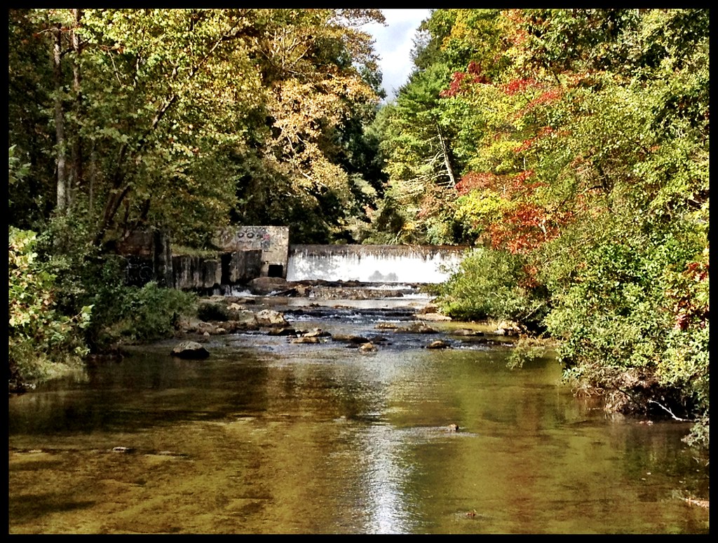
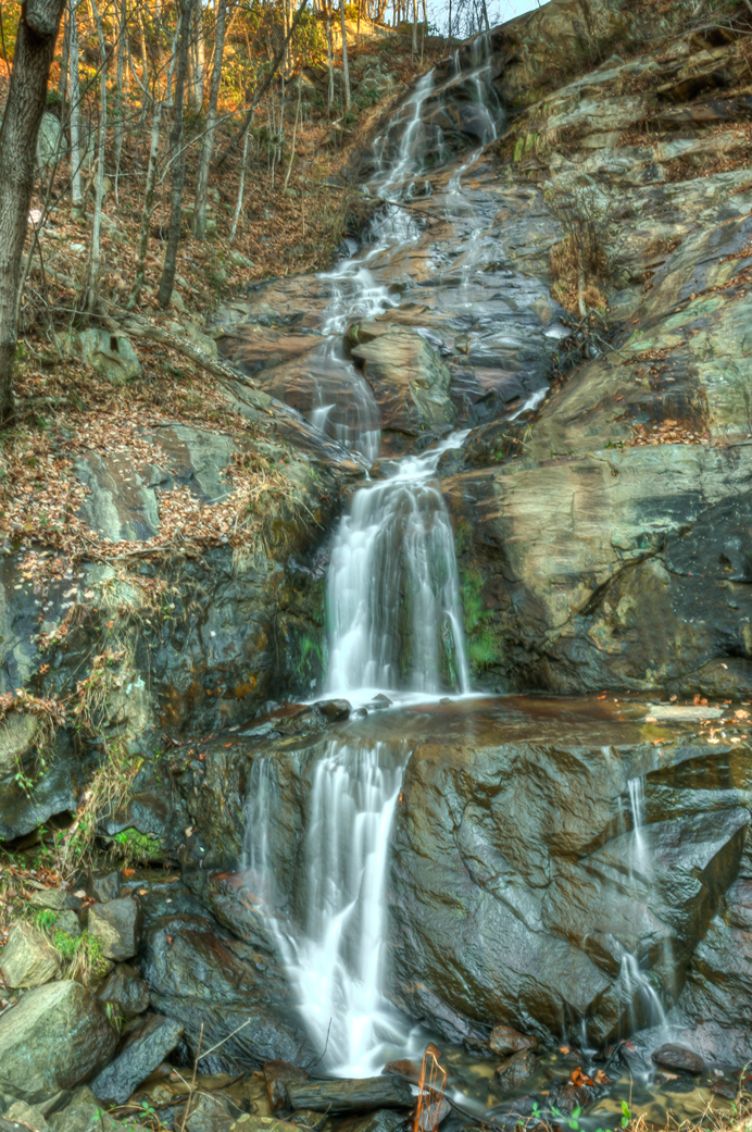
Waterfall Road waterfall - Part 2
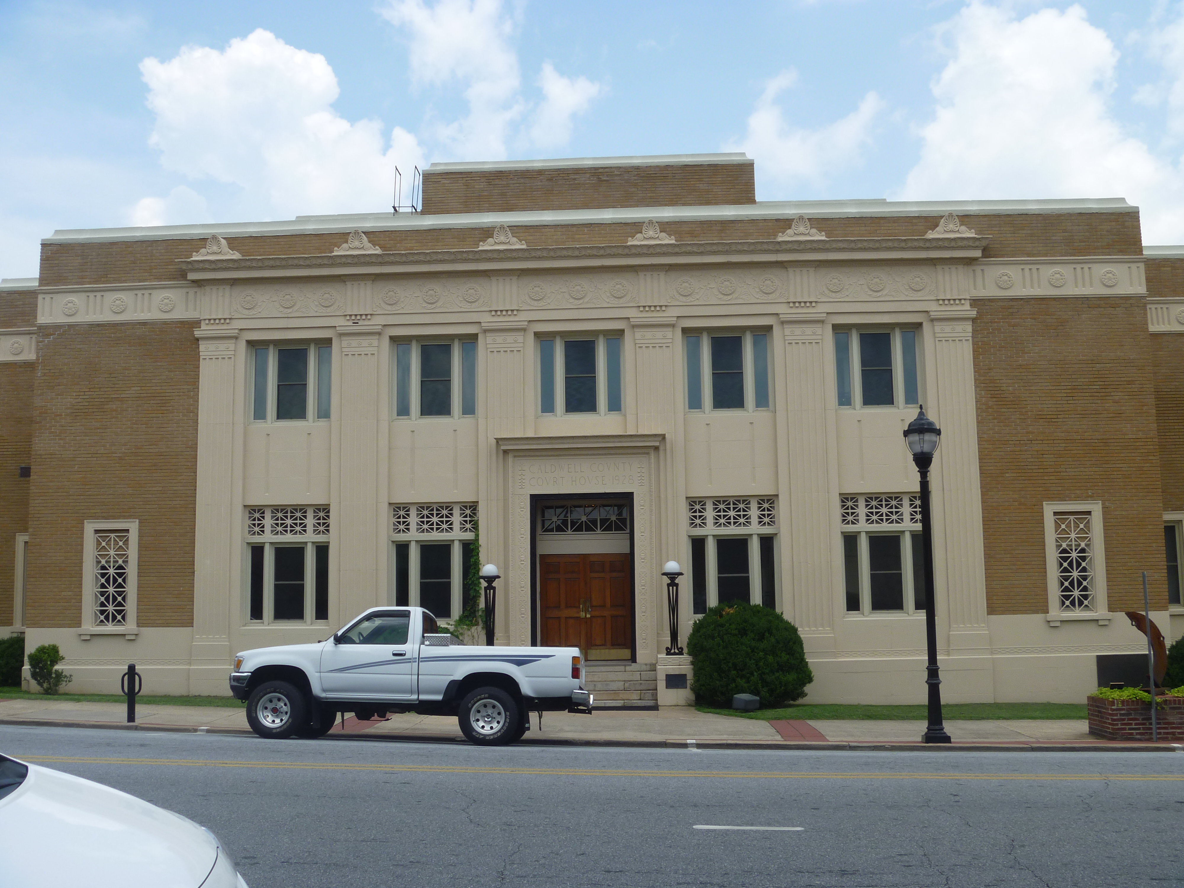
Front View, Caldwell County Courthouse
warmer weather is always welcome!!!
Crystal Falls
Watch Your Step! 262/365
Silvervale Falls

tgiving-20081128-h1606a

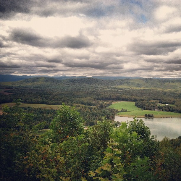
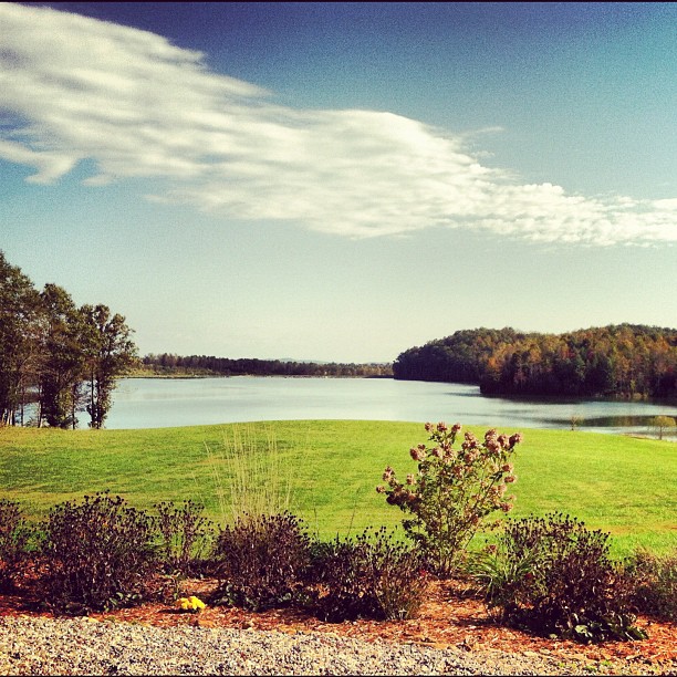
Stoney Fork Overlook

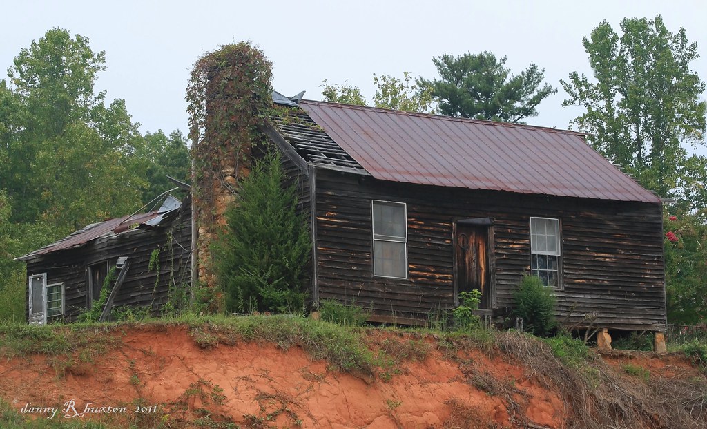
Wasting away...
Topographic Map of NC-, Ferguson, NC, USA
Find elevation by address:

Places near NC-, Ferguson, NC, USA:
3264 Nc-268
2725 Winkler Way Rd
6640 Kendell-town Rd
6891 Elk Mountain Ln
6891 Elk Mountain Ln
Taylor Farm Rd, Lenoir, NC, USA
Buffalo Cove Road
296 Grannys Ln
Elk Creek Darby Road
Elk Creek Darby Road
Elk Creek Darby Road
Elk Creek Darby Road
3551 Elk Creek Darby Rd
5911 Buffalo Mountain Rd
6090 Buffalo Mountain Rd
1765 Cool Springs Pl
6150 Buffalo Cove Rd
1759 Cool Springs Pl
5742 Elk Creek Darby Rd
Tom Dula Road
Recent Searches:
- Elevation of Corso Fratelli Cairoli, 35, Macerata MC, Italy
- Elevation of Tallevast Rd, Sarasota, FL, USA
- Elevation of 4th St E, Sonoma, CA, USA
- Elevation of Black Hollow Rd, Pennsdale, PA, USA
- Elevation of Oakland Ave, Williamsport, PA, USA
- Elevation of Pedrógão Grande, Portugal
- Elevation of Klee Dr, Martinsburg, WV, USA
- Elevation of Via Roma, Pieranica CR, Italy
- Elevation of Tavkvetili Mountain, Georgia
- Elevation of Hartfords Bluff Cir, Mt Pleasant, SC, USA