Elevation of Navigators Way, Grand Junction, CO, USA
Location: United States > Colorado > Mesa County > Grand Junction >
Longitude: -108.52541
Latitude: 39.1168022
Elevation: 1467m / 4813feet
Barometric Pressure: 85KPa
Elevation Map:
Satellite Map:
Related Photos:
The end of Serpent's trail
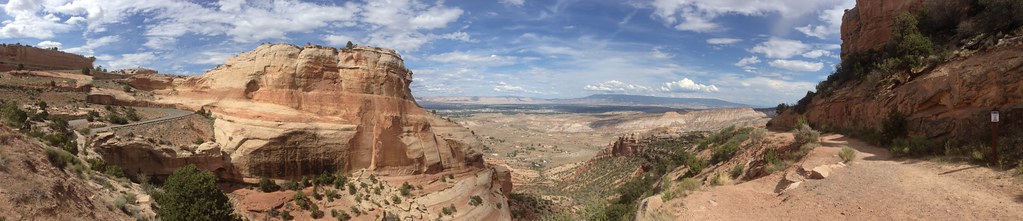
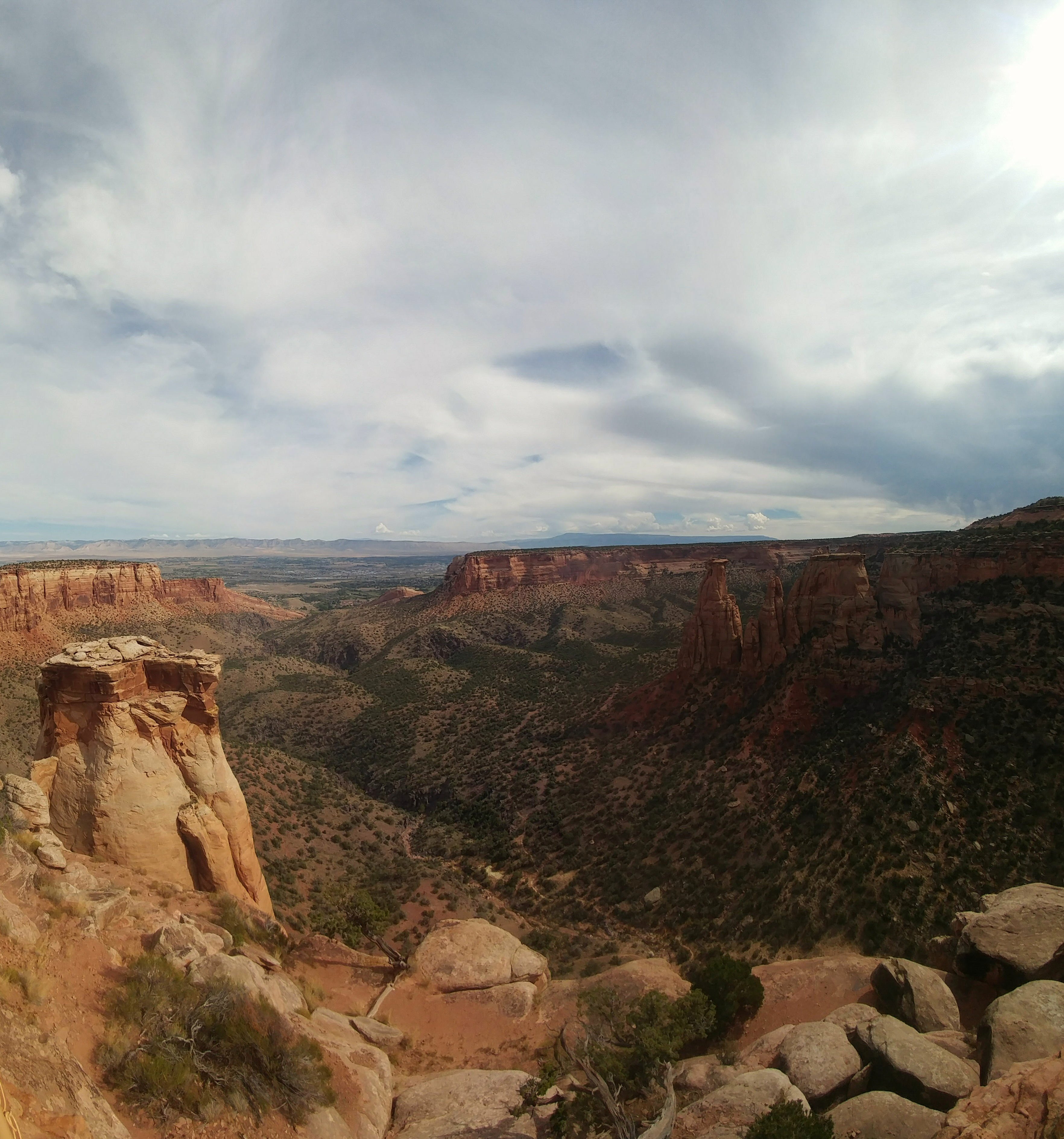
Colorado National Monument - View From Cold Shivers Point
Colorado National Monument - View From Cold Shivers Point

The rotunda in the "Silver Sky"

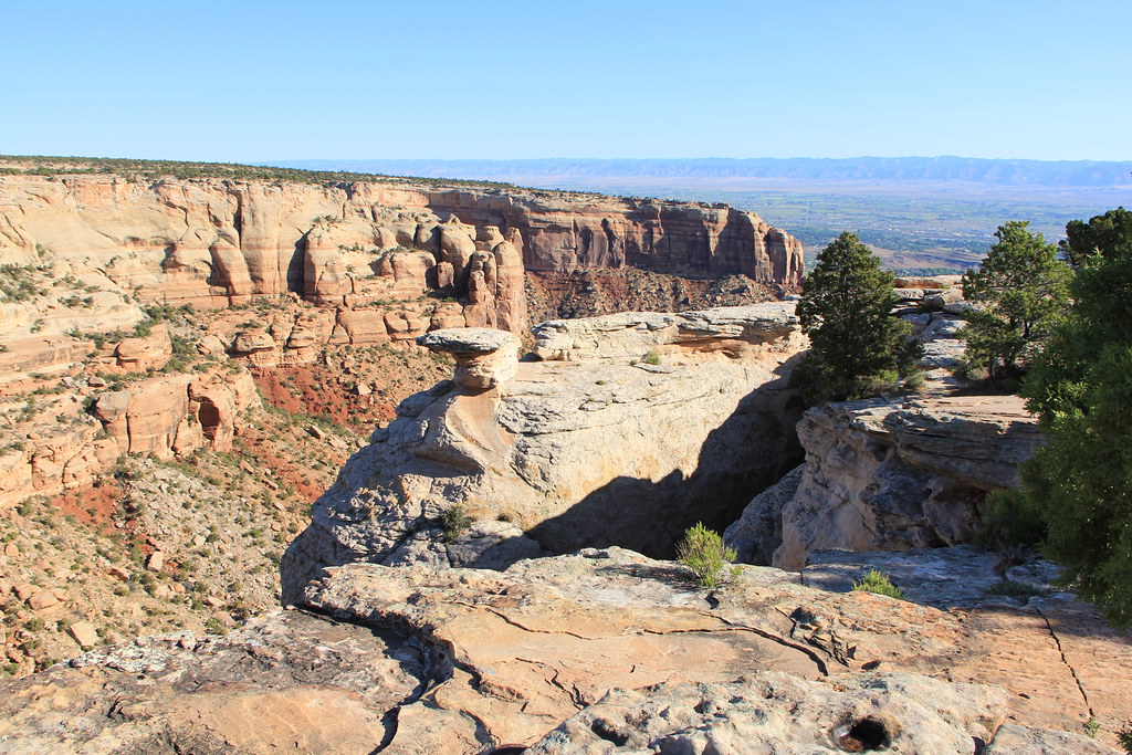
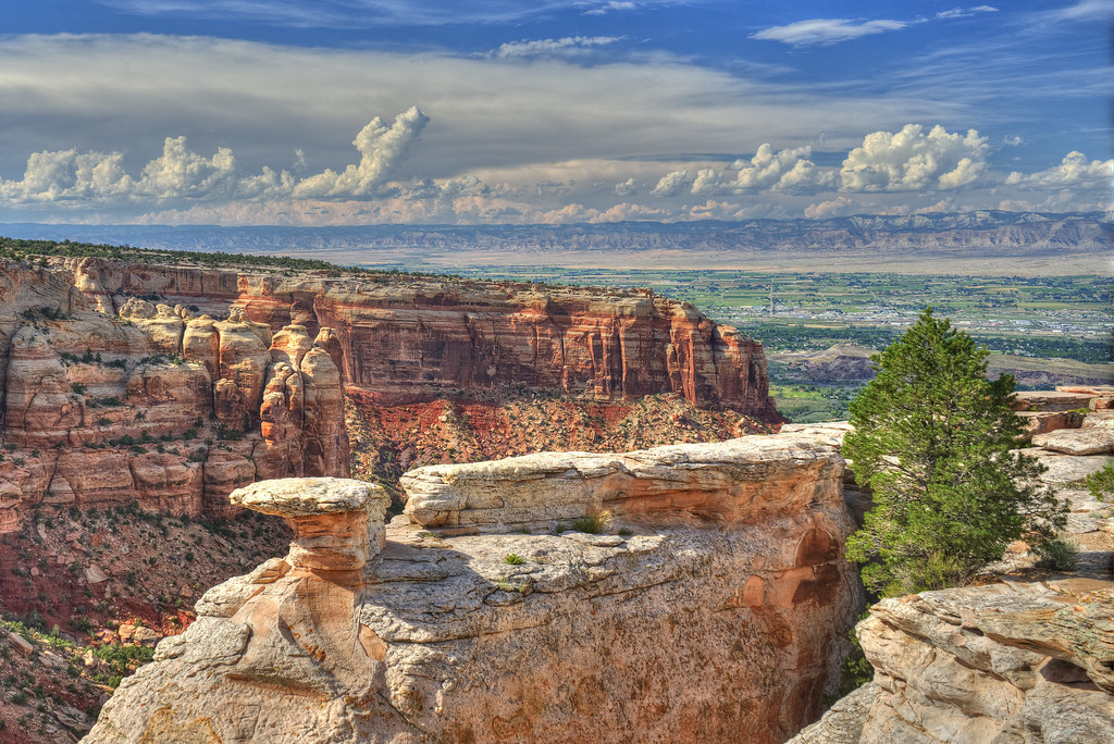
Colorado National Monument View

Colorado Monument 02 Fcopy

The Valley Below (the Colorado National Monument) (DTA_5147)
Colorado National Monument - View From Cold Shivers Point

#Scenic #View from #Serpents #Trail (once called the crookedest road in the world because of its 20 switchbacks) (converted to a hiking trail in 1961) (#Colorado #National #Monument)
luxury of space

View from bathroom
2012-07-11 09.34.50

Views from the Wine Country Inn in Palisade
Palisade Pano
The Dragon's face

Colorado National Monument Through The Windshield

I AM NOT THERE
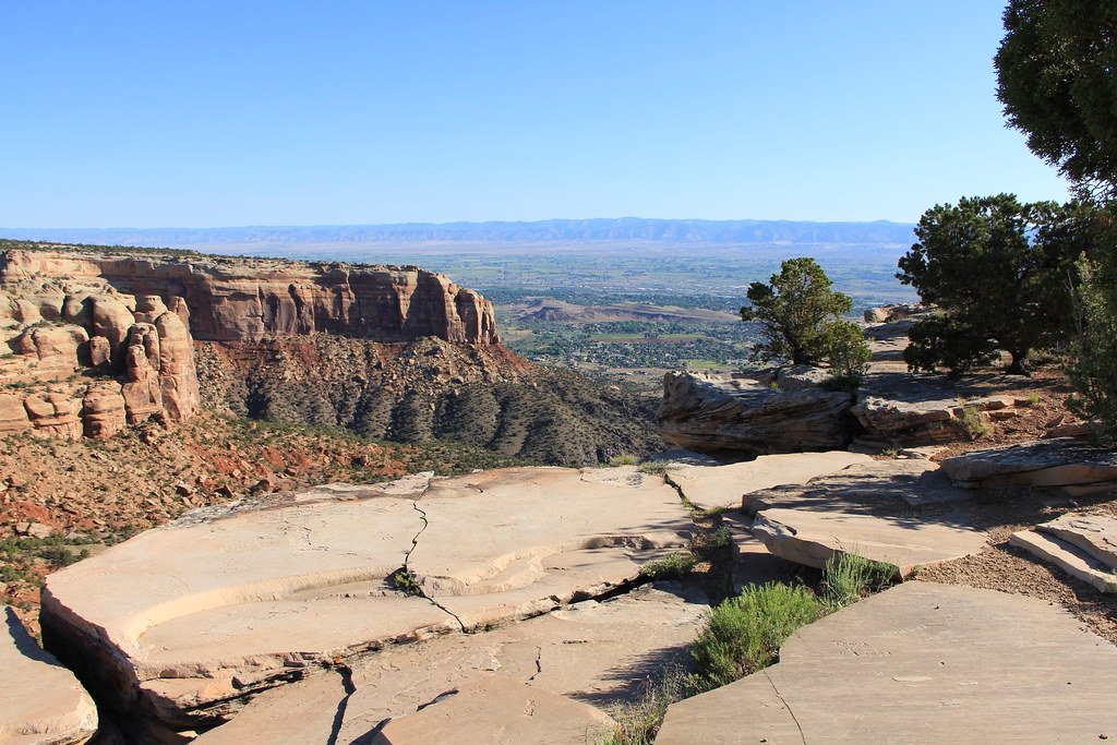
Colorado National Monument
2.8
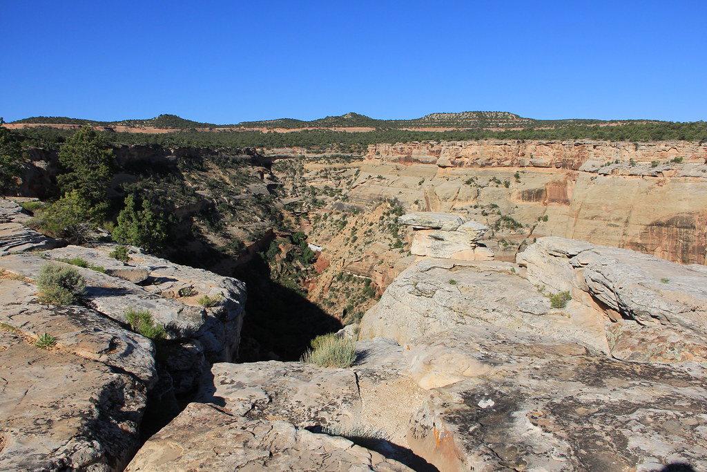
Colorado National Monument - Layers

Monsoons passing through Mesa County #COwx #GJCO #Colorado
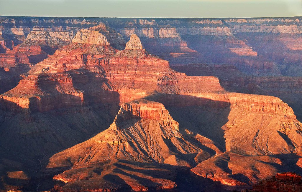
Evening Glow at Grand Canyon in Arizona
Top of the Serpent's Trail

The Road Down

6tag_051013-190632

The Blue Angels

6tag_051013-190632

Severe storm over the Grand Mesa yesterday afternoon #COwx #GJCO

Looking Towards the Bookcliffs
Grand Valley of western Colorado

6tag_051013-190353

Hiking the Ute Petroglyphs // Palisade Rim Tail #GJCO #XperiaZ
Topographic Map of Navigators Way, Grand Junction, CO, USA
Find elevation by address:

Places near Navigators Way, Grand Junction, CO, USA:
Mcinnis Canyons Nca
Grand Junction Regional Airport
Grand Vista Hotel
2788 Printers Ct
Doubletree By Hilton Hotel Grand Junction
585 N Grand Falls Ct
2980 Bret Dr
121 Mantey Heights Dr
682 30 Rd
682 30 Rd
3735 Horizon Glen Ct
2954 Cedar Pl
28 1/2 Road
1721 N 20th St
2665 I Rd
F Rd, Grand Junction, CO, USA
636 Horizon Dr
2636 H Rd
Hill Avenue
G Road
Recent Searches:
- Elevation of Corso Fratelli Cairoli, 35, Macerata MC, Italy
- Elevation of Tallevast Rd, Sarasota, FL, USA
- Elevation of 4th St E, Sonoma, CA, USA
- Elevation of Black Hollow Rd, Pennsdale, PA, USA
- Elevation of Oakland Ave, Williamsport, PA, USA
- Elevation of Pedrógão Grande, Portugal
- Elevation of Klee Dr, Martinsburg, WV, USA
- Elevation of Via Roma, Pieranica CR, Italy
- Elevation of Tavkvetili Mountain, Georgia
- Elevation of Hartfords Bluff Cir, Mt Pleasant, SC, USA