Elevation of Mantey Heights Dr, Grand Junction, CO, USA
Location: United States > Colorado > Mesa County > Grand Junction >
Longitude: -108.53523
Latitude: 39.0888269
Elevation: 1446m / 4744feet
Barometric Pressure: 85KPa
Elevation Map:
Satellite Map:
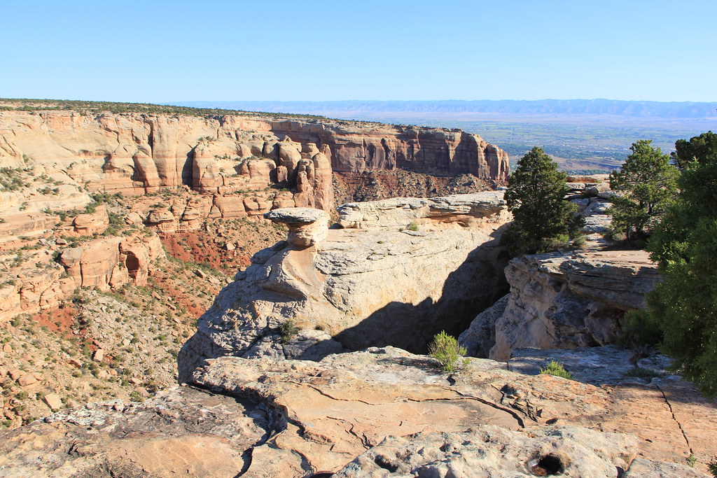
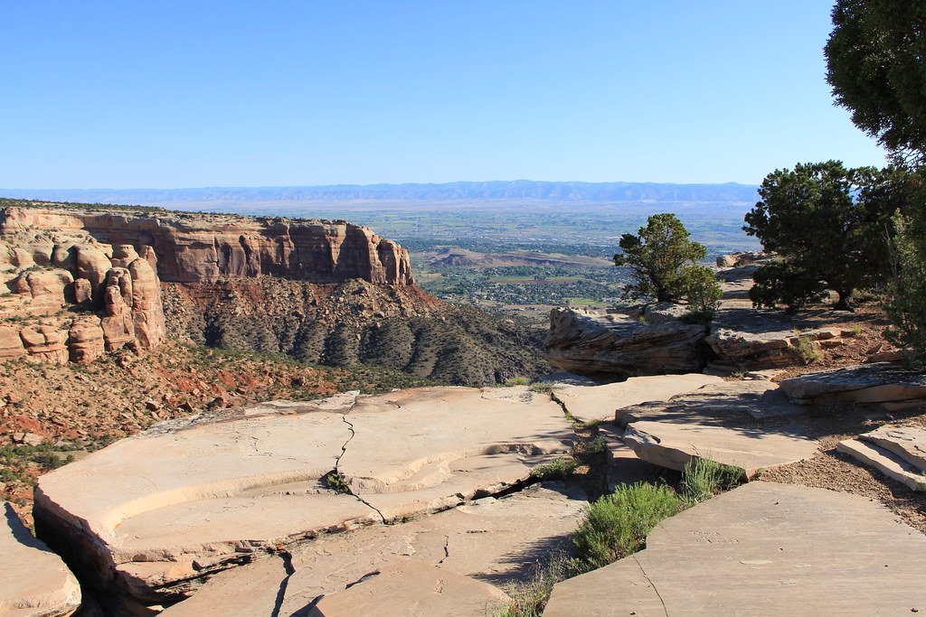
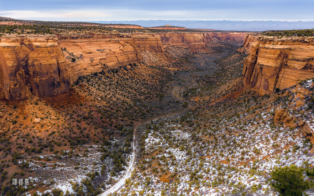
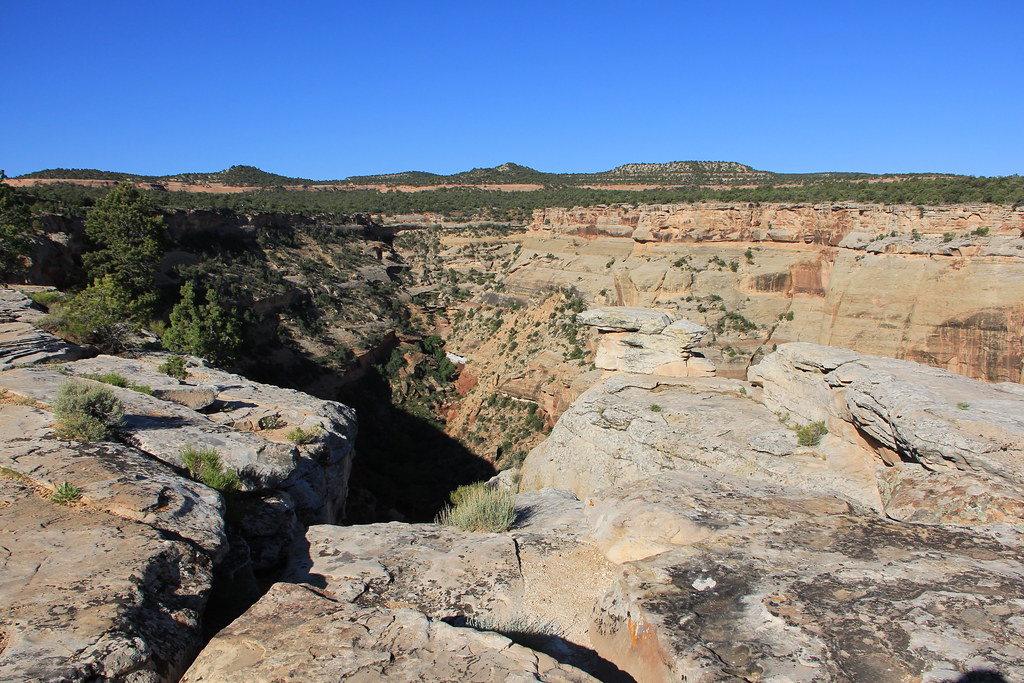
Related Photos:

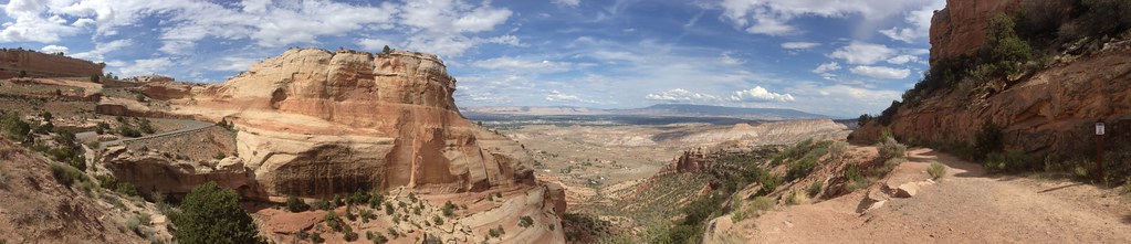
Such A View

Sunset at Colorado National Monument
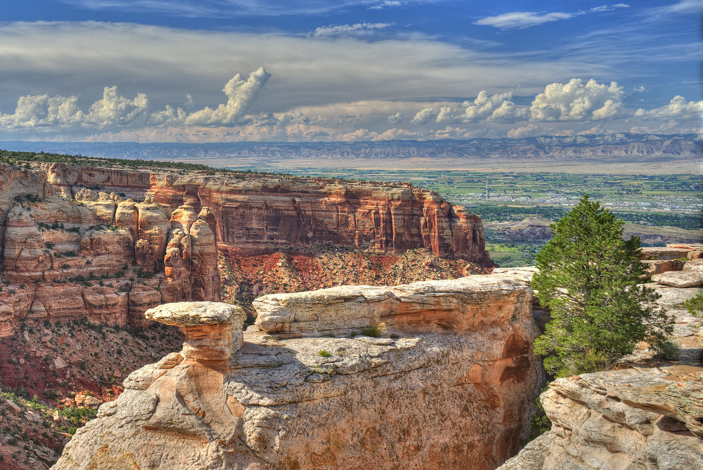
Colorado National Monument - View From Cold Shivers Point
Colorado National Monument - View From Cold Shivers Point

The rotunda in the "Silver Sky"
The Journey Begins

Colorado National Monument View

Colorado Monument 02 Fcopy

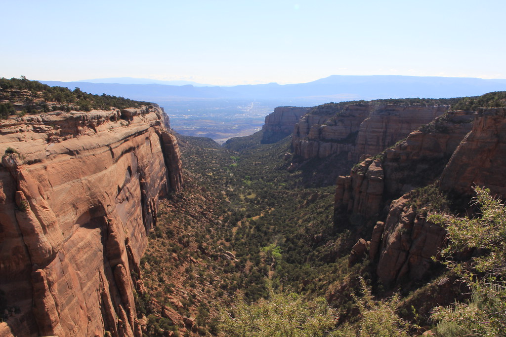
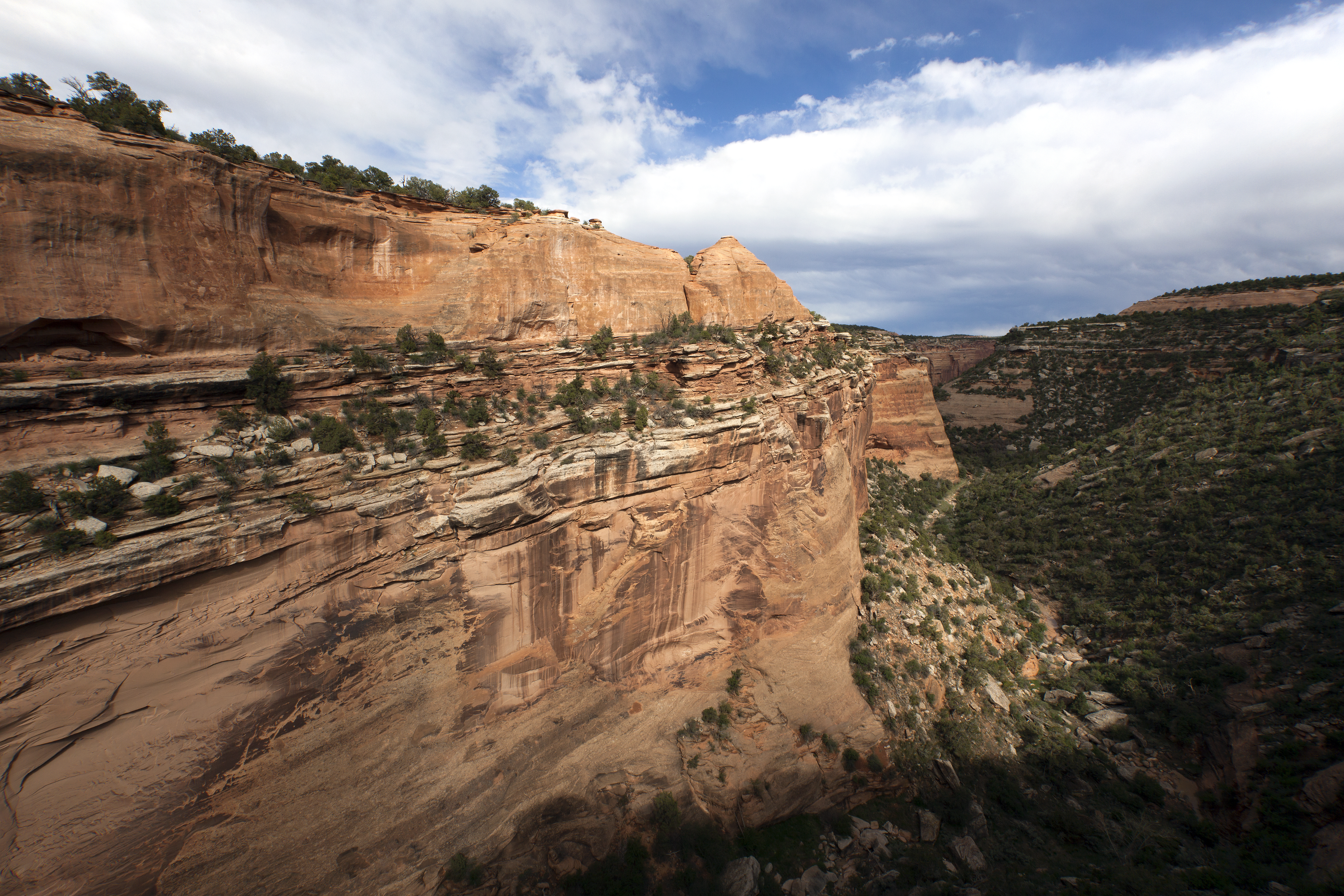
Monument Canyon View

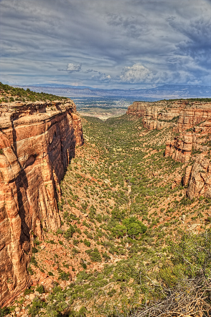
The Valley Below (the Colorado National Monument) (DTA_5147)
Colorado National Monument - View From Cold Shivers Point

#Scenic #View from #Serpents #Trail (once called the crookedest road in the world because of its 20 switchbacks) (converted to a hiking trail in 1961) (#Colorado #National #Monument)
The end of Serpent's trail
luxury of space

View from bathroom
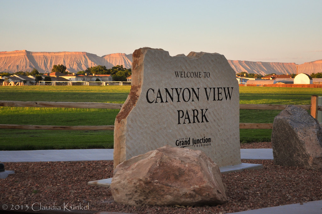
Trip to Grand Junction 040
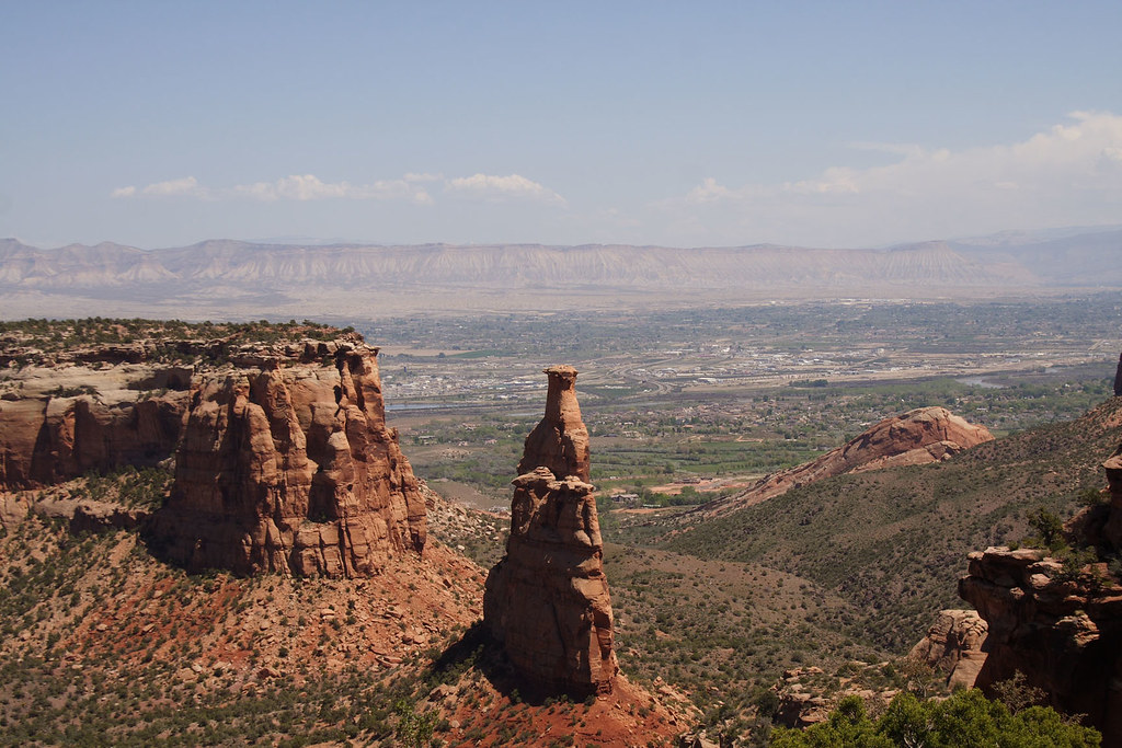
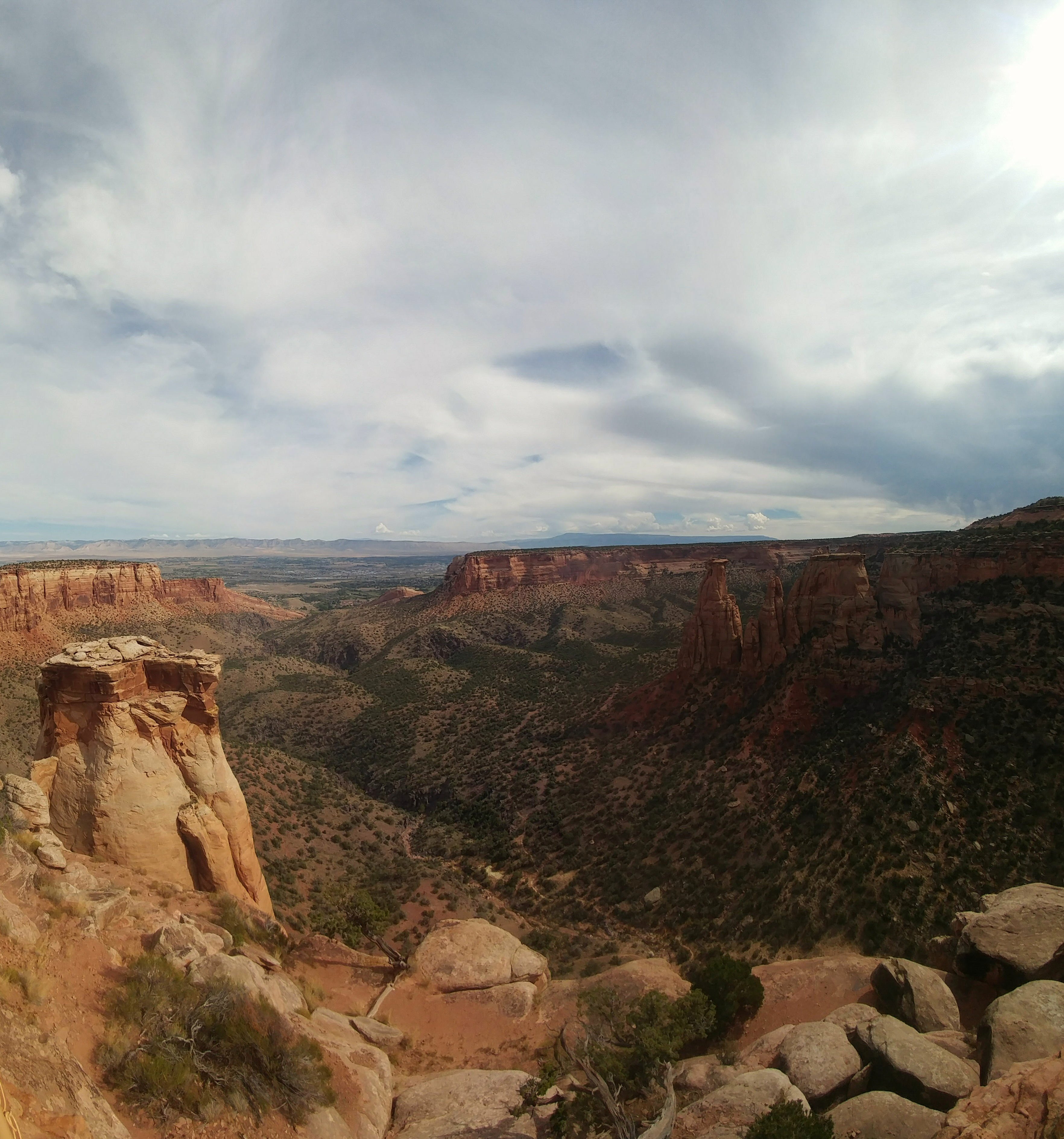
Independence Monument view
Valley View
2012-07-11 09.34.50
Colorado National Monument - View From Red Canyon Overlook

Views from the Wine Country Inn in Palisade

I AM NOT THERE

Colorado National Monument
Colorado National Monument
2.8
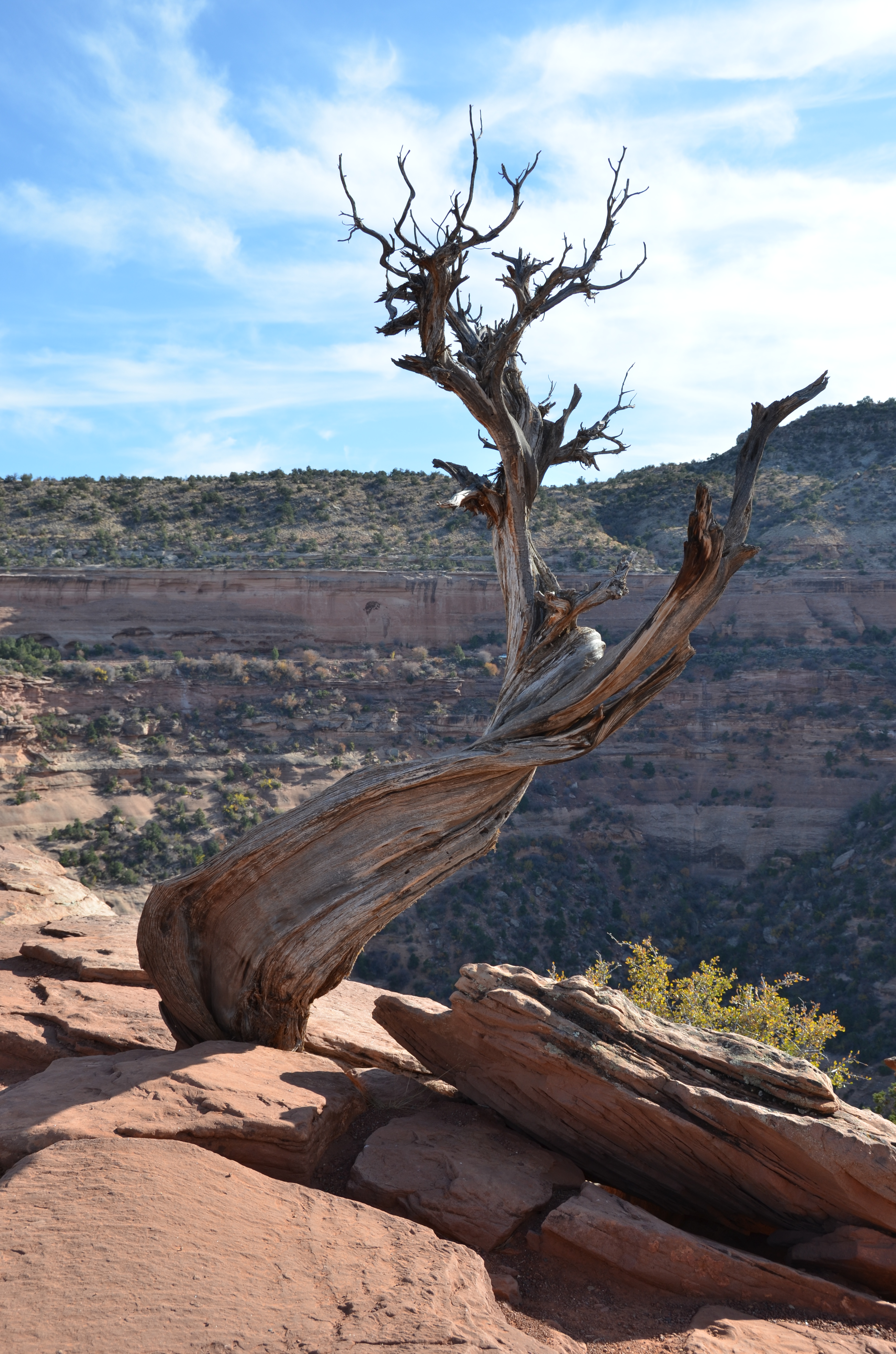
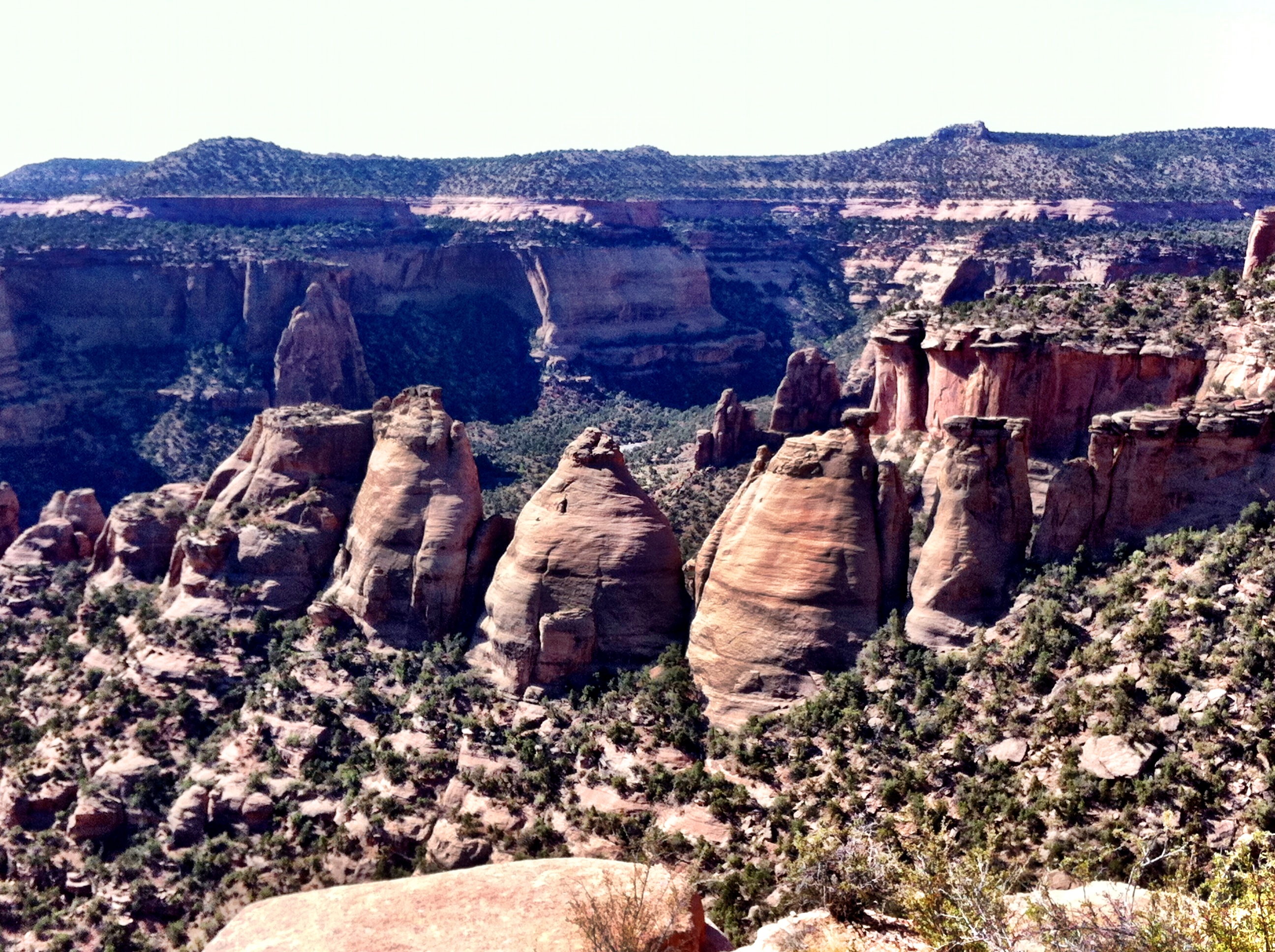
Colorado National Monument - Layers
Ute Canyon

Monsoons passing through Mesa County #COwx #GJCO #Colorado
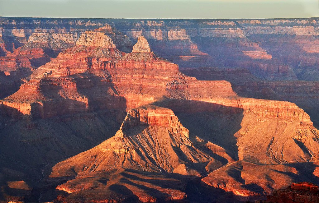
Evening Glow at Grand Canyon in Arizona
Top of the Serpent's Trail

The Road Down

6tag_051013-190632

The Blue Angels
Independence Monument

6tag_051013-190632

Severe storm over the Grand Mesa yesterday afternoon #COwx #GJCO
Red Canyon Sunset

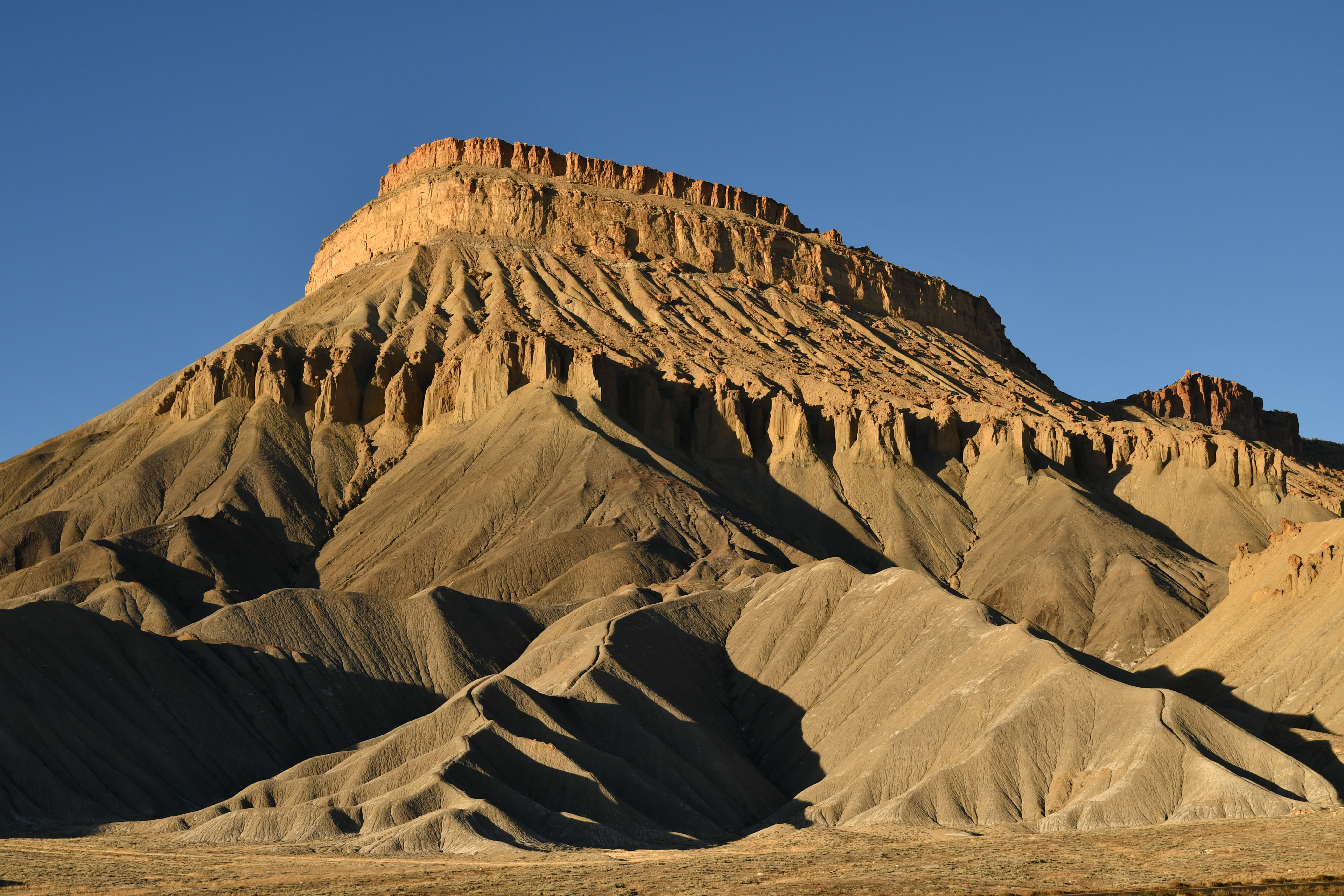
Looking Towards the Bookcliffs
Grand Valley of western Colorado
Topographic Map of Mantey Heights Dr, Grand Junction, CO, USA
Find elevation by address:

Places near Mantey Heights Dr, Grand Junction, CO, USA:
585 N Grand Falls Ct
1721 N 20th St
28 1/2 Road
1240 N 15th St
2138 Gunnison Ave
Hill Avenue
Colorado Mesa University
Grand Junction, CO, USA
636 Horizon Dr
3735 Horizon Glen Ct
Doubletree By Hilton Hotel Grand Junction
Grand Vista Hotel
2788 Printers Ct
Grand Junction
Mcinnis Canyons Nca
2217 Navigators Way
2954 Cedar Pl
300 Cedar Ct
Pitkin Avenue
Grand Junction Regional Airport
Recent Searches:
- Elevation of Corso Fratelli Cairoli, 35, Macerata MC, Italy
- Elevation of Tallevast Rd, Sarasota, FL, USA
- Elevation of 4th St E, Sonoma, CA, USA
- Elevation of Black Hollow Rd, Pennsdale, PA, USA
- Elevation of Oakland Ave, Williamsport, PA, USA
- Elevation of Pedrógão Grande, Portugal
- Elevation of Klee Dr, Martinsburg, WV, USA
- Elevation of Via Roma, Pieranica CR, Italy
- Elevation of Tavkvetili Mountain, Georgia
- Elevation of Hartfords Bluff Cir, Mt Pleasant, SC, USA