Elevation of Natomas Road, Natomas Rd, Elverta, CA, USA
Location: United States > California > Sacramento County > Elverta >
Longitude: -121.49617
Latitude: 38.7662147
Elevation: 12m / 39feet
Barometric Pressure: 101KPa
Elevation Map:
Satellite Map:
Related Photos:

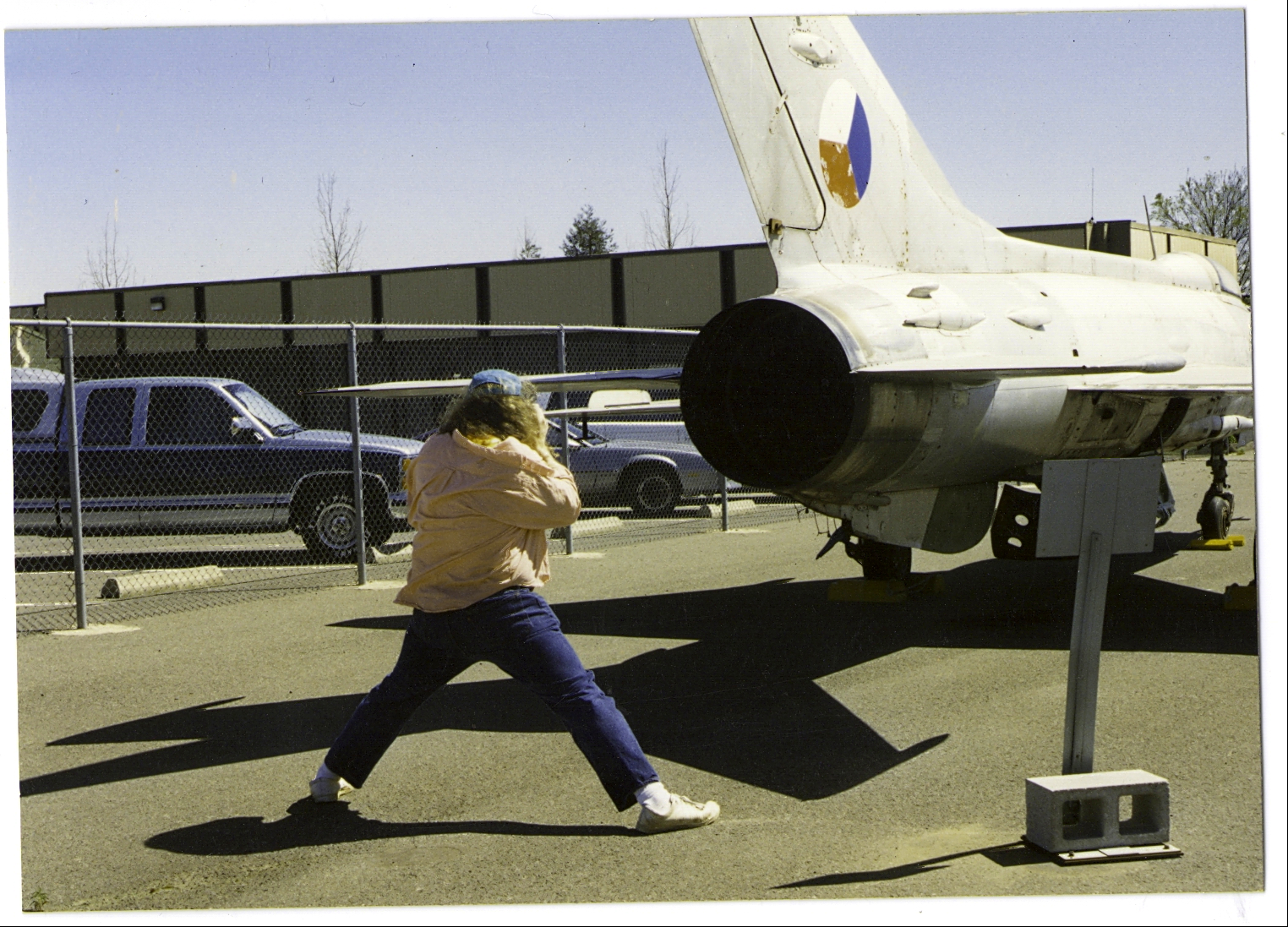
Curtiss Wright

F-106 Delta Dart

View from my office... #chillinwhereitsdry #lovethisweather #coolweatherhappyperson

Black and White

Back to the First

Purple Haze

Floodplain Farming: Fremont Weir, near Sacramento, California

terminal b - exterior
MiG-21, McClellan AFB, my batchelor party

Spider 1

It's All In The Light

Day 994: Sacramento_2220d

C-130 Hercules' @ McClellan

f-14 fuselage side view

Ford Focus review 1 of 7

K Photoshoot_3257

The Hunter
Interstate View of Natomas, after the storm (Sacramento County)

~ Water on Canna Lily Flower ~

Sacramento, Ca McClellan Park
Rio Linda, Ca :Reflections

COMING SOON!

Rice Country

Dark Sky over Mustard Field

Cotton the Act

In a sea of yellow

{when we put our minds to it, the sky is just the beginning }

Bert on the 17th. Going over water.
Undulations 9509

PERMA UNDK

Field of Depth - Foggy Days in the Agricultural Fields of the Central Valley, California
{your path is not shown by anyone, it's drawn by you, so follow your heart }

Airport Sunset

dsc6700-3555-post-1-dt-15.jpg

Life.

The sun sets . . .

Barn & Mustard
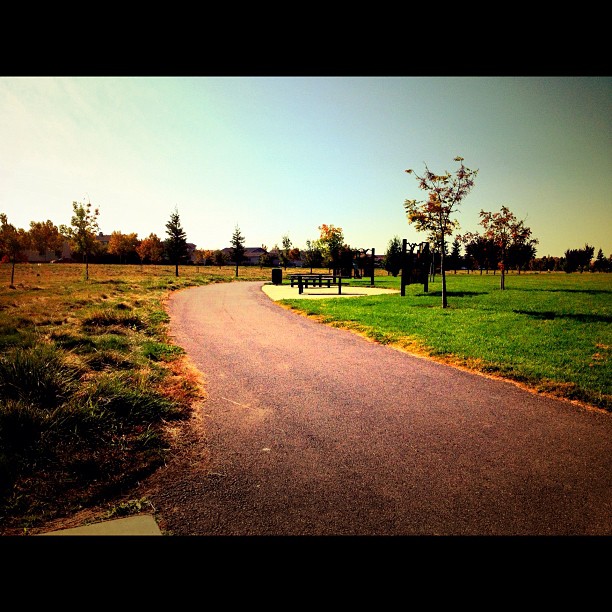
#naturetrail #walk
Antelope Sunset between storms
Topographic Map of Natomas Road, Natomas Rd, Elverta, CA, USA
Find elevation by address:

Places near Natomas Road, Natomas Rd, Elverta, CA, USA:
Natomas Rd, Elverta, CA, USA
Baseline Rd, Elverta, CA, USA
8901 Baseline Rd
8901 Baseline Rd
Pleasant Grove
Elverta
Elverta Rd, Elverta, CA, USA
W Elkhorn Blvd, Rio Linda, CA, USA
2750 Rockaway Ln
6136 W 6th St
2645 Ingleton Ln
Rio Linda
Catlett Rd, Pleasant Grove, CA, USA
6814 Radalyac Ct
Village 7
8330 Derringer Ct
Iceland Court
Gibson Meadows
8244 Manhart Dr
6652 Buckboard Dr
Recent Searches:
- Elevation of Corso Fratelli Cairoli, 35, Macerata MC, Italy
- Elevation of Tallevast Rd, Sarasota, FL, USA
- Elevation of 4th St E, Sonoma, CA, USA
- Elevation of Black Hollow Rd, Pennsdale, PA, USA
- Elevation of Oakland Ave, Williamsport, PA, USA
- Elevation of Pedrógão Grande, Portugal
- Elevation of Klee Dr, Martinsburg, WV, USA
- Elevation of Via Roma, Pieranica CR, Italy
- Elevation of Tavkvetili Mountain, Georgia
- Elevation of Hartfords Bluff Cir, Mt Pleasant, SC, USA