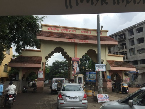
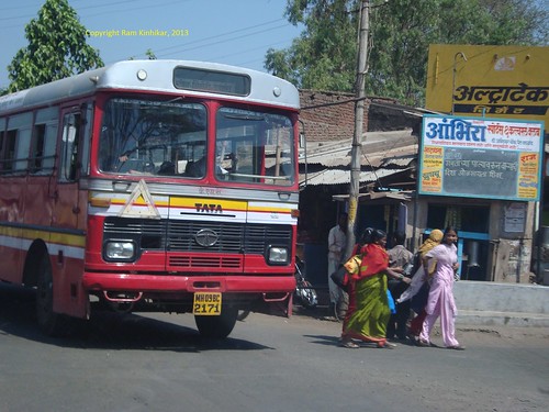
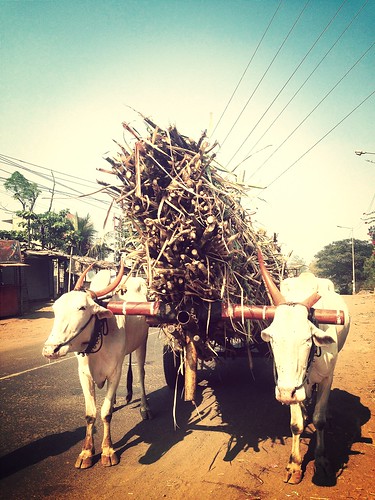
Elevation of Narande, Maharashtra, India
Location: India > Maharashtra > Kolhapur >
Longitude: 74.3953998
Latitude: 16.8194383
Elevation: 566m / 1857feet
Barometric Pressure: 95KPa
Related Photos:
Topographic Map of Narande, Maharashtra, India
Find elevation by address:

Places near Narande, Maharashtra, India:
Nej Gaon
Birdevwadi
Bhendwade
Khochi
Nej
Kumbhoj
Kapurwadi
Alate
Grampanchayat Latavade
Minche
Hingangaon
Kolhapur - Sangli Highway
Bhadole
Kavathesar
Mudshingi
Tasgaon
Atigre
Mangaonwadi
Shri Laxmi Co-op. Industrial Estate
Kavathe Piran
Recent Searches:
- Elevation of Corso Fratelli Cairoli, 35, Macerata MC, Italy
- Elevation of Tallevast Rd, Sarasota, FL, USA
- Elevation of 4th St E, Sonoma, CA, USA
- Elevation of Black Hollow Rd, Pennsdale, PA, USA
- Elevation of Oakland Ave, Williamsport, PA, USA
- Elevation of Pedrógão Grande, Portugal
- Elevation of Klee Dr, Martinsburg, WV, USA
- Elevation of Via Roma, Pieranica CR, Italy
- Elevation of Tavkvetili Mountain, Georgia
- Elevation of Hartfords Bluff Cir, Mt Pleasant, SC, USA


