Elevation of Nanango QLD, Australia
Location: Australia > Queensland > South Burnett Regional >
Longitude: 151.985869
Latitude: -26.677647
Elevation: 370m / 1214feet
Barometric Pressure: 97KPa
Elevation Map:
Satellite Map:
Related Photos:

Sitting beside the fireplace reading a book, Nanango, ca. 1923

Wagon and a five horse team

Bethany, View of Kingaroy

Two men and a woman dressed in British attire for parade after peace proclaimed for World War I in Nanango, Queensland, 1918

Circus travelling through Nanango on horsedrawn vehicles, ca. 1914

Patrick McCallum

Bethany, Kingaroy

Bethany Cottages, Kingaroy

Meandu Coal Mine
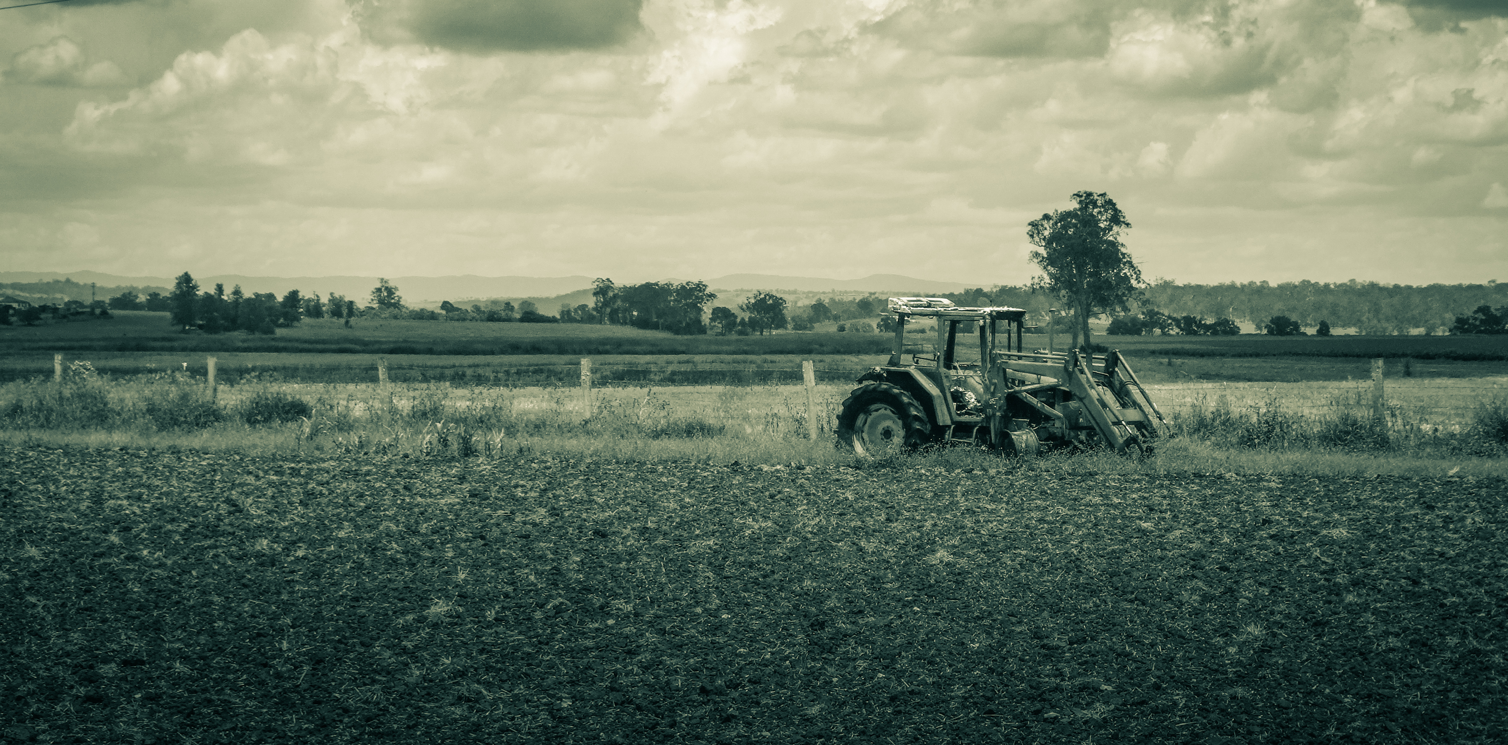
Old Tractor

Meandu Coal Mine

20130904_1268 Tarong Power Station

Buttsworth Road

Tarong State Forest

Buttsworth Road

Din Din State Forest
Topographic Map of Nanango QLD, Australia
Find elevation by address:

Places near Nanango QLD, Australia:
East Nanango
Mount Stanley
Elgin Vale
Porter Road
Manumbar Road
Manumbar
Manumbar
Monsildale
3085 Monsildale Rd
Quandong Road
Amamoor Creek
3 Upper Thornside Rd
1440 Kandanga Creek Rd
Upper Kandanga
Amamoor State Forest
Tansey
10 Jum Jum Ct
Lower Wonga
Imbil
Mooloo
Recent Searches:
- Elevation of Corso Fratelli Cairoli, 35, Macerata MC, Italy
- Elevation of Tallevast Rd, Sarasota, FL, USA
- Elevation of 4th St E, Sonoma, CA, USA
- Elevation of Black Hollow Rd, Pennsdale, PA, USA
- Elevation of Oakland Ave, Williamsport, PA, USA
- Elevation of Pedrógão Grande, Portugal
- Elevation of Klee Dr, Martinsburg, WV, USA
- Elevation of Via Roma, Pieranica CR, Italy
- Elevation of Tavkvetili Mountain, Georgia
- Elevation of Hartfords Bluff Cir, Mt Pleasant, SC, USA