Elevation of Nalbari, Assam, India
Location: India > Assam > Nalbari >
Longitude: 91.4410527
Latitude: 26.4446185
Elevation: 54m / 177feet
Barometric Pressure: 101KPa
Elevation Map:
Satellite Map:
Related Photos:
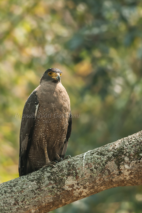
Crested Serpent Eagle (Spilornis cheela) Thank to Earthshine & Dr. Bhuyan for the identification.
Topographic Map of Nalbari, Assam, India
Find elevation by address:

Places near Nalbari, Assam, India:
Kamrup
Baksa
Namati Jalah
Gauripur
Iit Guwahati
Kali Mandir
Iitg Old Guest House
Kamakhya Temple
Kamakhya
Bhubneswari Temple Viewpoint
Bhubaneswari Temple
Nursery
Kamrup Metropolitan
Ulubari
Guwahati
Aseb Road
Dispur
Khanapara
Darrang
Umling
Recent Searches:
- Elevation of Corso Fratelli Cairoli, 35, Macerata MC, Italy
- Elevation of Tallevast Rd, Sarasota, FL, USA
- Elevation of 4th St E, Sonoma, CA, USA
- Elevation of Black Hollow Rd, Pennsdale, PA, USA
- Elevation of Oakland Ave, Williamsport, PA, USA
- Elevation of Pedrógão Grande, Portugal
- Elevation of Klee Dr, Martinsburg, WV, USA
- Elevation of Via Roma, Pieranica CR, Italy
- Elevation of Tavkvetili Mountain, Georgia
- Elevation of Hartfords Bluff Cir, Mt Pleasant, SC, USA