Elevation of Nalbari, Assam, India
Location: India > Assam >
Longitude: 91.3276422
Latitude: 26.3660495
Elevation: 50m / 164feet
Barometric Pressure: 101KPa
Elevation Map:
Satellite Map:
Related Photos:
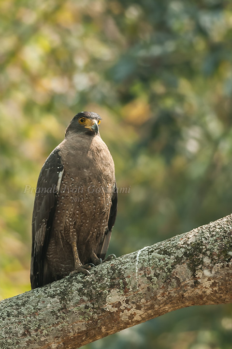
Crested Serpent Eagle (Spilornis cheela) Thank to Earthshine & Dr. Bhuyan for the identification.
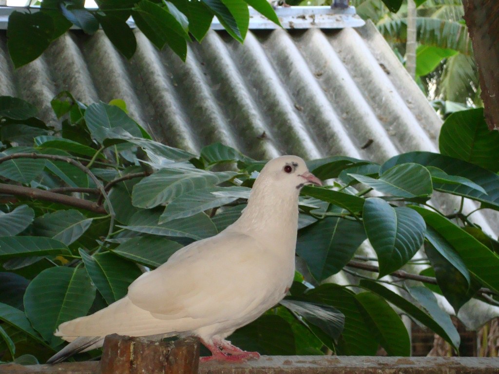
.Peace
Topographic Map of Nalbari, Assam, India
Find elevation by address:

Places in Nalbari, Assam, India:
Places near Nalbari, Assam, India:
Baksa
Barpeta
Barpeta
Manas National Park
Chirang
Hotel Brahmaputra Valley
Bongaigaon
Goalpara
Meghalaya
Kokrajhar
Kokrajhar
West Garo Hills
Tura
Recent Searches:
- Elevation of Corso Fratelli Cairoli, 35, Macerata MC, Italy
- Elevation of Tallevast Rd, Sarasota, FL, USA
- Elevation of 4th St E, Sonoma, CA, USA
- Elevation of Black Hollow Rd, Pennsdale, PA, USA
- Elevation of Oakland Ave, Williamsport, PA, USA
- Elevation of Pedrógão Grande, Portugal
- Elevation of Klee Dr, Martinsburg, WV, USA
- Elevation of Via Roma, Pieranica CR, Italy
- Elevation of Tavkvetili Mountain, Georgia
- Elevation of Hartfords Bluff Cir, Mt Pleasant, SC, USA