Elevation map of Kamrup, Assam, India
Location: India > Assam >
Longitude: 91.5983959
Latitude: 26.3160819
Elevation: 49m / 161feet
Barometric Pressure: 101KPa
Elevation Map:
Satellite Map:
Related Photos:

Mirrors

for a living
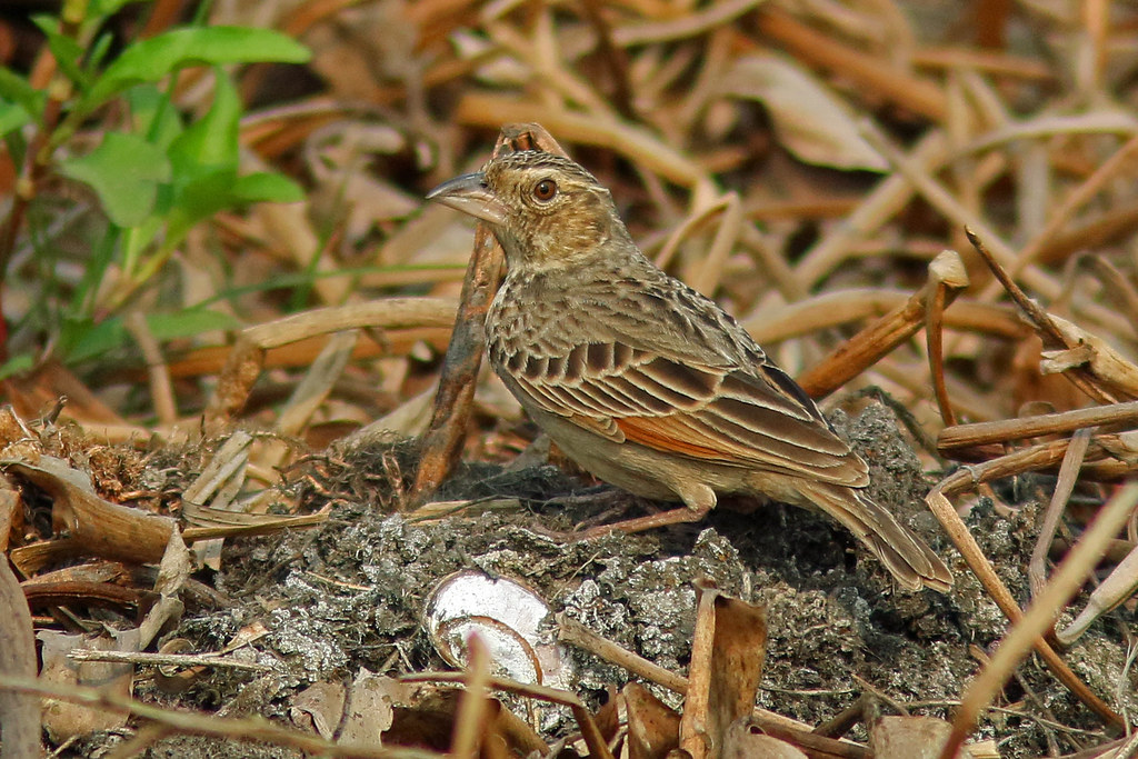
bengal bush-lark

River Brahmaputra near Sualkuchi, Assam

Jul 11 - The Hayagriva Madhava temple (1583, both Hindu and Buddhist), Hajo
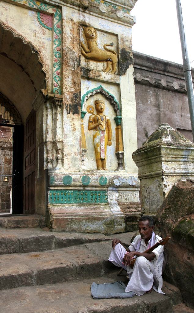
Jul 11 - Entrance to the Hayagriva Madhava temple (both Hindu and Buddhist), Hajo, Assam
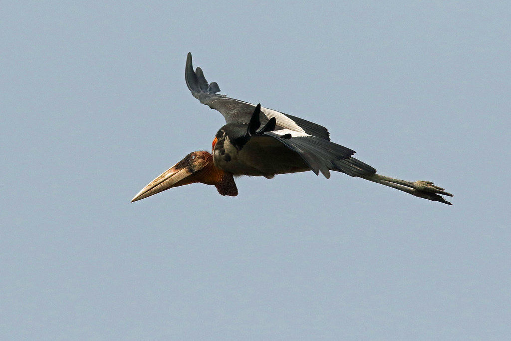
greater adjutant 5
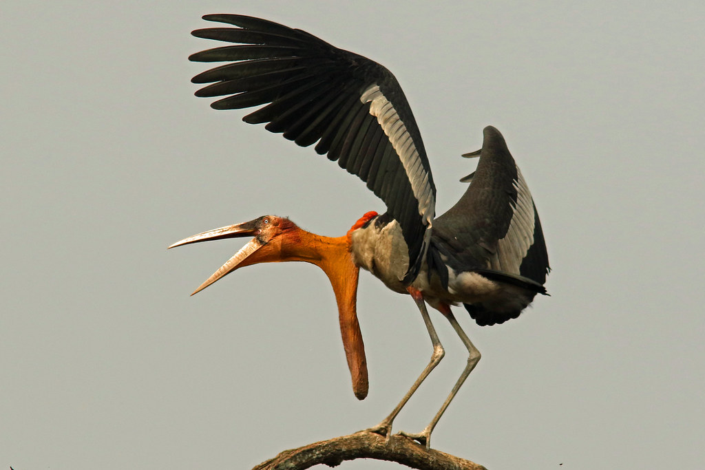
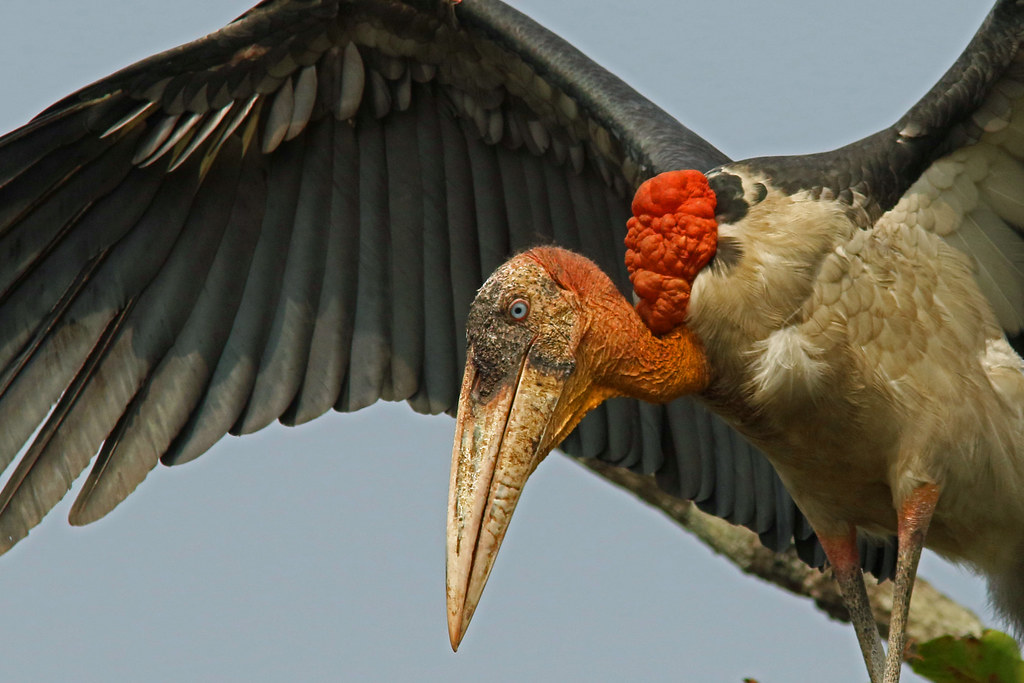
greater adjutant

greater adjutant 1

greater adjutants 1

greater adjutants
greater adjutant 2
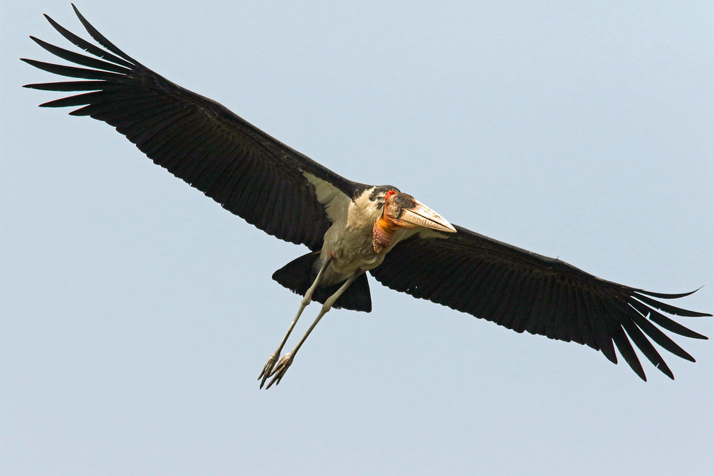
greater adjutant 3
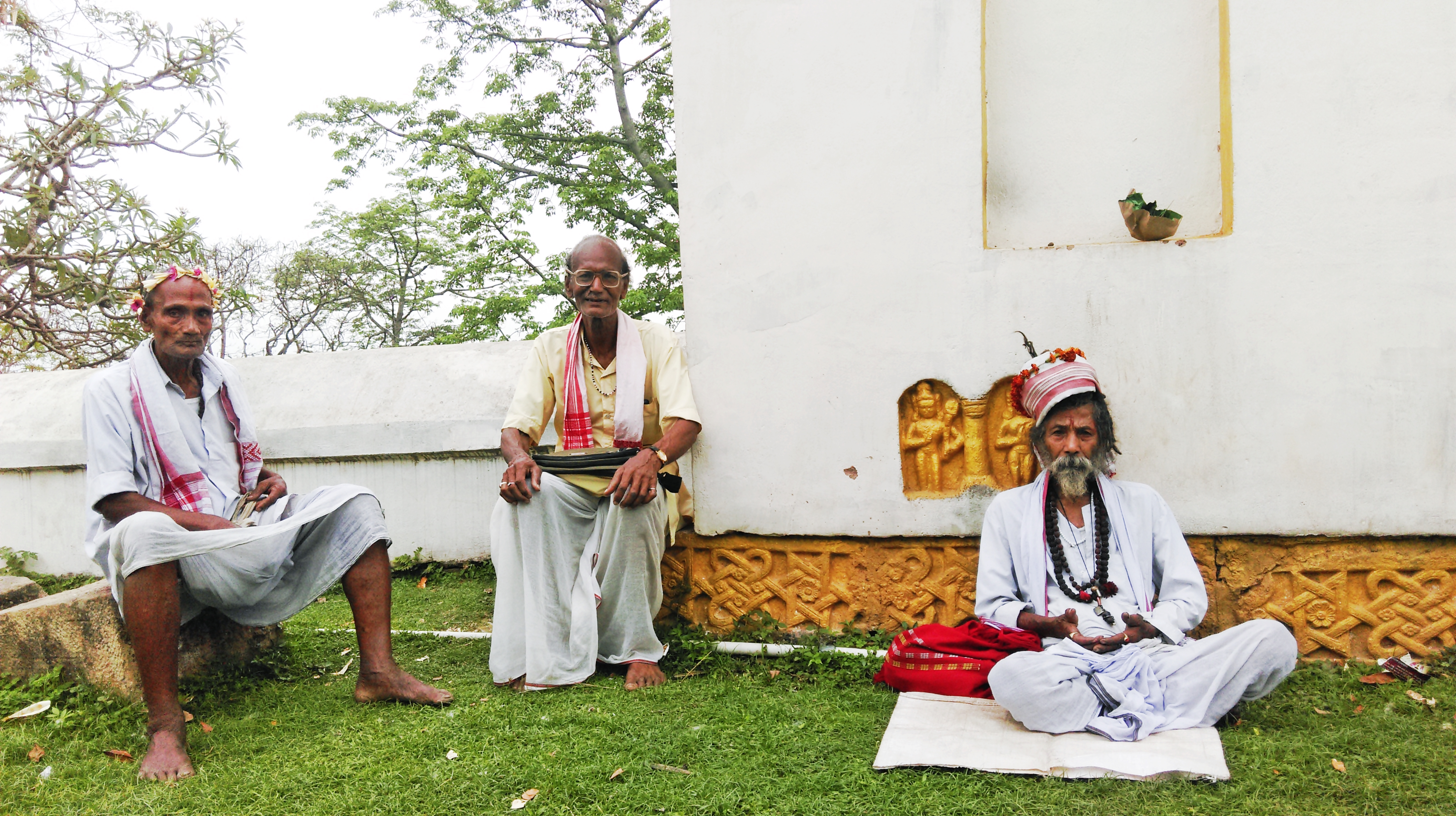
Hajo, Assam, India 2015

The wall.
The Nutella pancake!

Bangers & Mash!

The English breakfast.

Happy Magh Bhogali Bihu Assam @ Assam Yellow Page
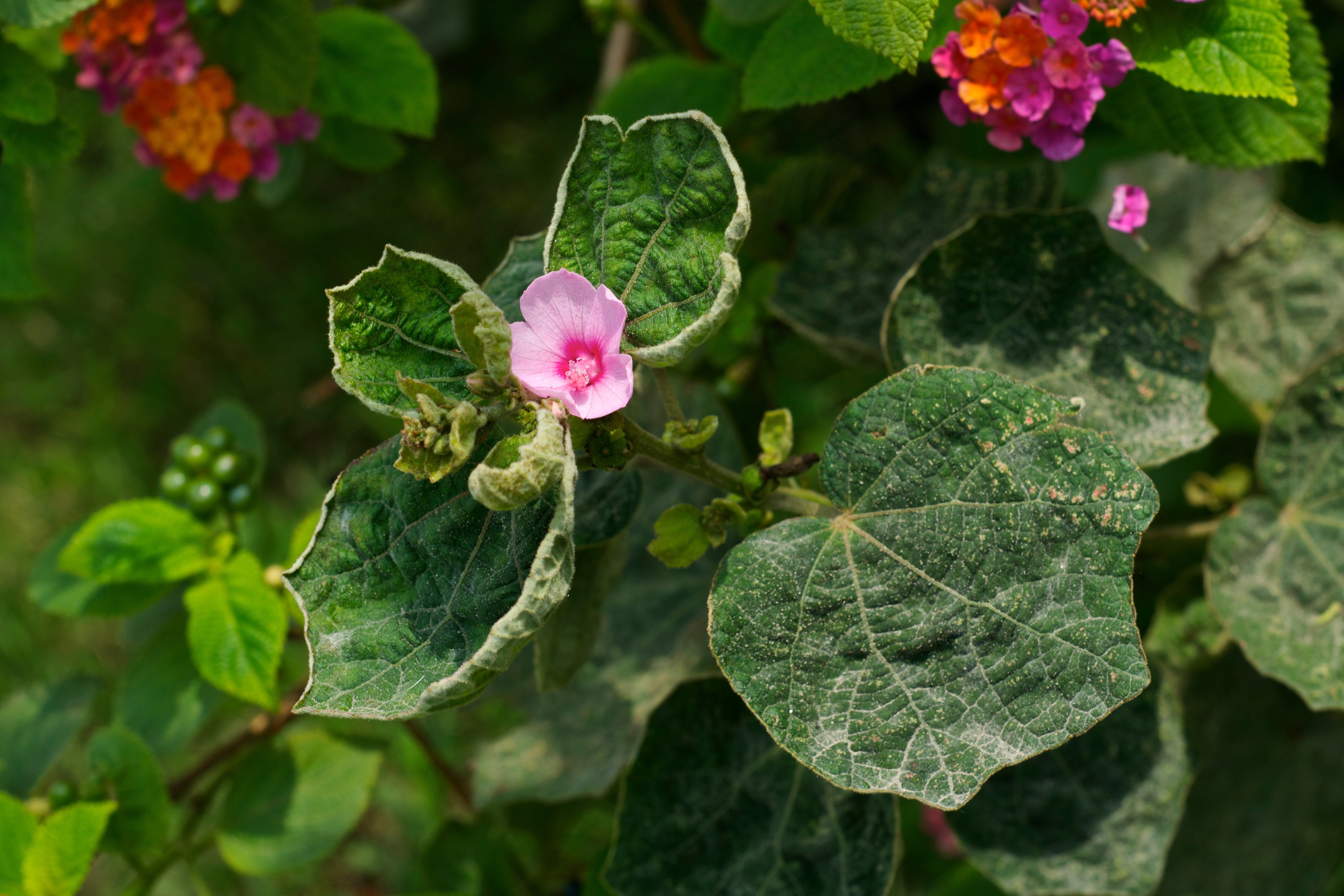
Forest Flower

IITG-3282

Jul 11 - In the Pao Mecca mosque, near Hajo, Assam
Topographic Map of Kamrup, Assam, India
Find elevation by address:

Places in Kamrup, Assam, India:
Places near Kamrup, Assam, India:
Gauripur
Namati Jalah
Iit Guwahati
Kali Mandir
Iitg Old Guest House
Kamakhya Temple
Bhubneswari Temple Viewpoint
Kamakhya
Bhubaneswari Temple
Nursery
Nalbari
Ulubari
Aseb Road
Guwahati
Kamrup Metropolitan
Dispur
Khanapara
Baksa
Umling
Darrang
Recent Searches:
- Elevation of Corso Fratelli Cairoli, 35, Macerata MC, Italy
- Elevation of Tallevast Rd, Sarasota, FL, USA
- Elevation of 4th St E, Sonoma, CA, USA
- Elevation of Black Hollow Rd, Pennsdale, PA, USA
- Elevation of Oakland Ave, Williamsport, PA, USA
- Elevation of Pedrógão Grande, Portugal
- Elevation of Klee Dr, Martinsburg, WV, USA
- Elevation of Via Roma, Pieranica CR, Italy
- Elevation of Tavkvetili Mountain, Georgia
- Elevation of Hartfords Bluff Cir, Mt Pleasant, SC, USA