Elevation of Nakashibetsu, Shibetsu District, Hokkaido Prefecture, Japan
Location: Japan > Hokkaido Prefecture > Shibetsu District >
Longitude: 144.971391
Latitude: 43.5552423
Elevation: 34m / 112feet
Barometric Pressure: 101KPa
Elevation Map:
Satellite Map:
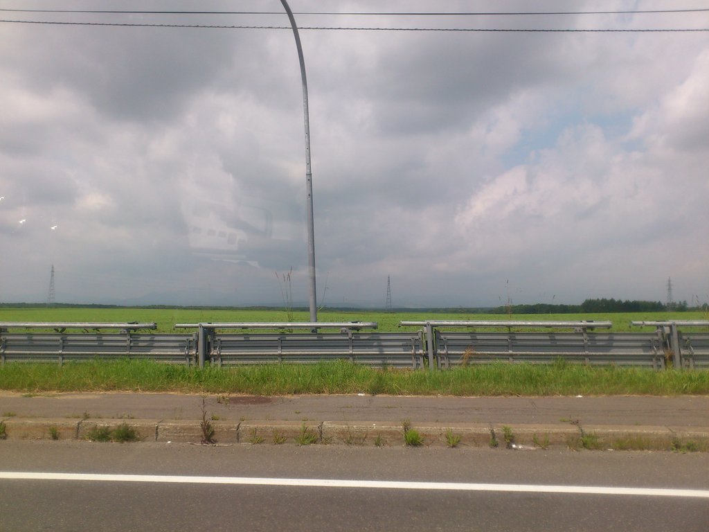
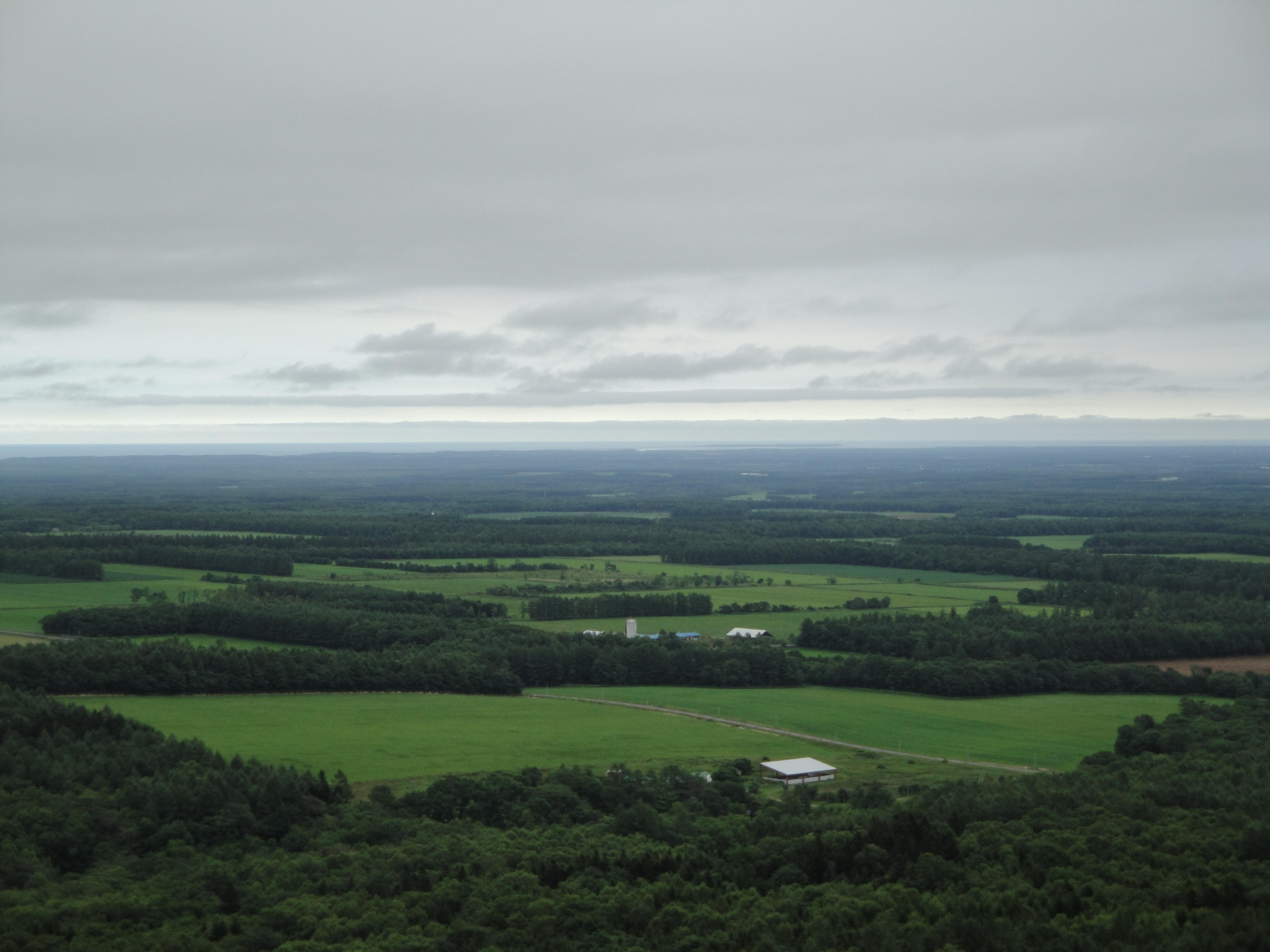
Related Photos:
360-view

19930819-0820-12

19930819-0820-08

19930819-0820-11
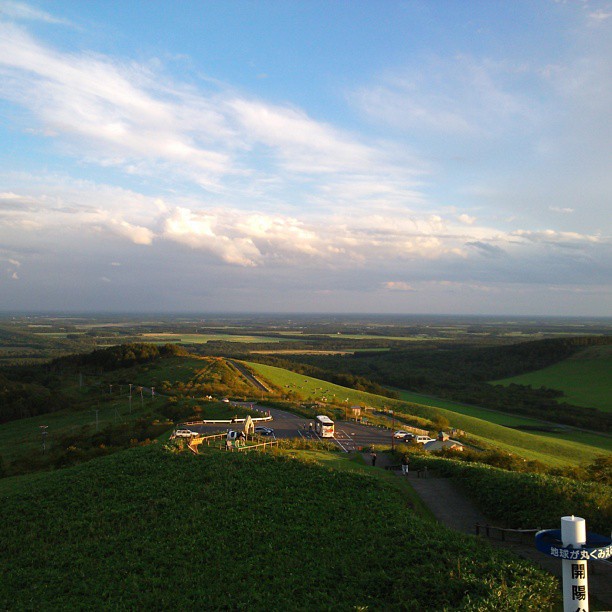
開陽台
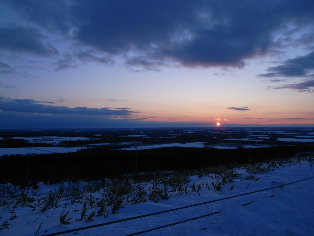
開陽台 初日の出

19930819-0820-13

19930819-0820-02

19930819-0820-01

19930819-0820-06
噂通り、景色最高!しかも今日は国後島がよく見える。
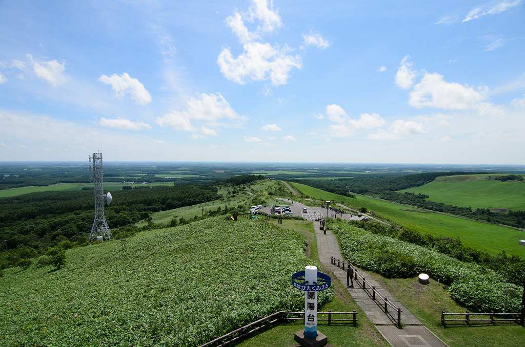
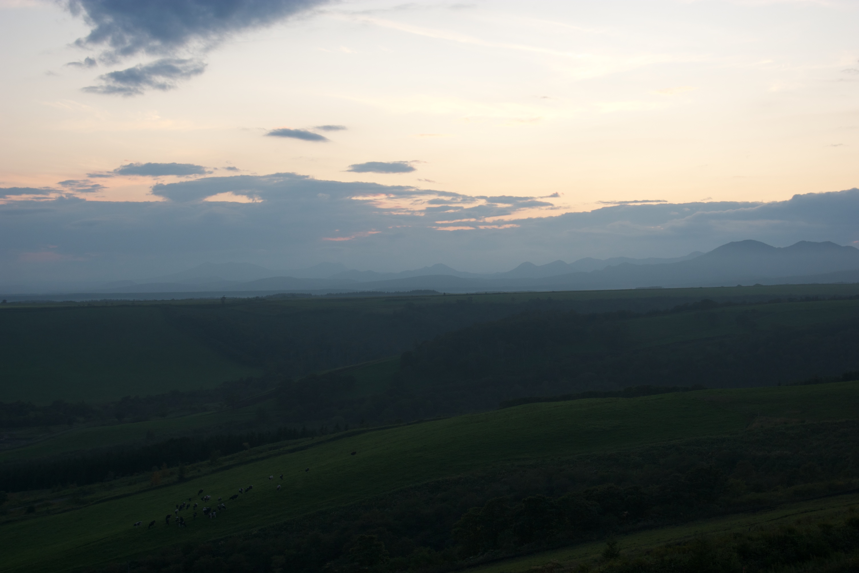
開陽台

19930819-0820-03

19930819-0820-10

19930819-0820-09

19930819-0820-05
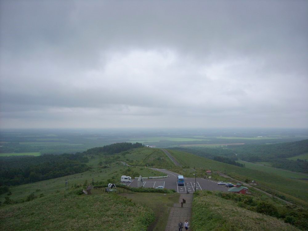
開陽台
中標津
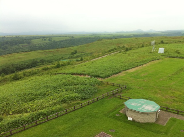
開陽台展望台

Panorama of Kaiyodai
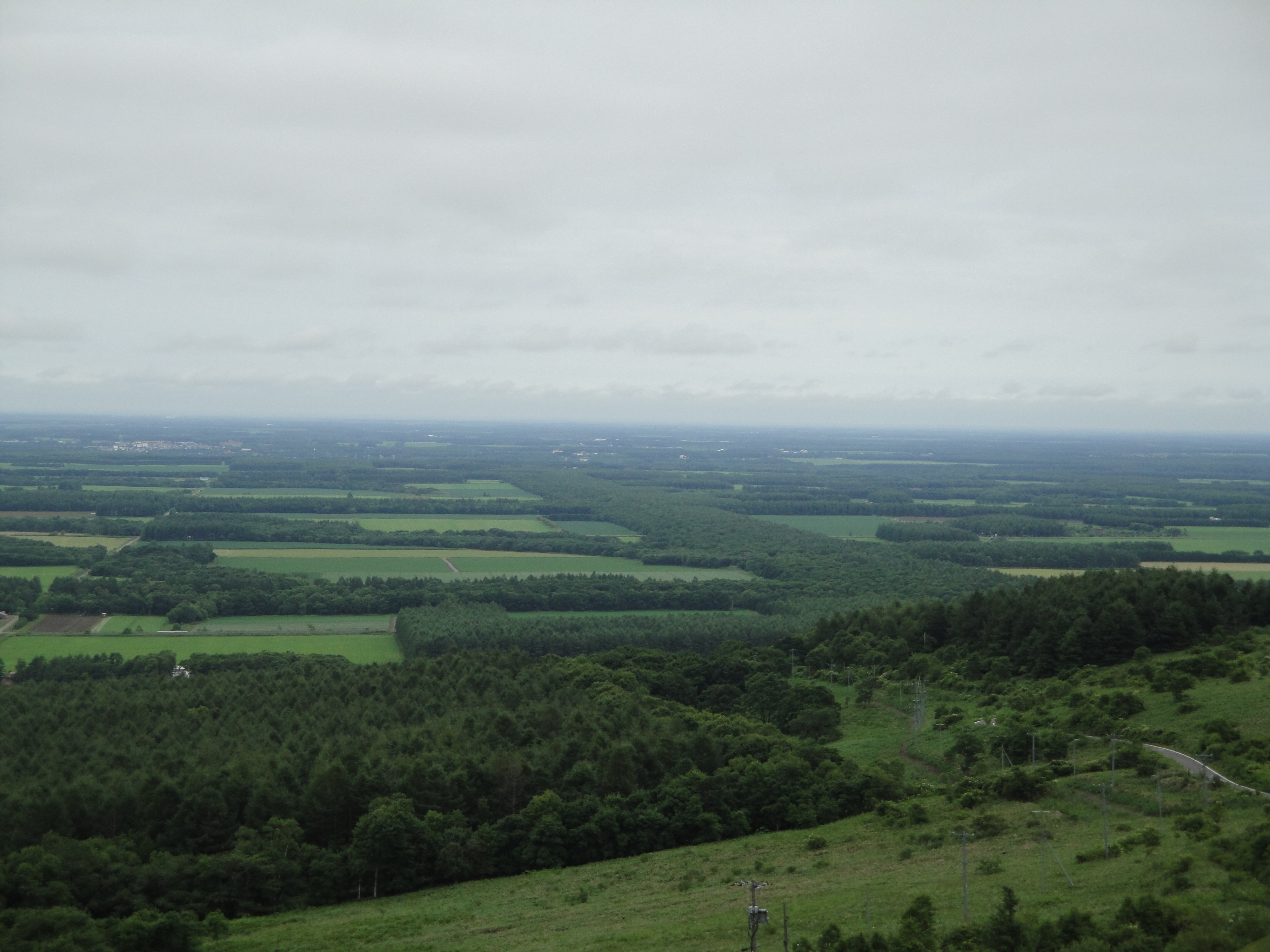
開陽台展望台
Topographic Map of Nakashibetsu, Shibetsu District, Hokkaido Prefecture, Japan
Find elevation by address:

Places in Nakashibetsu, Shibetsu District, Hokkaido Prefecture, Japan:
2 Chome-22 Maruyama, Nakashibetsu-chō, Shibetsu-gun, Hokkaidō -, Japan
5 Hyōchū, Nakashibetsu-chō, Shibetsu-gun, Hokkaidō -, Japan
Places near Nakashibetsu, Shibetsu District, Hokkaido Prefecture, Japan:
2 Chome-22 Maruyama, Nakashibetsu-chō, Shibetsu-gun, Hokkaidō -, Japan
5 Hyōchū, Nakashibetsu-chō, Shibetsu-gun, Hokkaidō -, Japan
38 Toyohara, Betsukai-chō, Notsuke-gun, Hokkaidō -, Japan
Notsuke District
Betsukai
3 Sen-60 Hamanakahigashi, Hamanaka-chō, Akkeshi-gun, Hokkaidō -, Japan
Akkeshi District
Hamanaka
Akkeshi
Tōbai, Nemuro-shi, Hokkaidō -, Japan
Nishiwada, Nemuro-shi, Hokkaidō -, Japan
Nemuro
11-9 Hamamatsu, Nemuro-shi, Hokkaidō -, Japan
4 Chome- Hōrinchō, Nemuro-shi, Hokkaidō -, Japan
Tomoshiri, Nemuro-shi, Hokkaidō -, Japan
3 Chome-5 Goyōmai, Nemuro-shi, Hokkaidō -, Japan
Recent Searches:
- Elevation of Corso Fratelli Cairoli, 35, Macerata MC, Italy
- Elevation of Tallevast Rd, Sarasota, FL, USA
- Elevation of 4th St E, Sonoma, CA, USA
- Elevation of Black Hollow Rd, Pennsdale, PA, USA
- Elevation of Oakland Ave, Williamsport, PA, USA
- Elevation of Pedrógão Grande, Portugal
- Elevation of Klee Dr, Martinsburg, WV, USA
- Elevation of Via Roma, Pieranica CR, Italy
- Elevation of Tavkvetili Mountain, Georgia
- Elevation of Hartfords Bluff Cir, Mt Pleasant, SC, USA