Elevation of 3 Chome-5 Goyōmai, Nemuro-shi, Hokkaidō -, Japan
Location: Japan > Hokkaido Prefecture > Nemuro >
Longitude: 145.810206
Latitude: 43.3683881
Elevation: 11m / 36feet
Barometric Pressure: 101KPa
Elevation Map:
Satellite Map:
Related Photos:
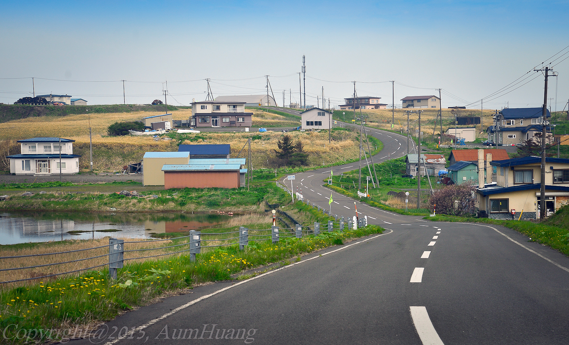
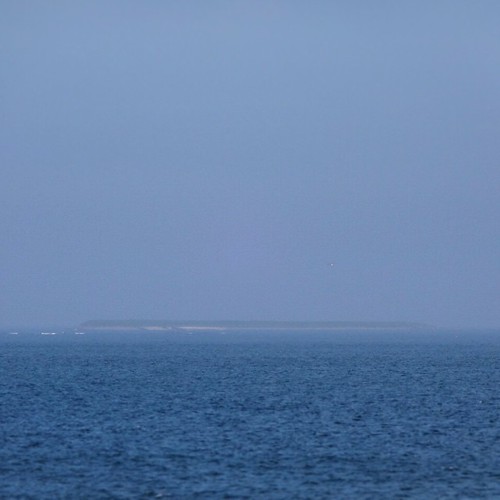
オホーツク海
ノサップ岬より北方領土方向
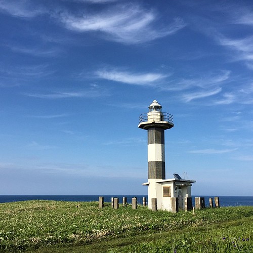
納沙布岬

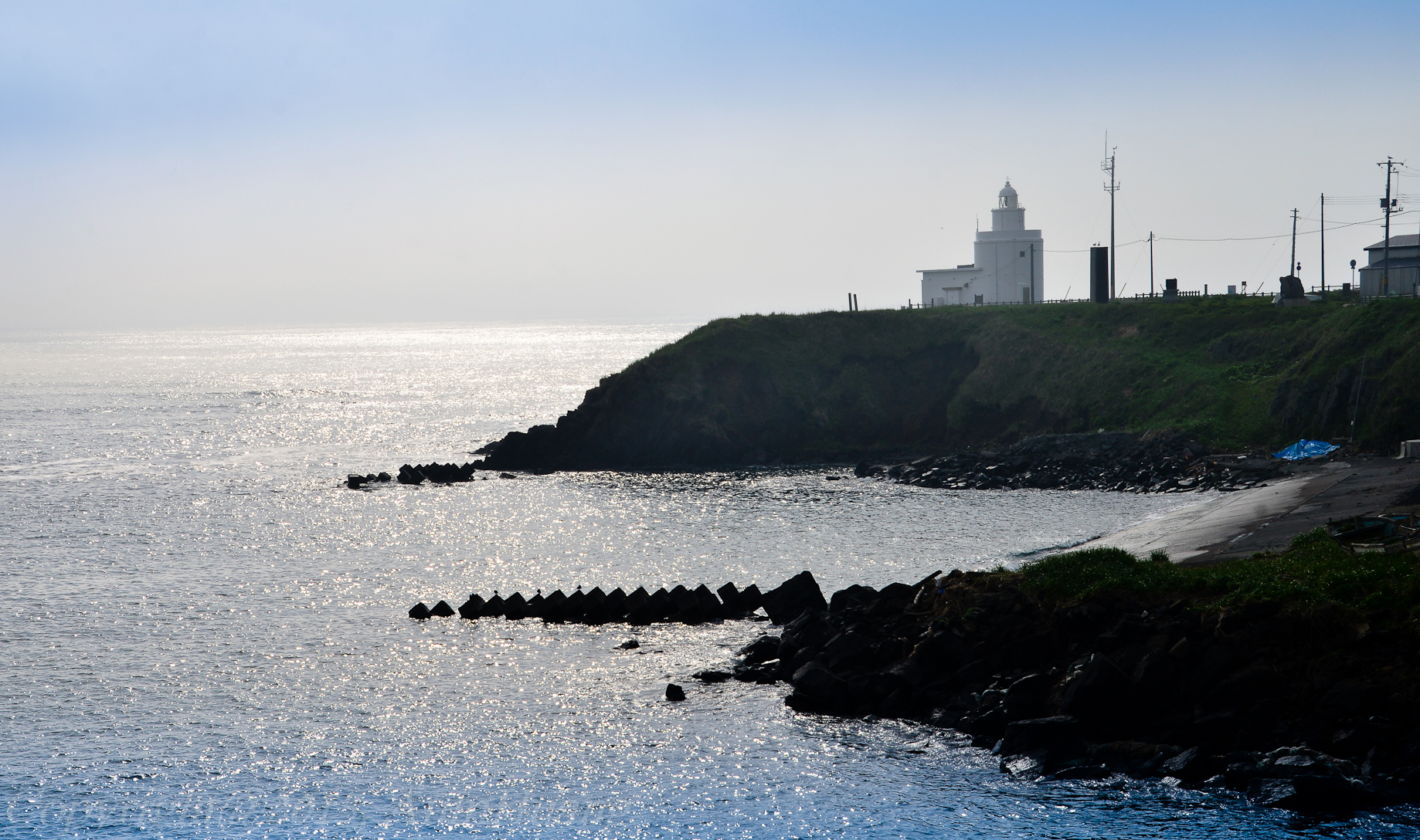
納沙布岬灯台を眺む
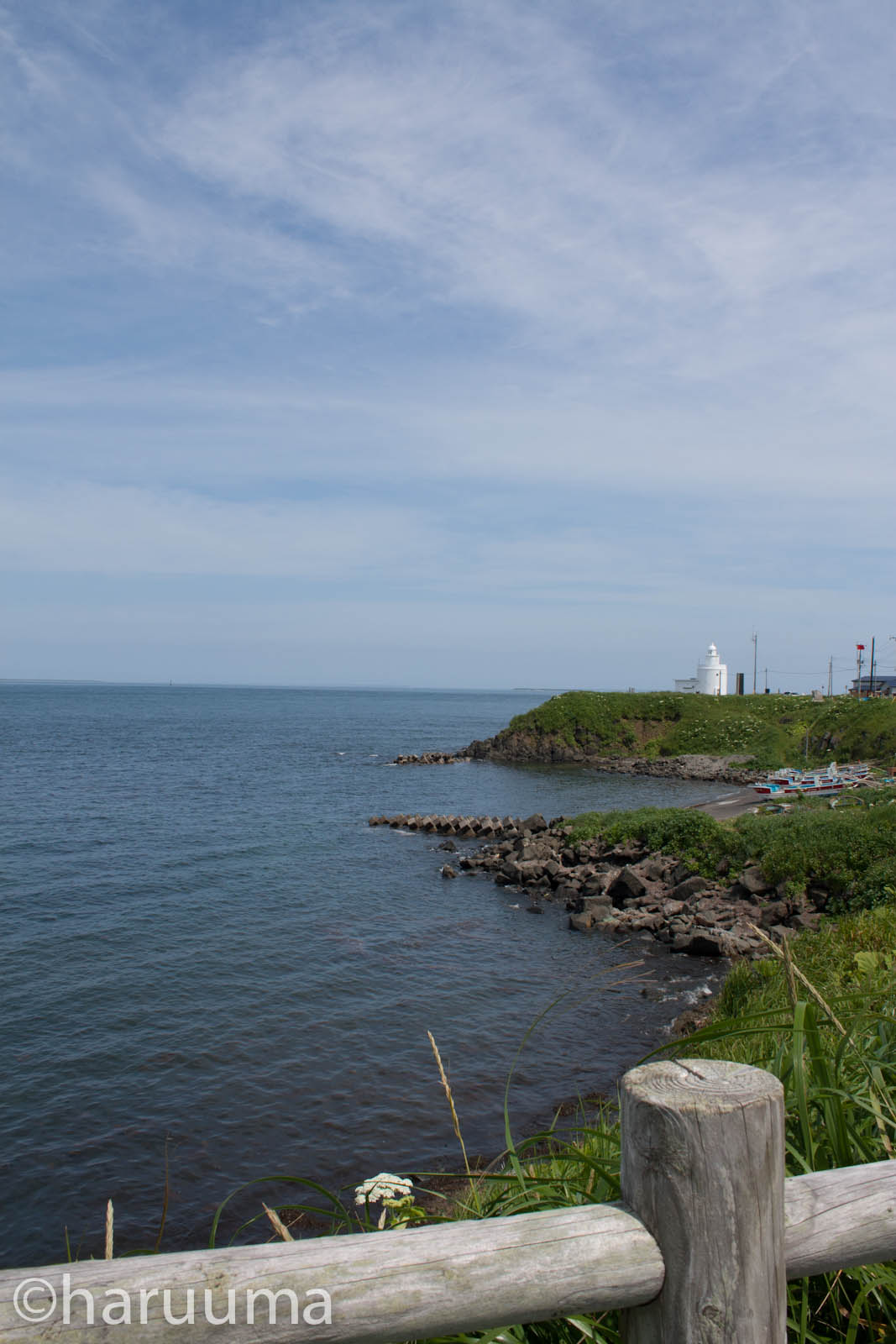
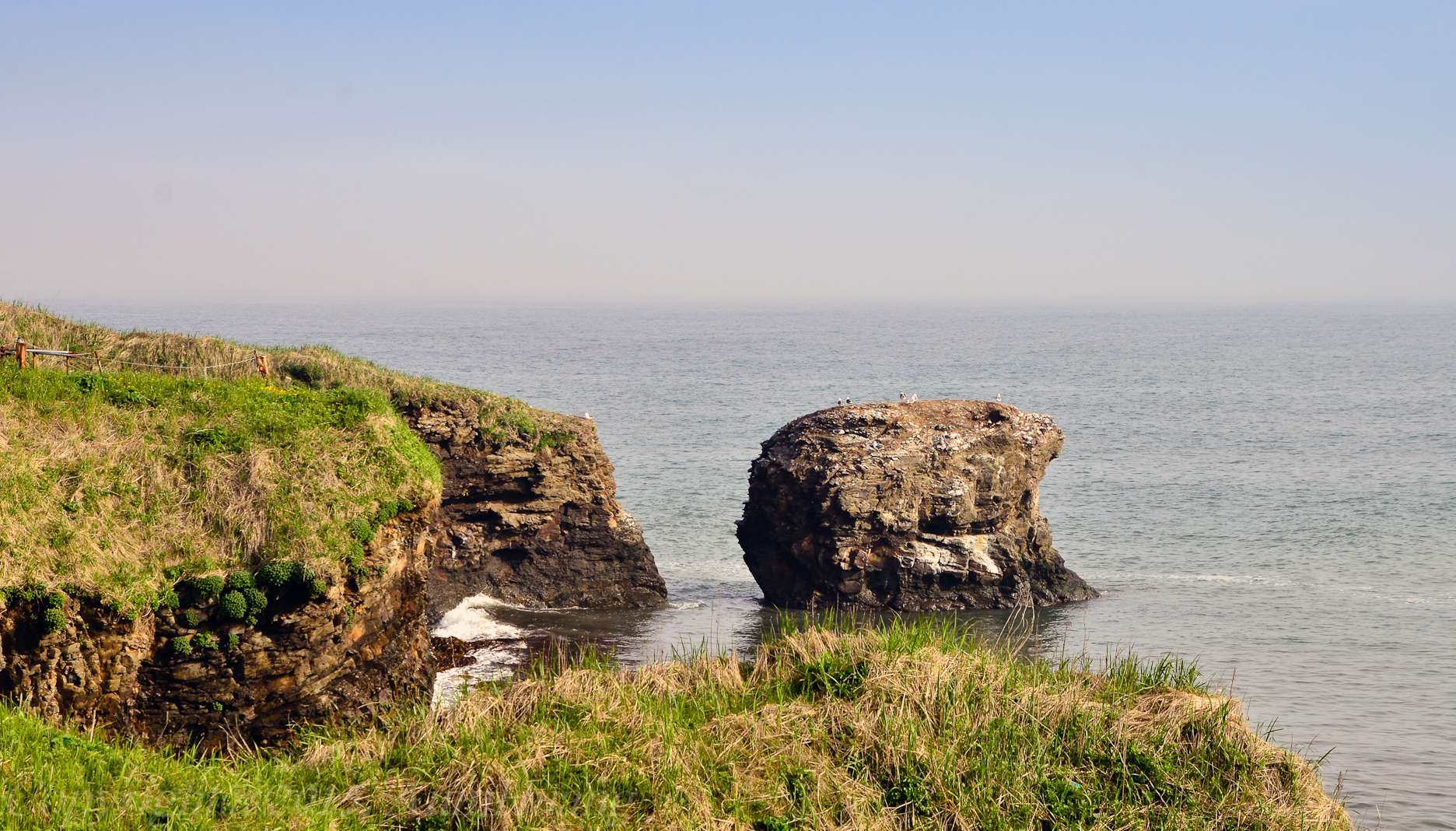
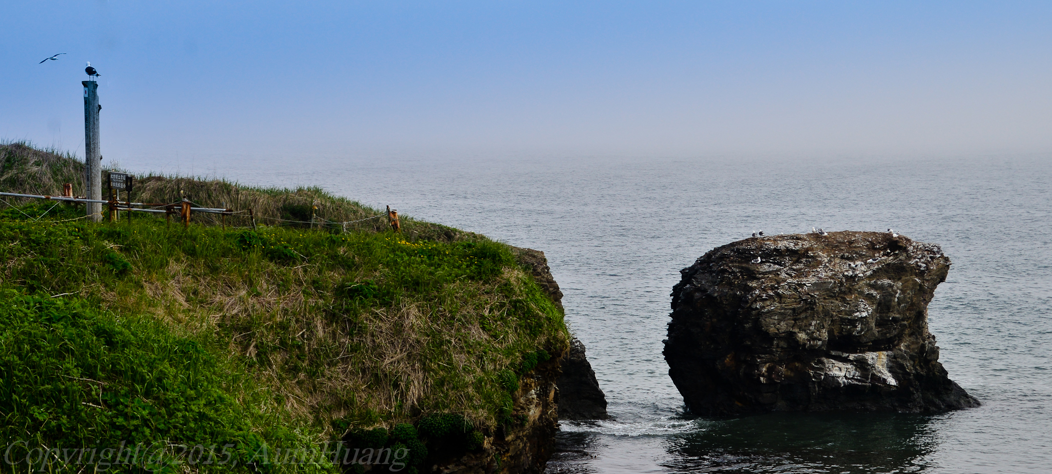
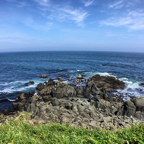
海岸
納沙布岬灯台を眺む

かえる
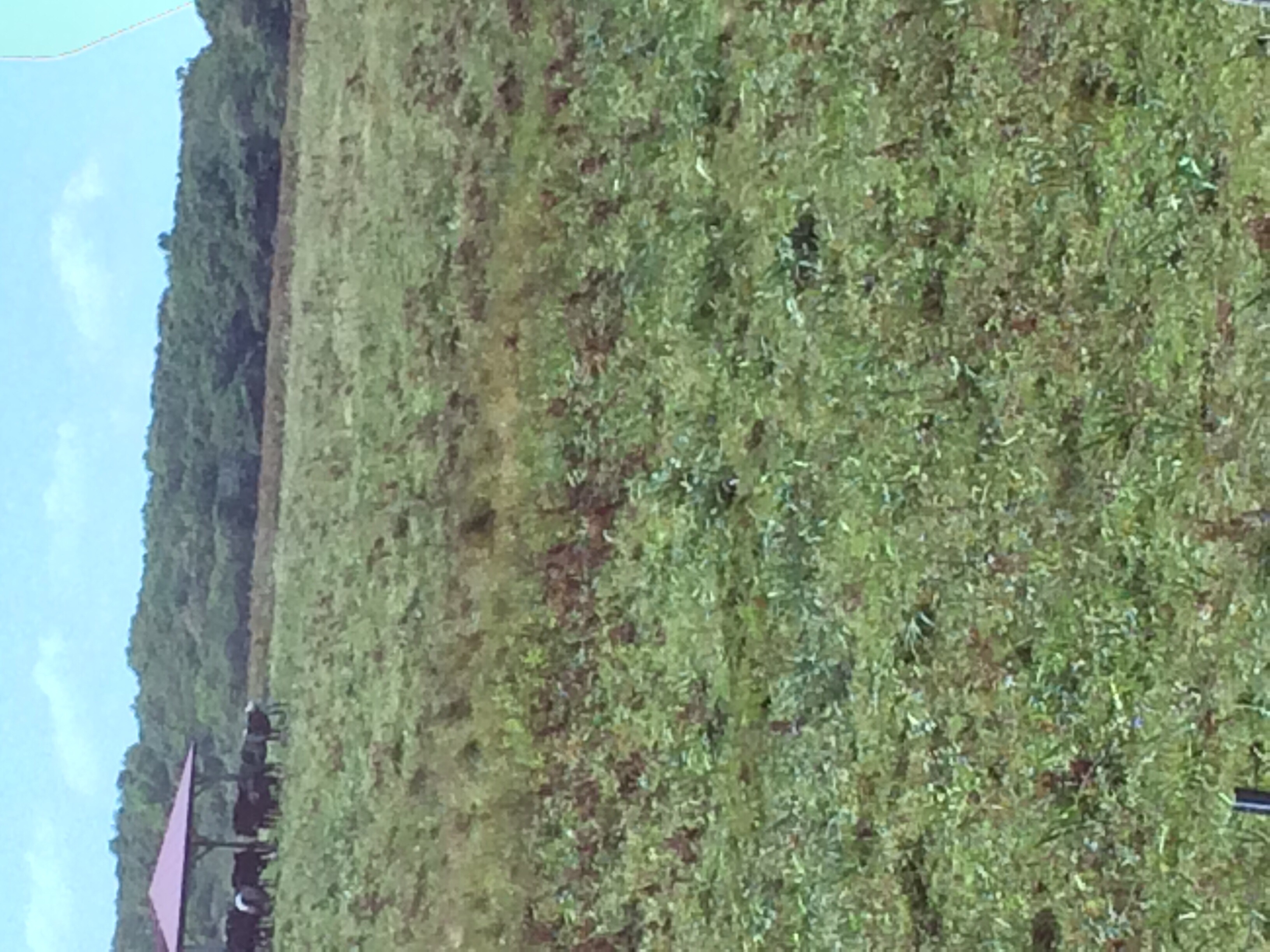
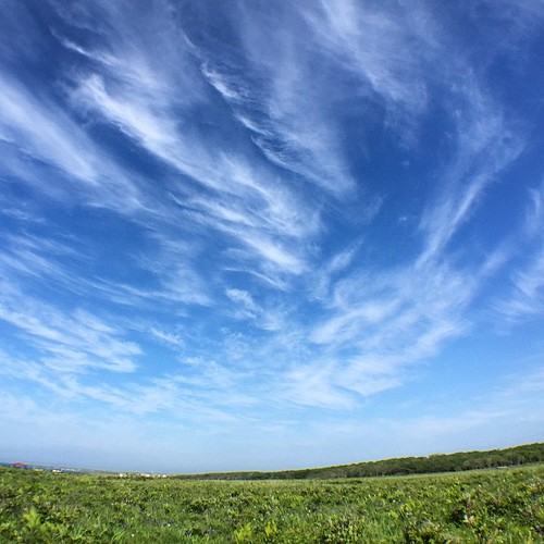
北方原生花園
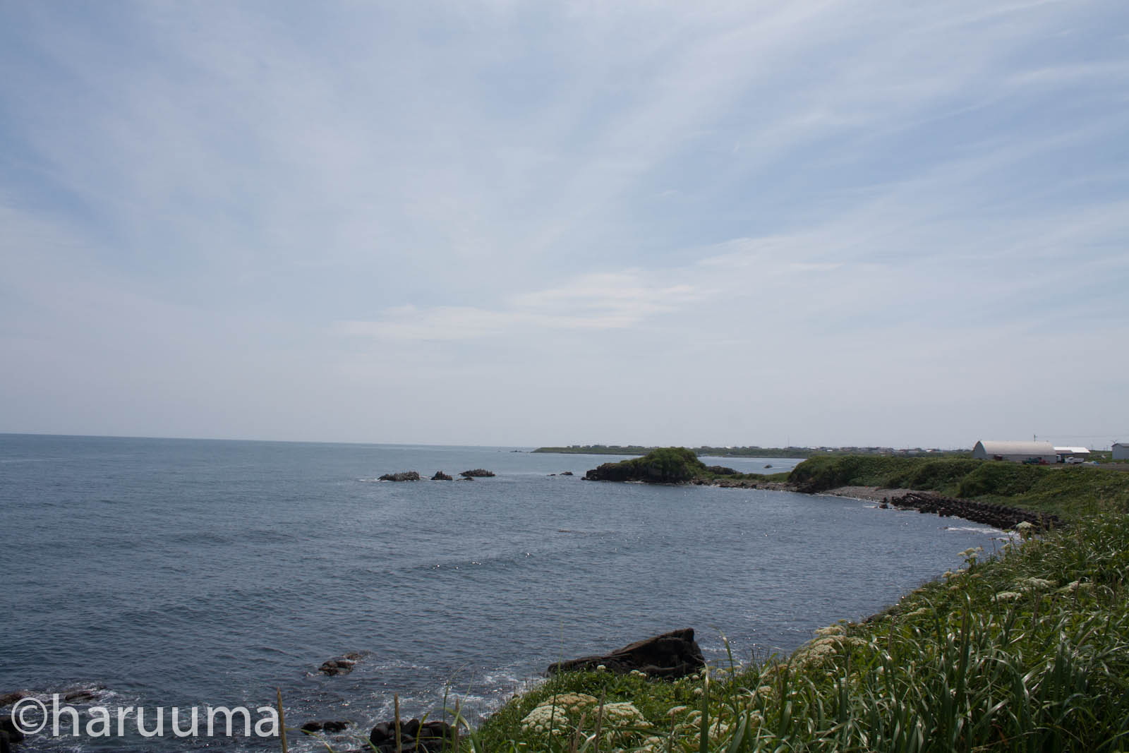
海岸
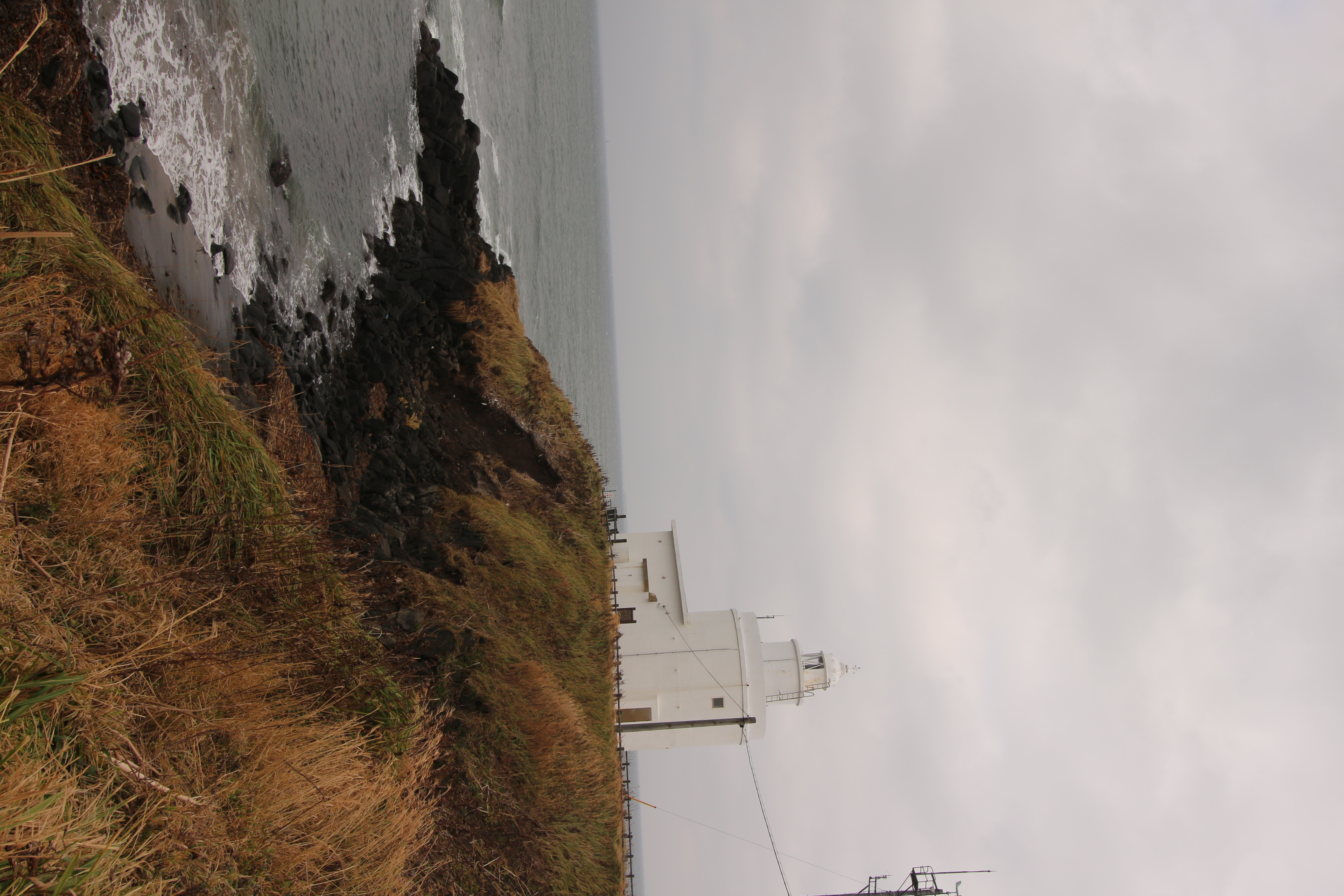
Lighthouse at Hokkaido's Most Eastern Point

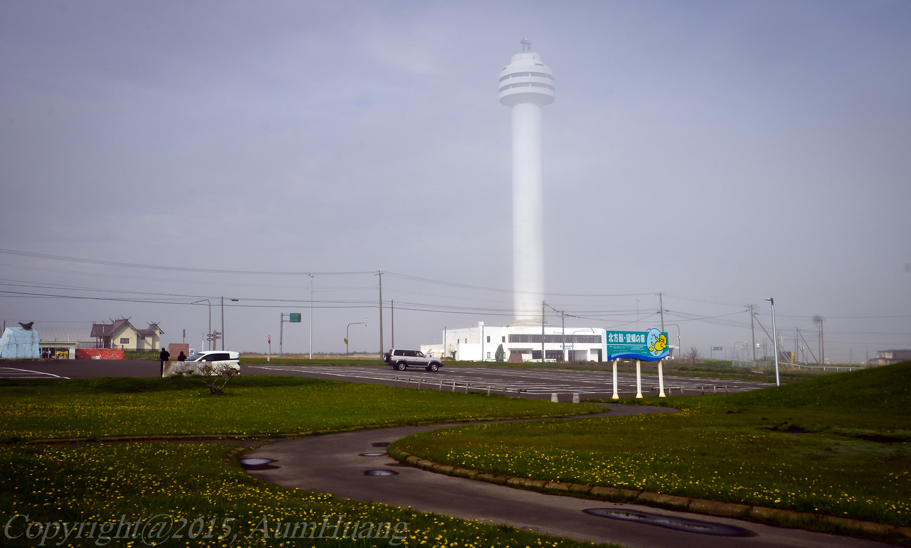
Hokkaido's Most Eastern Point

HKD-9630
HKD-9631
HKD-9632
HKD-9638
HKD-9641
HKD-9643
HKD-9644
HKD-9645
HKD-9647
HKD-9659
オシャレ灯台 #ノッカマップ岬 #ノッカマップ灯台 #灯台
人がいなくて野生ではないけどポニーが放牧されてて良い
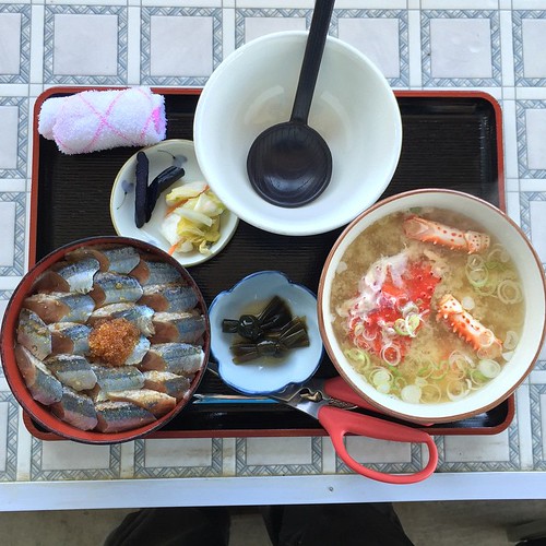
5食目 #さんま丼 #花咲がにの鉄砲汁
北方領土もちょっとだけ #納沙布岬 #北方領土
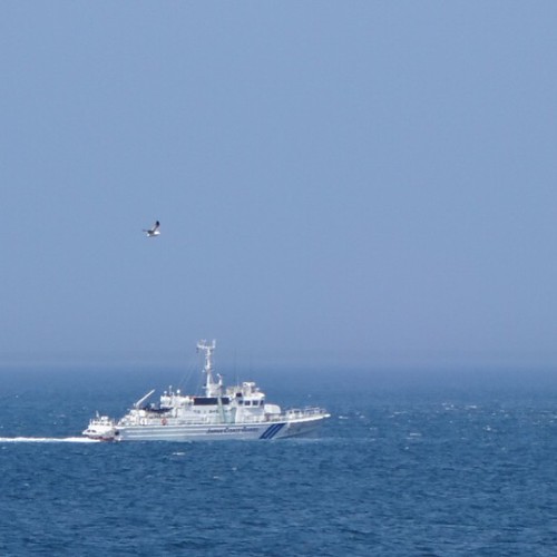
海上保安庁の巡視船 #納沙布岬 #沿岸警備 #海上保安庁
日本本土最東端、来ました #納沙布岬 #本土最東端 #最東端

An eternal flame

Heart-shaped Bell
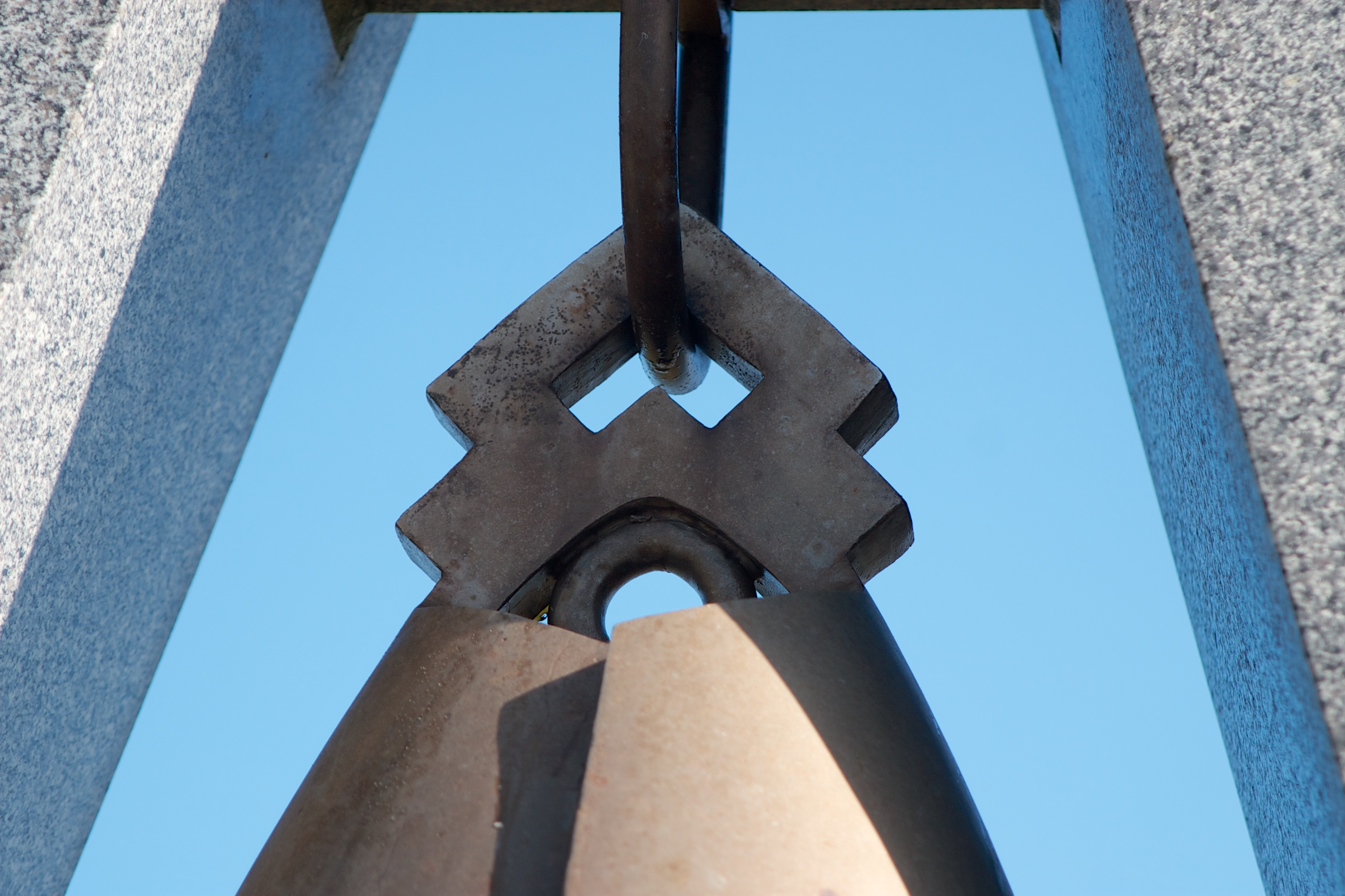
Bell hanger
Topographic Map of 3 Chome-5 Goyōmai, Nemuro-shi, Hokkaidō -, Japan
Find elevation by address:

Places near 3 Chome-5 Goyōmai, Nemuro-shi, Hokkaidō -, Japan:
Tomoshiri, Nemuro-shi, Hokkaidō -, Japan
Nemuro
4 Chome- Hōrinchō, Nemuro-shi, Hokkaidō -, Japan
Nishiwada, Nemuro-shi, Hokkaidō -, Japan
11-9 Hamamatsu, Nemuro-shi, Hokkaidō -, Japan
Tōbai, Nemuro-shi, Hokkaidō -, Japan
Betsukai
Hamanaka
3 Sen-60 Hamanakahigashi, Hamanaka-chō, Akkeshi-gun, Hokkaidō -, Japan
Notsuke District
38 Toyohara, Betsukai-chō, Notsuke-gun, Hokkaidō -, Japan
5 Hyōchū, Nakashibetsu-chō, Shibetsu-gun, Hokkaidō -, Japan
2 Chome-22 Maruyama, Nakashibetsu-chō, Shibetsu-gun, Hokkaidō -, Japan
Nakashibetsu
Akkeshi District
Akkeshi
Recent Searches:
- Elevation of Corso Fratelli Cairoli, 35, Macerata MC, Italy
- Elevation of Tallevast Rd, Sarasota, FL, USA
- Elevation of 4th St E, Sonoma, CA, USA
- Elevation of Black Hollow Rd, Pennsdale, PA, USA
- Elevation of Oakland Ave, Williamsport, PA, USA
- Elevation of Pedrógão Grande, Portugal
- Elevation of Klee Dr, Martinsburg, WV, USA
- Elevation of Via Roma, Pieranica CR, Italy
- Elevation of Tavkvetili Mountain, Georgia
- Elevation of Hartfords Bluff Cir, Mt Pleasant, SC, USA