Elevation of Akkeshi District, Hokkaido Prefecture, Japan
Location: Japan > Hokkaido Prefecture >
Longitude: 144.916261
Latitude: 43.135743
Elevation: 51m / 167feet
Barometric Pressure: 101KPa
Elevation Map:
Satellite Map:
Related Photos:
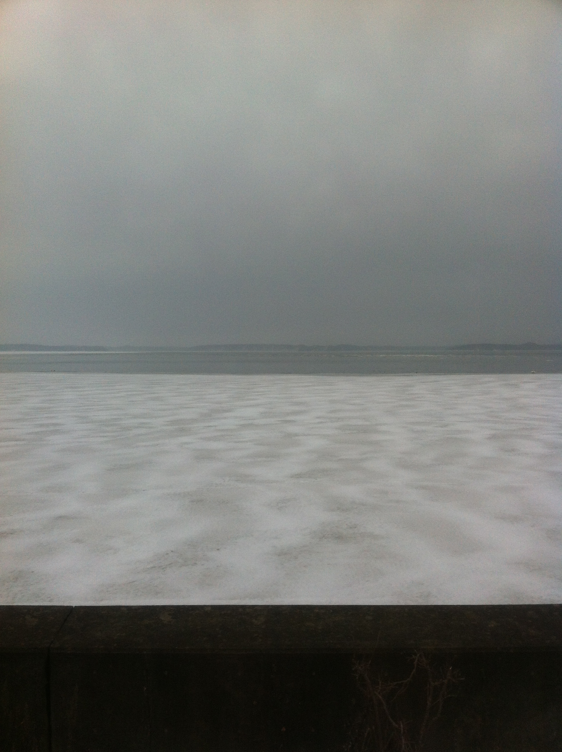
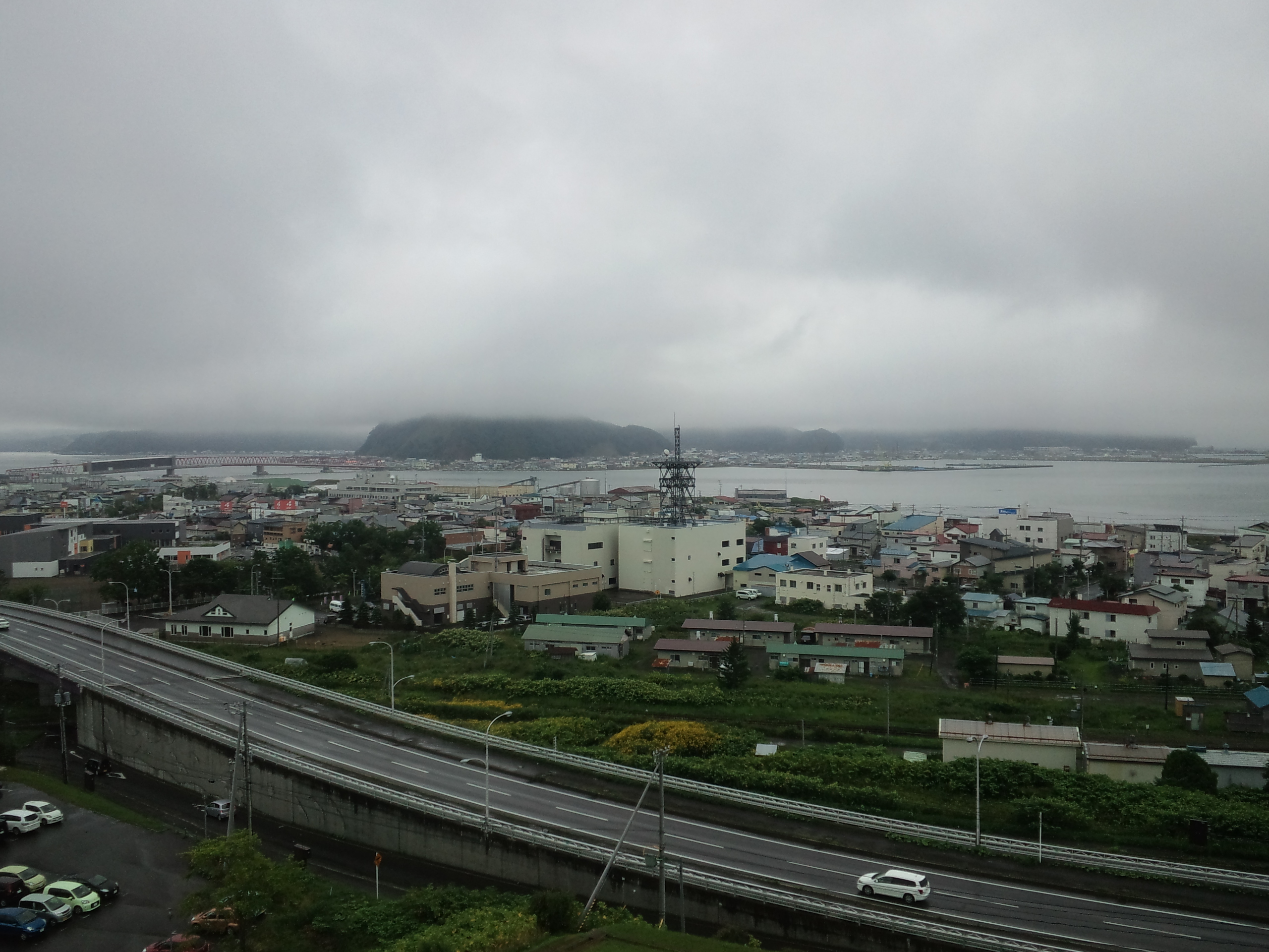
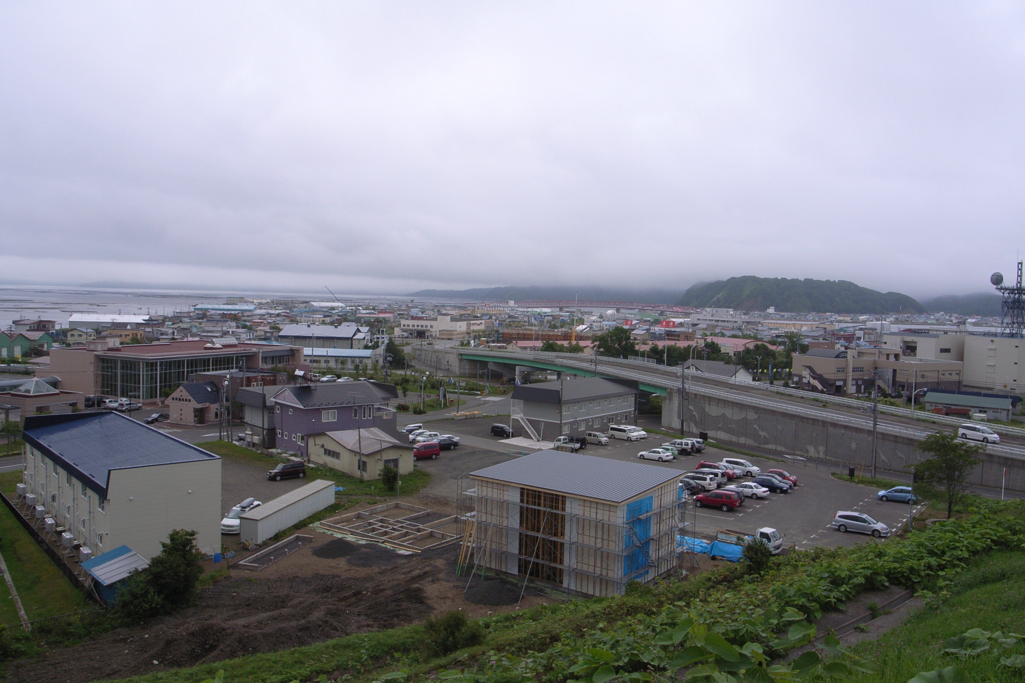
View from Akkeshi National Park
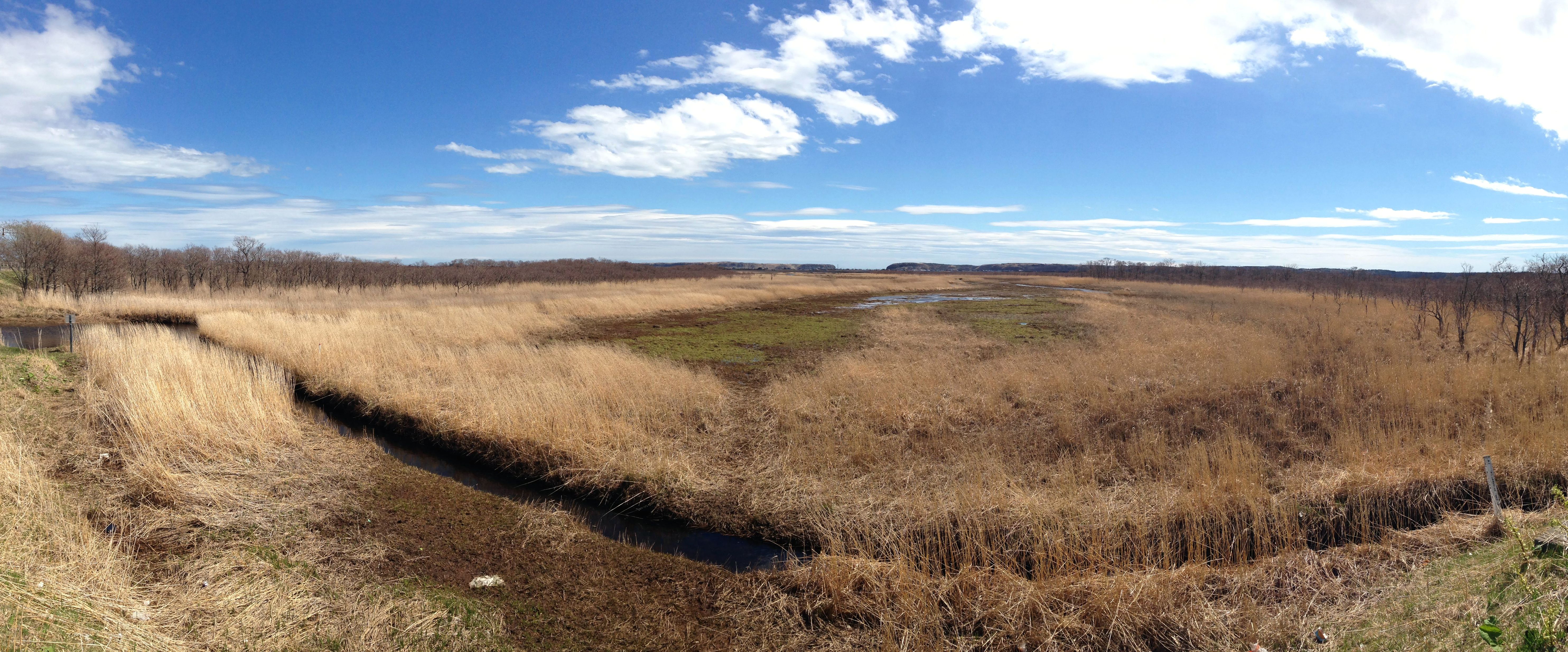
Kiritappu Marsh, Hamanaka

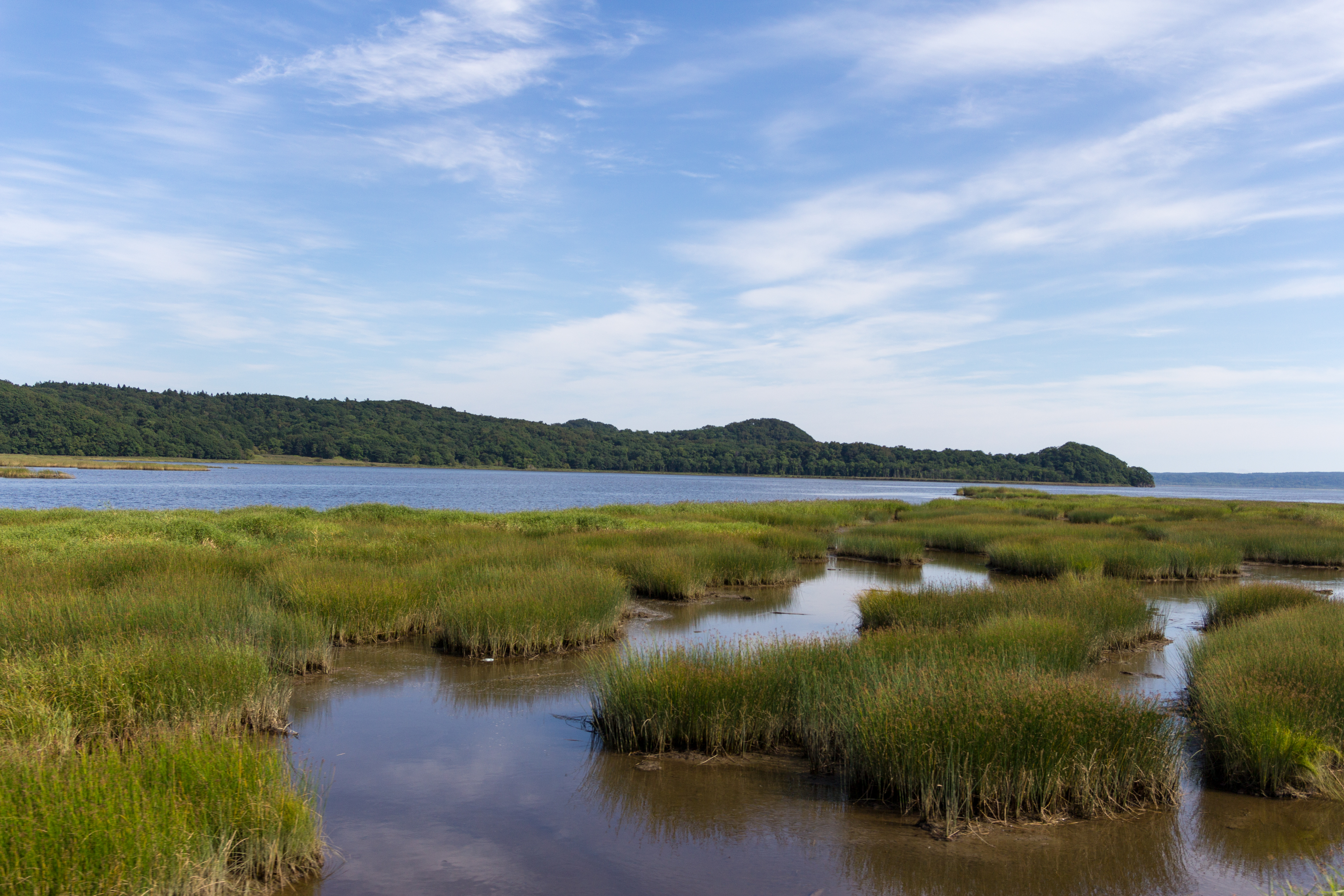
Kushiro Marsh, Kushiro

Kushiro Marsh, Kushiro
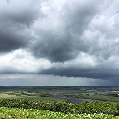
雲がすごい、空が広い! #霧多布湿原
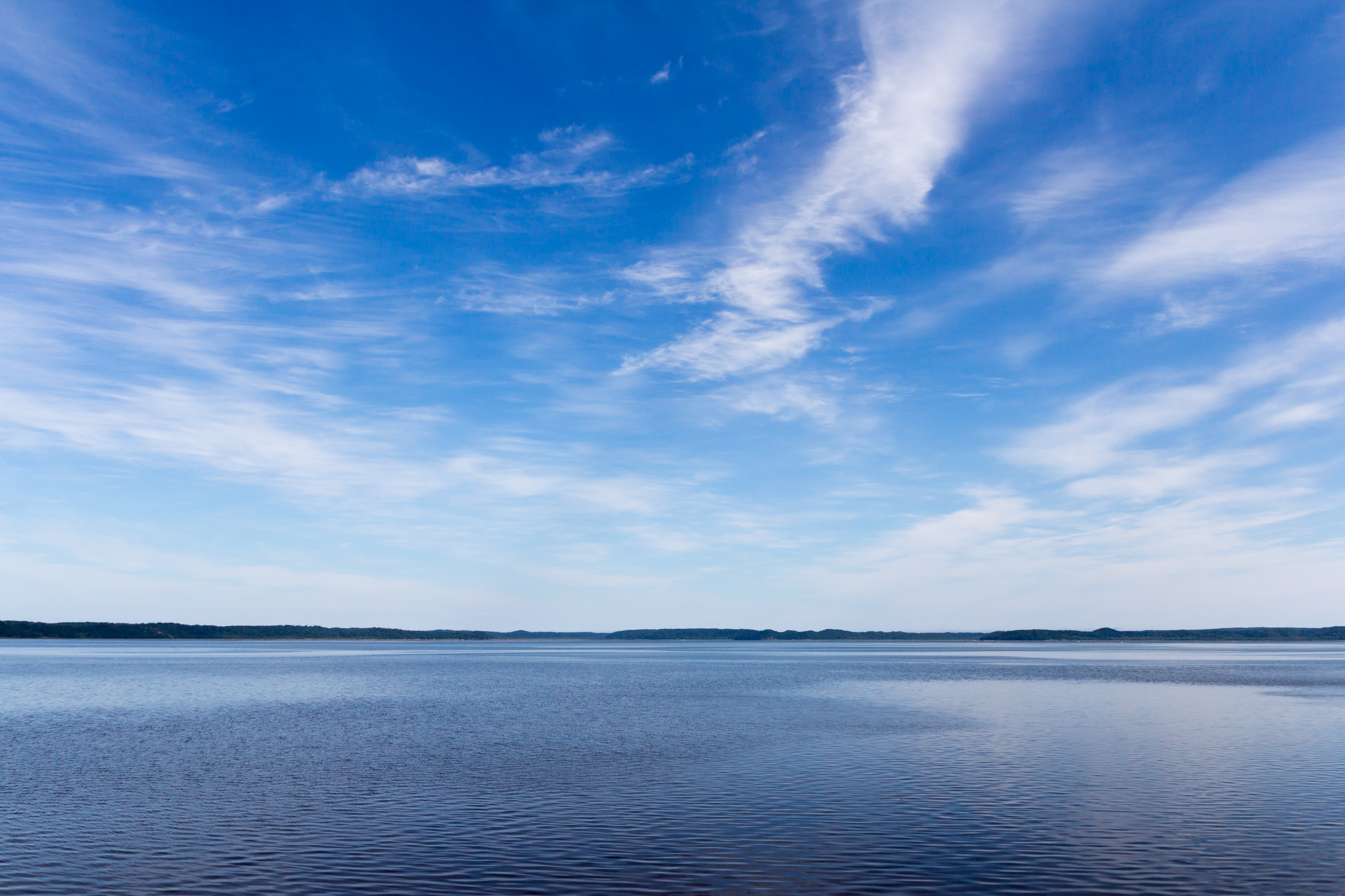
海がきれいだ
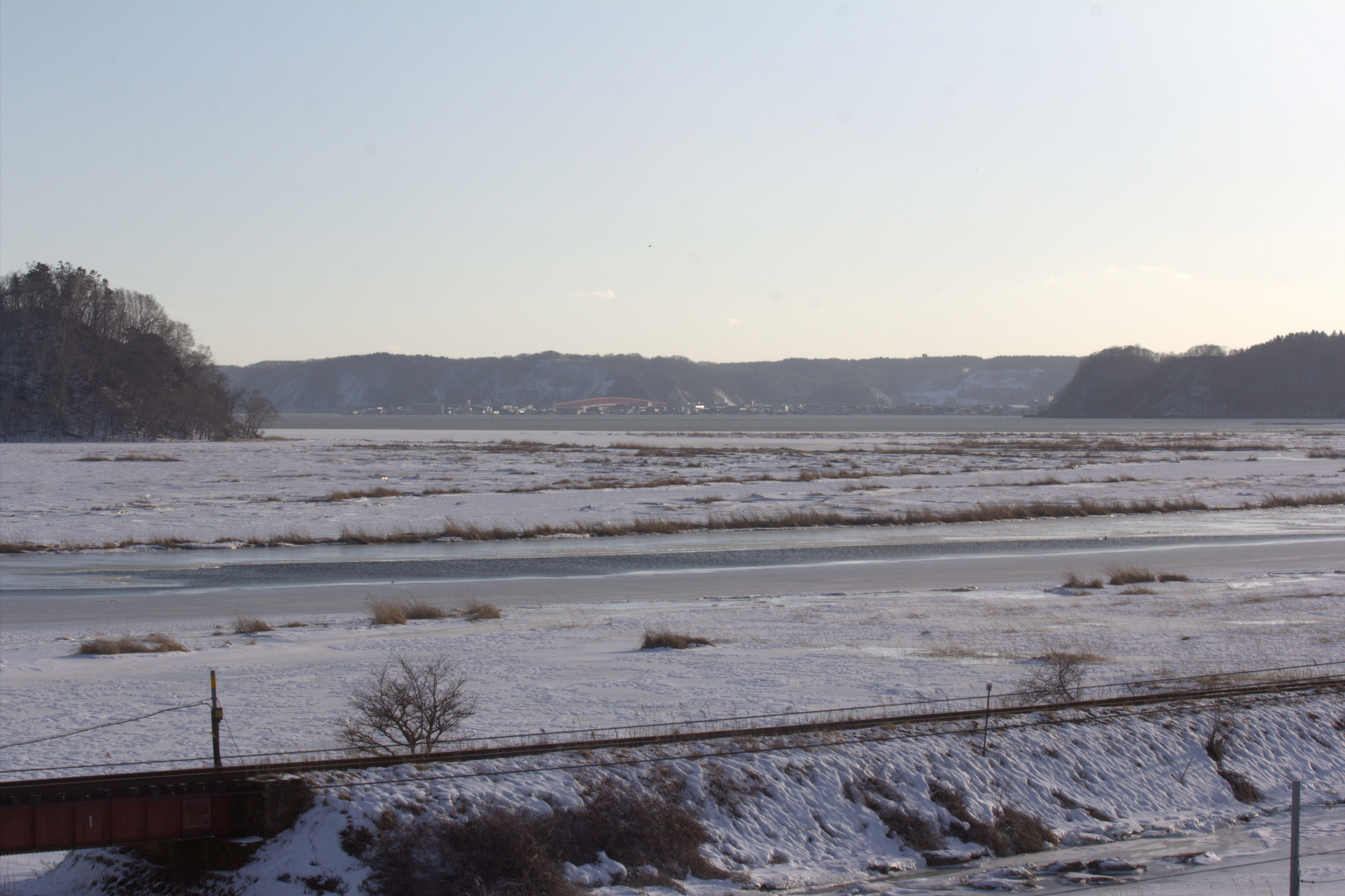
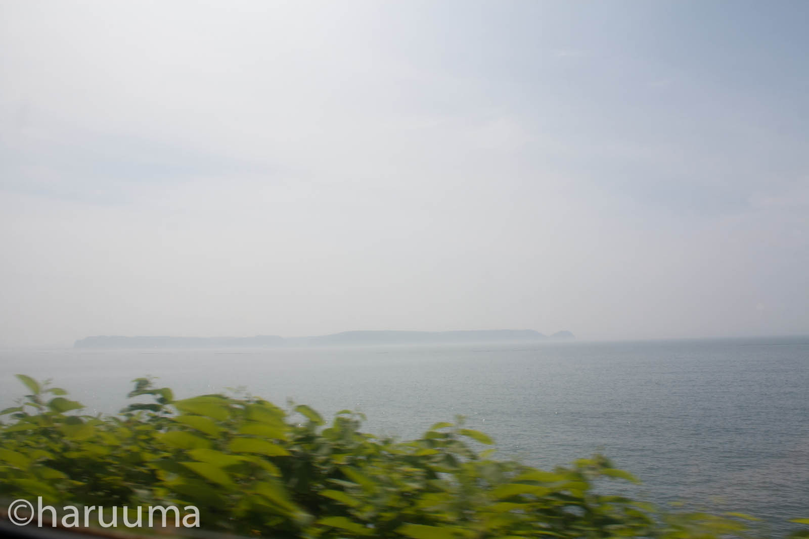
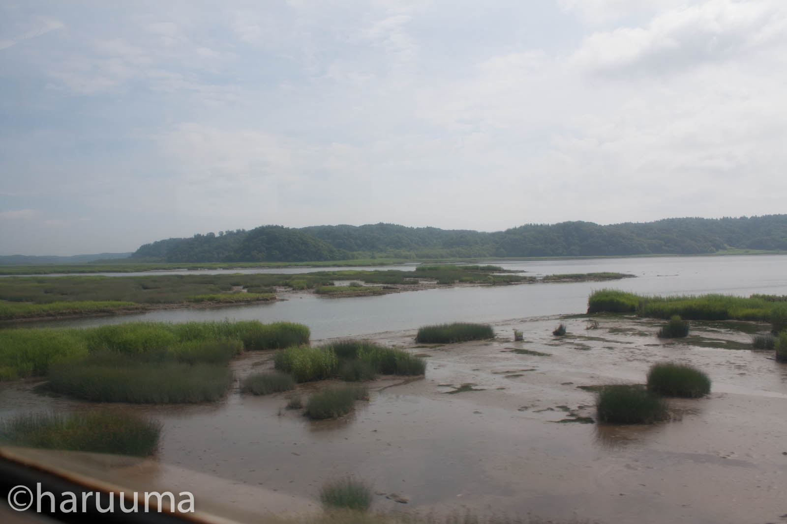
根室本線車窓 厚岸湖
空

I'm not that I CUP but only B maybe. Hehe.
@北海道
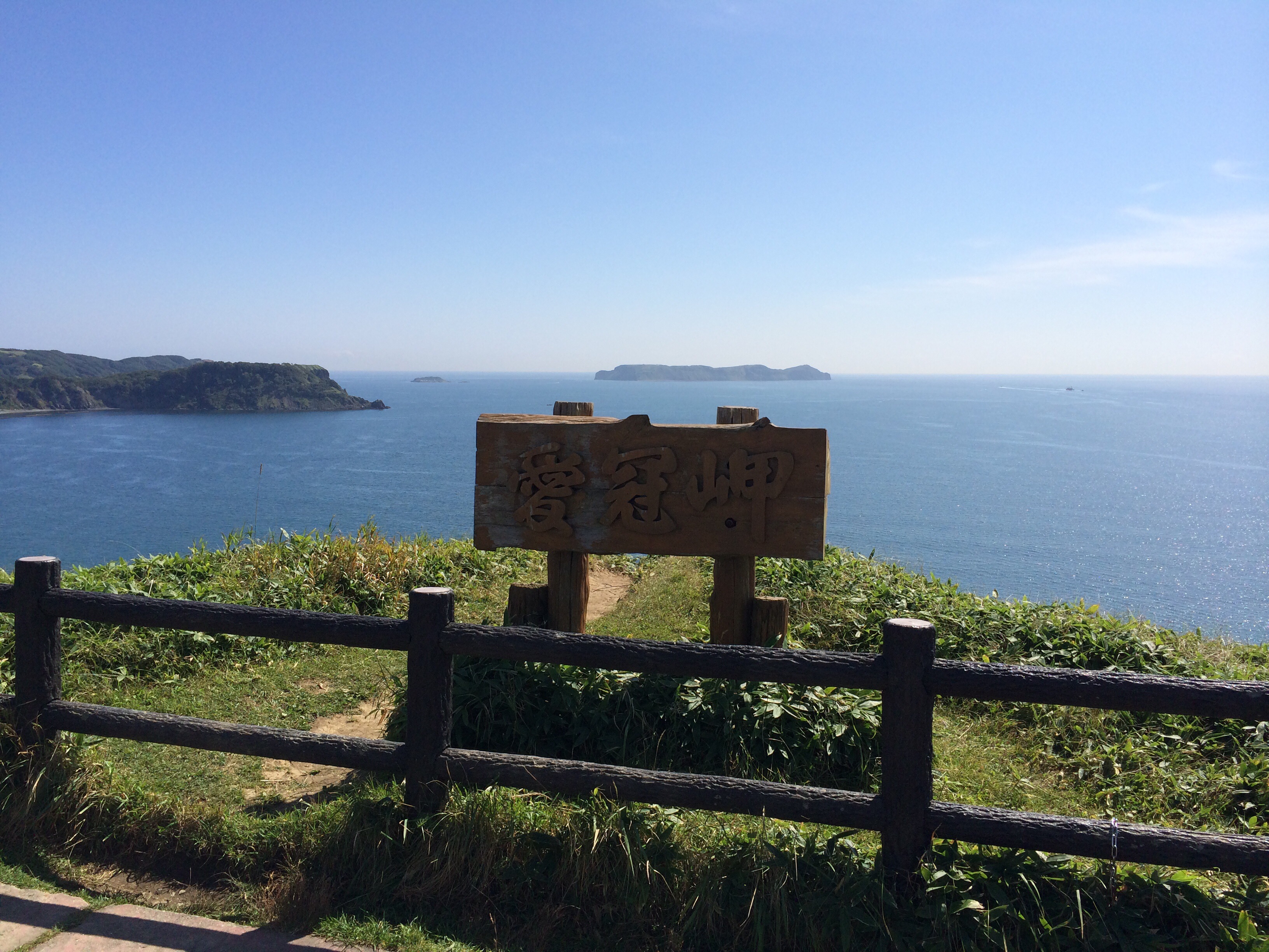
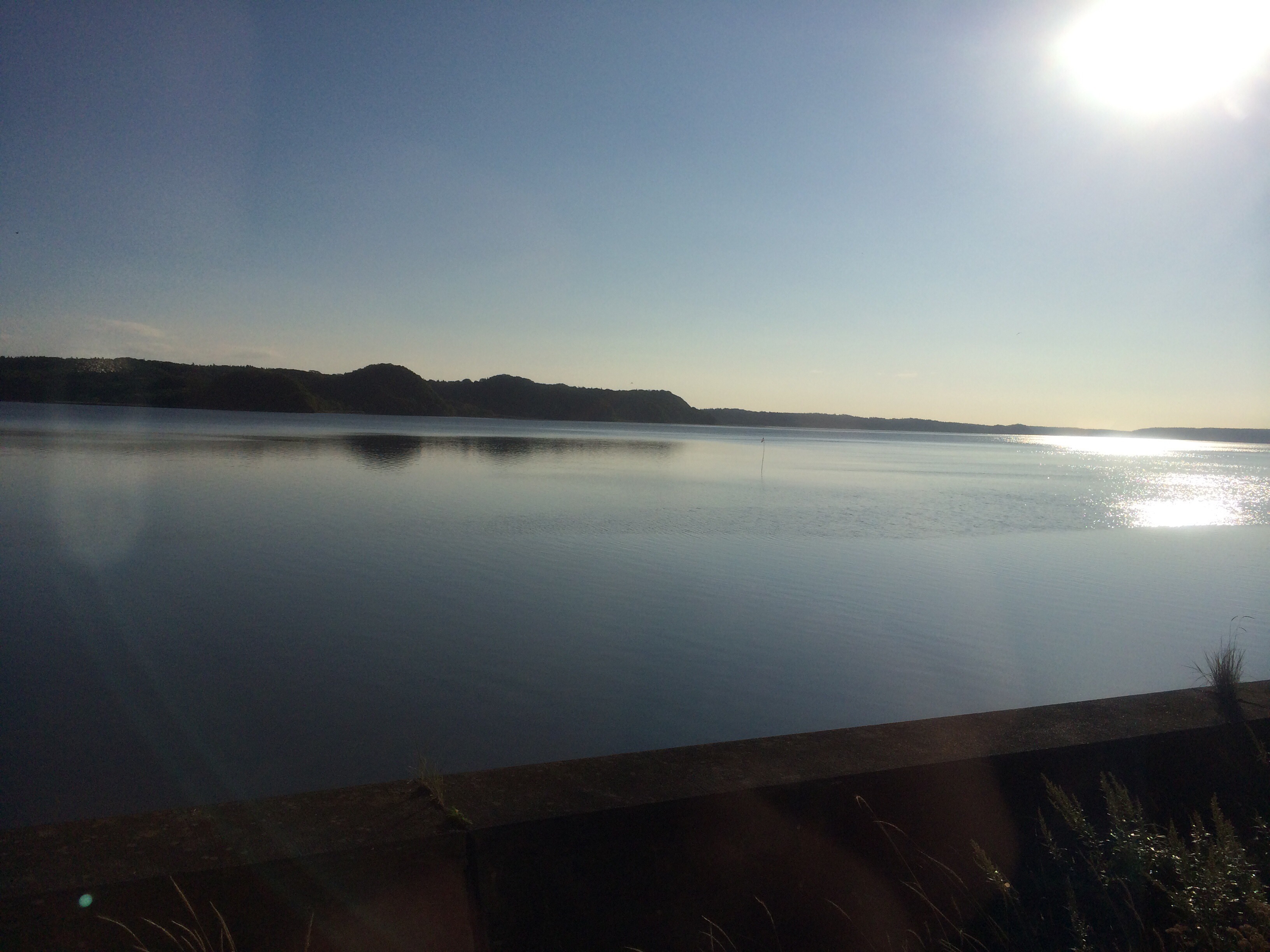
愛冠岬なう
花咲線車窓から
花咲線車窓から
厚岸
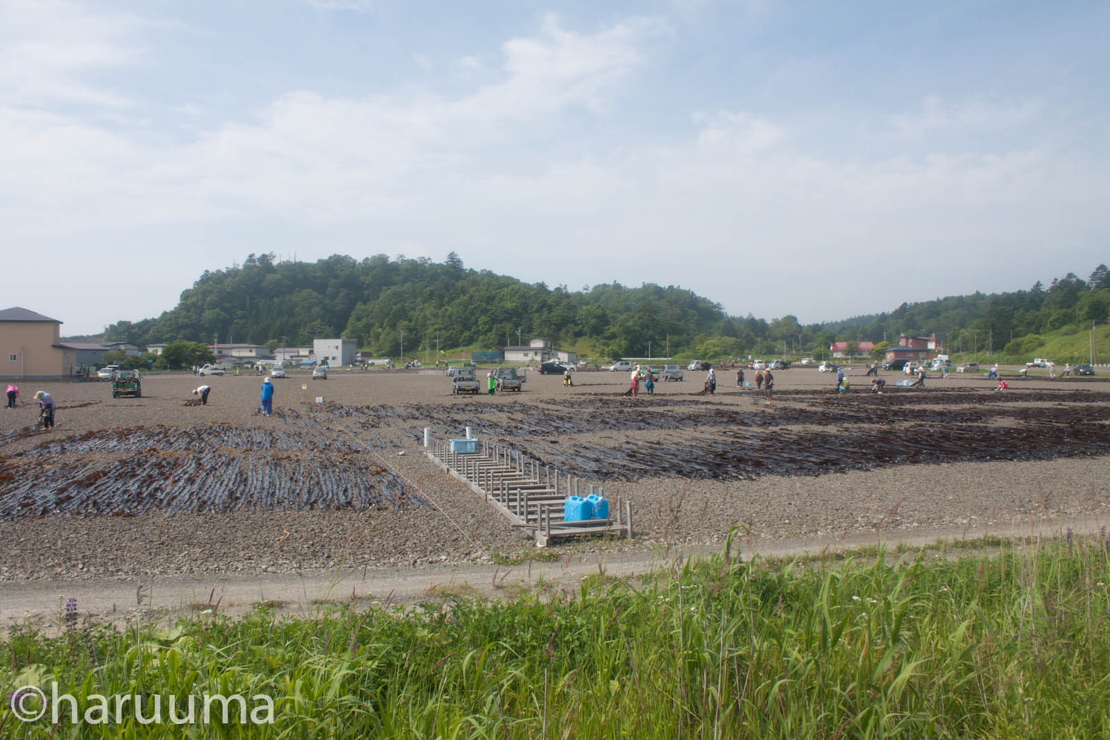
厚岸グルメパークからの眺め
花咲線車窓から
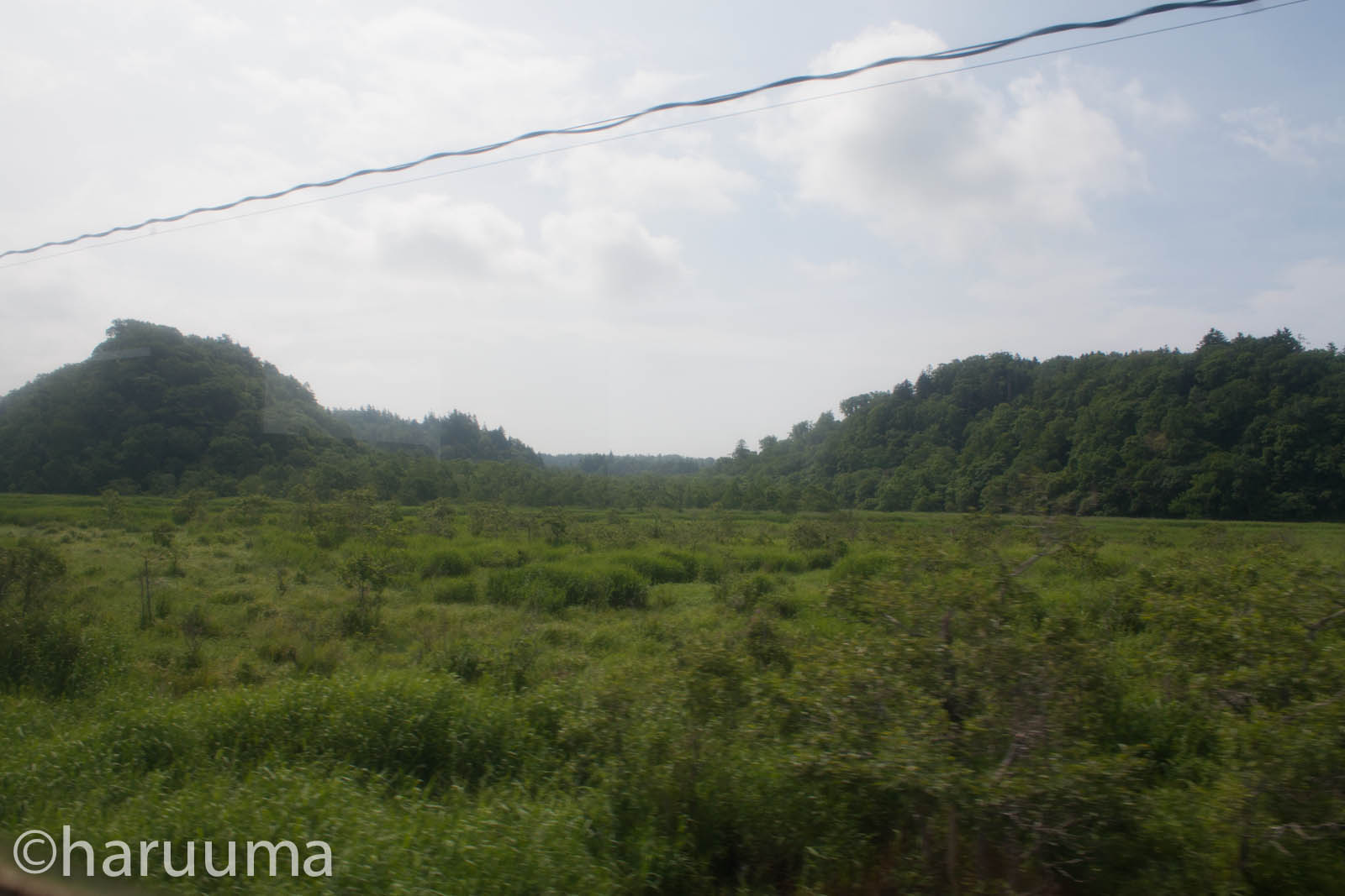
花咲線車窓から
Topographic Map of Akkeshi District, Hokkaido Prefecture, Japan
Find elevation by address:

Places in Akkeshi District, Hokkaido Prefecture, Japan:
Places near Akkeshi District, Hokkaido Prefecture, Japan:
Akkeshi
3 Sen-60 Hamanakahigashi, Hamanaka-chō, Akkeshi-gun, Hokkaidō -, Japan
Hamanaka
38 Toyohara, Betsukai-chō, Notsuke-gun, Hokkaidō -, Japan
Notsuke District
Betsukai
Nakashibetsu
2 Chome-22 Maruyama, Nakashibetsu-chō, Shibetsu-gun, Hokkaidō -, Japan
5 Hyōchū, Nakashibetsu-chō, Shibetsu-gun, Hokkaidō -, Japan
Tōbai, Nemuro-shi, Hokkaidō -, Japan
11-9 Hamamatsu, Nemuro-shi, Hokkaidō -, Japan
Nishiwada, Nemuro-shi, Hokkaidō -, Japan
4 Chome- Hōrinchō, Nemuro-shi, Hokkaidō -, Japan
Nemuro
Tomoshiri, Nemuro-shi, Hokkaidō -, Japan
3 Chome-5 Goyōmai, Nemuro-shi, Hokkaidō -, Japan
Recent Searches:
- Elevation of Corso Fratelli Cairoli, 35, Macerata MC, Italy
- Elevation of Tallevast Rd, Sarasota, FL, USA
- Elevation of 4th St E, Sonoma, CA, USA
- Elevation of Black Hollow Rd, Pennsdale, PA, USA
- Elevation of Oakland Ave, Williamsport, PA, USA
- Elevation of Pedrógão Grande, Portugal
- Elevation of Klee Dr, Martinsburg, WV, USA
- Elevation of Via Roma, Pieranica CR, Italy
- Elevation of Tavkvetili Mountain, Georgia
- Elevation of Hartfords Bluff Cir, Mt Pleasant, SC, USA