Elevation of Nahunta, GA, USA
Location: United States > Georgia > Brantley County >
Longitude: -81.981226
Latitude: 31.20439
Elevation: 20m / 66feet
Barometric Pressure: 101KPa
Elevation Map:
Satellite Map:
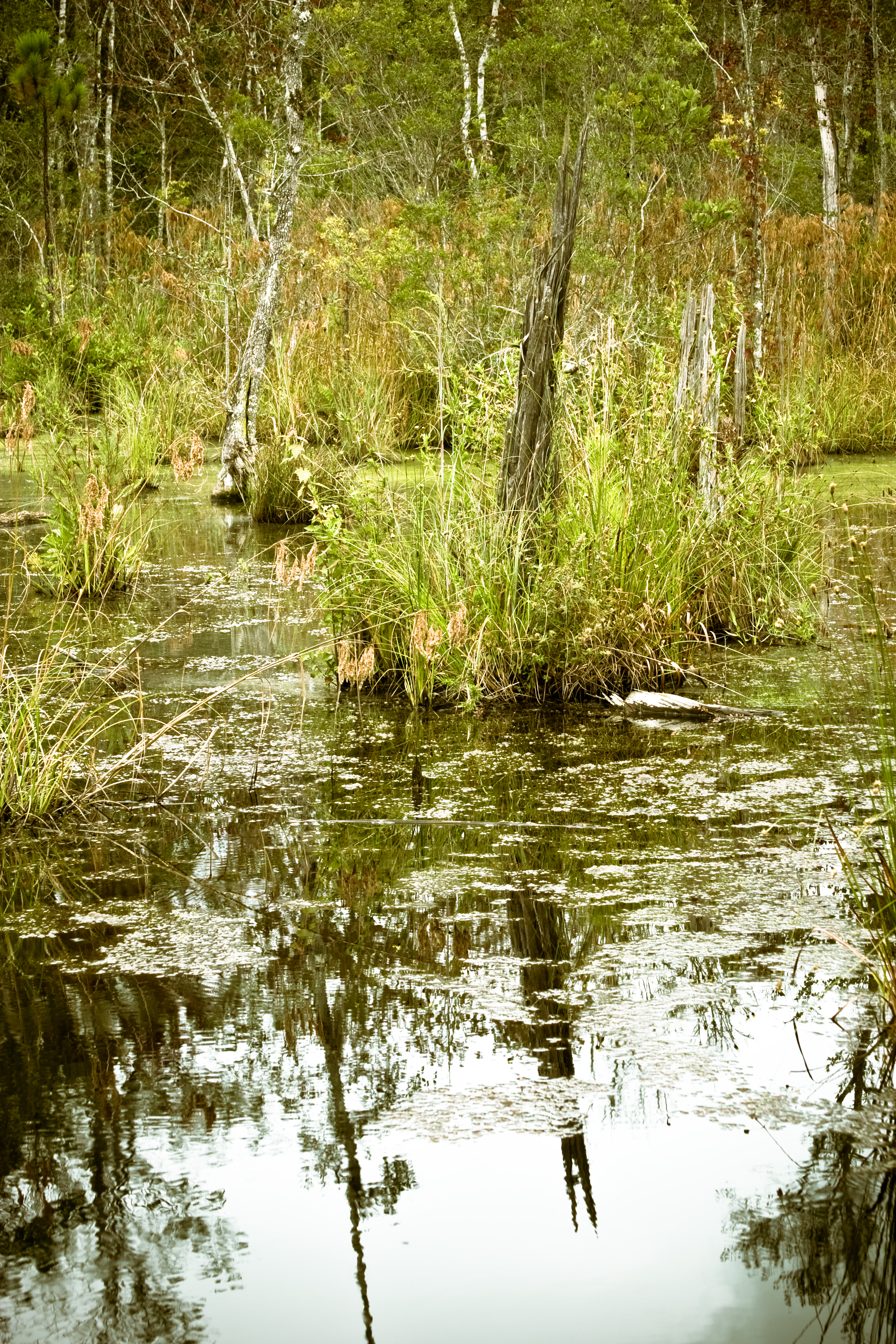
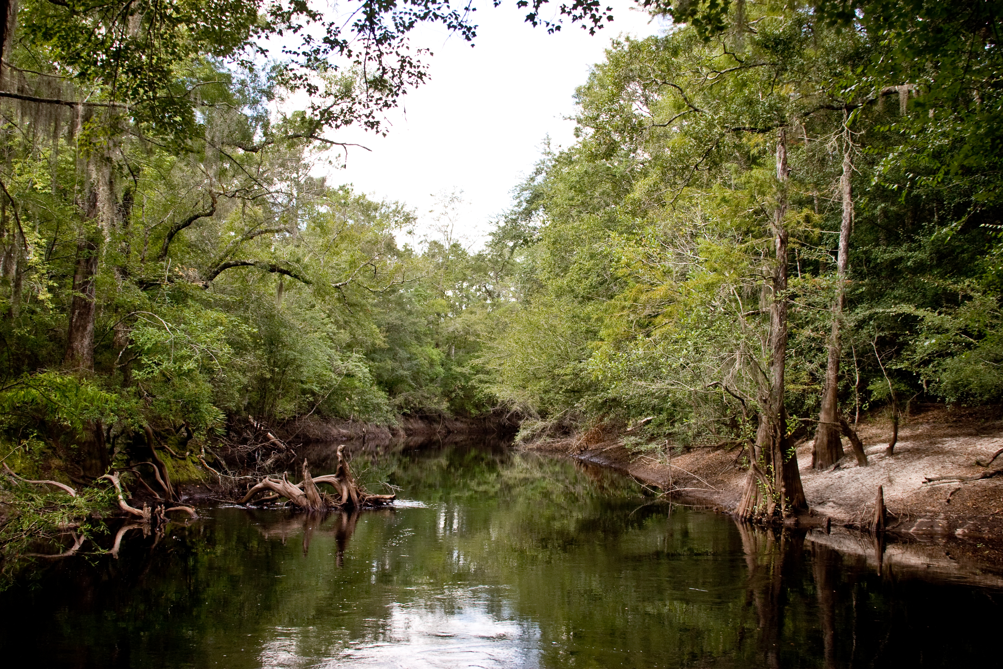
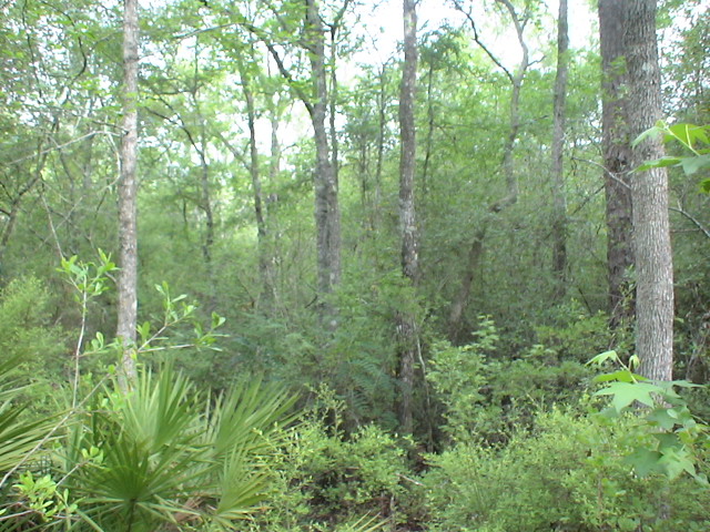
Related Photos:

Regular/Irregular

Nahunta_GA-140

Nahunta_GA-108
Nahunta_GA-145

Dark Passages
Nahunta_GA-54

Satilla River

Brantley 140 boat ramp
Brantley 140 transition

Brantley 140 acres
Topographic Map of Nahunta, GA, USA
Find elevation by address:

Places in Nahunta, GA, USA:
County Rd, Nahunta, GA, USA
Raybon Rd W, Nahunta, GA, USA
Raybon Rd E, Nahunta, GA, USA
Nahunta, GA, USA
Places near Nahunta, GA, USA:
7618 Britt Still Rd
222 Cotton Row
Nahunta, GA, USA
Brantley County
Raybon Rd W, Nahunta, GA, USA
6086 Caney Bay Rd
Raybon Rd E, Nahunta, GA, USA
255 Harvest Rd
County Rd, Nahunta, GA, USA
17583 Rd 230
5110 Taylor Rd
Satilla River
Atkinson
GA-, Hortense, GA, USA
13 Happy Landing Rd, Waynesville, GA, USA
Fort Mcintosh Loop
Hortense
67 4th Ave
75 Mcintosh Trail
Brushy Creek Road
Recent Searches:
- Elevation of Corso Fratelli Cairoli, 35, Macerata MC, Italy
- Elevation of Tallevast Rd, Sarasota, FL, USA
- Elevation of 4th St E, Sonoma, CA, USA
- Elevation of Black Hollow Rd, Pennsdale, PA, USA
- Elevation of Oakland Ave, Williamsport, PA, USA
- Elevation of Pedrógão Grande, Portugal
- Elevation of Klee Dr, Martinsburg, WV, USA
- Elevation of Via Roma, Pieranica CR, Italy
- Elevation of Tavkvetili Mountain, Georgia
- Elevation of Hartfords Bluff Cir, Mt Pleasant, SC, USA