Elevation of Harvest Rd, Nahunta, GA, USA
Location: United States > Georgia > Brantley County > Nahunta >
Longitude: -81.895602
Latitude: 31.1778261
Elevation: 19m / 62feet
Barometric Pressure: 101KPa
Elevation Map:
Satellite Map:
Related Photos:

Regular/Irregular

Dark Passages

Satilla River

Nahunta_GA-54

Nahunta_GA-108

Nahunta_GA-145

Nahunta_GA-140
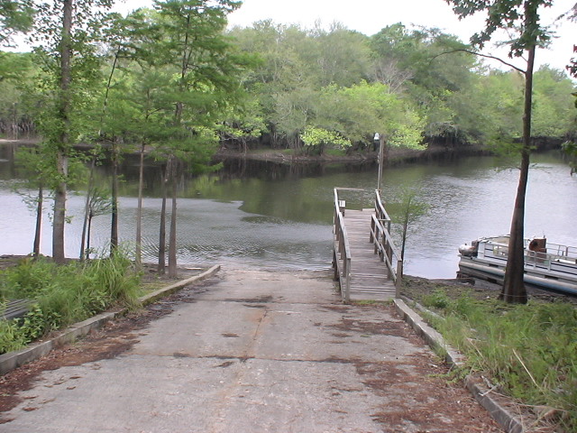
Brantley 140 boat ramp
Brantley 140 transition

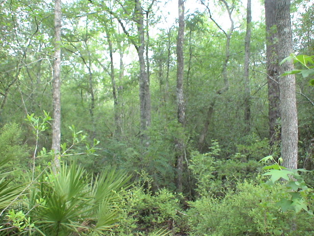
Brantley 140 acres
Topographic Map of Harvest Rd, Nahunta, GA, USA
Find elevation by address:

Places near Harvest Rd, Nahunta, GA, USA:
Raybon Rd E, Nahunta, GA, USA
13 Happy Landing Rd, Waynesville, GA, USA
67 4th Ave
Atkinson
GA-, Hortense, GA, USA
Brushy Creek Road
75 Mcintosh Trail
Fort Mcintosh Loop
266 Kings Bay Rd
Coffee County Club Road
64 GA-, Waynesville, GA, USA
343 Coffee County Club Rd
Joseph Wiggins Rd, Waynesville, GA, USA
Waynesville
6716 Browntown Rd
Mineral Springs Road
56 Whisper Ridge Loop
130 Drury Rd
701 Frazier Rd
5344 E Glynn Ave
Recent Searches:
- Elevation of Corso Fratelli Cairoli, 35, Macerata MC, Italy
- Elevation of Tallevast Rd, Sarasota, FL, USA
- Elevation of 4th St E, Sonoma, CA, USA
- Elevation of Black Hollow Rd, Pennsdale, PA, USA
- Elevation of Oakland Ave, Williamsport, PA, USA
- Elevation of Pedrógão Grande, Portugal
- Elevation of Klee Dr, Martinsburg, WV, USA
- Elevation of Via Roma, Pieranica CR, Italy
- Elevation of Tavkvetili Mountain, Georgia
- Elevation of Hartfords Bluff Cir, Mt Pleasant, SC, USA