Elevation of Cotton Row, Nahunta, GA, USA
Location: United States > Georgia > Brantley County > Nahunta >
Longitude: -82.004461
Latitude: 31.1560546
Elevation: 19m / 62feet
Barometric Pressure: 0KPa
Related Photos:

Regular/Irregular

Nahunta_GA-54

Nahunta_GA-108

Nahunta_GA-145

Satilla River

Nahunta_GA-140
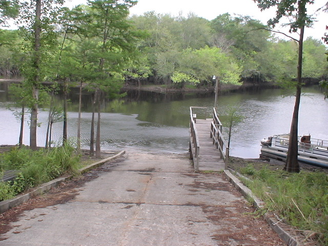
Brantley 140 boat ramp
Brantley 140 transition

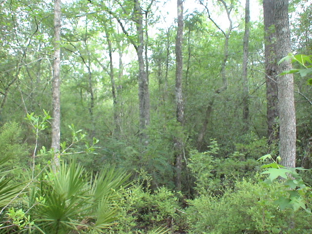
Brantley 140 acres

Dark Passages
Topographic Map of Cotton Row, Nahunta, GA, USA
Find elevation by address:

Places near Cotton Row, Nahunta, GA, USA:
Nahunta, GA, USA
Brantley County
7618 Britt Still Rd
6086 Caney Bay Rd
Nahunta
Raybon Rd W, Nahunta, GA, USA
255 Harvest Rd
Satilla River
US-, Folkston, GA, USA
Raybon Rd E, Nahunta, GA, USA
Hoboken
Brantley Ave, Hoboken, GA, USA
67 4th Ave
County Rd, Nahunta, GA, USA
13 Happy Landing Rd, Waynesville, GA, USA
5110 Taylor Rd
17583 Rd 230
Atkinson
GA-, Hortense, GA, USA
Brushy Creek Road
Recent Searches:
- Elevation map of Greenland, Greenland
- Elevation of Sullivan Hill, New York, New York, 10002, USA
- Elevation of Morehead Road, Withrow Downs, Charlotte, Mecklenburg County, North Carolina, 28262, USA
- Elevation of 2800, Morehead Road, Withrow Downs, Charlotte, Mecklenburg County, North Carolina, 28262, USA
- Elevation of Yangbi Yi Autonomous County, Yunnan, China
- Elevation of Pingpo, Yangbi Yi Autonomous County, Yunnan, China
- Elevation of Mount Malong, Pingpo, Yangbi Yi Autonomous County, Yunnan, China
- Elevation map of Yongping County, Yunnan, China
- Elevation of North 8th Street, Palatka, Putnam County, Florida, 32177, USA
- Elevation of 107, Big Apple Road, East Palatka, Putnam County, Florida, 32131, USA
- Elevation of Jiezi, Chongzhou City, Sichuan, China
- Elevation of Chongzhou City, Sichuan, China
- Elevation of Huaiyuan, Chongzhou City, Sichuan, China
- Elevation of Qingxia, Chengdu, Sichuan, China
- Elevation of Corso Fratelli Cairoli, 35, Macerata MC, Italy
- Elevation of Tallevast Rd, Sarasota, FL, USA
- Elevation of 4th St E, Sonoma, CA, USA
- Elevation of Black Hollow Rd, Pennsdale, PA, USA
- Elevation of Oakland Ave, Williamsport, PA, USA
- Elevation of Pedrógão Grande, Portugal