Elevation of N Sedgwick Rd, Sedgwick, ME, USA
Location: United States > Maine > Hancock County > Sedgwick >
Longitude: -68.59332
Latitude: 44.3329719
Elevation: 18m / 59feet
Barometric Pressure: 101KPa
Elevation Map:
Satellite Map:
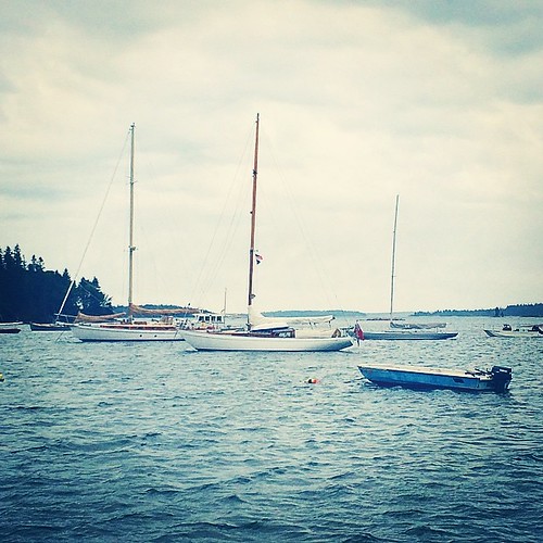
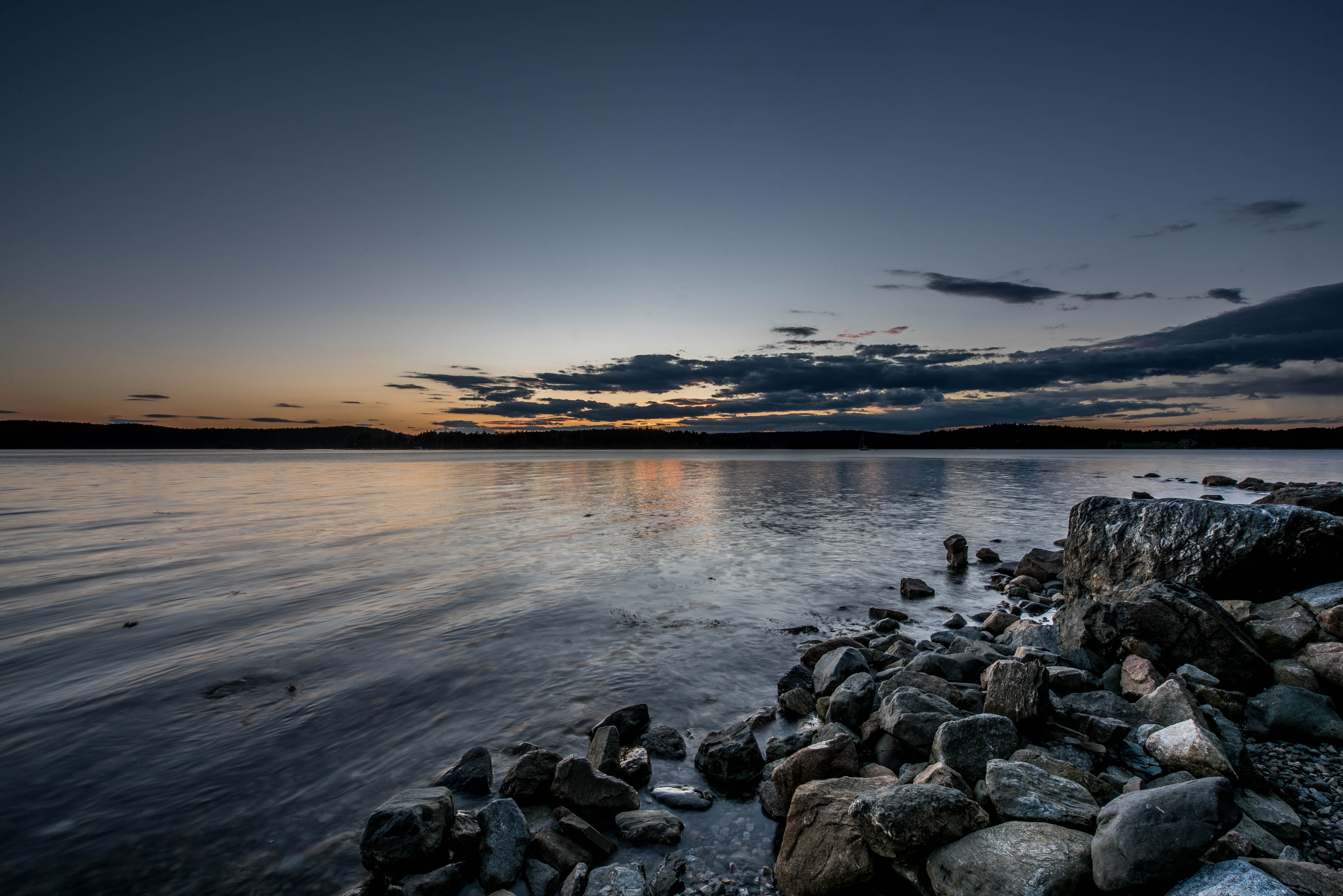
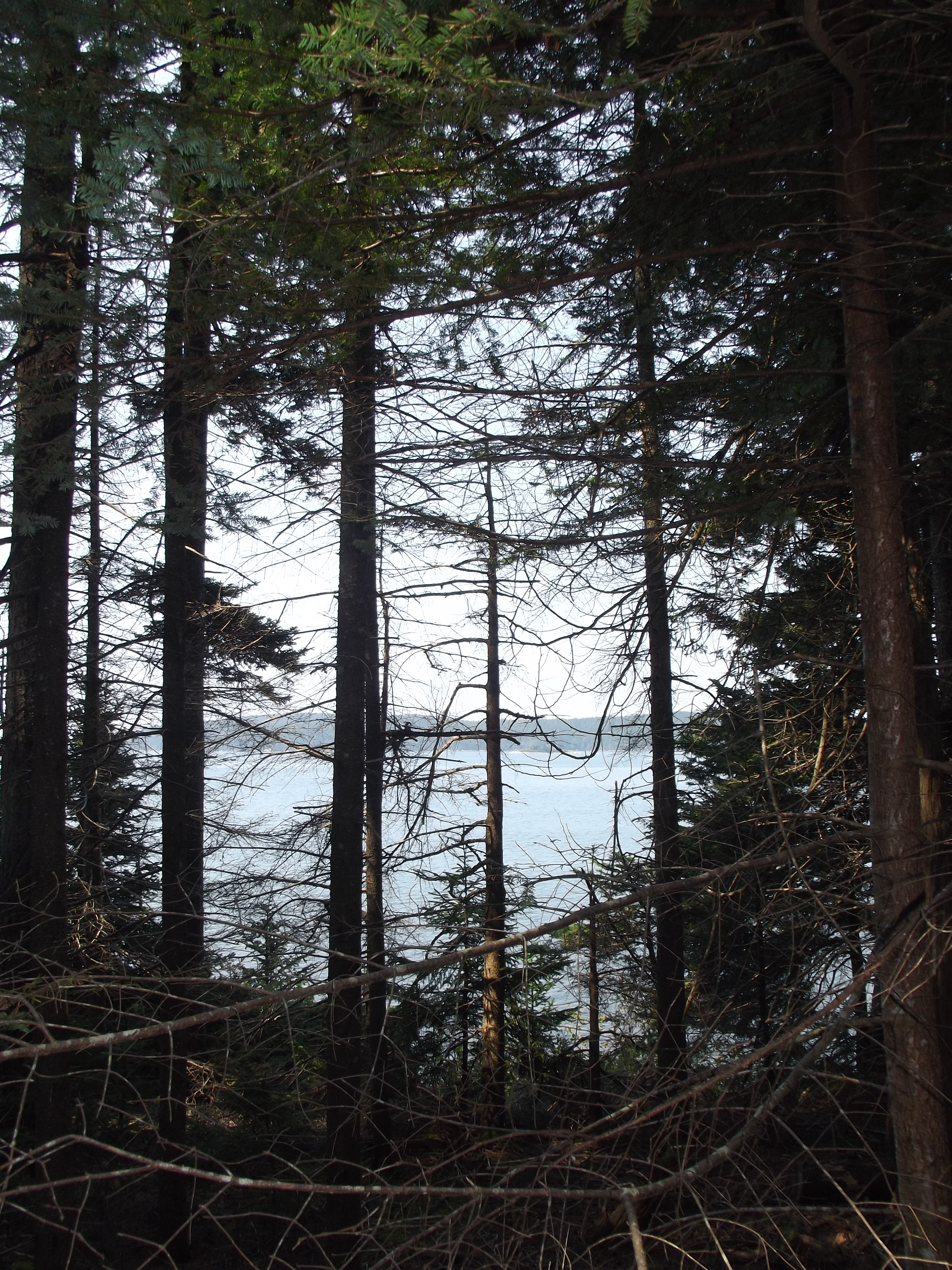
Related Photos:

View from Caterpillar Hill

Aerial View of Deer Isle, Maine

Aerial View (1) of the Deer Isle - Sedgwick Bridge

Aerial View of Little Deer Isle and the Deer Isle - Sedgwick Bridge

IMG_6520.jpg

View from Big Hay Island

Blue Hill Light

View from Pretty Marsh Cabin

Foggy view

Dock View

View of Harbor and Sellers Islands from Hogg Island, Brooklin, Maine 2007

IMG_6526.jpg

The Camden Hills

Foggy view

Foggy view

Deck View
In port and our view. Waiting for rain and storm. May be here next twenty four hours. Time to figure out how to relax.

Sausage at the Fair

IMG_6537-2.jpg

Window View

Foggy view
Pretty Marsh Harbor - Acadia National Park

roller coaster

Star Trails over Deer Isle 7482

Star Trails in Maine

Blue Hill Bay Lighthouse, near Brooklin, Maine

Milky Way Over Curtis Cove

Thresholds - Little Deer Isle ME 20090720 550

Pretty Marsh Sunset

(drive) ... on the water
Pretty Marsh, Acadia National Park, Maine

Tide going out

Turbulent Skies

Shore and islands

Pretty Marsh Shoreline, Acadia National Park, Maine

scenic inlet

Sunshine road

DSC_6874-Edit.jpg

Thresholds sunset - Little Deer Isle ME 20090721 066

Thresholds sunset - Little Deer Isle ME 20090711 034
Topographic Map of N Sedgwick Rd, Sedgwick, ME, USA
Find elevation by address:

Places near N Sedgwick Rd, Sedgwick, ME, USA:
North Sedgwick Road
607 Me-172
607 Me-172
924 Bay Rd
32 Sea Spray Ln
684 Falls Bridge Rd
Sedgwick
886 Reach Rd
71 Schooner Ln
Hawkhurst Lane
116 Reach Rd
116 Reach Rd
116 Reach Rd
116 Reach Rd
Cabin Cove
Old County Road
419 South St
308 Reach Rd
308 Reach Rd
42 Larchwood Ln
Recent Searches:
- Elevation of Corso Fratelli Cairoli, 35, Macerata MC, Italy
- Elevation of Tallevast Rd, Sarasota, FL, USA
- Elevation of 4th St E, Sonoma, CA, USA
- Elevation of Black Hollow Rd, Pennsdale, PA, USA
- Elevation of Oakland Ave, Williamsport, PA, USA
- Elevation of Pedrógão Grande, Portugal
- Elevation of Klee Dr, Martinsburg, WV, USA
- Elevation of Via Roma, Pieranica CR, Italy
- Elevation of Tavkvetili Mountain, Georgia
- Elevation of Hartfords Bluff Cir, Mt Pleasant, SC, USA