Elevation of 71 Schooner Ln, Brooklin, ME, USA

Location: United States > Maine > Hancock County > Brooklin >

Longitude: -68.563250

Latitude: 44.3033778

Elevation: 25m / 82feet

Barometric Pressure: 101KPa

Elevation Map:

elevation map of 71 Schooner Ln, Brooklin, ME, USA
Satellite Map:

Satellite map of 71 Schooner Ln, Brooklin, ME, USA
Related Photos:

lighthouse forsale view maine aerial restored getty historical greenisland automated penobscotbay hancockcounty bluehillbay august2011 bluehilllight
Blue Hill Light
maine aerial finepix fujifilm deerisle stonington penobscotislandair s9600 s9100 lighthouseweekend lighthouseday chipsfolio
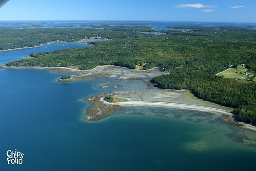
Aerial View of Deer Isle, Maine
bridge suspension maine aerial finepix fujifilm deerisle stonington penobscotislandair s9600 s9100 lighthouseweekend lighthouseday chipsfolio
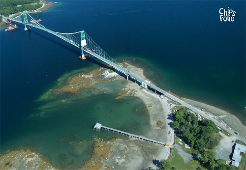
Aerial View (1) of the Deer Isle - Sedgwick Bridge
bridge suspension maine aerial finepix fujifilm deerisle stonington eggemoggin littledeerisle penobscotislandair s9600 s9100 lighthouseweekend lighthouseday chipsfolio
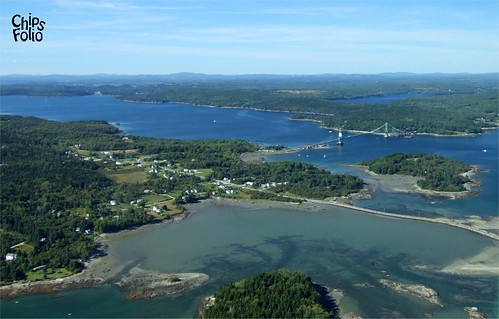
Aerial View of Little Deer Isle and the Deer Isle - Sedgwick Bridge
Brooksville Events 3d Cross Eye View
ocean sea clouds sunrise dawn coast nikon rocks maine sigma moe 1020mm brooklin d300 abigfave moe76
good morning
ocean blue lighthouse sunrise bay nikon rocks hill maine moe brooklin hdr seasmoke d300 sigma1020mm 5xp naskeag moe76
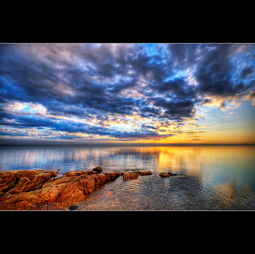
Brooklin Dawn
vacation maine barharbor mountdesertisland
View from Pretty Marsh Cabin
View from Big Hay Island
trees forest coast maine barharbor mountdesertisland
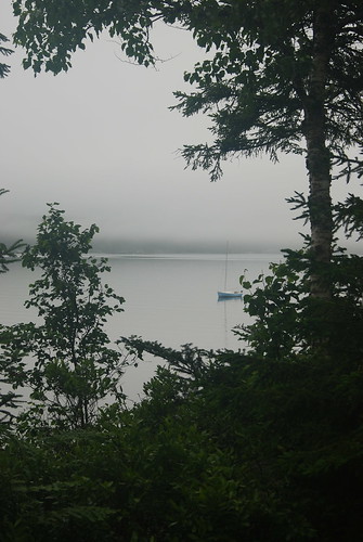
Foggy view
maine
R_20090831181356_162-Edit
clouds unitedstates maine acadia mountdesert mountdesertisland pwpartlycloudy
IMG_6520.jpg
ocean light sea coastguard usa lighthouse water stone america port island bay coast harbor rocks lighthouses waterfront stones tide maine newengland boulder atlantic boulders american shore granite barnacles hafen tidal deerisle leuchtturm vacationland barnacle uscg penobscotbay uscoastguard bluehill mainelighthouse flye the4elements flyepoint bluehillbaylight davensuze
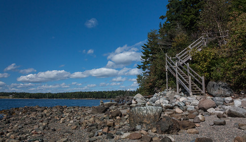
The low tide walkway to the Flye Point Lighthouse (AKA Blue Hill Bay Light)
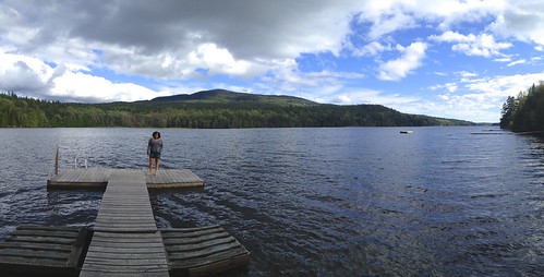
Dock View
day unitedstates maine acadia mountdesert mountdesertisland pwpartlycloudy
IMG_6526.jpg
island maine granite lichen brookllin
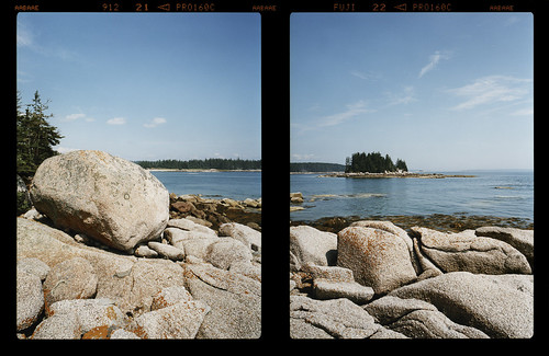
View of Harbor and Sellers Islands from Hogg Island, Brooklin, Maine 2007
maine bluehillfair
Sausage at the Fair
trees forest coast maine barharbor mountdesertisland
Foggy view
trees forest coast maine barharbor mountdesertisland
Foggy view
ocean blue trees maine calm atlanticocean mountdesertisland prettymarsh dirigo bartlettnarrows dirigo2008 bartlettisland
View from Dirigo to Bartlett Island
maine
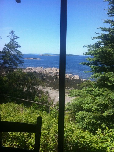
the view from the sleeping porch
moon stars nikon super startrails eastbluehillmaine nikkor1424
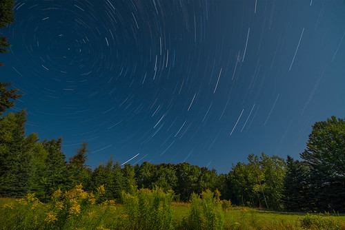
Star Trails in Maine
sky water clouds sunrise landscape dawn coast boat rocks maine atlantic canoe coastal deerisle nikcolorefexpro easternmaine topazadjust nikdfine20 reflectionslovers nikviveza2
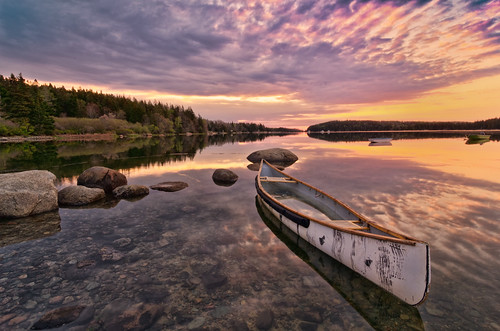
Marriner's Park at Dawn
140240mmf28 nikond810 nikon prettymarsh acadianationalpark summer landscape sunset color
Pretty Marsh Harbor - Acadia National Park
clouds harbor blue sky trees landscape
The Mill Stream and Harbor
sky night farmhouse stars star farm maine nighttime deerisle startrails nikcolorefexpro topazadjust topazdenoise
Star Trails over Deer Isle 7482
summer maine maine2006
IMG_3793.jpg
longexposure sunset sky beach colors clouds reflections pretty stones maine slowshutter marsh algae
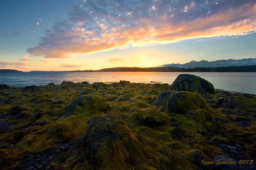
Pretty Marsh Sunset
summer maine maine2006
IMG_3794.jpg
summer maine maine2006
IMG_3795.jpg
maine
Man & the Sea
Thresholds sunset - Little Deer Isle ME 20090721 064
Thresholds sunset - Little Deer Isle ME 20090721 066
Almost Gone
Thresholds sunset - Little Deer Isle ME 20090711 036
Thresholds sunset - Little Deer Isle ME 20090711 051
Thresholds sunset - Little Deer Isle ME 20090711 034
summer maine maine2006
IMG_3792.jpg
maine
Blue Hill Mountain
Thresholds sunset - Little Deer Isle ME 20090711 050
Thresholds sunset - Little Deer Isle ME 20090711 055