Elevation of N rd Ave W, Collins, IA, USA
Location: United States > Iowa > Jasper County > Clear Creek >
Longitude: -93.266949
Latitude: 41.842693
Elevation: 292m / 958feet
Barometric Pressure: 98KPa
Elevation Map:
Satellite Map:
Related Photos:
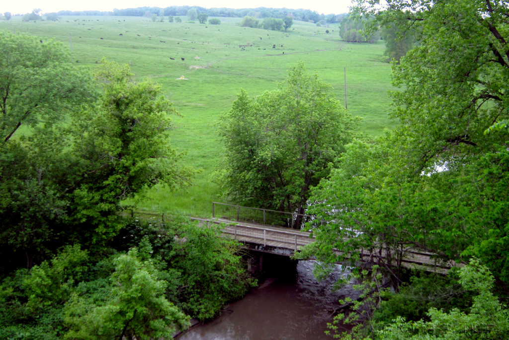
view from Hoy Bridge
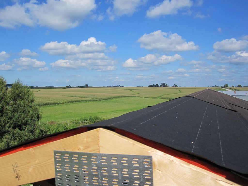
MD 181 (2010-Aug-14): View From the Top
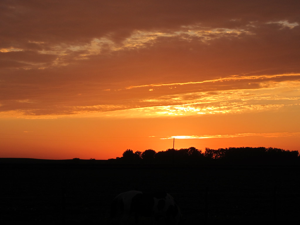
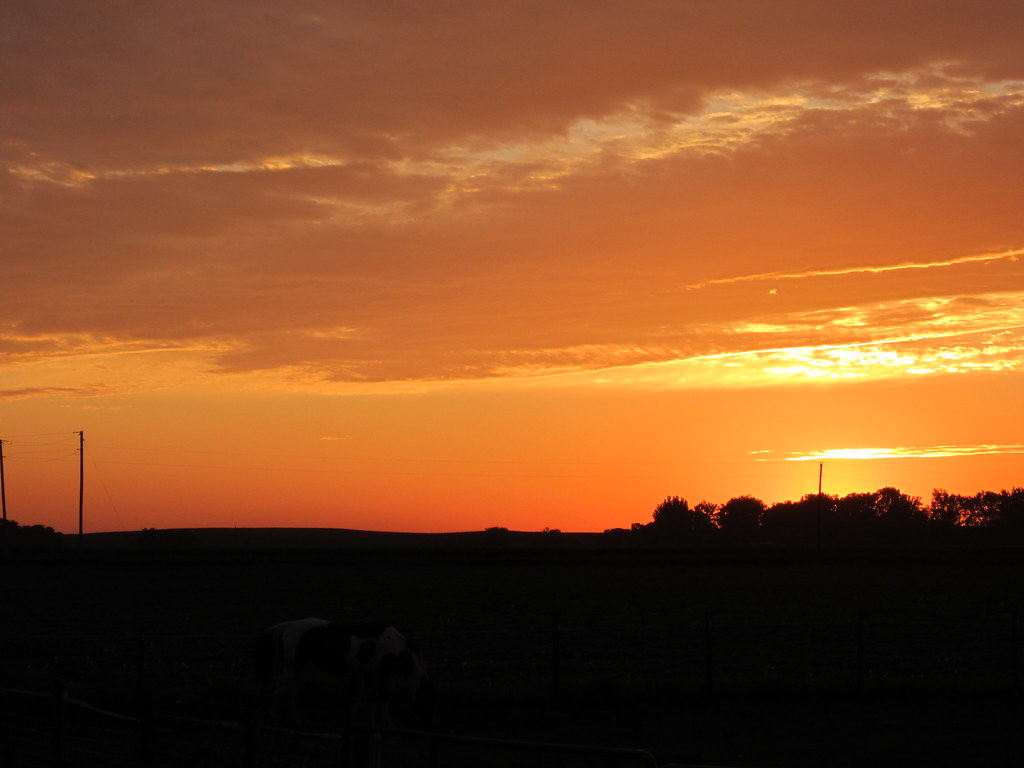
Iowa Sunset
IMG_19028.JPG
Iowa Sunset

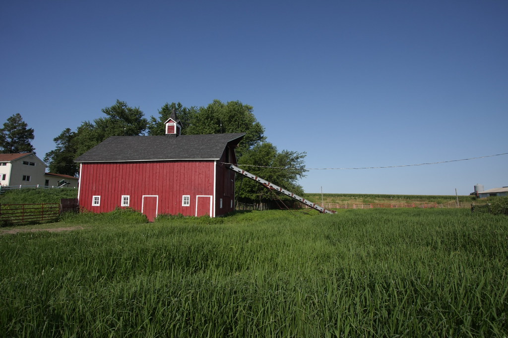
Ashton Wildwood Praire

September 7 2012
IMG_19013.JPG
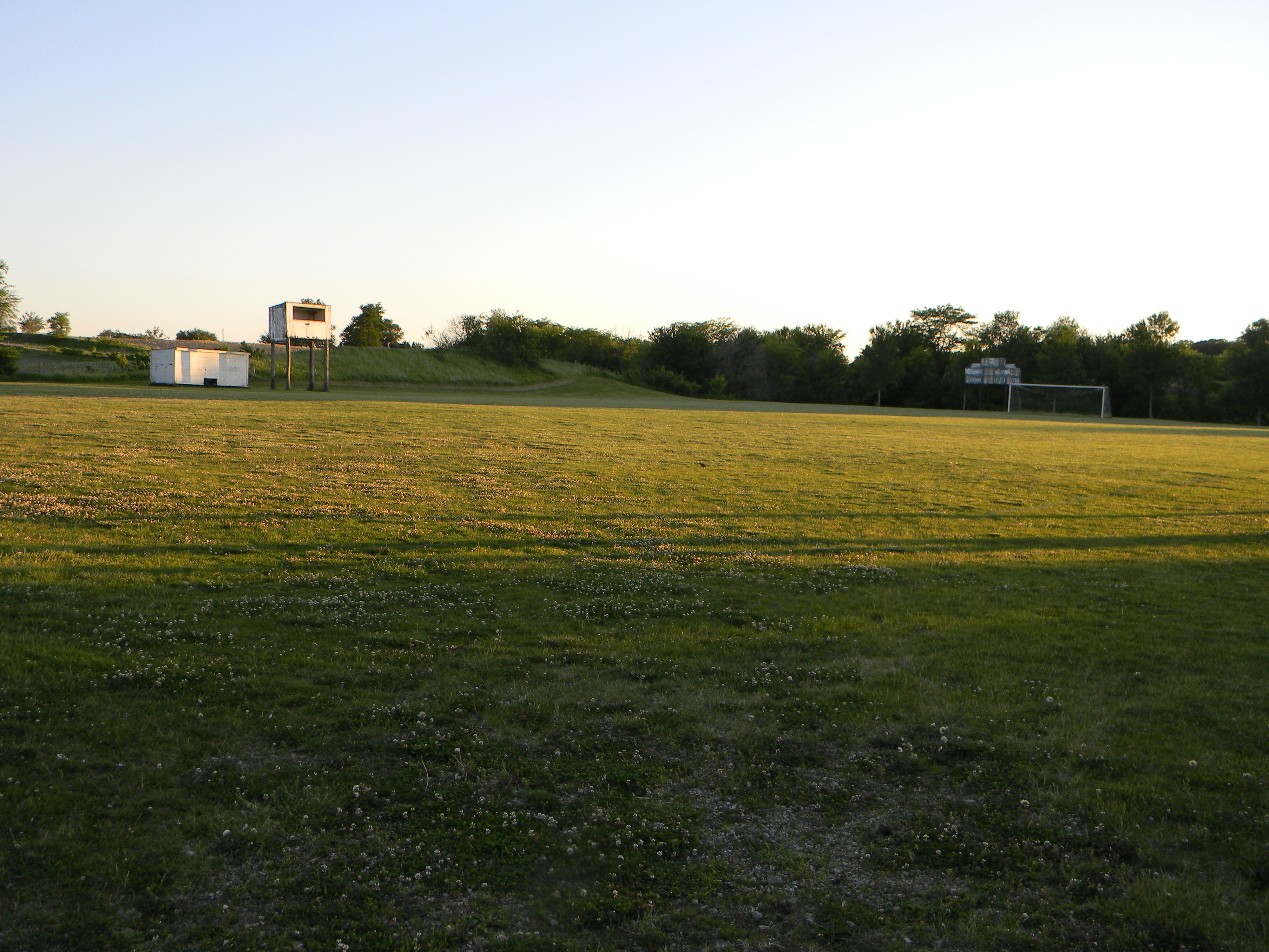
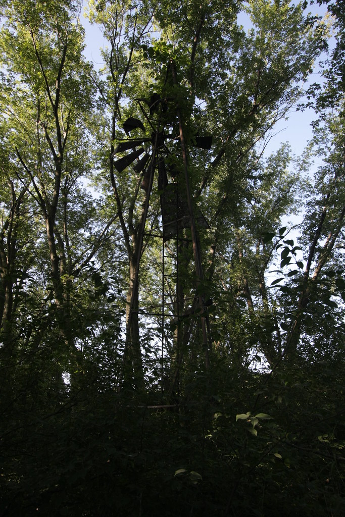
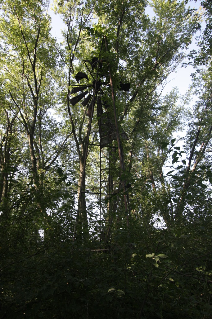
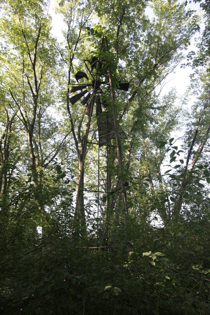
Abandoned High School Football Field, Mingo, Iowa
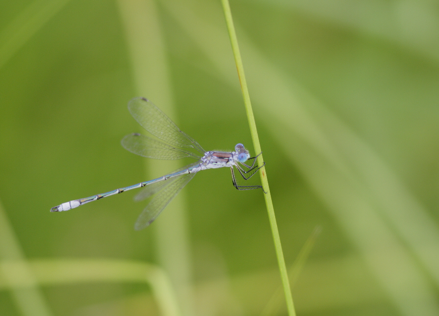
unidentified spreadwing (Lestes sp.)

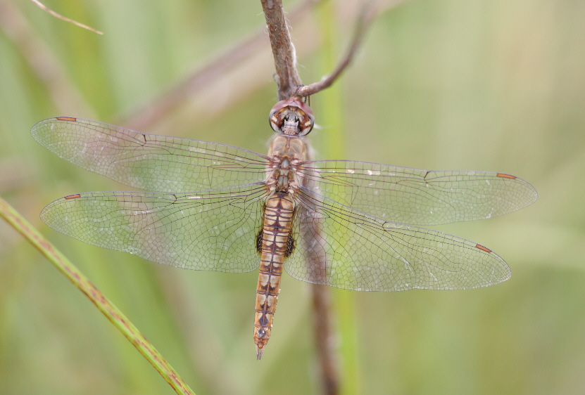
Dot-tailed Whiteface (Leucorrhinia intacta)
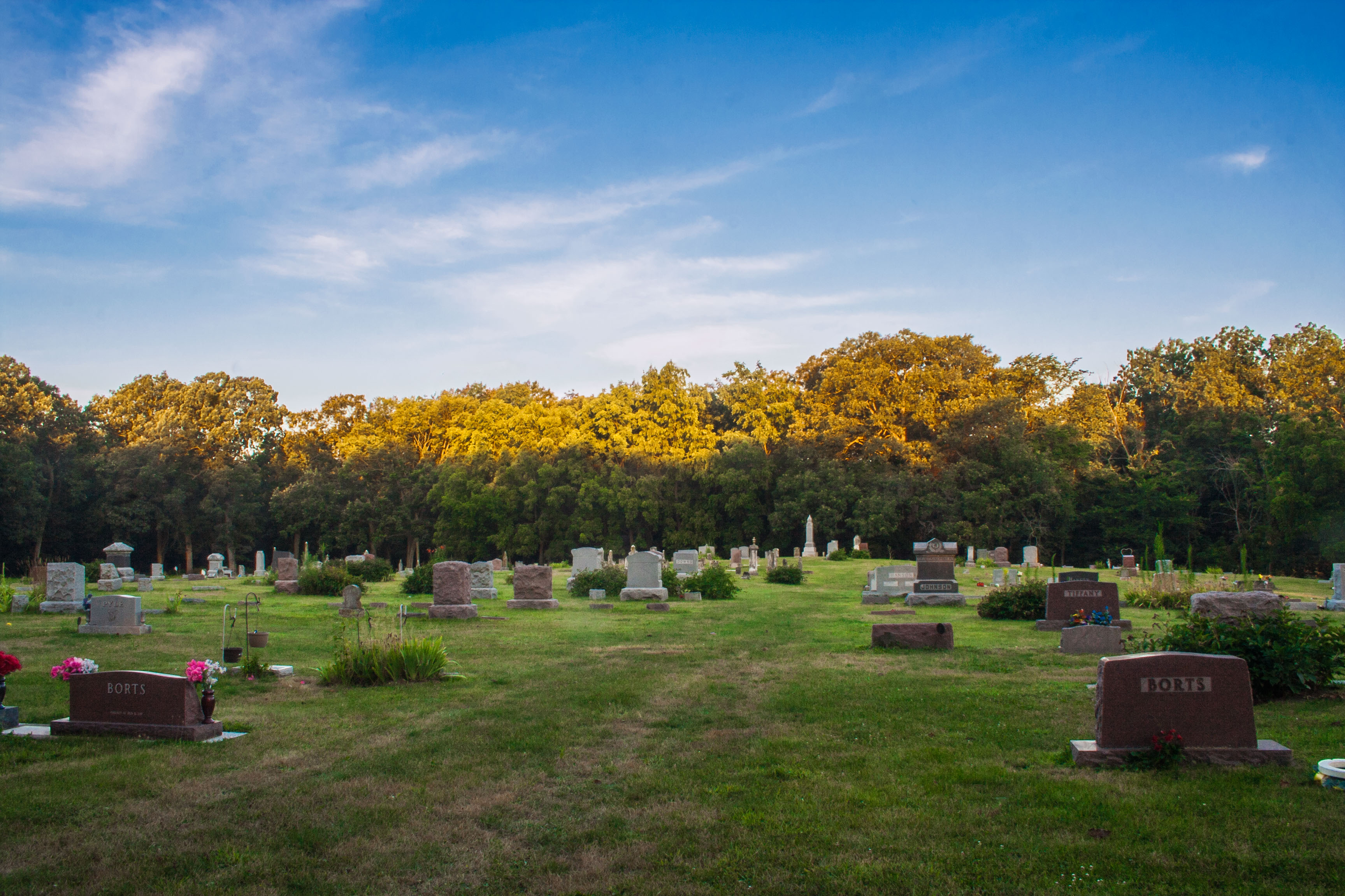
Ashton Cemetery
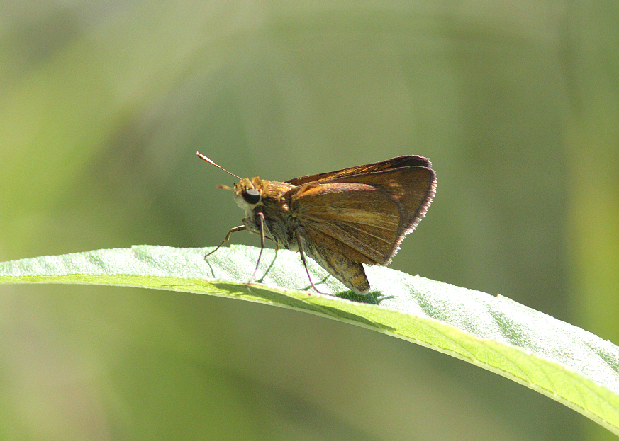
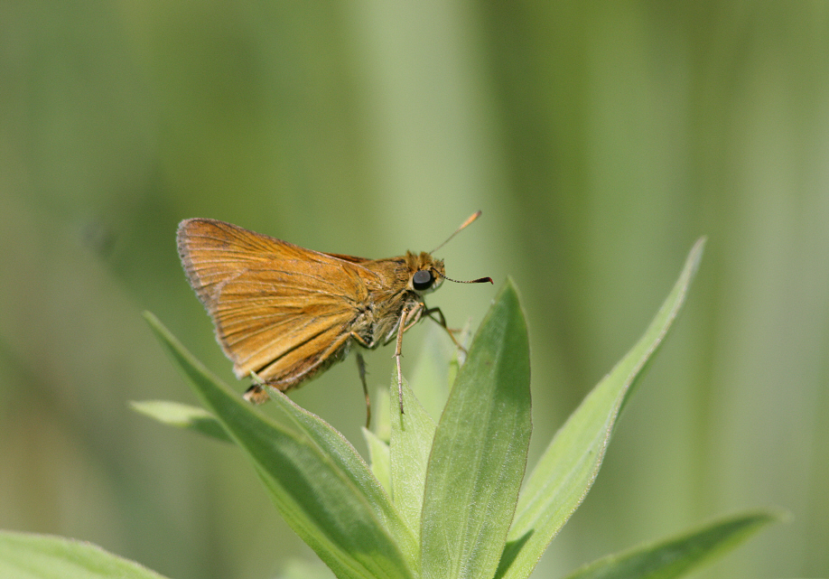
Dion Skipper (Euphyes dion)
Spot-winged Glider (Pantala hymenaea)

Promachus vertebratus

Black Dash (Euphyes conspicua)
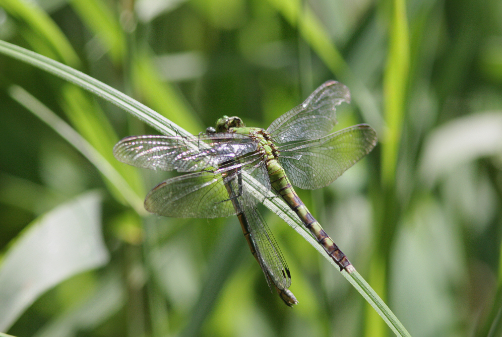
Eastern Pondhawk (Erythemis simplicicollis)
IMG_19019.JPG
IMG_19018.JPG
IMG_19020.JPG

Dickcissel (Spiza americana)
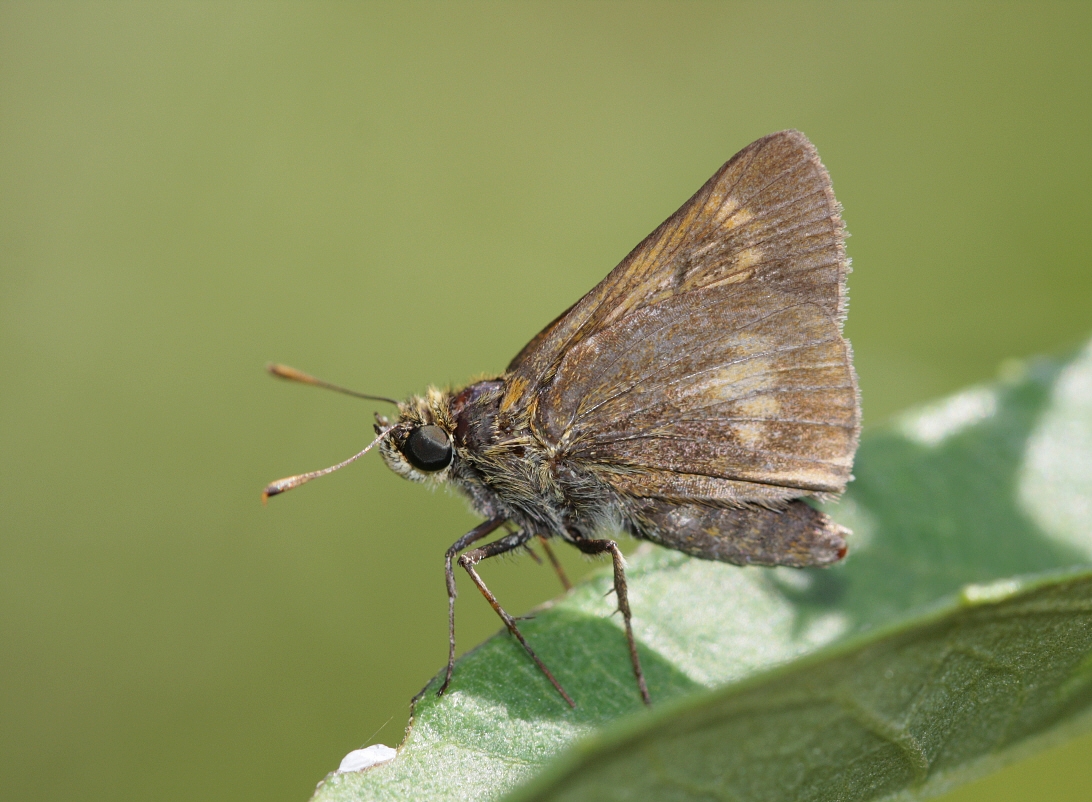
Byssus Skipper (Problema byssus kumskaka) ?
Black Dash (Euphyes conspicua)
Topographic Map of N rd Ave W, Collins, IA, USA
Find elevation by address:

Places near N rd Ave W, Collins, IA, USA:
Clear Creek
Collins
Collins
3rd St, Collins, IA, USA
Station St, Mingo, IA, USA
Mingo
NE th Ave, Maxwell, IA, USA
Poweshiek
Independence
Baxter
S Main St, Baxter, IA, USA
Center St, Colfax, IA, USA
Valeria
Washington
Indian Creek
Co Rd S27, Maxwell, IA, USA
Maxwell
New Albany
11 E Howard St, Colfax, IA, USA
Colfax
Recent Searches:
- Elevation of Corso Fratelli Cairoli, 35, Macerata MC, Italy
- Elevation of Tallevast Rd, Sarasota, FL, USA
- Elevation of 4th St E, Sonoma, CA, USA
- Elevation of Black Hollow Rd, Pennsdale, PA, USA
- Elevation of Oakland Ave, Williamsport, PA, USA
- Elevation of Pedrógão Grande, Portugal
- Elevation of Klee Dr, Martinsburg, WV, USA
- Elevation of Via Roma, Pieranica CR, Italy
- Elevation of Tavkvetili Mountain, Georgia
- Elevation of Hartfords Bluff Cir, Mt Pleasant, SC, USA