Elevation of S Main St, Baxter, IA, USA
Location: United States > Iowa > Jasper County > Independence > Baxter >
Longitude: -93.151360
Latitude: 41.8261294
Elevation: 307m / 1007feet
Barometric Pressure: 98KPa
Elevation Map:
Satellite Map:
Related Photos:

Built Ram Tough

One Mean Caddy

Iowa Pontiac
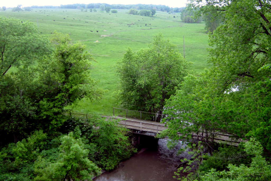
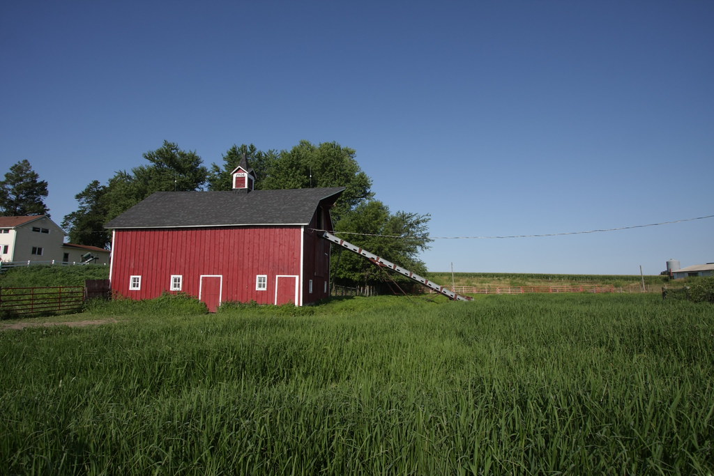
view from Hoy Bridge
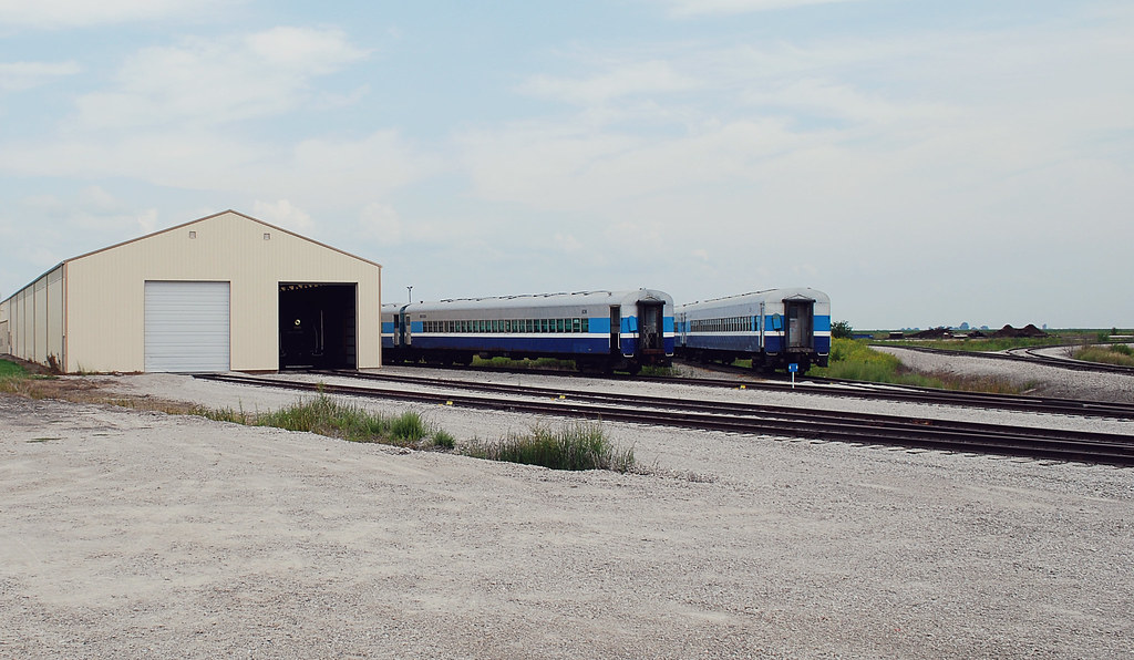
IAIS 6988
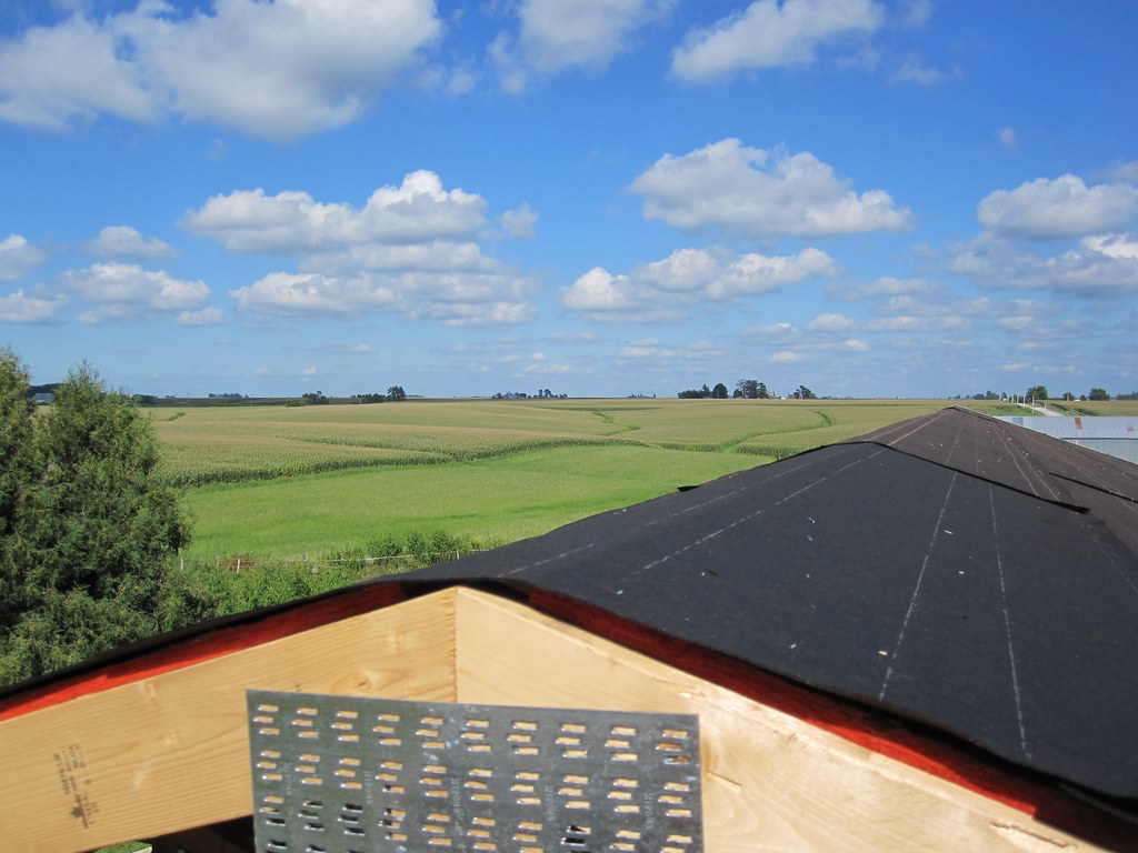
MD 181 (2010-Aug-14): View From the Top
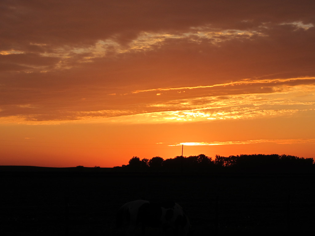
Iowa Sunset
IMG_19028.JPG
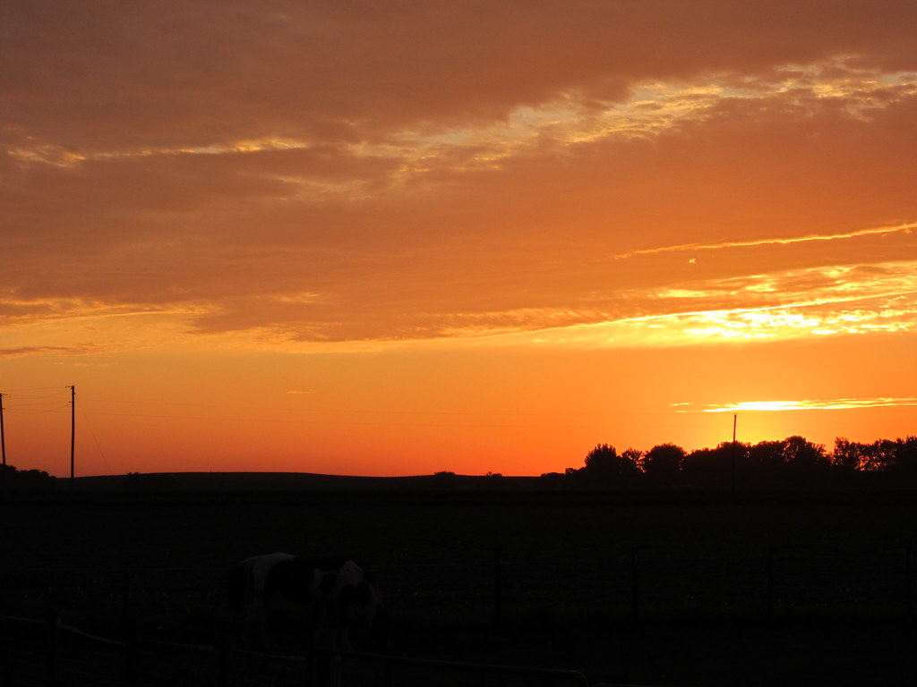
Iowa Sunset

Ashton Wildwood Praire
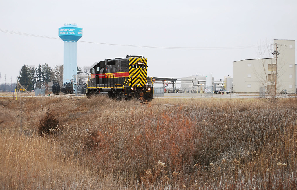
IAIS 715 heading back to the Newton yard
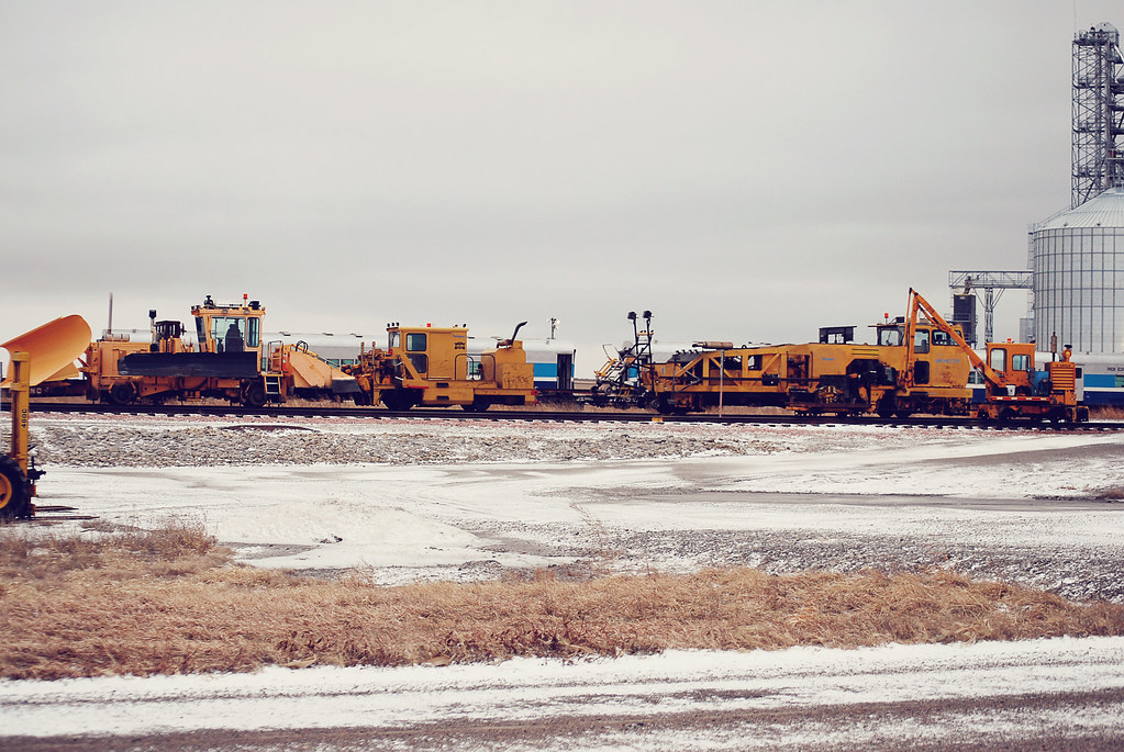
IAIS MOW
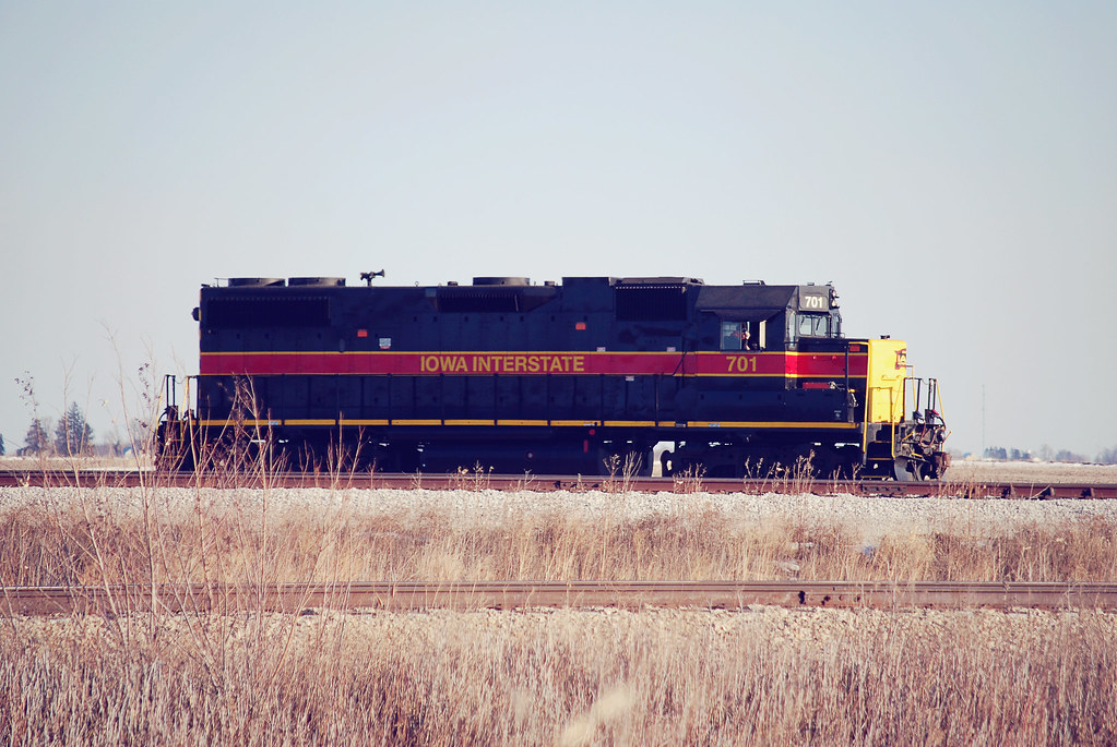
IAIS 701
IMG_19013.JPG
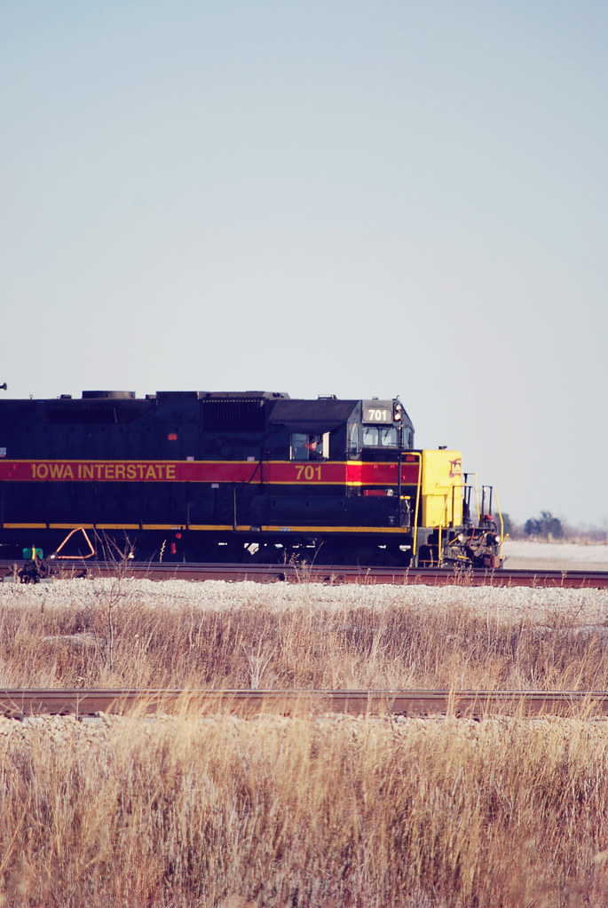
IAIS 701
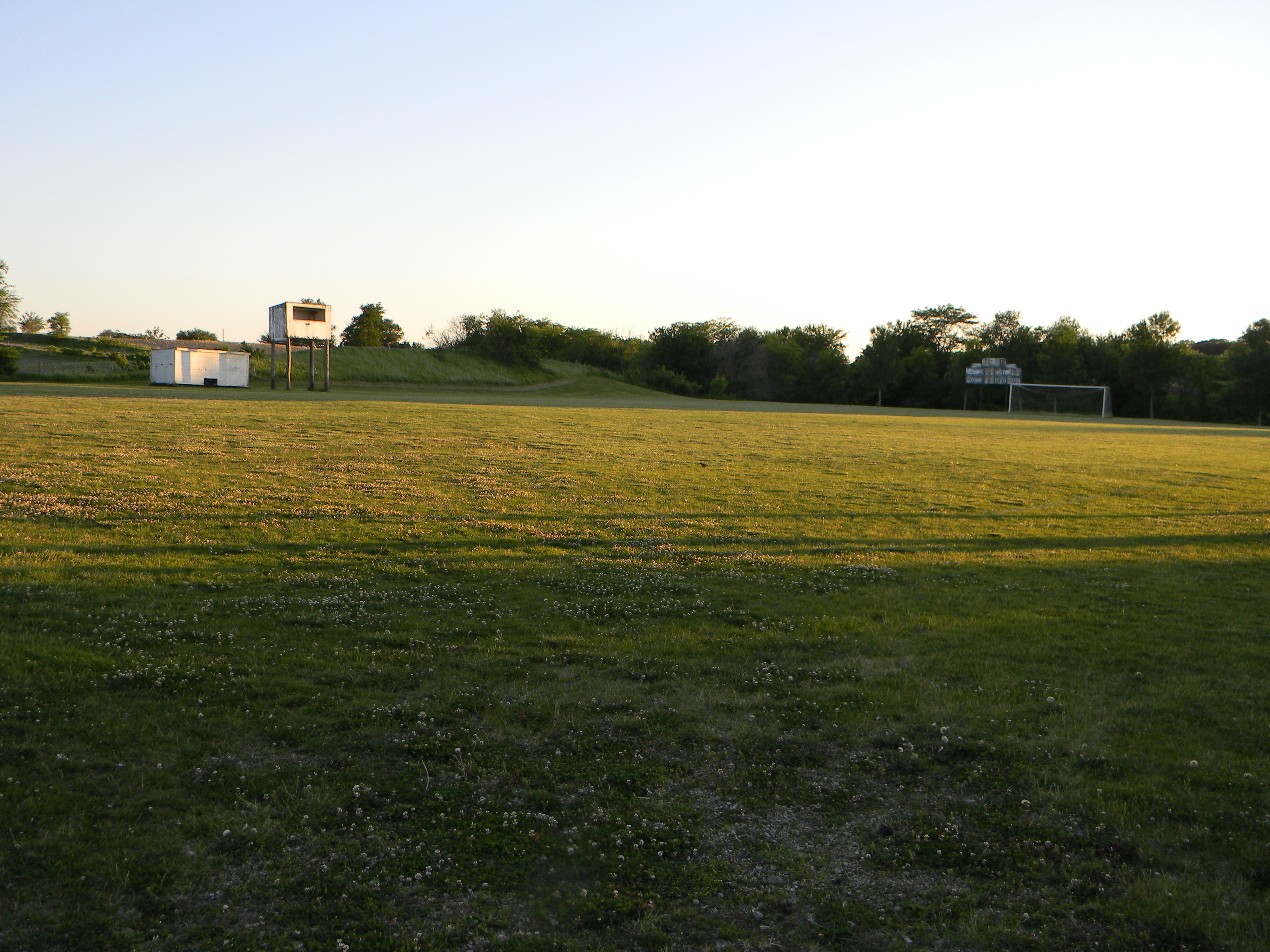
Abandoned High School Football Field, Mingo, Iowa
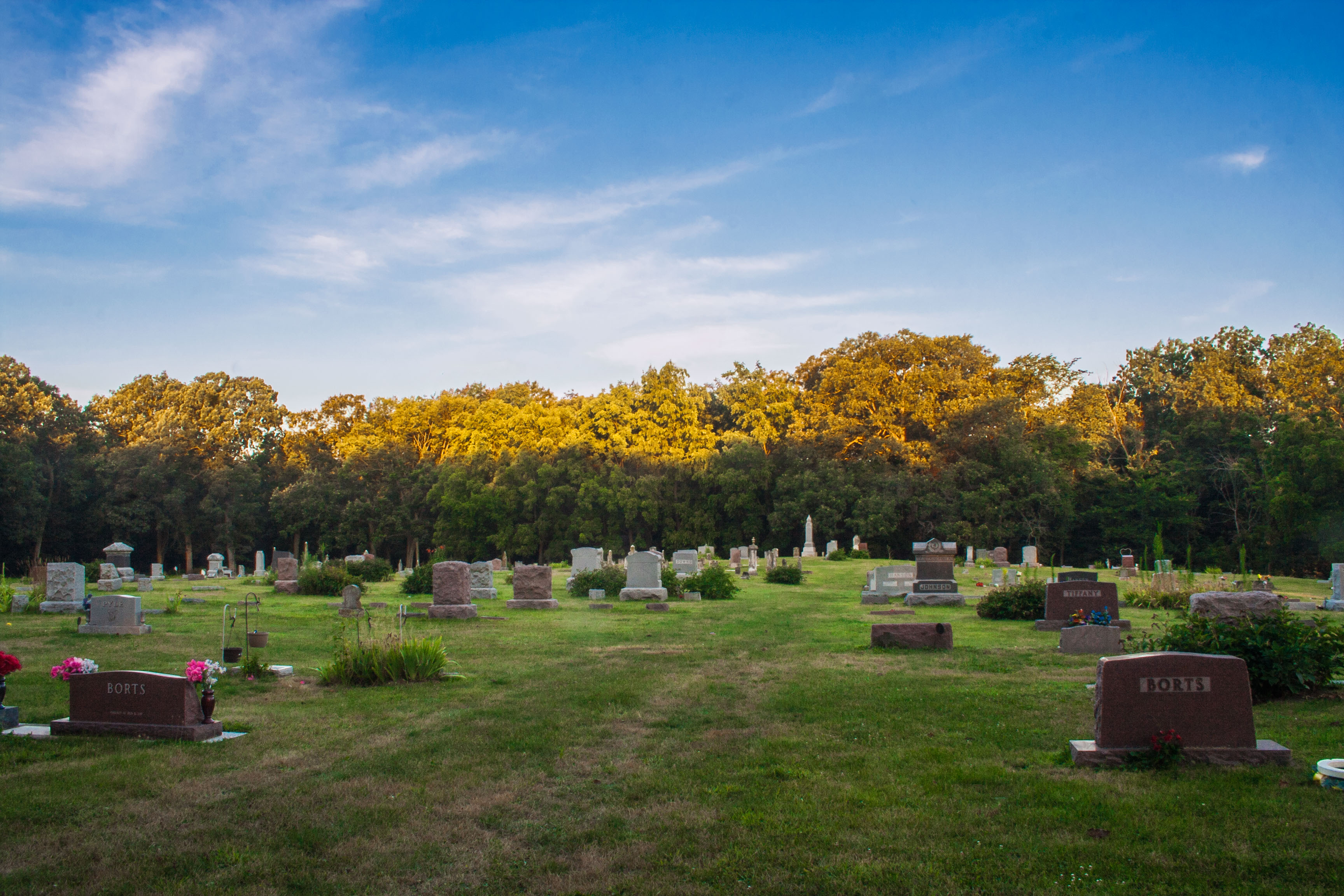
Ashton Cemetery

Corn on the Way Back to Iowa City
IMG_19019.JPG
IMG_19018.JPG
IMG_19020.JPG
IMG_19014.JPG

Raod into the Campground

Hiking Trail
IMG_19015.JPG

IMG_19081.JPG
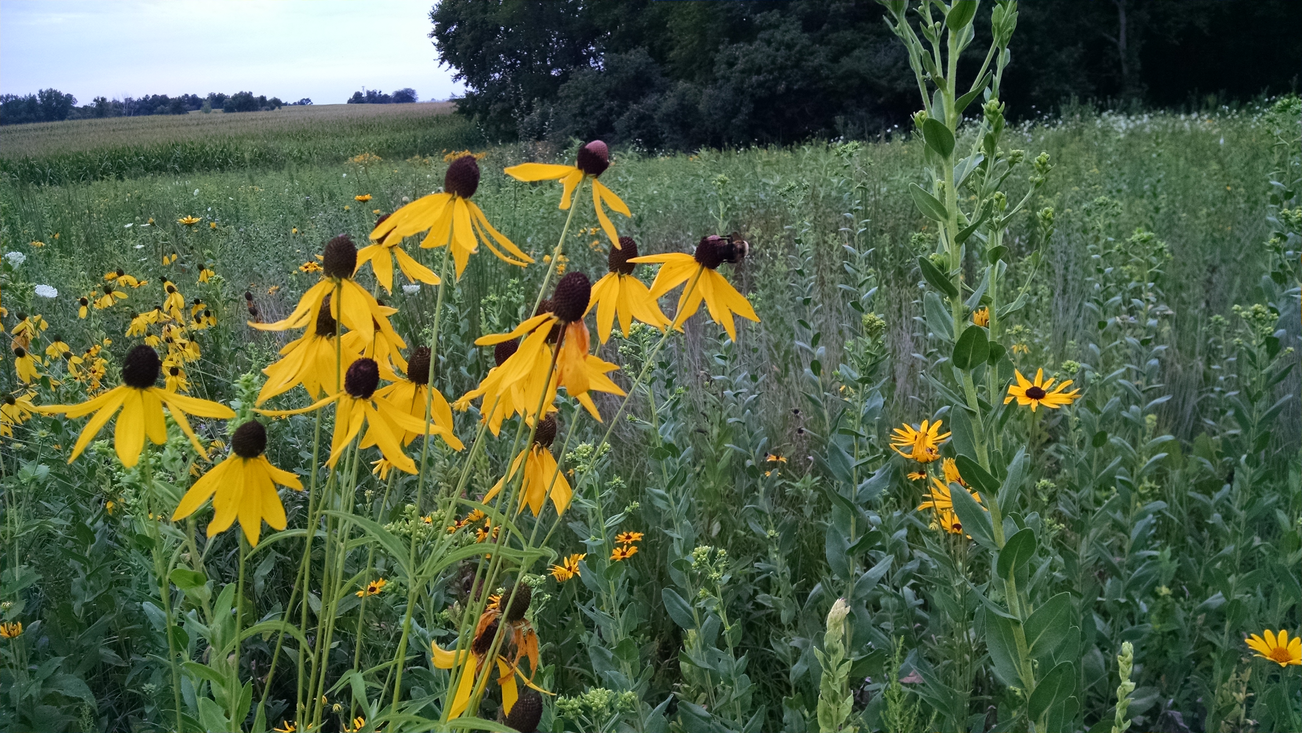
Wildflowers at Ashton.
Topographic Map of S Main St, Baxter, IA, USA
Find elevation by address:

Places near S Main St, Baxter, IA, USA:
Baxter
Independence
Newton
3038 N 18th Ave W
N 4th Ave W, Newton, IA, USA
1600 W 4th St N
Newton
E 19th St N, Newton, IA, USA
905 E 12th St N
1st Ave E, Newton, IA, USA
Newton, IA, USA
Kellogg
N 58th Ave E, Kellogg, IA, USA
Buena Vista
Kellogg
Depot St, Kellogg, IA, USA
7206 E 116th St N
Rock Creek
US-6, Grinnell, IA, USA
Recent Searches:
- Elevation of Corso Fratelli Cairoli, 35, Macerata MC, Italy
- Elevation of Tallevast Rd, Sarasota, FL, USA
- Elevation of 4th St E, Sonoma, CA, USA
- Elevation of Black Hollow Rd, Pennsdale, PA, USA
- Elevation of Oakland Ave, Williamsport, PA, USA
- Elevation of Pedrógão Grande, Portugal
- Elevation of Klee Dr, Martinsburg, WV, USA
- Elevation of Via Roma, Pieranica CR, Italy
- Elevation of Tavkvetili Mountain, Georgia
- Elevation of Hartfords Bluff Cir, Mt Pleasant, SC, USA