Elevation of N Mitchell St, Castle Rock, CO, USA
Location: United States > Colorado > Douglas County > Castle Rock >
Longitude: -104.79642
Latitude: 39.3737352
Elevation: 2000m / 6562feet
Barometric Pressure: 79KPa
Elevation Map:
Satellite Map:
Related Photos:
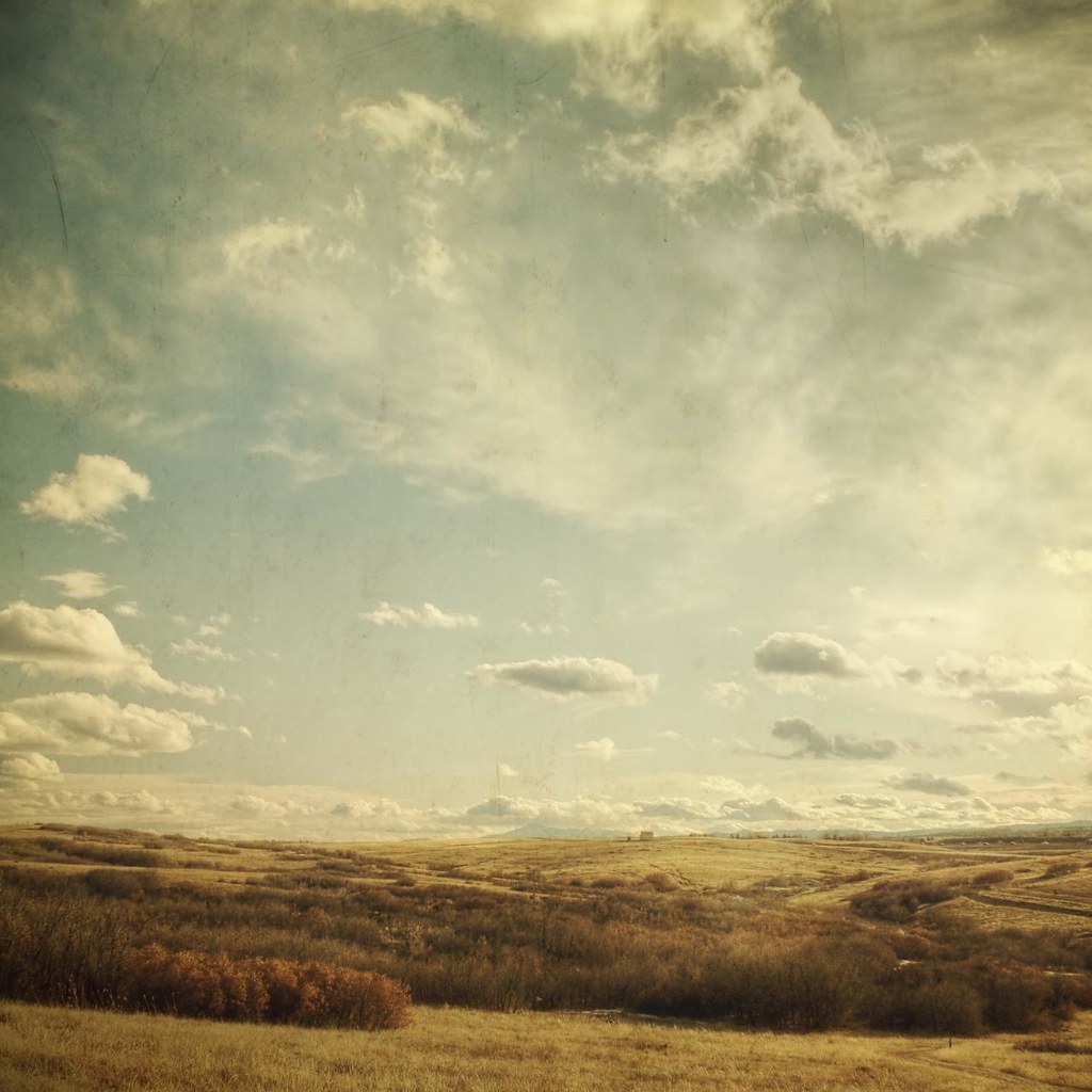
the valley of once was
southern sky
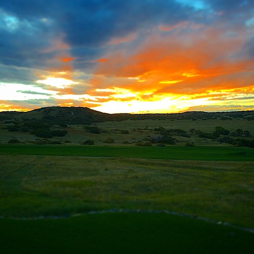
Another beautiful Bronco sunset view from the backyard...
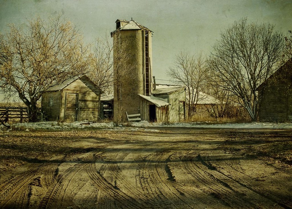
shadowed by the past

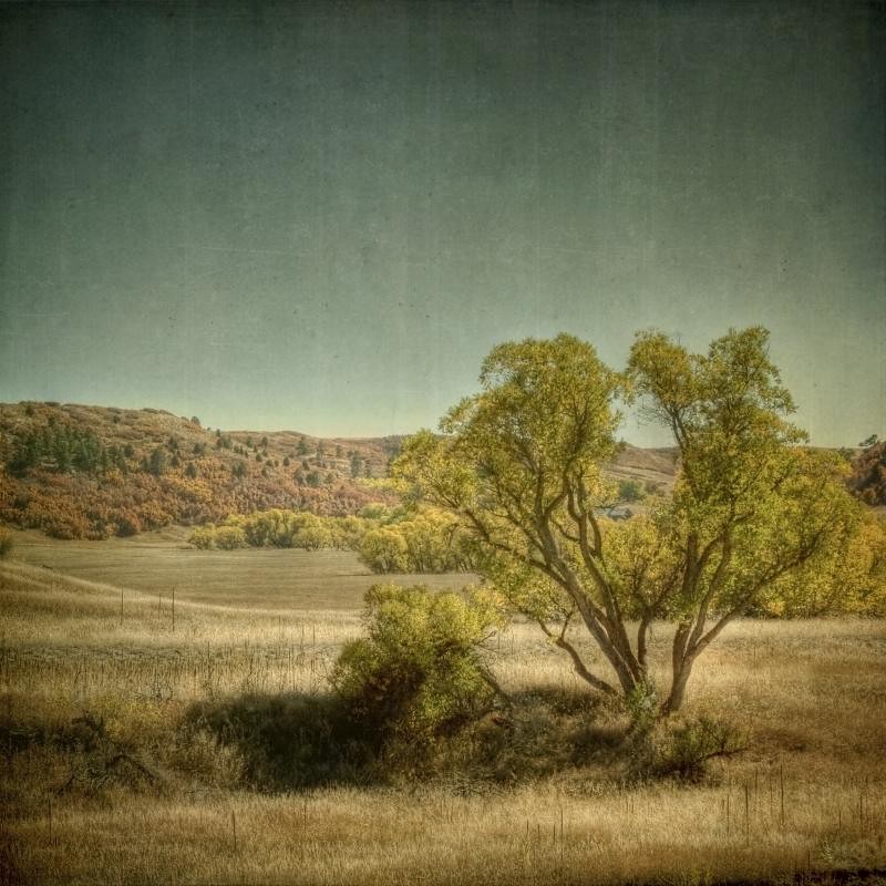
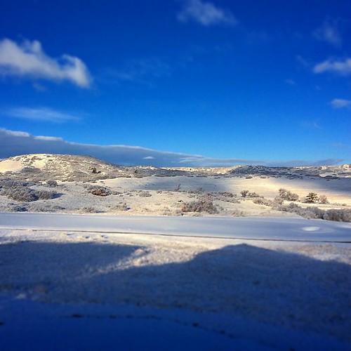
rolling amber
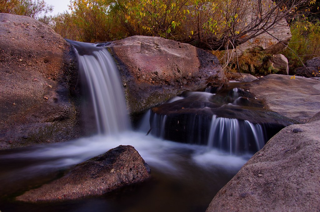
Another Castlewood Canyon Waterfall
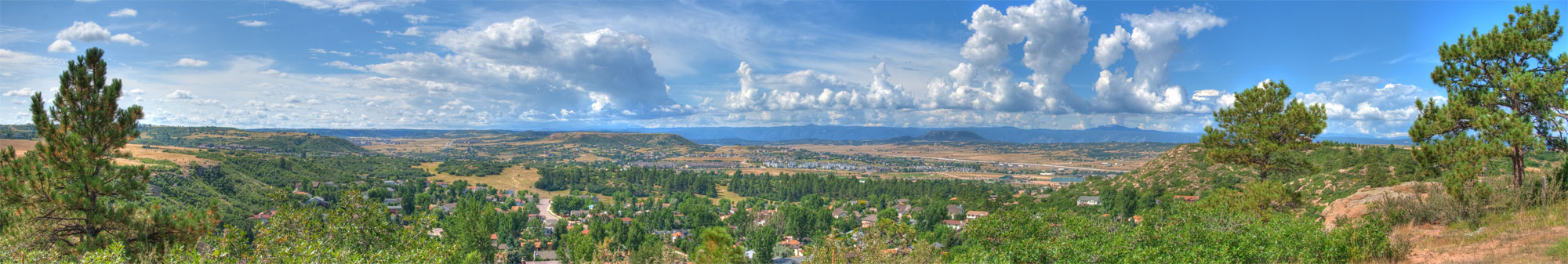
Castle Rock Colorado Panorama

Manhart Store interior

Town of Castle Rock from "The Rock"
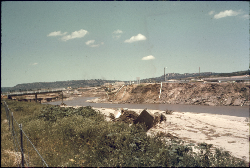
Flood damage - East Plum Creek near Douglas County High School

Saturday morning
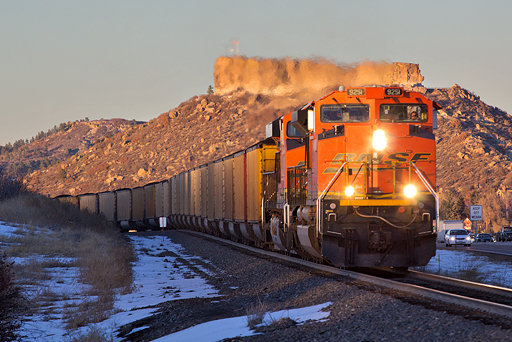
BNSF 9251 Castle Rock 9 Feb 16
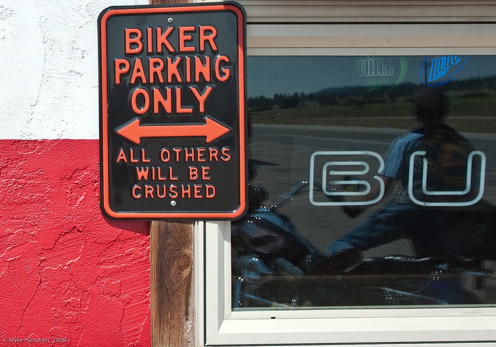
Biker Parking Only

A Romantic Glow?
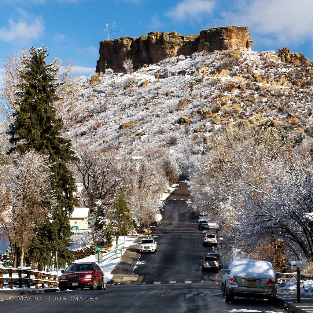
The Rock

dam ruins,side view

The Castlewood Dam Ruins
Canyon View Trail
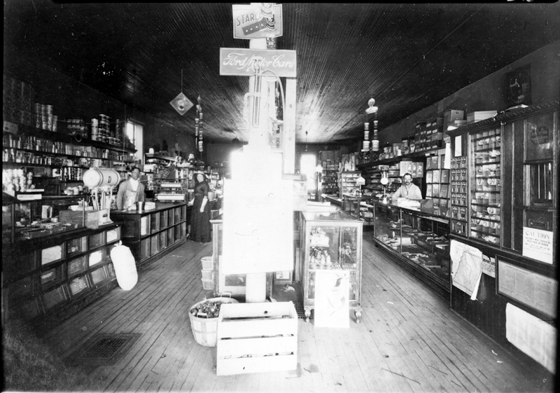
Manhart Store interior

Castle Rock in HDR
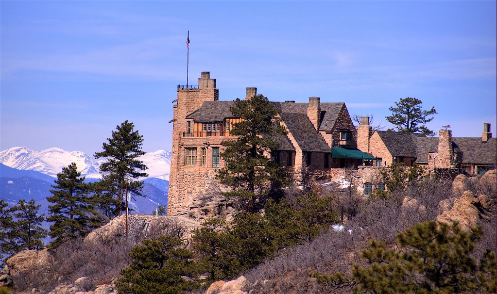
Cherokee Ranch & Castle, Sedalia, Colorado

Country in Setting
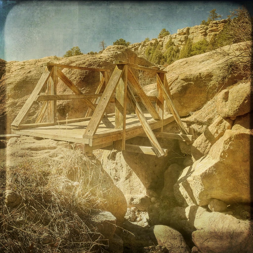
The foot bridge
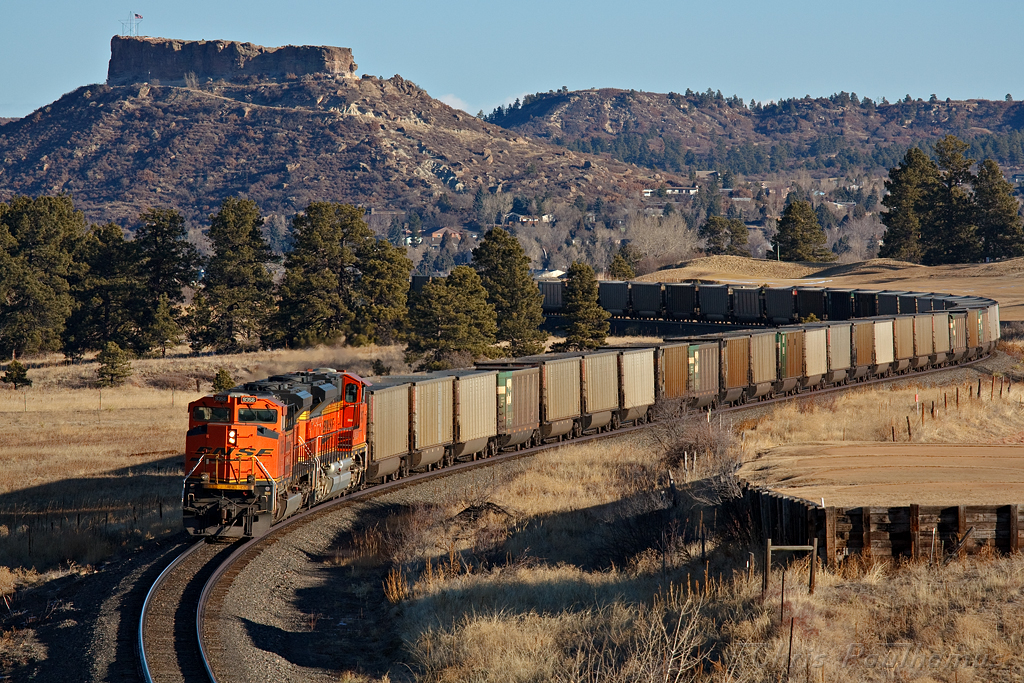
BNSF 9356 Castle Rock 22 Jan 11

meadow road
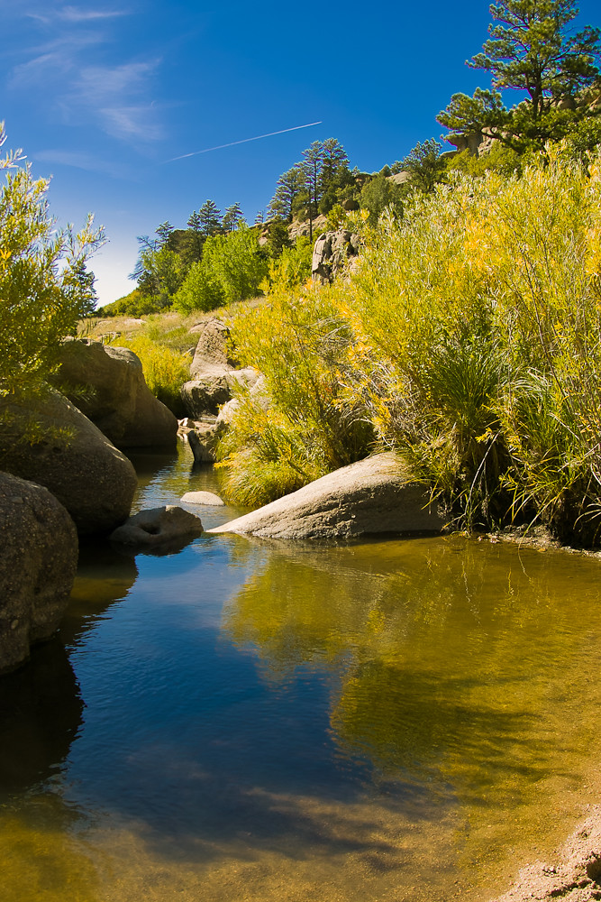
Castlewood Canyon

2012-09-02 11.14.15

Layers of Sunrise

Approach shot from the fairway in a late day round #golf #colorado #clouds
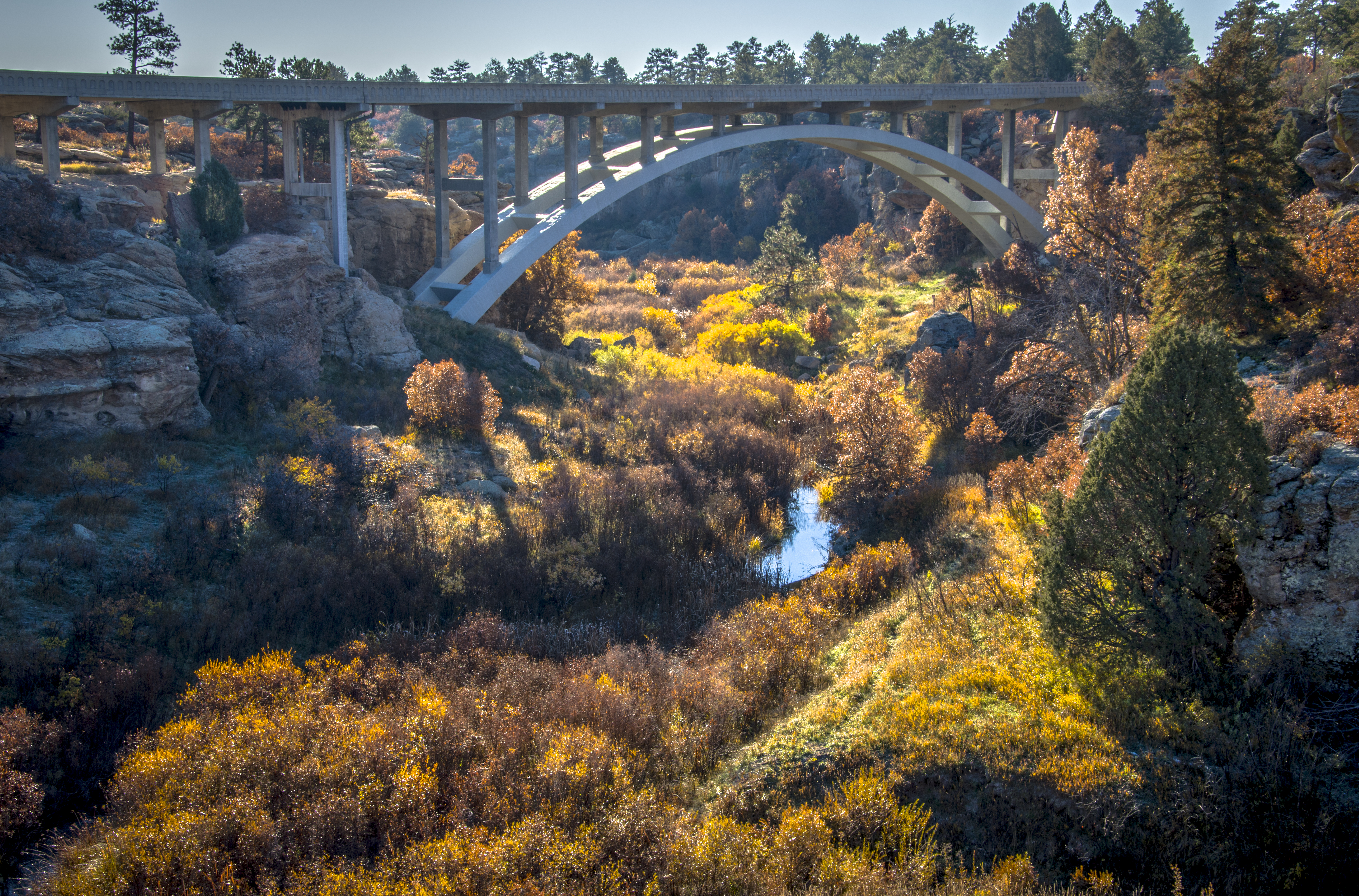
Castlewood Canyon State Park Colorado
Stroh Rd. Parker, Colorado
Castlewood Canyon State Park Colorado
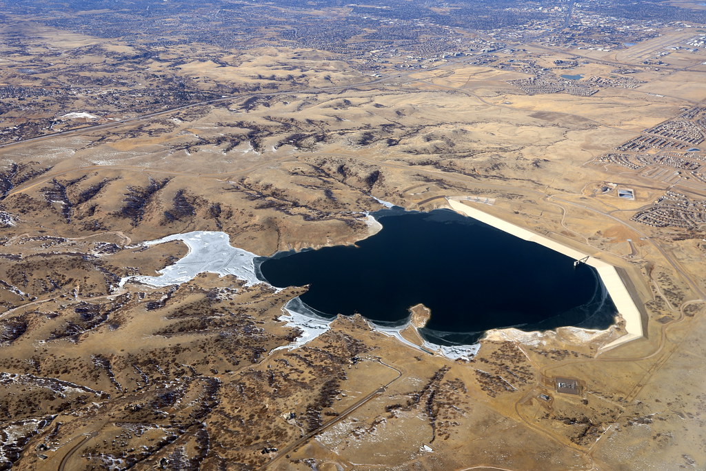
On The Banks of Cherry Creek

Hay rolls
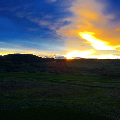
The birds are singing at sunset...
Golfed in shorts three days ago. Colorado...

Castlewood Canyon
2017-01-30_1415-00-140 Denver Colorado
Topographic Map of N Mitchell St, Castle Rock, CO, USA
Find elevation by address:

Places near N Mitchell St, Castle Rock, CO, USA:
279 Peabody St
19 Peabody St
6165 Brantly Ave
7030 Weaver Cir
6276 Millbridge Ave
7056 Winthrop Cir
1008 Kittery St
Atkinson Avenue
5280 Essex Ave
1377 Kingsfield St
475 Hampstead Ave
555 Heritage Ave
1087 Ridge Oaks Dr
2116 Shiloh Dr
2128 Beacham Dr
Blue Oak Court
53 Taylor Ct
385 Lake Gulch Rd
216 Cedar Ave
3874 John Ave
Recent Searches:
- Elevation of Corso Fratelli Cairoli, 35, Macerata MC, Italy
- Elevation of Tallevast Rd, Sarasota, FL, USA
- Elevation of 4th St E, Sonoma, CA, USA
- Elevation of Black Hollow Rd, Pennsdale, PA, USA
- Elevation of Oakland Ave, Williamsport, PA, USA
- Elevation of Pedrógão Grande, Portugal
- Elevation of Klee Dr, Martinsburg, WV, USA
- Elevation of Via Roma, Pieranica CR, Italy
- Elevation of Tavkvetili Mountain, Georgia
- Elevation of Hartfords Bluff Cir, Mt Pleasant, SC, USA