Elevation of 19 Peabody St, Castle Rock, CO, USA
Location: United States > Colorado > Douglas County > Castle Rock >

Longitude: -104.79345

Latitude: 39.3702169

Elevation: 2006m / 6581feet

Barometric Pressure: 79KPa

Elevation Map:

elevation map of 19 Peabody St, Castle Rock, CO, USA
Satellite Map:

Satellite map of 19 Peabody St, Castle Rock, CO, USA
Related Photos:

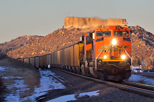
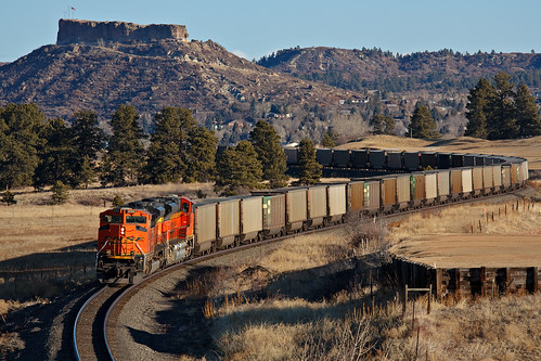
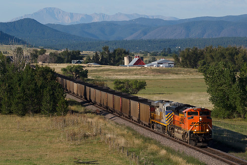
railroad train colorado bnsf castlerock emd coaltrain sd70ace jointline bnsf9251
BNSF 9251 Castle Rock 9 Feb 16
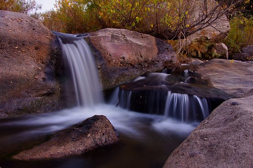
longexposure autumn sunset fall landscape waterfall twilight scenery colorado dusk cascade castlewoodcanyon franktown mygearandmepremium
Another Castlewood Canyon Waterfall
panorama mountains colorado bluesky hdr pikespeak castlerock
Castle Rock Colorado Panorama
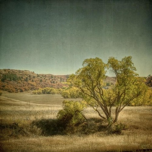
autumn trees fall square landscape golden colorado hdr resevoir textured castlewoodcanyon caono texturesquared t1i
the valley of once was
sky clouds canon vintage square landscape colorado aged hdr pikespeak textured t1i applesandsisters
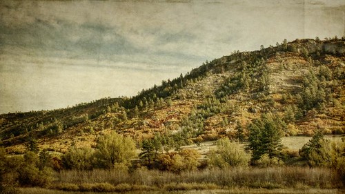
southern sky
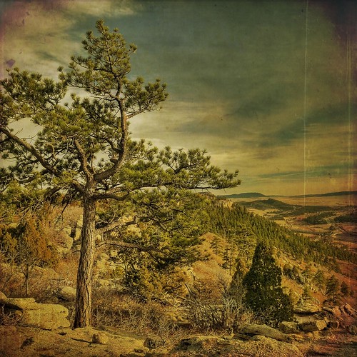
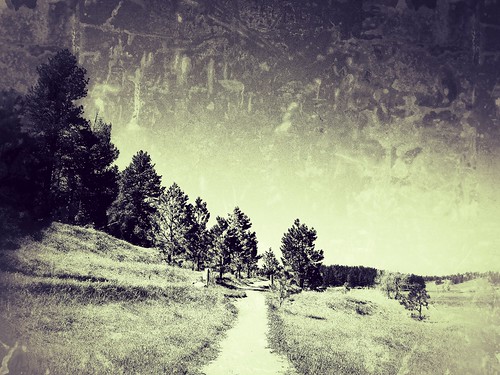
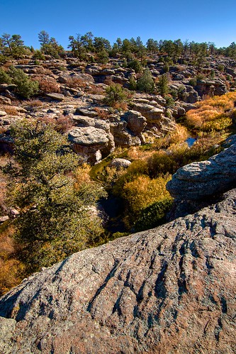
trees foothills mountains texture forest colorado rocks south hike cliffs boulders filter pines layers grasses dried mesa tiffen scruboak kartpostal playingwithbrushes textureforlayers naturescreations
The last view south
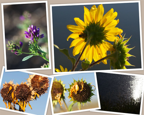
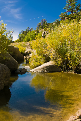
blue sky usa lake reflection yellow colorado wasp sunflowers wildflowers parker saturdaymorning douglascounty salisburyequestriancenter
Saturday morning
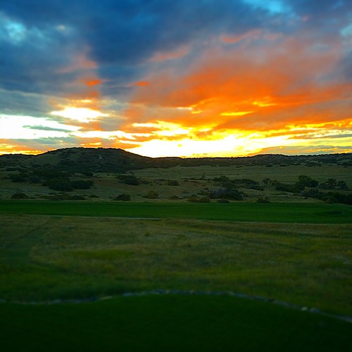
square squareformat iphoneography instagramapp uploaded:by=instagram foursquare:venue=4d10adf2ba378cfaad517993
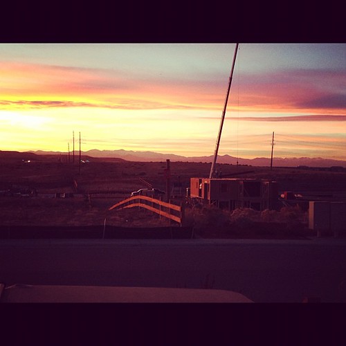
Another beautiful Bronco sunset view from the backyard...
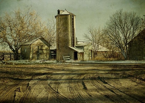
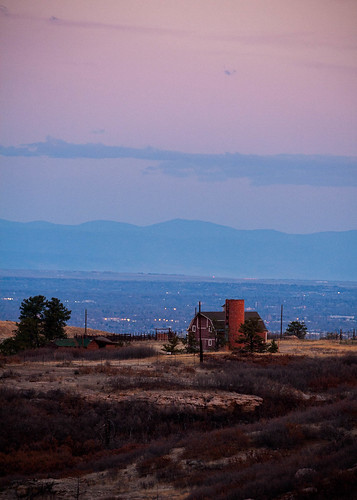
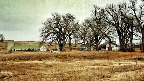
trees winter light snow cold barn rural canon landscape afternoon shadows farm barns silo hdr textured ruts t1i applesandsisters
shadowed by the past
morning autumn trees sky fall yellow canon landscape gold colorado pines aged oaks hdr textured larkspur 16x9 t1i
rolling amber
thrumikesviewfinder
A Romantic Glow?
morning winter snow rock square star colorado flag lewis therock 3rd castlerock douglascounty bsquare
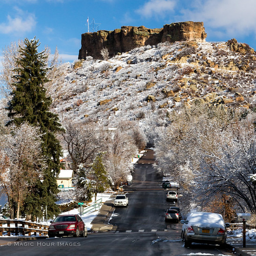
The Rock
trees texture ruins colorado rocks destruction failure hike boulders trail layers dried hdr castlewoodcanyon memoriesbook castlewooddam
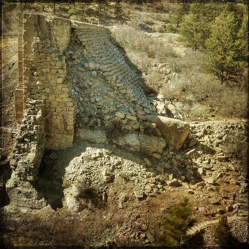
dam ruins,side view
texture forest vintage square colorado flood dam pines faux layer castlewood castlewoodcanyon ttv sunwashed kartpostal runins
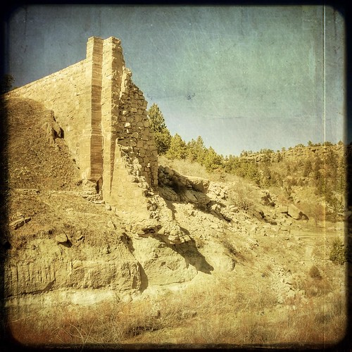
The Castlewood Dam Ruins
statepark walking spring colorado hiking cherrycreek castlewoodcanyon mapmywalk:route=87797801
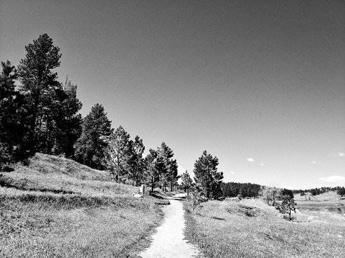
Canyon View Trail
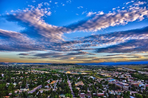
sunset sky mountains clouds colorado pikespeak castlerock
Castle Rock in HDR
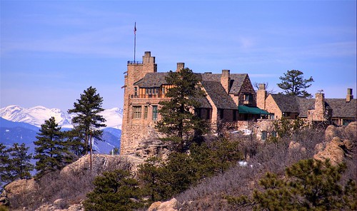
castle architecture colorado sedalia douglascounty nationalregisterofhistoricplaces nrhp cherokeeranch 200703 94001228
Cherokee Ranch & Castle, Sedalia, Colorado
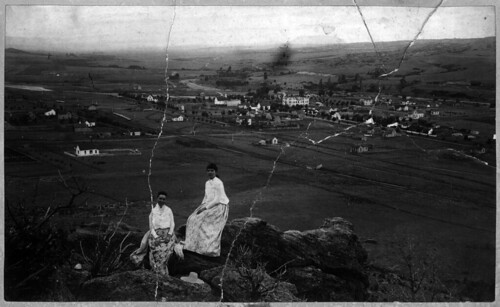
history rock geotagged whatevertheweather women colorado archive aerialview scanned archives pre1900 oldphotographs oldpictures everything oldphotos dcl anything vintagephotos castlerockcolorado antiquephotos flickritis norules archivists historicandoldphotos douglascountycolorado anythingeverything anythingallowed antiquephotographs thebiggestgroup historyusa anythingandeverything 1millionphotos 10millionphotos douglascountycourthouse scannedphotographs themostphotos tenmillionphotos thewholecaboodle fadedphotographs douglascountylibraries 5millionphotos historicimage douglascountyhistoryresearchcenter archivesonflickr onemillionphotos douglascountyhistoricalsociety dchrc archivesandarchivists geotaggedcolorado theanythinggroup allyoulike bwfoundphotos 100000000flickrphotos fivemillionphotos 19920010xxx0118
Town of Castle Rock from "The Rock"
square squareformat amaro iphoneography instagramapp uploaded:by=instagram foursquare:venue=4f626386e4b0656122dffca1
This house going up better not cramp our style, aka view
colorado castlerockcolorado castlewoodcanyonstatepark lucashomestead
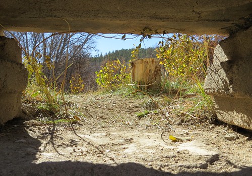
Basement View
statepark walking spring colorado hiking cherrycreek castlewoodcanyon mapmywalk:route=87797801
Canyon View Trail
sunset sky cloud field grass colorado country fair pasture prairie wildflower castlerock nikond80 erikcooperphotography erikcooperphotographycom
Country in Setting
colroado bnsf castlerock coaltrain jointline bnsf9356
BNSF 9356 Castle Rock 22 Jan 11
castlewoodcanyon september2011
Castlewood Canyon
2012-09-02 11.14.15
lens colorado unitedstates franktown canon1755f28is
Castlewood Canyon
bnsf bnsf9071 emd sd70ace castlerock colorado jointline rampartrange pikespeak train railroad crystalvalleyparkway
BNSF 9071 Castle Rock 19 Aug 17
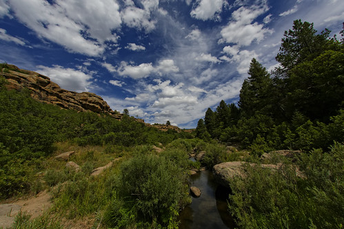
usa nature canon landscape colorado wildlife scenic fisheye dxo sanctuary allrightsreserved cherrycreek wildlifesanctuary franktown defish sigma15mmf28exdgdiagonalfisheye castlewoodcanyonstatepark canon5dmkiii copyright2013davidcstephens dxoopticspro82 z5a8419dxovs2
Cherry Creek in Castlewood Canyon
county snow mountains castle rock colorado rocky douglas katyc2009
Rocky Mountains from Douglas County, Colorado
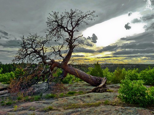
sunset tree beautiful clouds landscape twilight colorado unique lightroom castlewoodcanyon winnr
Castlewood Twilight Redux
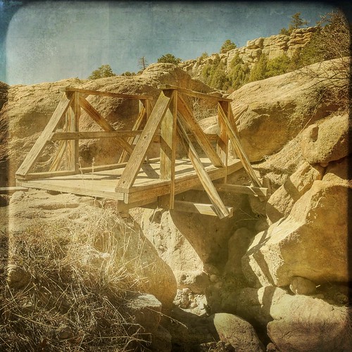
bridge trees texture creek colorado rocks shadows footbridge canyon cliffs boulders faux layer hdr castlewood fauxvintage ttv sunwashed proudshopper awardtree
The foot bridge
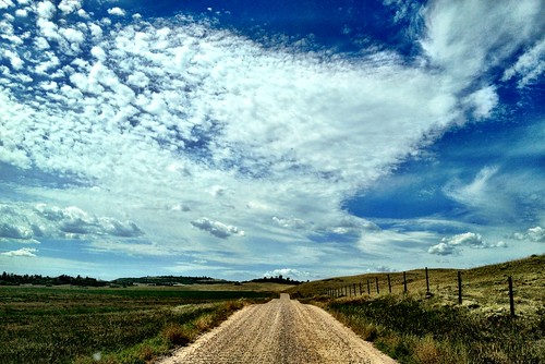
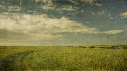
road morning sky grass clouds canon vintage landscape colorado horizon meadow dirty dirtroad wildflowers aged plains hdr 16x9 castlepines memoriesbook t1i
meadow road
landscape colorado outdoors places sedalia unitedstates us
Layers of Sunrise
square squareformat iphoneography instagramapp uploaded:by=instagram
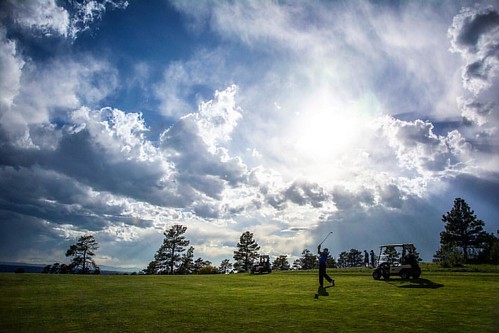
Approach shot from the fairway in a late day round #golf #colorado #clouds
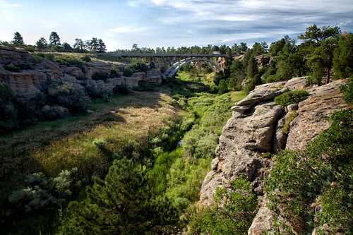
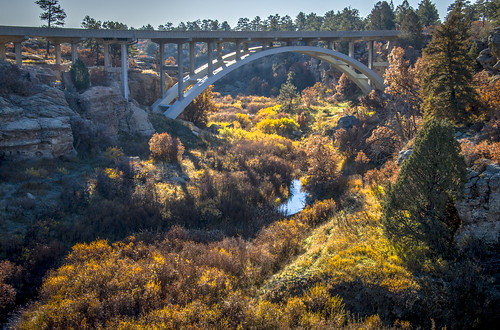
park bridge landscape colorado state canyon castlewood afsdxvrzoomnikkor18105mmf3556ged
Castlewood Canyon State Park Colorado
abandoned farm parkercolorado samsunggalaxys5
Stroh Rd. Parker, Colorado
landscape colorado 110160mmf28
Castlewood Canyon State Park Colorado
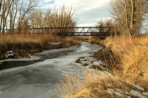
cherrycreek frozencreek winter colorado
On The Banks of Cherry Creek