Elevation of N Main St, Luxora, AR, USA
Location: United States > Arkansas > Mississippi County > Fletcher Township > Luxora >
Longitude: -89.928261
Latitude: 35.7563455
Elevation: 75m / 246feet
Barometric Pressure: 100KPa
Elevation Map:
Satellite Map:
Related Photos:
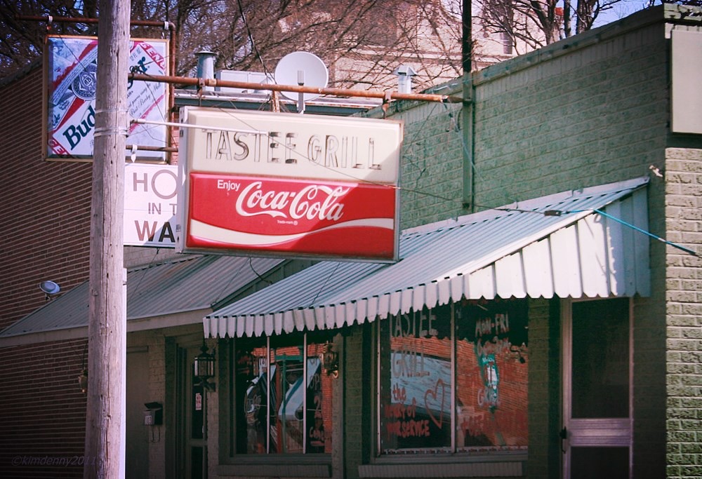
Tastee Grill Coca Cola, Osceola, Arkansas

Fort Pillow 093
refueling in Ark
#Arkansas #PerfectNight #HelloHeat

Angle to Key West

2009-07-21 06.16.15

21 July 2009 // 5.54am

Osceola 208

Fort Pillow 024
#sherman #mound #osceola

2009-07-20 17.08.14
Topographic Map of N Main St, Luxora, AR, USA
Find elevation by address:

Places near N Main St, Luxora, AR, USA:
Luxora
Fletcher Township
E Co Rd, Osceola, AR, USA
S Oak Dr, Burdette, AR, USA
Burdette
Burdette Township
Osceola
U.S Hwy 61, Blytheville, AR, USA
E County Rd, Blytheville, AR, USA
U.S Hwy 61, Osceola, AR, USA
Chickasawba Township
AR-, Blytheville, AR, USA
Blytheville
AR-, Blytheville, AR, USA
Bevill Ave, Blytheville, AR, USA
Gosnell
5929 Ar-18
5929 Ar-18
AR-18, Blytheville, AR, USA
TN-59, Burlison, TN, USA
Recent Searches:
- Elevation of Corso Fratelli Cairoli, 35, Macerata MC, Italy
- Elevation of Tallevast Rd, Sarasota, FL, USA
- Elevation of 4th St E, Sonoma, CA, USA
- Elevation of Black Hollow Rd, Pennsdale, PA, USA
- Elevation of Oakland Ave, Williamsport, PA, USA
- Elevation of Pedrógão Grande, Portugal
- Elevation of Klee Dr, Martinsburg, WV, USA
- Elevation of Via Roma, Pieranica CR, Italy
- Elevation of Tavkvetili Mountain, Georgia
- Elevation of Hartfords Bluff Cir, Mt Pleasant, SC, USA