Elevation of N Main St, Hettick, IL, USA
Location: United States > Illinois > Hettick >
Longitude: -90.0367584
Latitude: 39.3551634
Elevation: 184m / 604feet
Barometric Pressure: 0KPa
Related Photos:
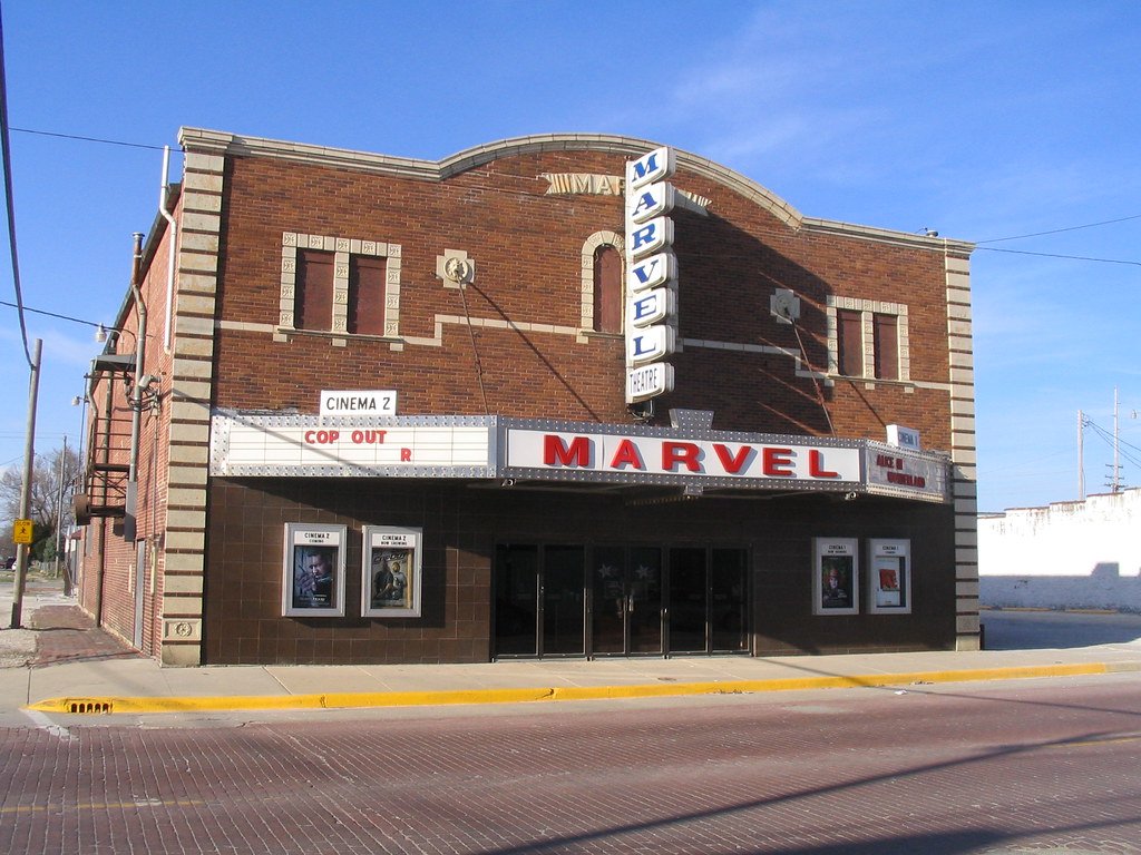
Marvel Theater
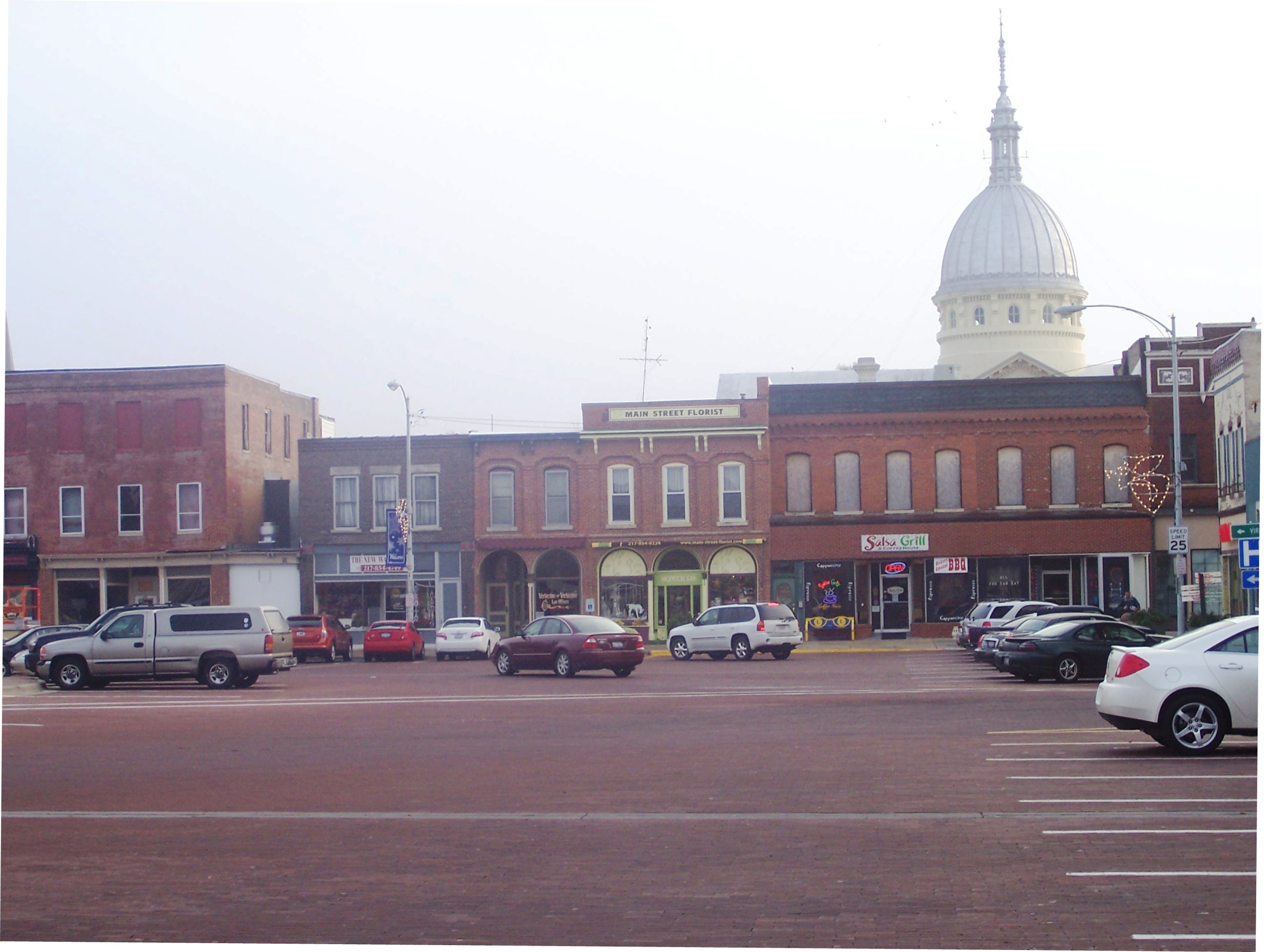
Carlinville Illinois Town Square
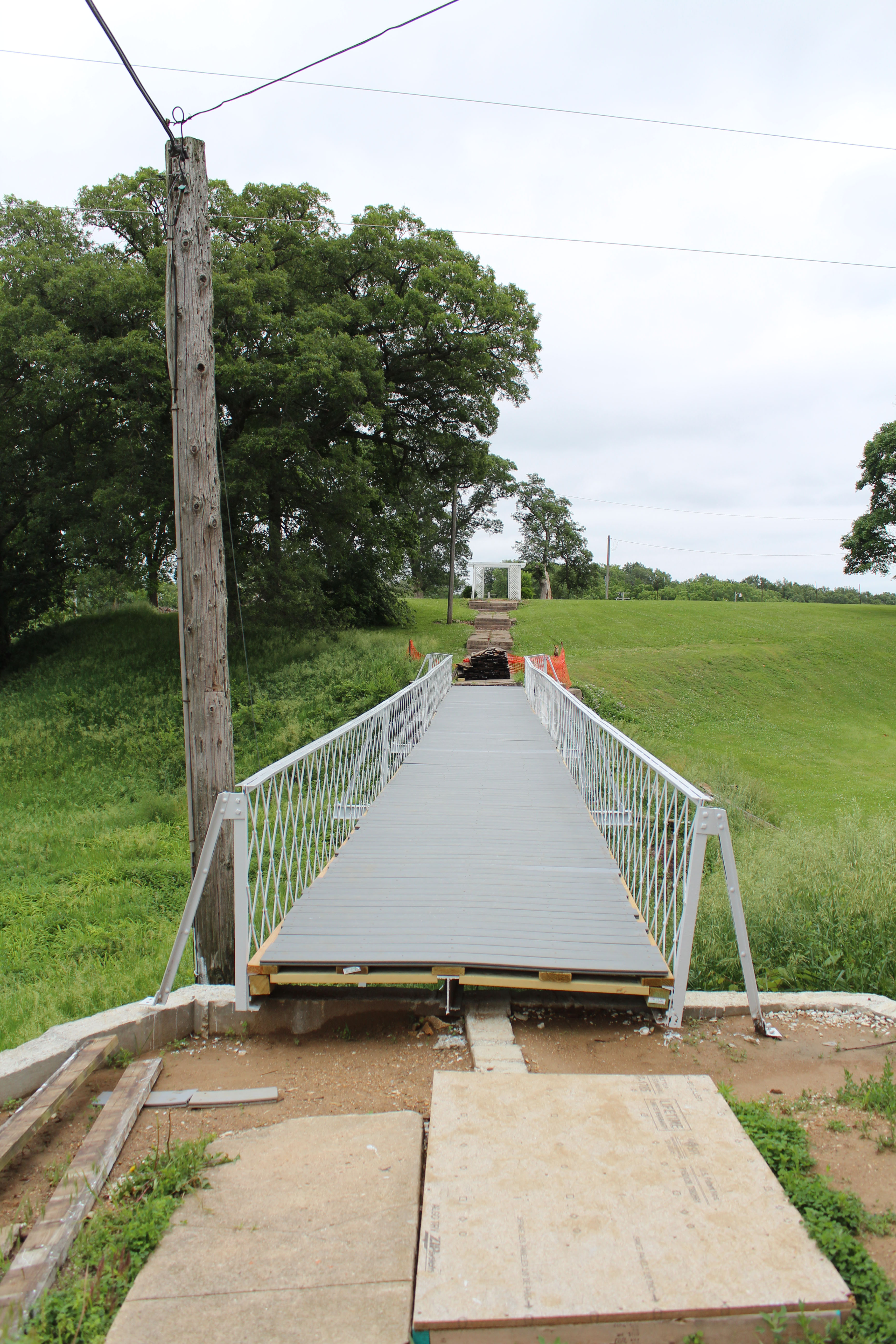
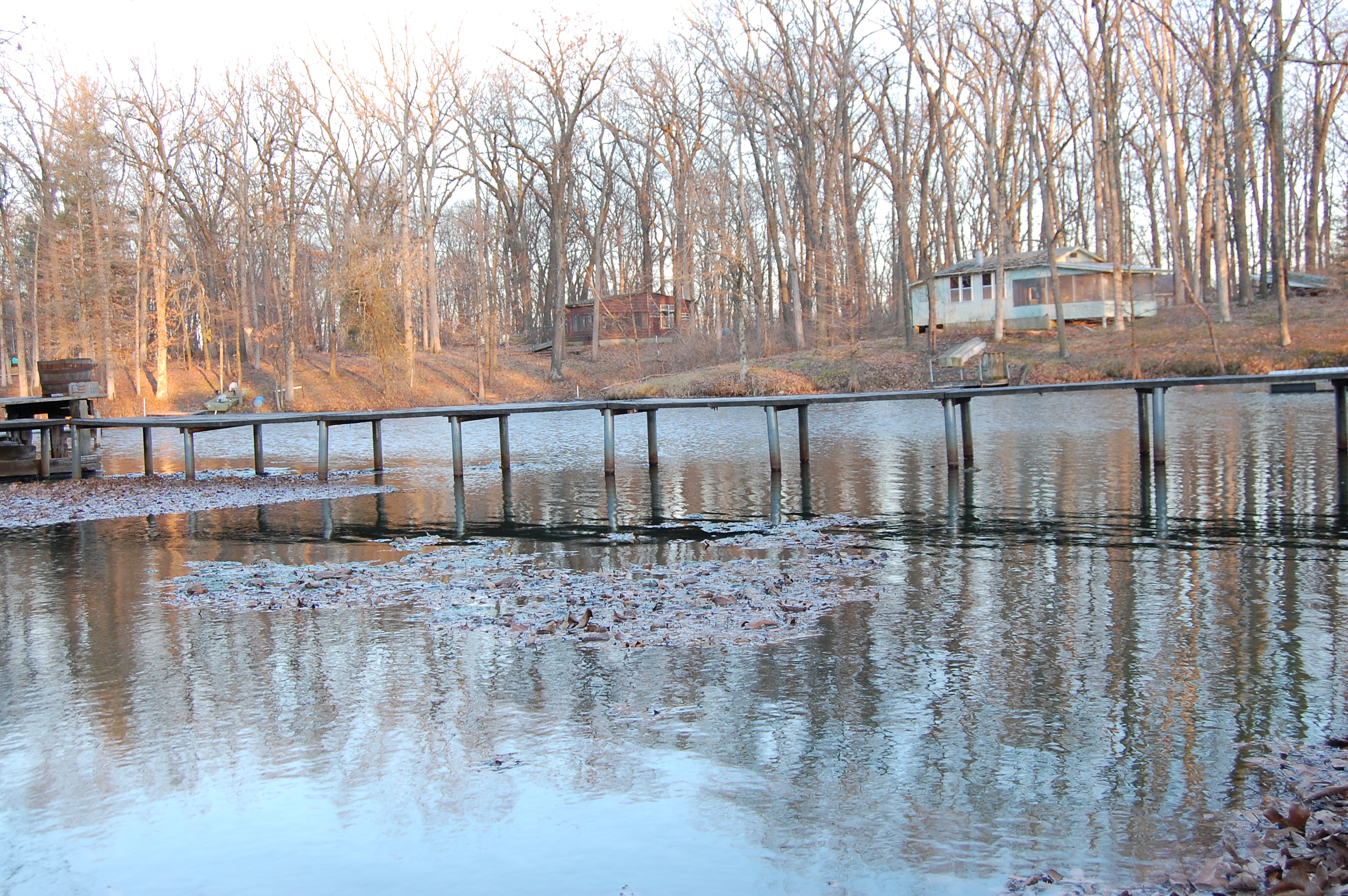
School bridge
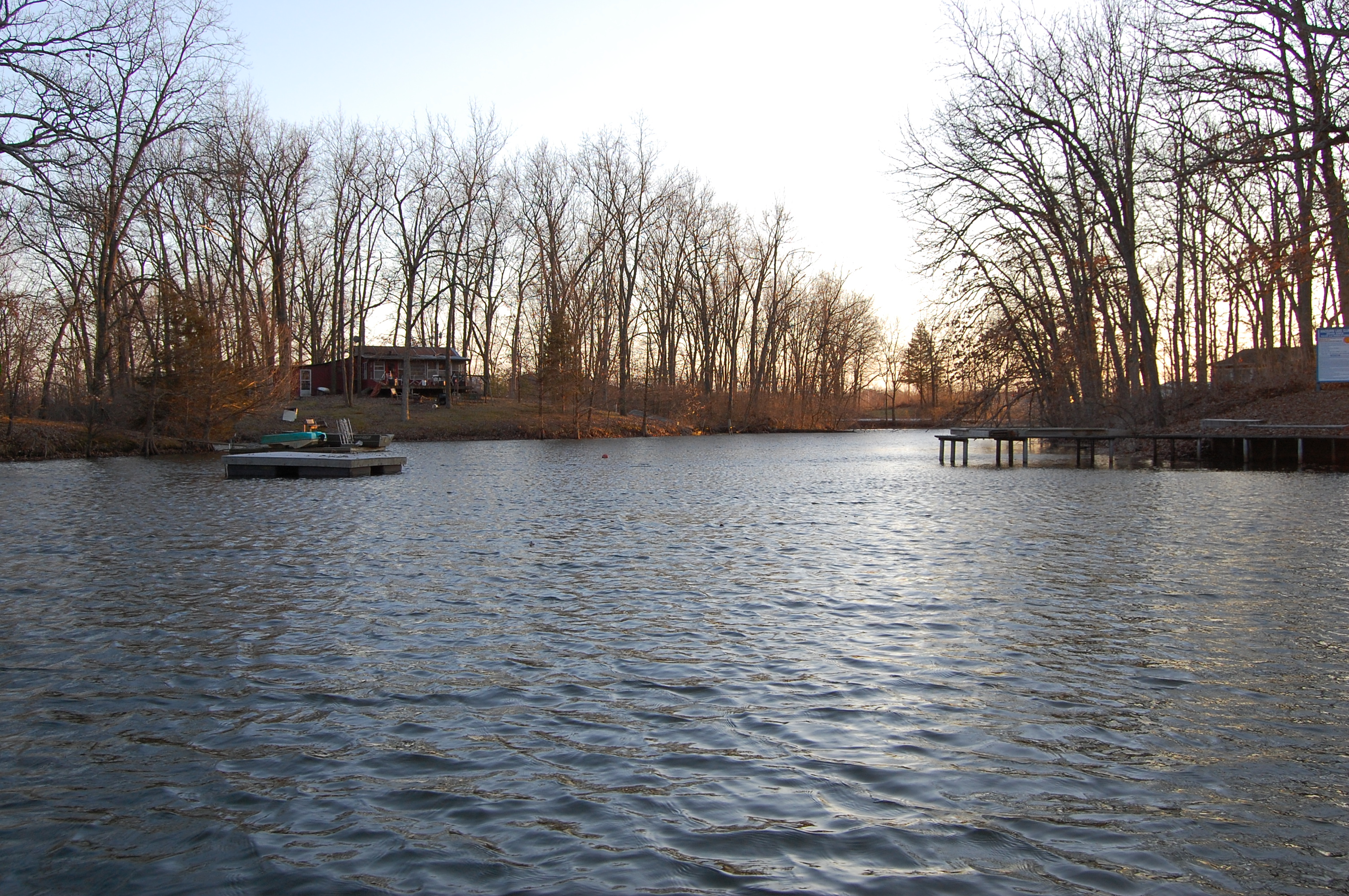
homework 036

homework 041

Turtles,geese
homework 038

homework 035
homework 030
homework 029

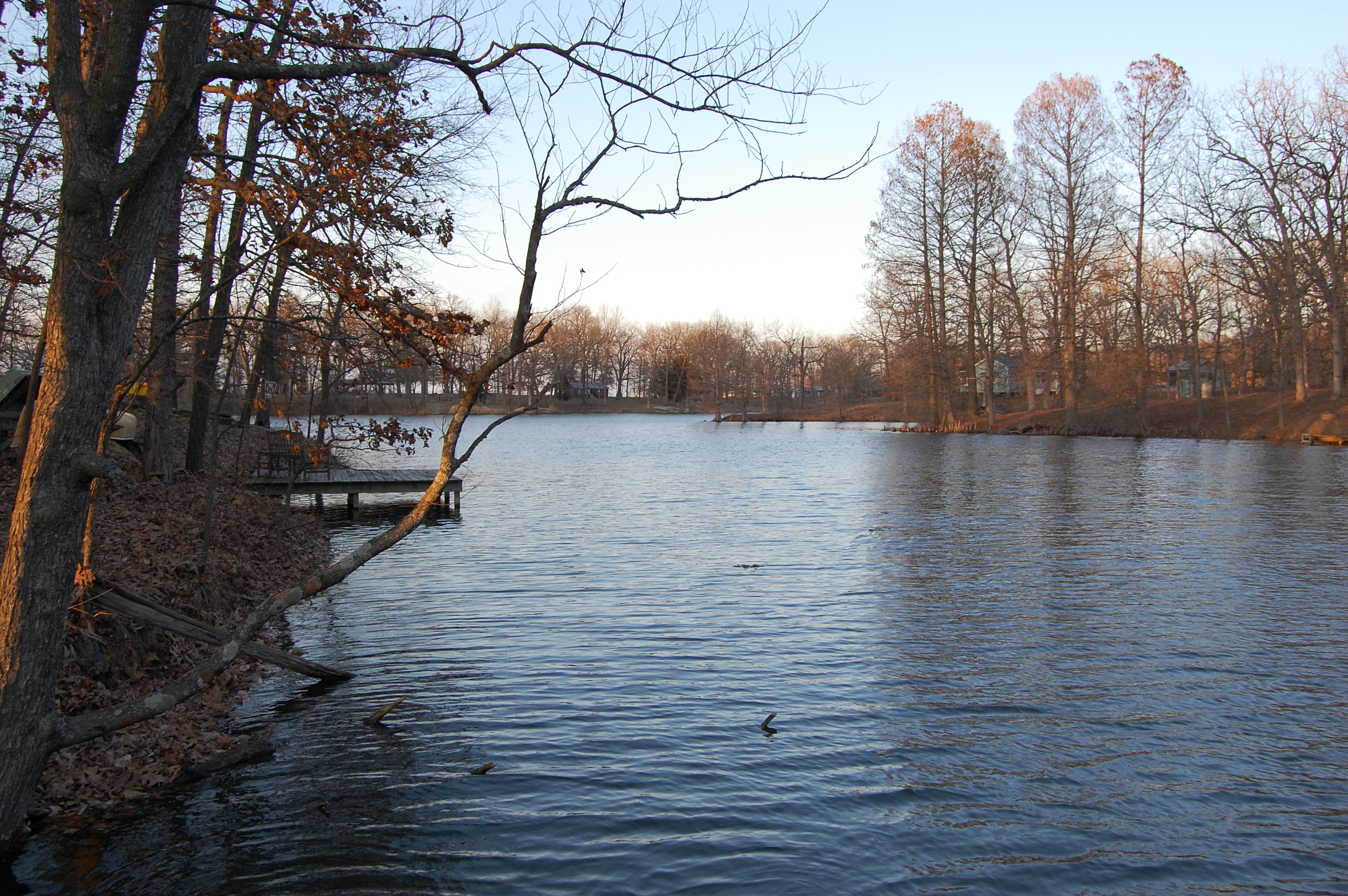
So Close
Topographic Map of N Main St, Hettick, IL, USA
Find elevation by address:

Places near N Main St, Hettick, IL, USA:
Hettick
20619 Amherst Rd
Chesterfield
Chesterfield Township
Greenfield
Rockbridge Township
South St, Medora, IL, USA
Rockbridge
Railroad St, Medora, IL, USA
Northeast 1000 Avenue
325 Railroad St
Medora
34 E, Greenfield, IL, USA
State St, Fidelity, IL, USA
Fidelity
N, Piasa, IL, USA
Piasa
Fidelity Township
Bowman Station Rd, Jerseyville, IL, USA
4790 Hopkins Ln
Recent Searches:
- Elevation of 116, Beartown Road, Underhill, Chittenden County, Vermont, 05489, USA
- Elevation of Window Rock, Colfax County, New Mexico, 87714, USA
- Elevation of 4807, Rosecroft Street, Kempsville Gardens, Virginia Beach, Virginia, 23464, USA
- Elevation map of Matawinie, Quebec, Canada
- Elevation of Sainte-Émélie-de-l'Énergie, Matawinie, Quebec, Canada
- Elevation of Rue du Pont, Sainte-Émélie-de-l'Énergie, Matawinie, Quebec, J0K2K0, Canada
- Elevation of 8, Rue de Bécancour, Blainville, Thérèse-De Blainville, Quebec, J7B1N2, Canada
- Elevation of Wilmot Court North, 163, University Avenue West, Northdale, Waterloo, Region of Waterloo, Ontario, N2L6B6, Canada
- Elevation map of Panamá Province, Panama
- Elevation of Balboa, Panamá Province, Panama
- Elevation of San Miguel, Balboa, Panamá Province, Panama
- Elevation of Isla Gibraleón, San Miguel, Balboa, Panamá Province, Panama
- Elevation of 4655, Krischke Road, Schulenburg, Fayette County, Texas, 78956, USA
- Elevation of Carnegie Avenue, Downtown Cleveland, Cleveland, Cuyahoga County, Ohio, 44115, USA
- Elevation of Walhonding, Coshocton County, Ohio, USA
- Elevation of Clifton Down, Clifton, Bristol, City of Bristol, England, BS8 3HU, United Kingdom
- Elevation map of Auvergne-Rhône-Alpes, France
- Elevation map of Upper Savoy, Auvergne-Rhône-Alpes, France
- Elevation of Chamonix-Mont-Blanc, Upper Savoy, Auvergne-Rhône-Alpes, France
- Elevation of 908, Northwood Drive, Bridge Field, Chesapeake, Virginia, 23322, USA