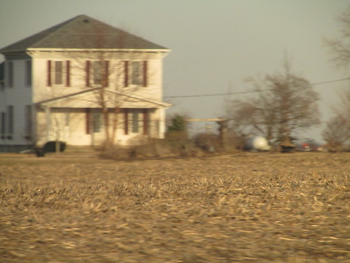
Elevation of Chesterfield Township, IL, USA
Location: United States > Illinois > Macoupin County >
Longitude: -90.093368
Latitude: 39.2167279
Elevation: 174m / 571feet
Barometric Pressure: 99KPa
Related Photos:
Topographic Map of Chesterfield Township, IL, USA
Find elevation by address:

Places in Chesterfield Township, IL, USA:
Places near Chesterfield Township, IL, USA:
Chesterfield
325 Railroad St
Medora
Railroad St, Medora, IL, USA
State St, Fidelity, IL, USA
Fidelity
20619 Amherst Rd
N, Piasa, IL, USA
Piasa
South St, Medora, IL, USA
Rockbridge
Rockbridge Township
Fidelity Township
Hettick
N Main St, Hettick, IL, USA
Bowman Station Rd, Jerseyville, IL, USA
Greenfield
Northeast 1000 Avenue
4790 Hopkins Ln
Piasa Township
Recent Searches:
- Elevation of Corso Fratelli Cairoli, 35, Macerata MC, Italy
- Elevation of Tallevast Rd, Sarasota, FL, USA
- Elevation of 4th St E, Sonoma, CA, USA
- Elevation of Black Hollow Rd, Pennsdale, PA, USA
- Elevation of Oakland Ave, Williamsport, PA, USA
- Elevation of Pedrógão Grande, Portugal
- Elevation of Klee Dr, Martinsburg, WV, USA
- Elevation of Via Roma, Pieranica CR, Italy
- Elevation of Tavkvetili Mountain, Georgia
- Elevation of Hartfords Bluff Cir, Mt Pleasant, SC, USA


