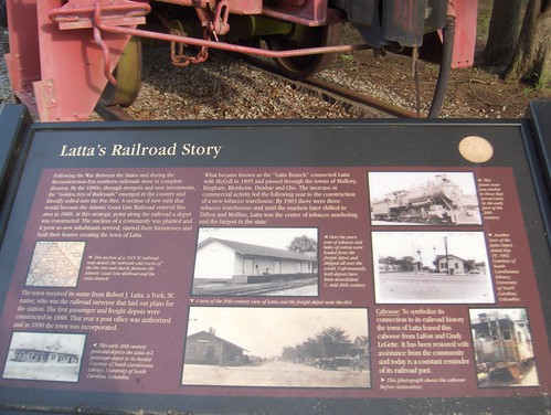
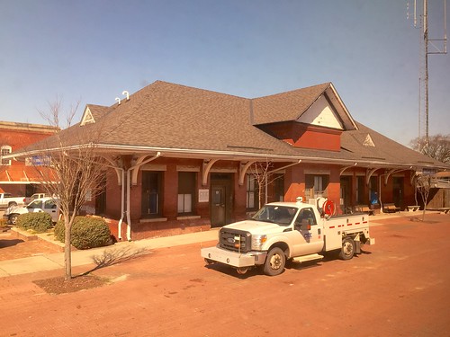
Elevation of N Dew St, Latta, SC, USA
Location: United States > South Carolina > Dillon County >
Longitude: -79.436837
Latitude: 34.3418666
Elevation: -10000m / -32808feet
Barometric Pressure: 295KPa
Related Photos:
Topographic Map of N Dew St, Latta, SC, USA
Find elevation by address:

Places near N Dew St, Latta, SC, USA:
Dillon County
Dillon
403 N 3rd Ave
State Rd S-17-78, Dillon, SC, USA
249 Mt Calvary Rd
Perdue Farms Inc
Cypress Bluff Ct, Dillon, SC, USA
Zion Rd, Mullins, SC, USA
3364 Zion Rd
3434 Zion Rd
3454 Zion Rd
Marion
SC-57, Fork, SC, USA
US-76, Marion, SC, USA
American Legion Rd, Marion, SC, USA
Moores Mill Rd, Marion, SC, USA
775 Arnette Rd
Little Pee Dee River
5444 Zion Rd
5444 Zion Rd
Recent Searches:
- Elevation of Corso Fratelli Cairoli, 35, Macerata MC, Italy
- Elevation of Tallevast Rd, Sarasota, FL, USA
- Elevation of 4th St E, Sonoma, CA, USA
- Elevation of Black Hollow Rd, Pennsdale, PA, USA
- Elevation of Oakland Ave, Williamsport, PA, USA
- Elevation of Pedrógão Grande, Portugal
- Elevation of Klee Dr, Martinsburg, WV, USA
- Elevation of Via Roma, Pieranica CR, Italy
- Elevation of Tavkvetili Mountain, Georgia
- Elevation of Hartfords Bluff Cir, Mt Pleasant, SC, USA
