Elevation of Dillon County, SC, USA
Location: United States > South Carolina >
Longitude: -79.425377
Latitude: 34.3596012
Elevation: 29m / 95feet
Barometric Pressure: 101KPa
Elevation Map:
Satellite Map:
Related Photos:
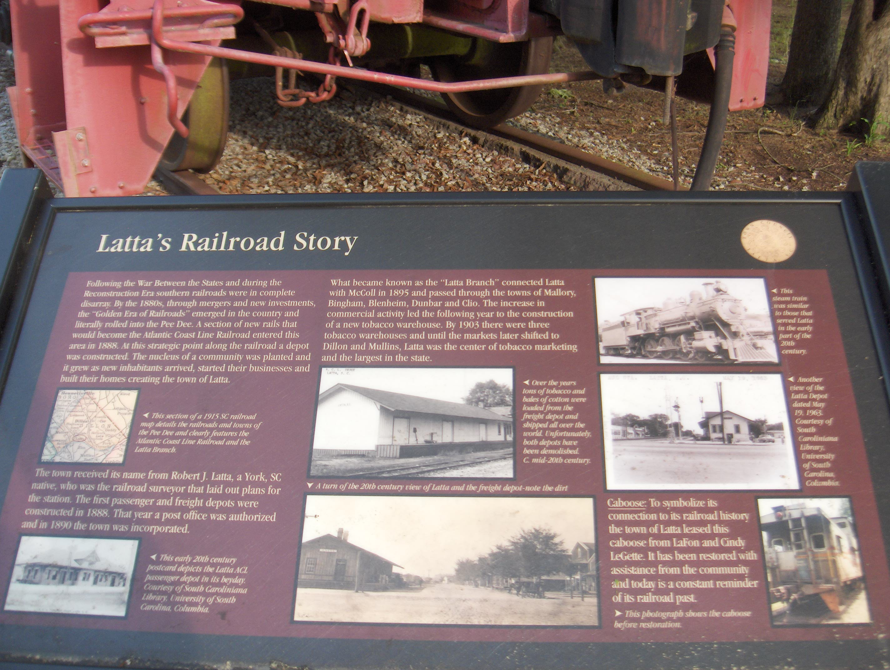
682 Lattas Railroad Story Img_2797
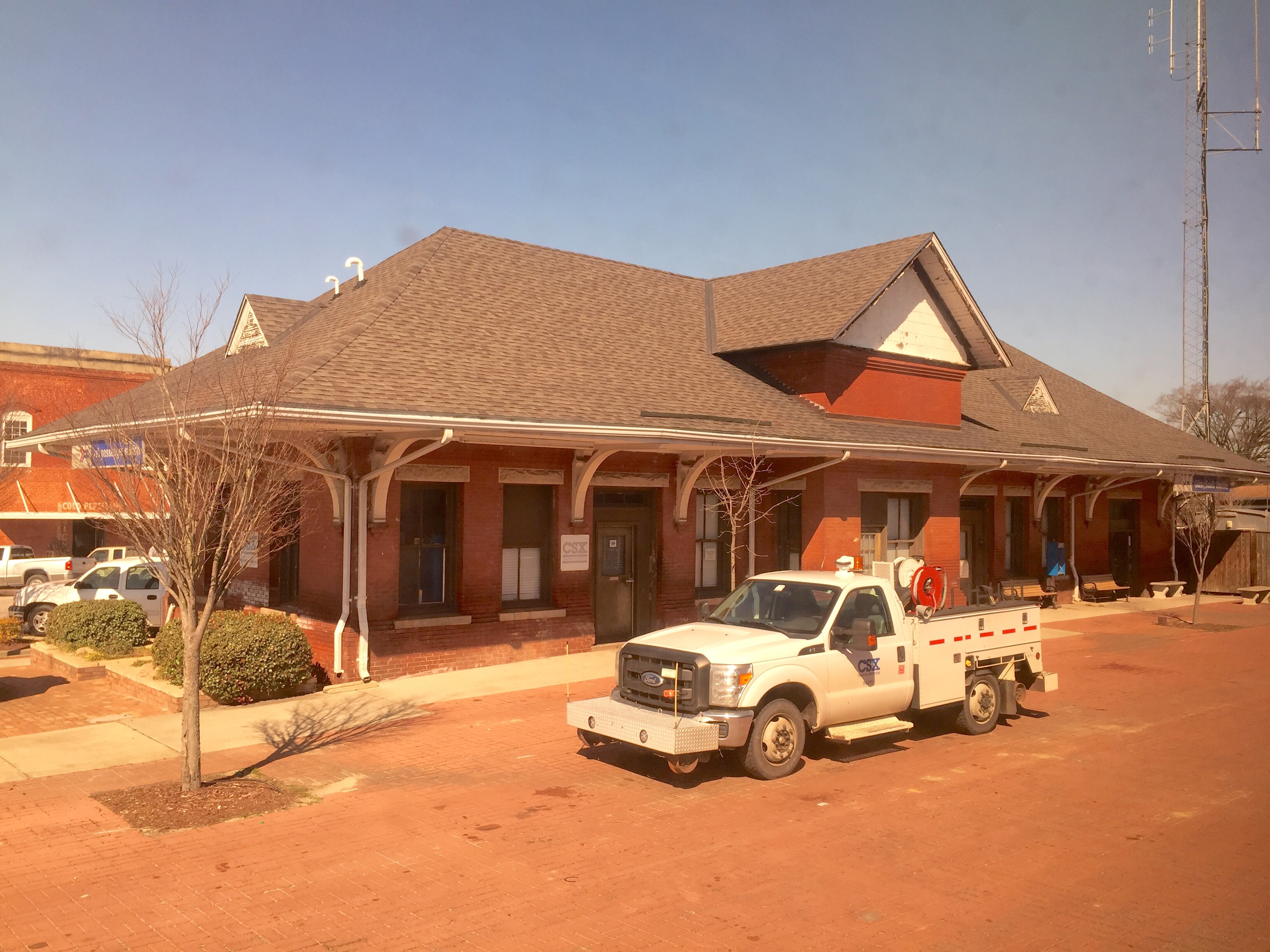
Dillion SC: Atlantic Coast Line

SONY GPS tagging device, GPS-CS1KA

Little Pee Dee State Park
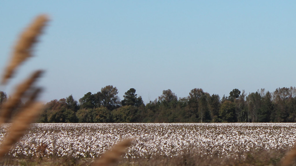
Roadside Cotton

Scrambled Eggs, Grits, Fireworks

Waiting for Harvest
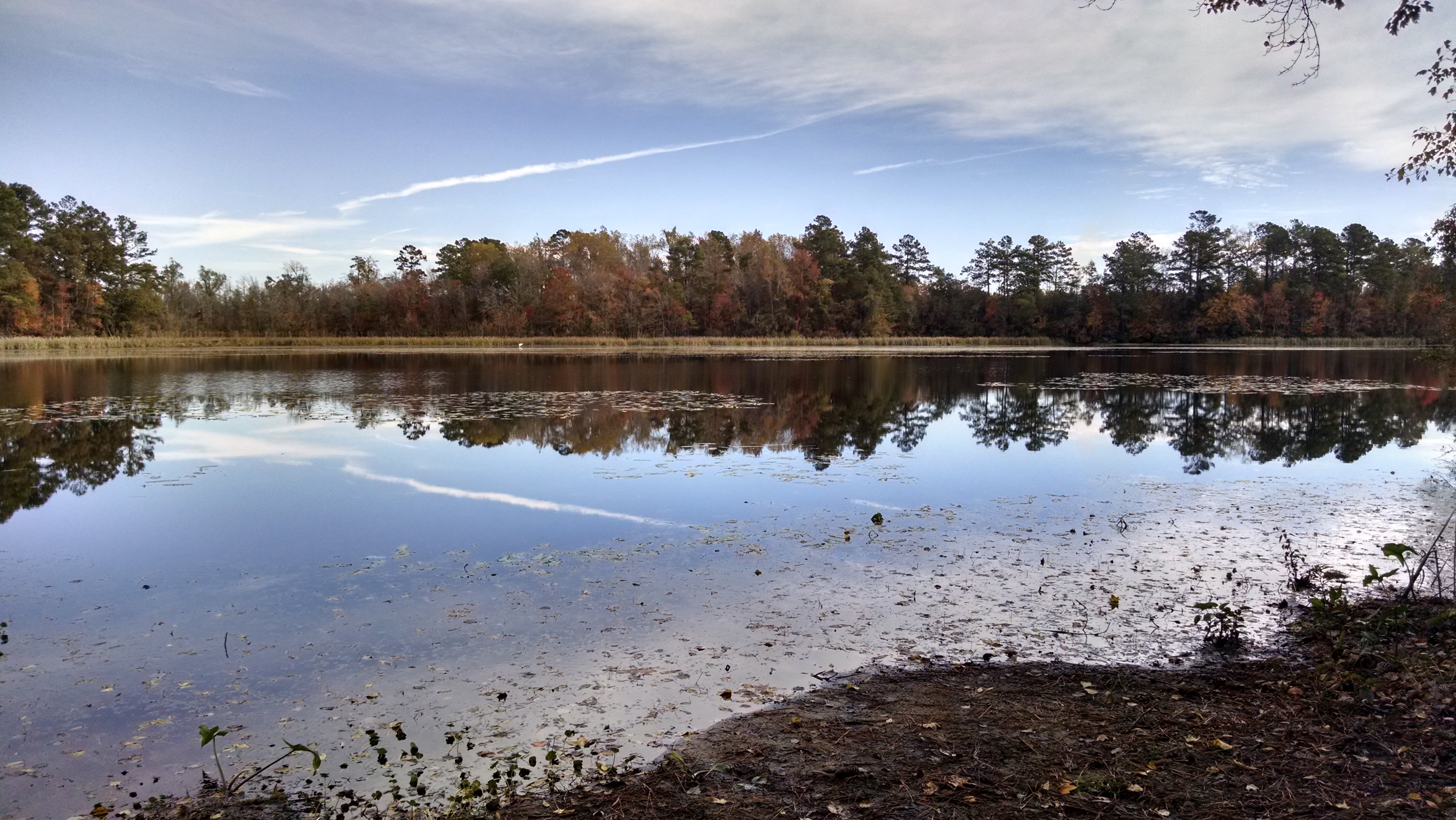
Little Pee Dee State Park

Little Pee Dee State Park
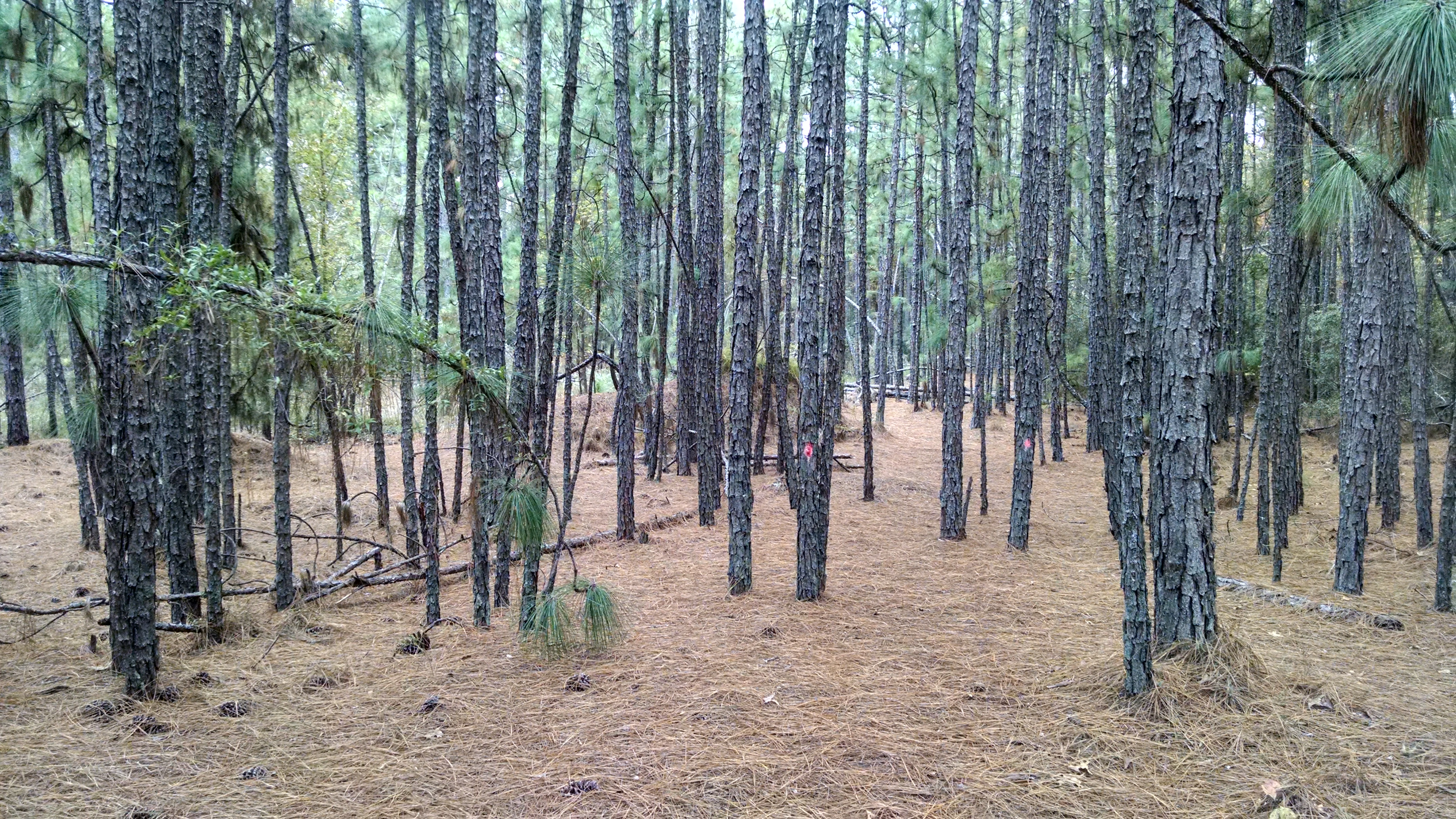
Little Pee Dee State Park
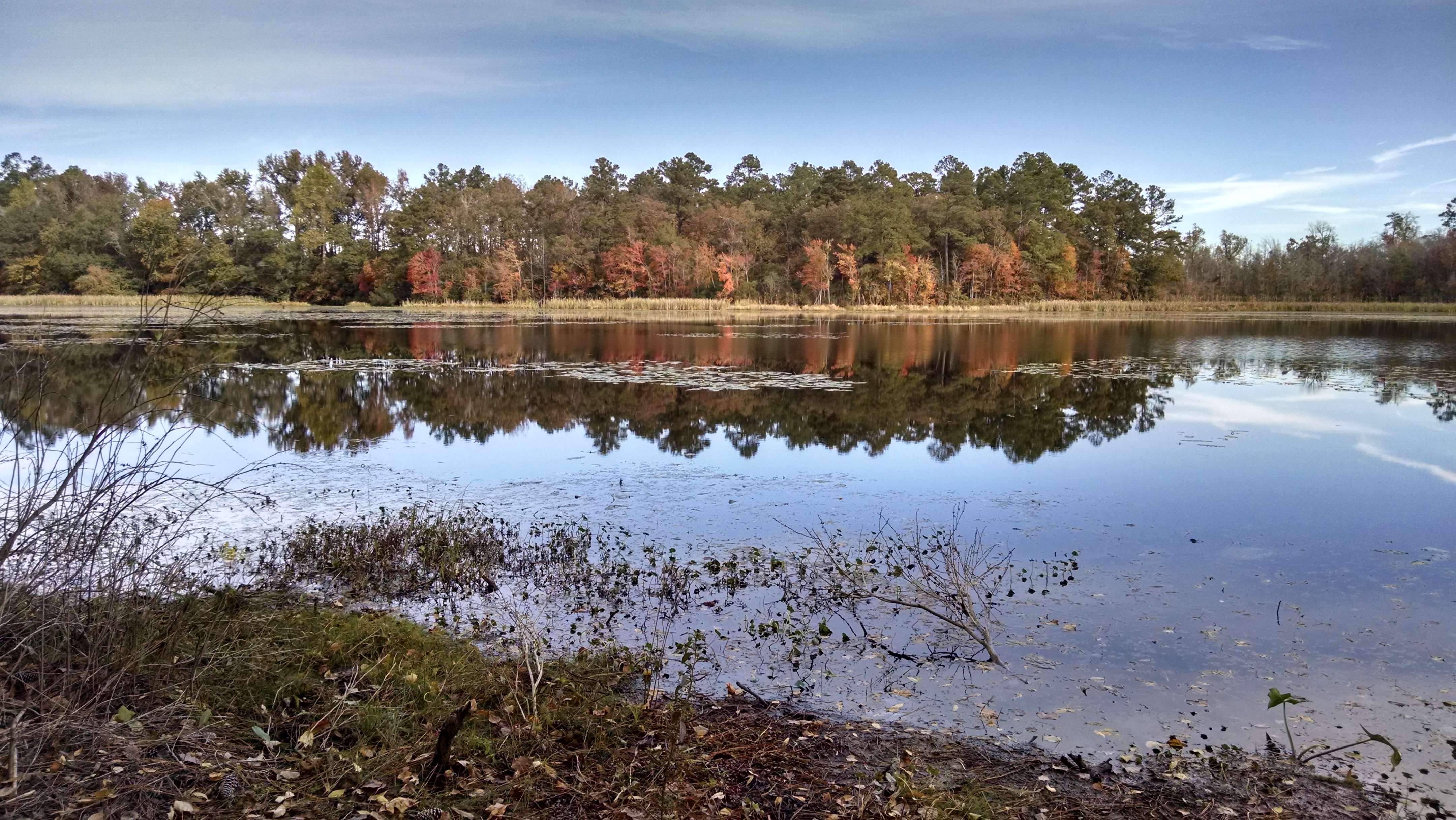
Little Pee Dee State Park

Little Pee Dee State Park

Little Pee Dee State Park
Topographic Map of Dillon County, SC, USA
Find elevation by address:

Places in Dillon County, SC, USA:
Places near Dillon County, SC, USA:
121 N Dew St
Dillon
403 N 3rd Ave
State Rd S-17-78, Dillon, SC, USA
Perdue Farms Inc
249 Mt Calvary Rd
Cypress Bluff Ct, Dillon, SC, USA
Zion Rd, Mullins, SC, USA
3364 Zion Rd
3434 Zion Rd
3454 Zion Rd
SC-57, Fork, SC, USA
775 Arnette Rd
Marion
American Legion Rd, Marion, SC, USA
Clinton Rd, Fairmont, NC, USA
US-76, Marion, SC, USA
Moores Mill Rd, Marion, SC, USA
5444 Zion Rd
5444 Zion Rd
Recent Searches:
- Elevation of Corso Fratelli Cairoli, 35, Macerata MC, Italy
- Elevation of Tallevast Rd, Sarasota, FL, USA
- Elevation of 4th St E, Sonoma, CA, USA
- Elevation of Black Hollow Rd, Pennsdale, PA, USA
- Elevation of Oakland Ave, Williamsport, PA, USA
- Elevation of Pedrógão Grande, Portugal
- Elevation of Klee Dr, Martinsburg, WV, USA
- Elevation of Via Roma, Pieranica CR, Italy
- Elevation of Tavkvetili Mountain, Georgia
- Elevation of Hartfords Bluff Cir, Mt Pleasant, SC, USA