Elevation of Zion Rd, Mullins, SC, USA
Location: United States > South Carolina > Marion County > Mullins >
Longitude: -79.316228
Latitude: 34.2477496
Elevation: 32m / 105feet
Barometric Pressure: 101KPa
Elevation Map:
Satellite Map:
Related Photos:

SONY GPS tagging device, GPS-CS1KA

Little Pee Dee State Park
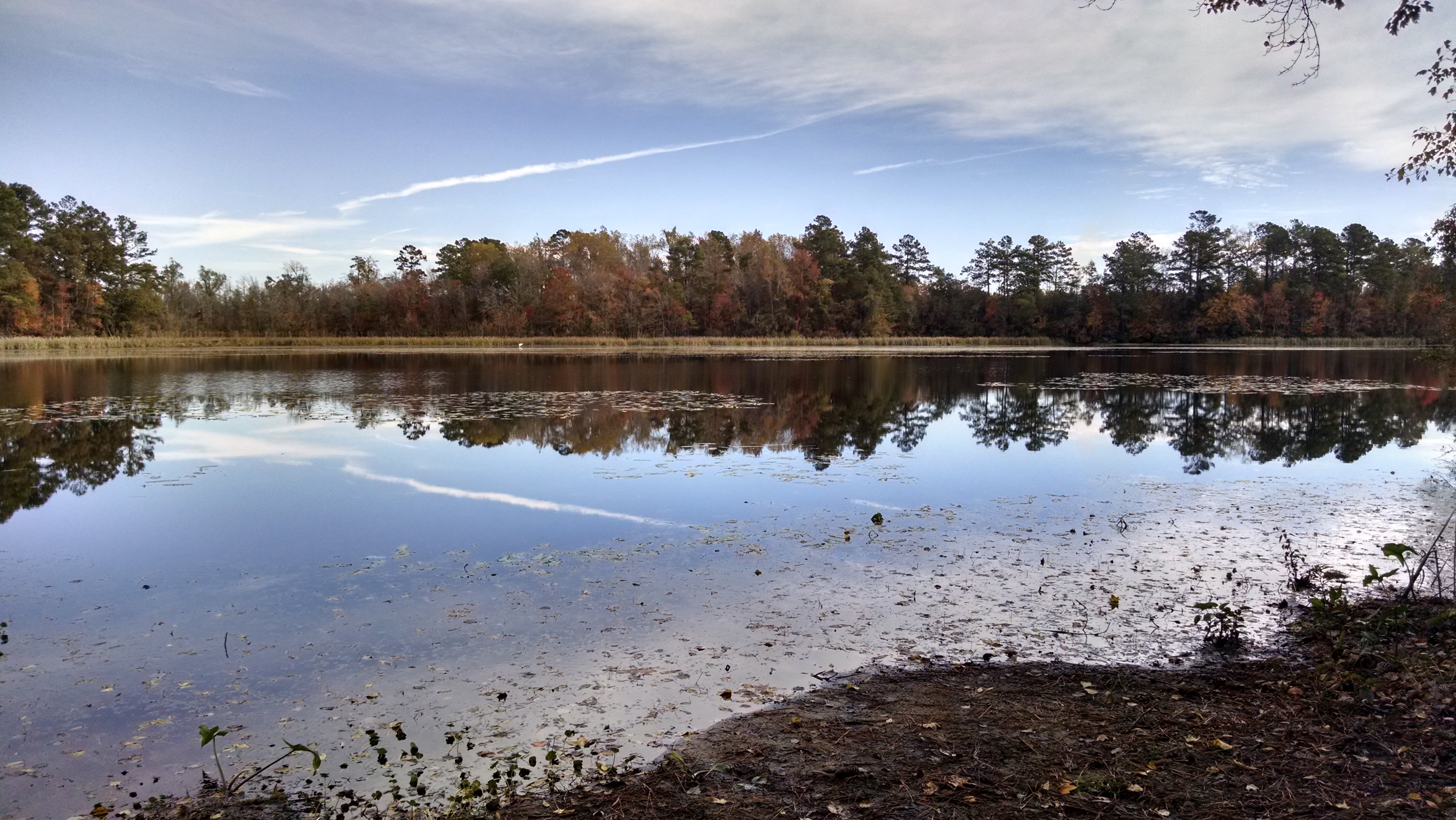
Little Pee Dee State Park
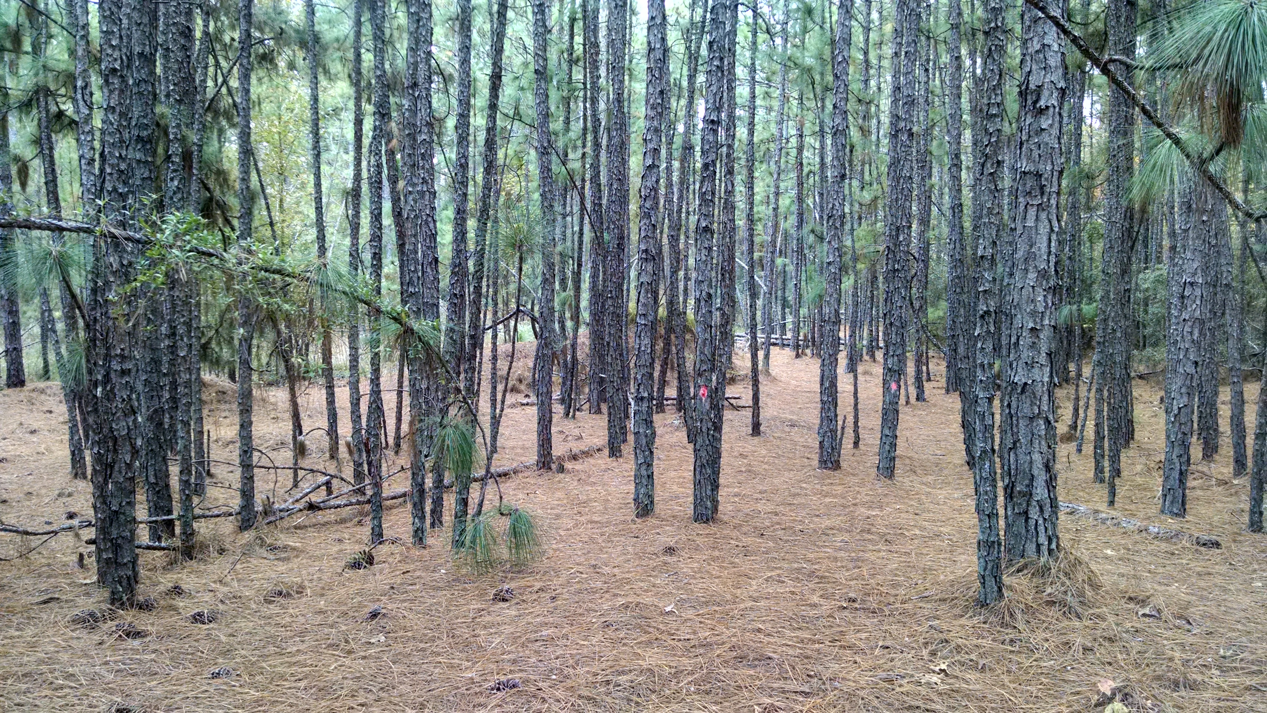
Little Pee Dee State Park
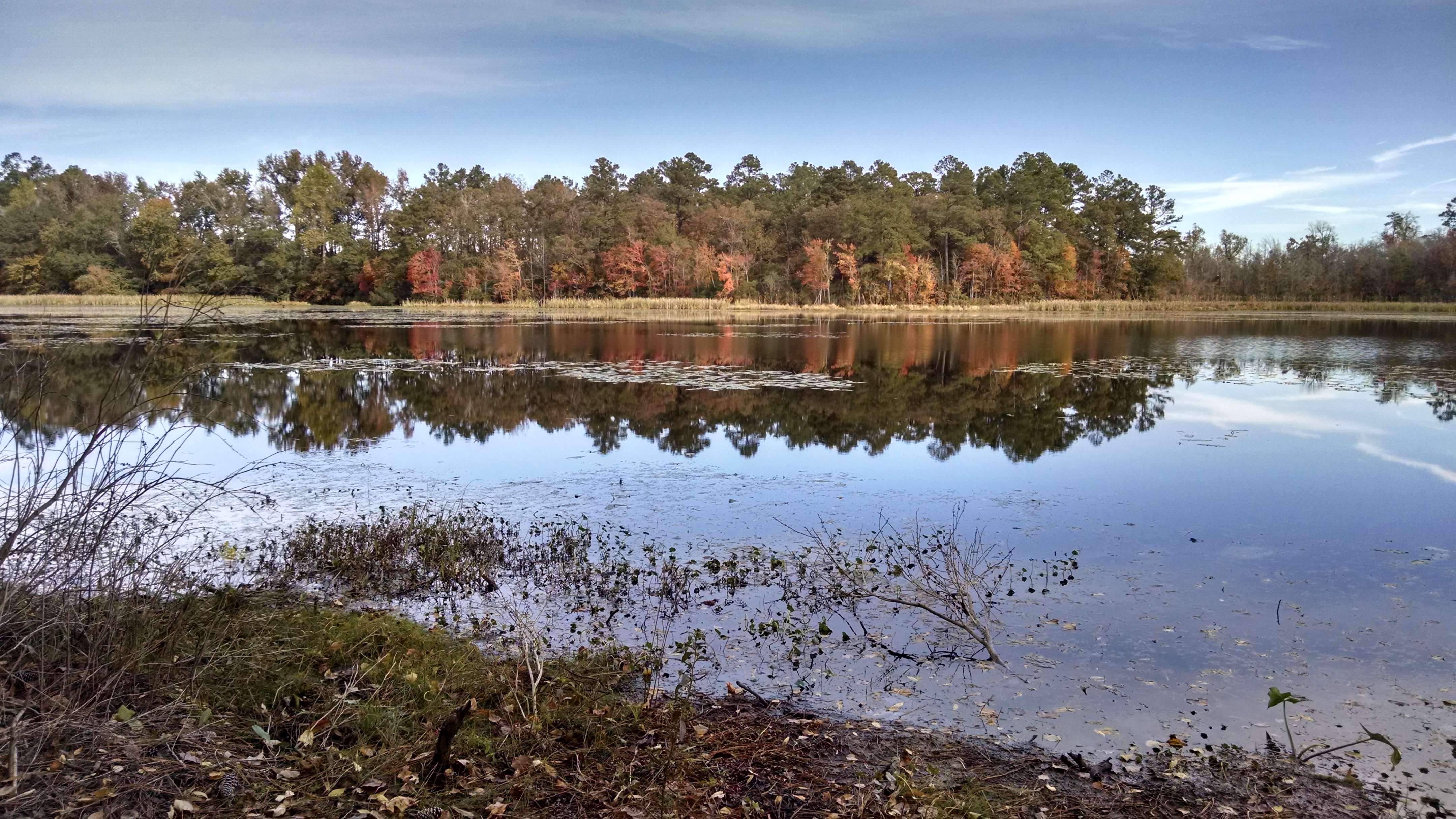
Little Pee Dee State Park

Little Pee Dee State Park

Little Pee Dee State Park
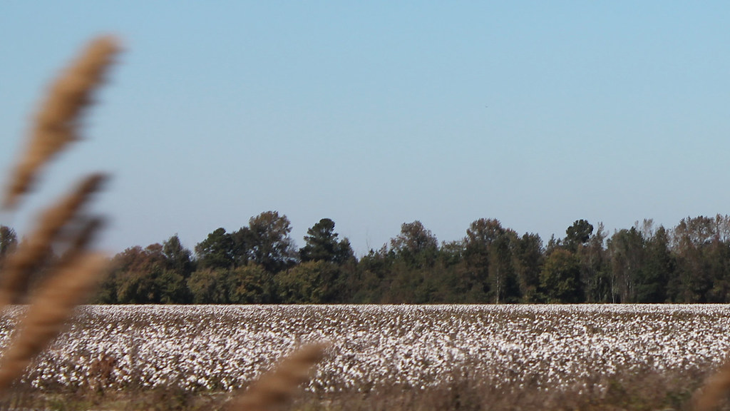
Roadside Cotton

Waiting for Harvest

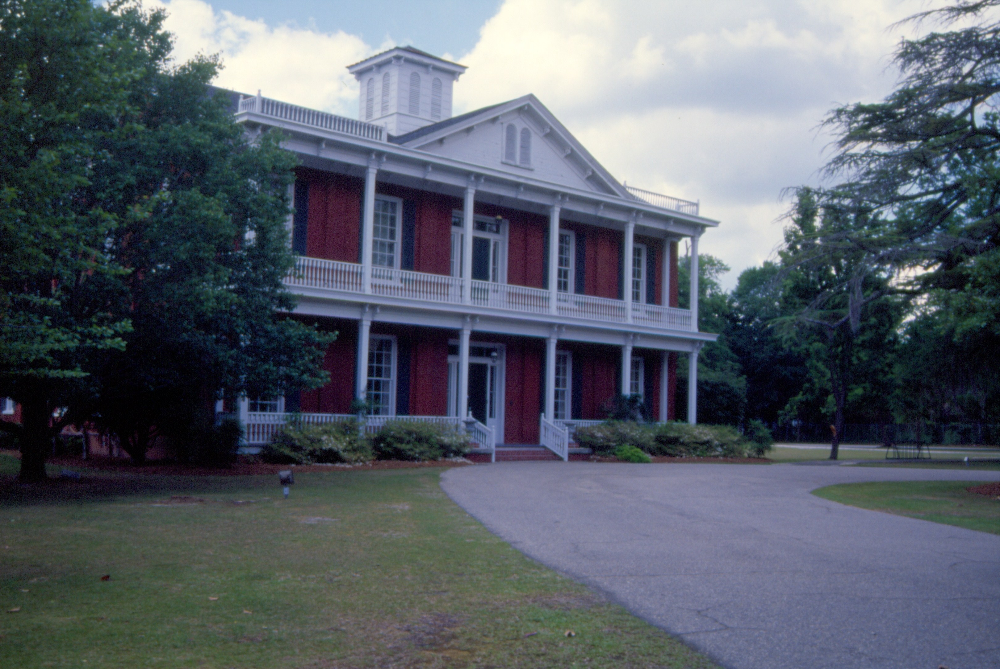
Marion County Museum-025
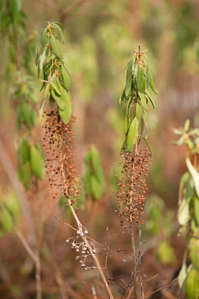
Kalmia carolina (Carolina Bog Myrtle)

I WONDER IF THEY ARE ON-LINE
074 Old Schoolhouse Img269_23
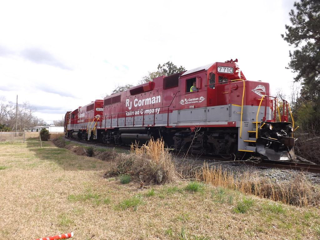
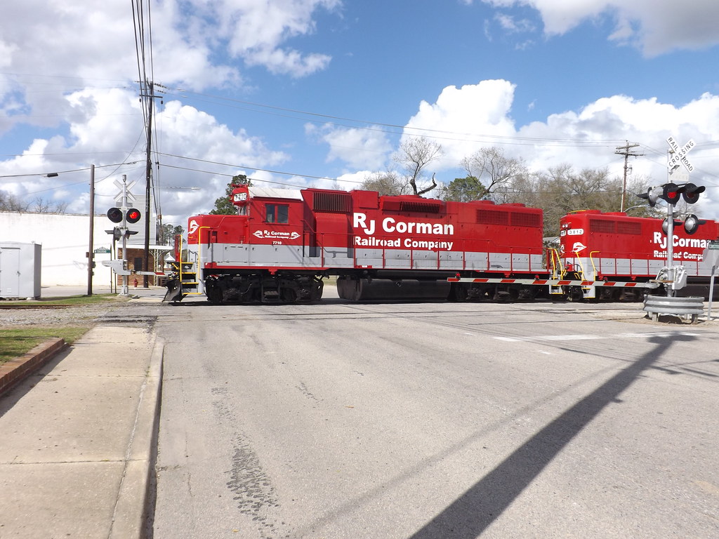
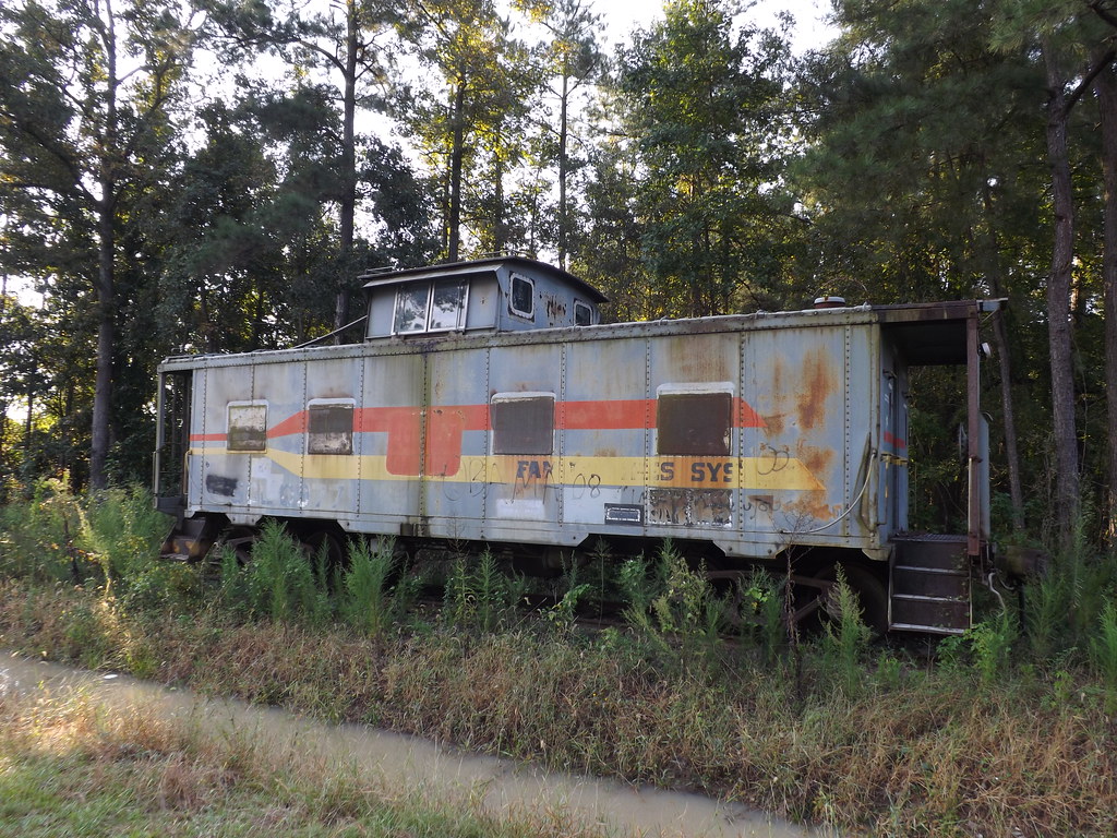
RJ Corman in SC
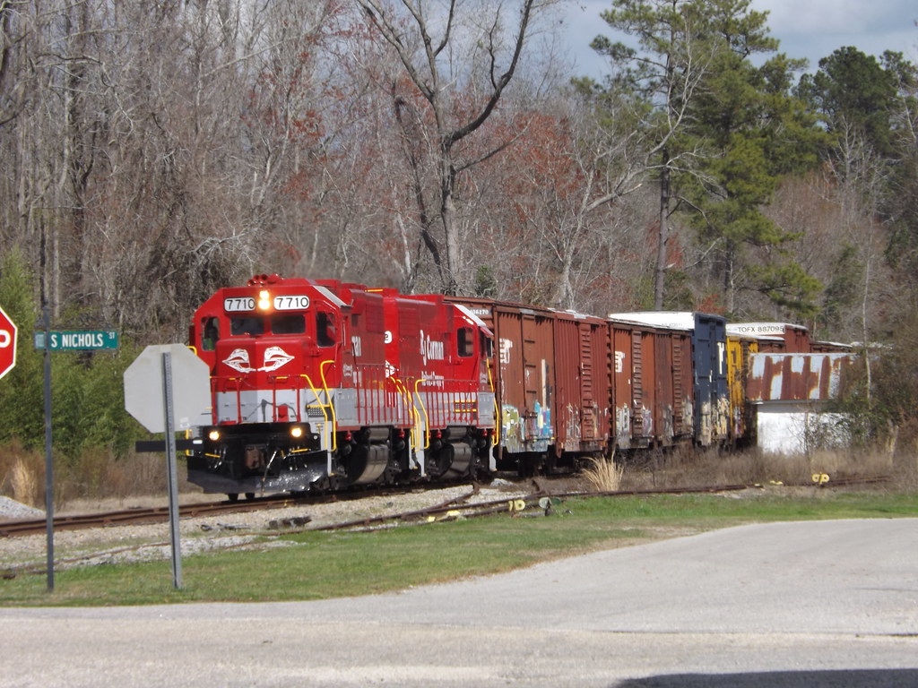
Rumbling through Nichols, SC
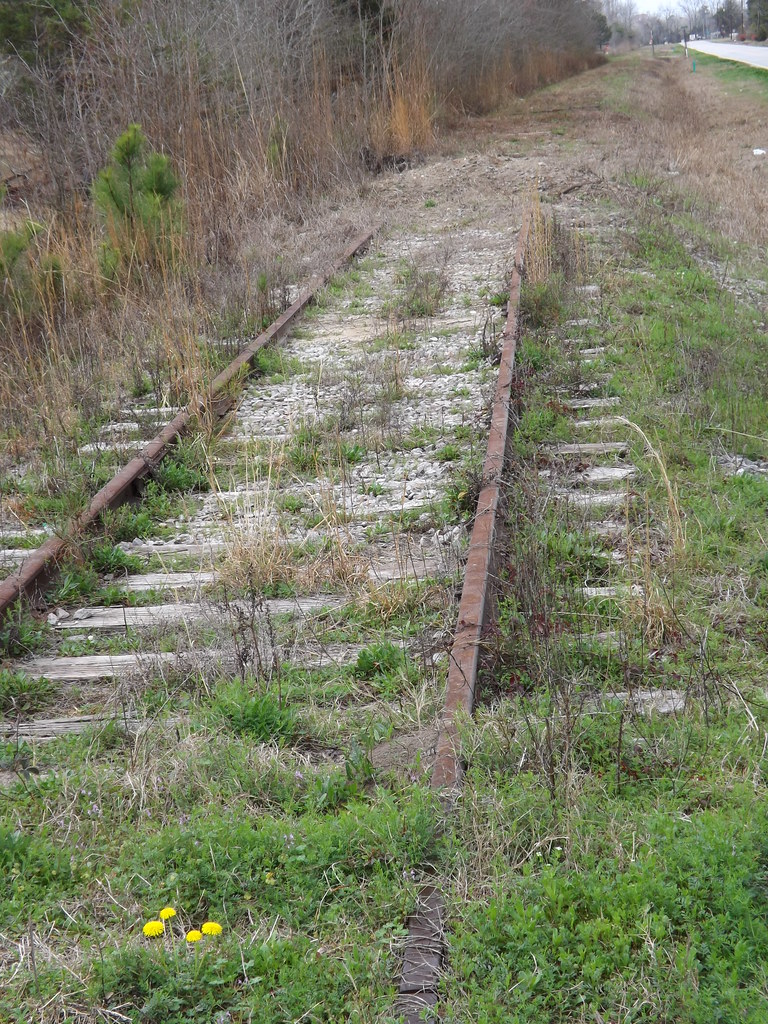
End of the Line

Backing into the interchange track
Rocking Nichols, SC

Video Rocking the diamond in Mullins, SC
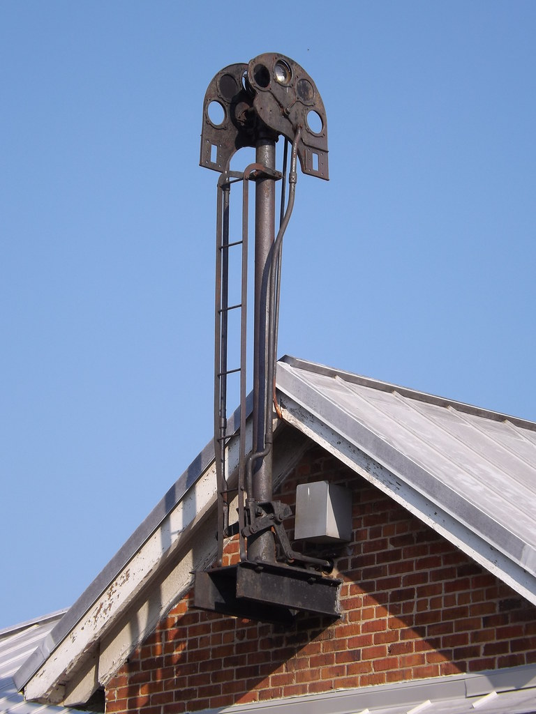
Disused Semaphore
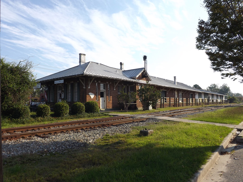
Mullins SC Station

SCL 0977
SCL 0977

SCL 0977

Persea palustris (Swamp Bay)
#AbingdonHotel #Latta #SouthCarolina
Topographic Map of Zion Rd, Mullins, SC, USA
Find elevation by address:

Places near Zion Rd, Mullins, SC, USA:
3434 Zion Rd
3364 Zion Rd
Zion Rd, Mullins, SC, USA
5444 Zion Rd
5444 Zion Rd
5434 Zion Rd
5444 Zion Rd
Mullins
Little Pee Dee River
American Legion Rd, Marion, SC, USA
1315 French Rd
Marion
5808 Cartwheel Rd
5808 Cartwheel Rd
5808 Cartwheel Rd
133 Gilchrist Rd
3959 Sc-917
818 Grices Ferry Ct
State Rd S--92, Nichols, SC, USA
Nichols
Recent Searches:
- Elevation of Corso Fratelli Cairoli, 35, Macerata MC, Italy
- Elevation of Tallevast Rd, Sarasota, FL, USA
- Elevation of 4th St E, Sonoma, CA, USA
- Elevation of Black Hollow Rd, Pennsdale, PA, USA
- Elevation of Oakland Ave, Williamsport, PA, USA
- Elevation of Pedrógão Grande, Portugal
- Elevation of Klee Dr, Martinsburg, WV, USA
- Elevation of Via Roma, Pieranica CR, Italy
- Elevation of Tavkvetili Mountain, Georgia
- Elevation of Hartfords Bluff Cir, Mt Pleasant, SC, USA