Elevation of N Commerce St, Crane, MO, USA
Location: United States > Missouri > Stone County > Pierce Township > Crane >
Longitude: -93.571611
Latitude: 36.9050731
Elevation: 348m / 1142feet
Barometric Pressure: 97KPa
Elevation Map:
Satellite Map:
Related Photos:
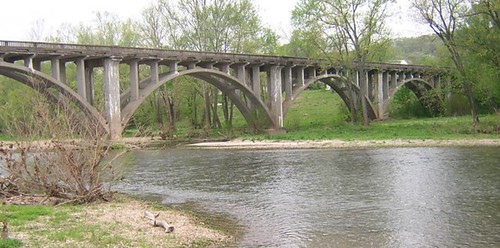
Galena Y Bridge- Side View
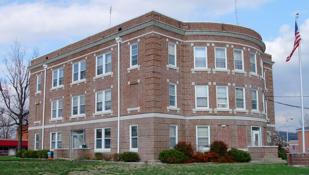
Stone County Courthouse (Galena, Missouri)
Marionville Diamond-DX --North Side
Marionville Diamond-DX -- South Side
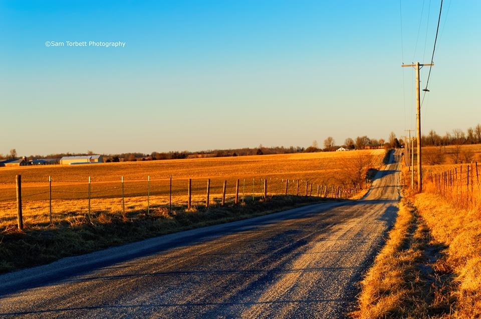
Country Road at Sunset
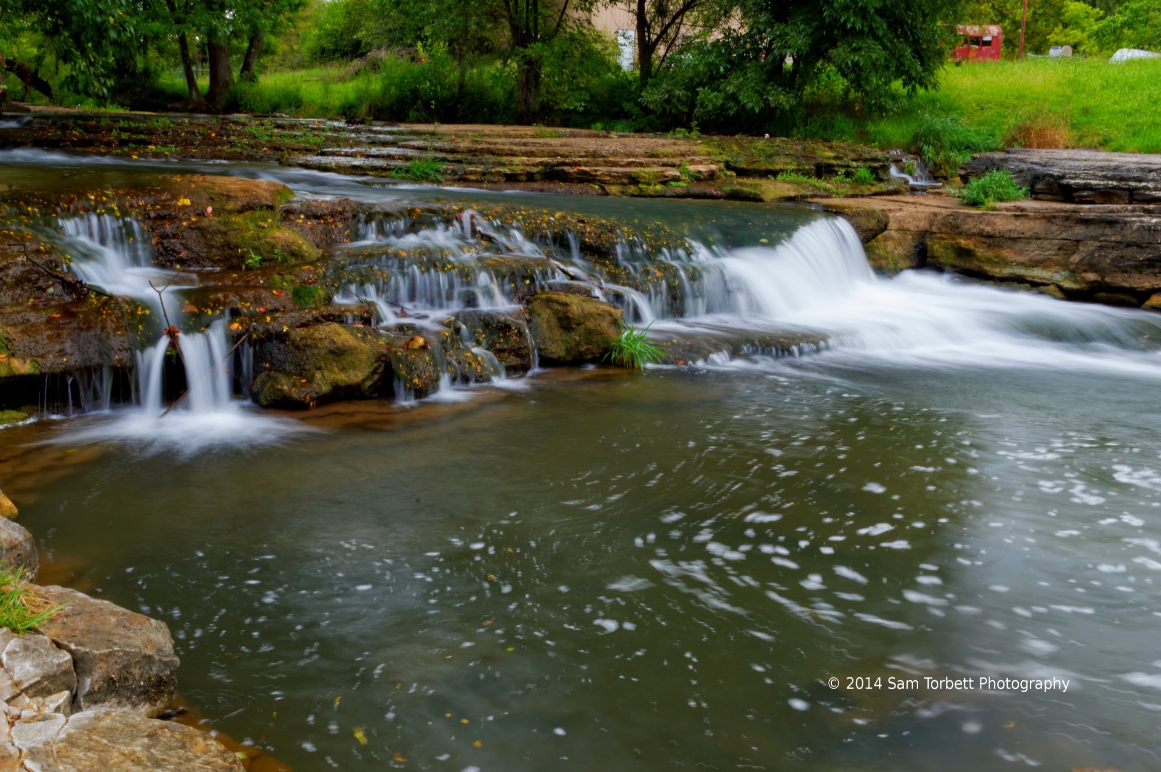
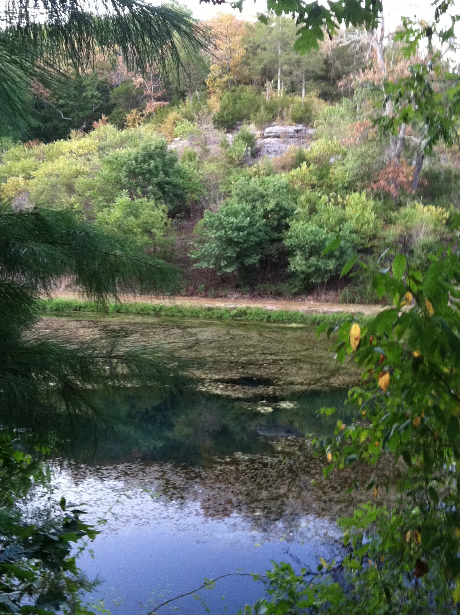
Spring Creek
Snow Drop Rd.

Skyline Drive, Mark Twain National Forest
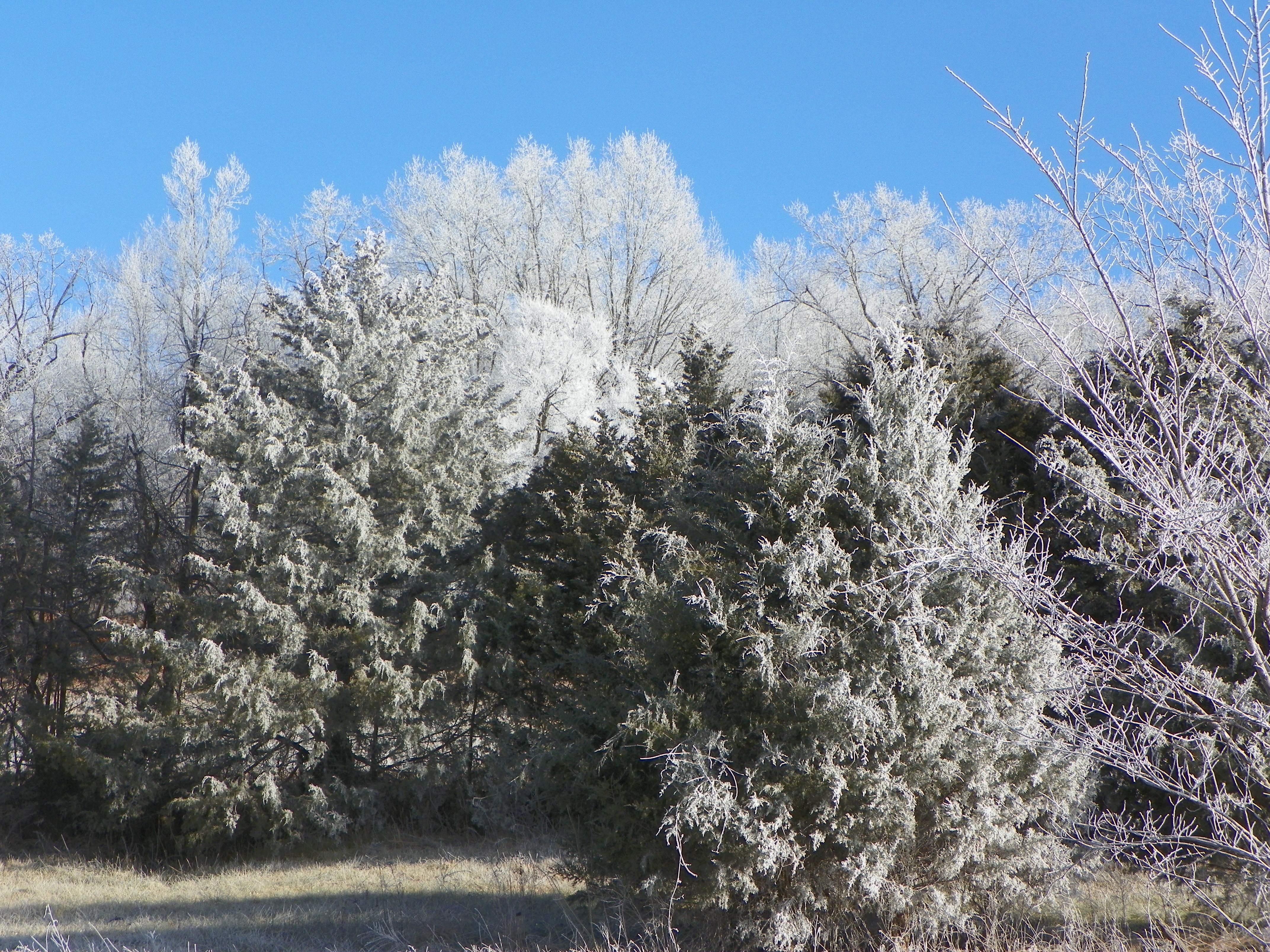
Frosty winter day
Silverlake mill
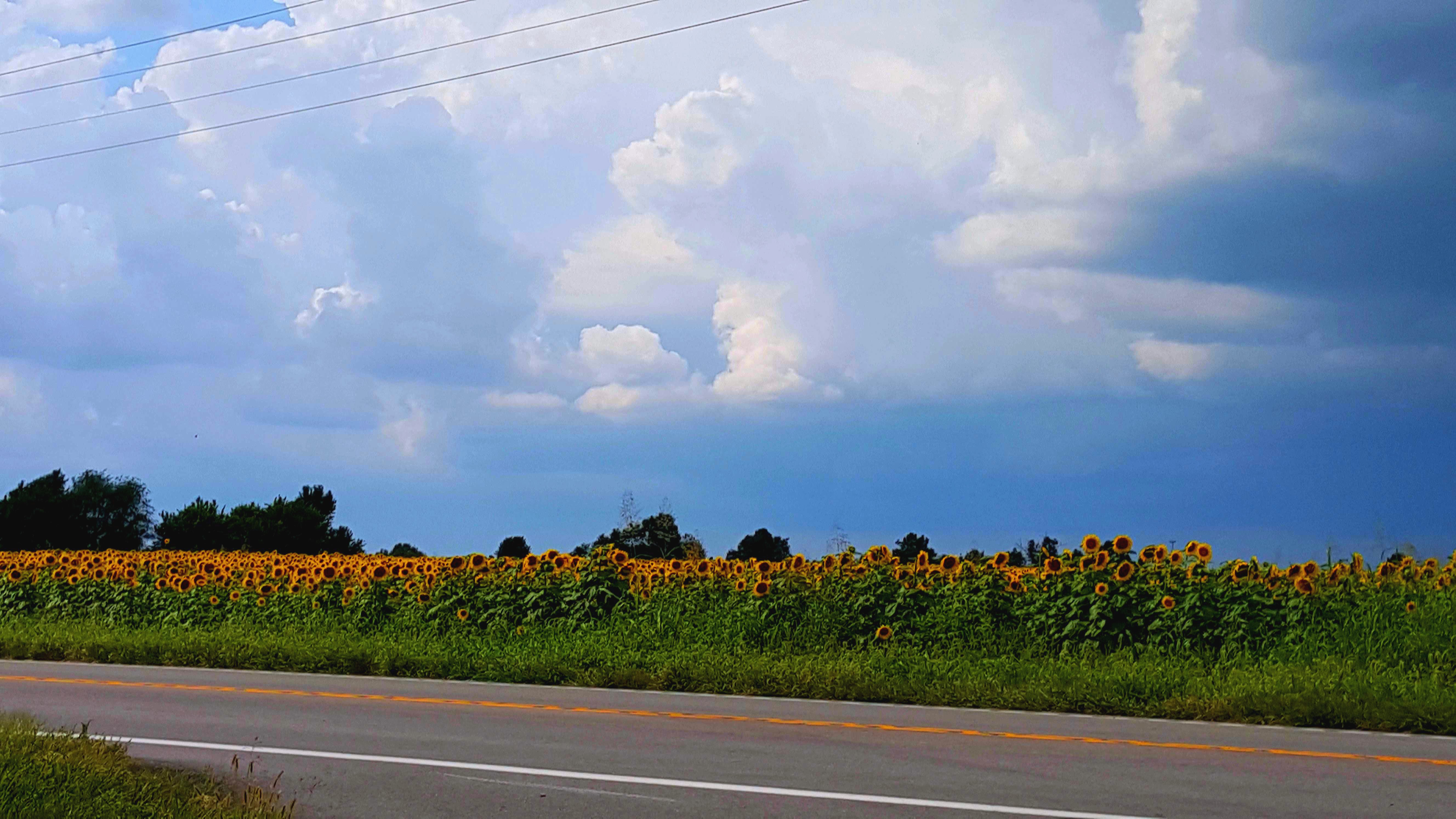
Sunflowers before the storm
Topographic Map of N Commerce St, Crane, MO, USA
Find elevation by address:

Places near N Commerce St, Crane, MO, USA:
Crane
Pierce Township
349 August Dr
134 Circle C Ln
Lincoln Township
Lawrence, Aurora, MO, USA
Crane Creek Township
Hurley
E Main St, Crane, MO, USA
Wheelerville
MO-, Crane, MO, USA
Hurley Township
Alpine Wood Products
1339 Old Miller Rd
Marionville
23892 Farm Rd 2085
25 Basil Ln, Billings, MO, USA
Buck Prairie Township
Union Township
1333 Camp Clark Hill
Recent Searches:
- Elevation of Corso Fratelli Cairoli, 35, Macerata MC, Italy
- Elevation of Tallevast Rd, Sarasota, FL, USA
- Elevation of 4th St E, Sonoma, CA, USA
- Elevation of Black Hollow Rd, Pennsdale, PA, USA
- Elevation of Oakland Ave, Williamsport, PA, USA
- Elevation of Pedrógão Grande, Portugal
- Elevation of Klee Dr, Martinsburg, WV, USA
- Elevation of Via Roma, Pieranica CR, Italy
- Elevation of Tavkvetili Mountain, Georgia
- Elevation of Hartfords Bluff Cir, Mt Pleasant, SC, USA