Elevation of MO-, Crane, MO, USA
Location: United States > Missouri > Barry County > Crane Creek Township >
Longitude: -93.631347
Latitude: 36.8366497
Elevation: 444m / 1457feet
Barometric Pressure: 96KPa
Elevation Map:
Satellite Map:
Related Photos:
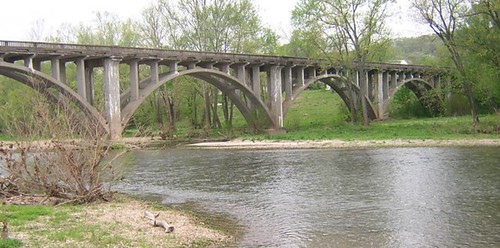
Galena Y Bridge- Side View

The rather inconspicuous (and unmarked) entrance to the Piney Creek Tower (Pine View) Trailhead

Flat Creek 2080-Side View
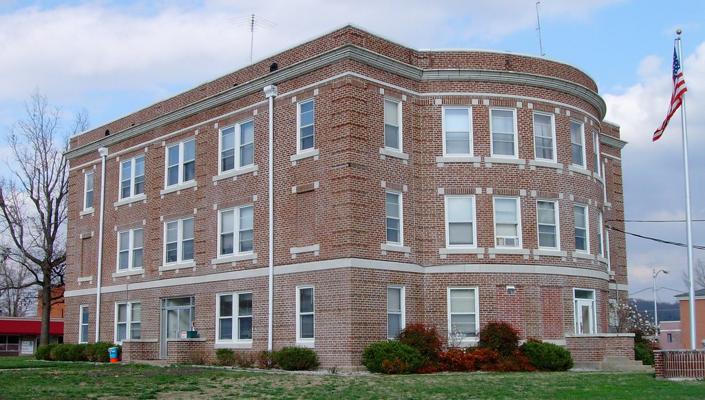
Stone County Courthouse (Galena, Missouri)
Flat Creek SIde View

It's not obvious from this picture, but the Lake Trail forks right and the unmarked 'Old Farm Trail' goes straight on.
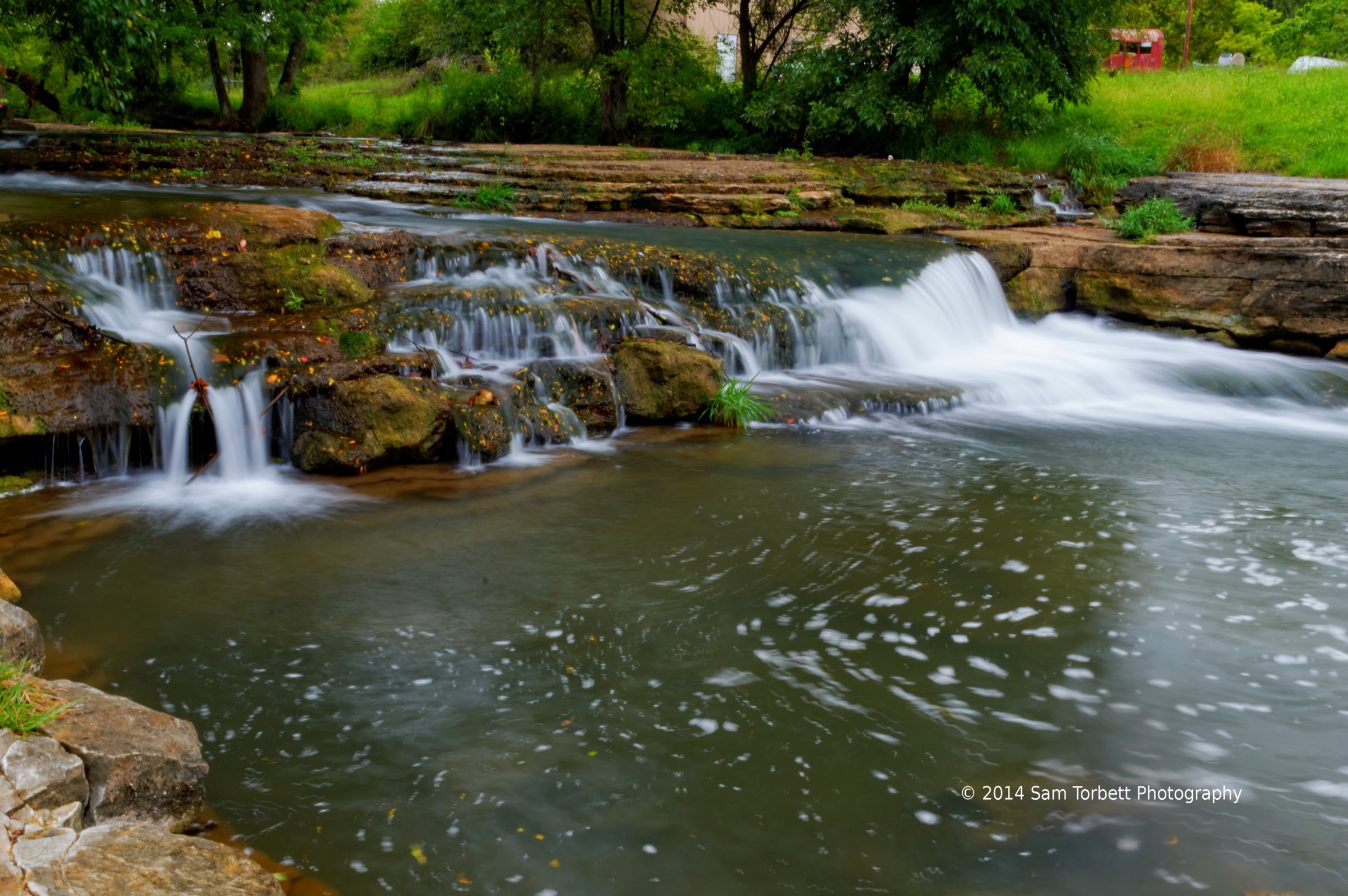
Spring Creek
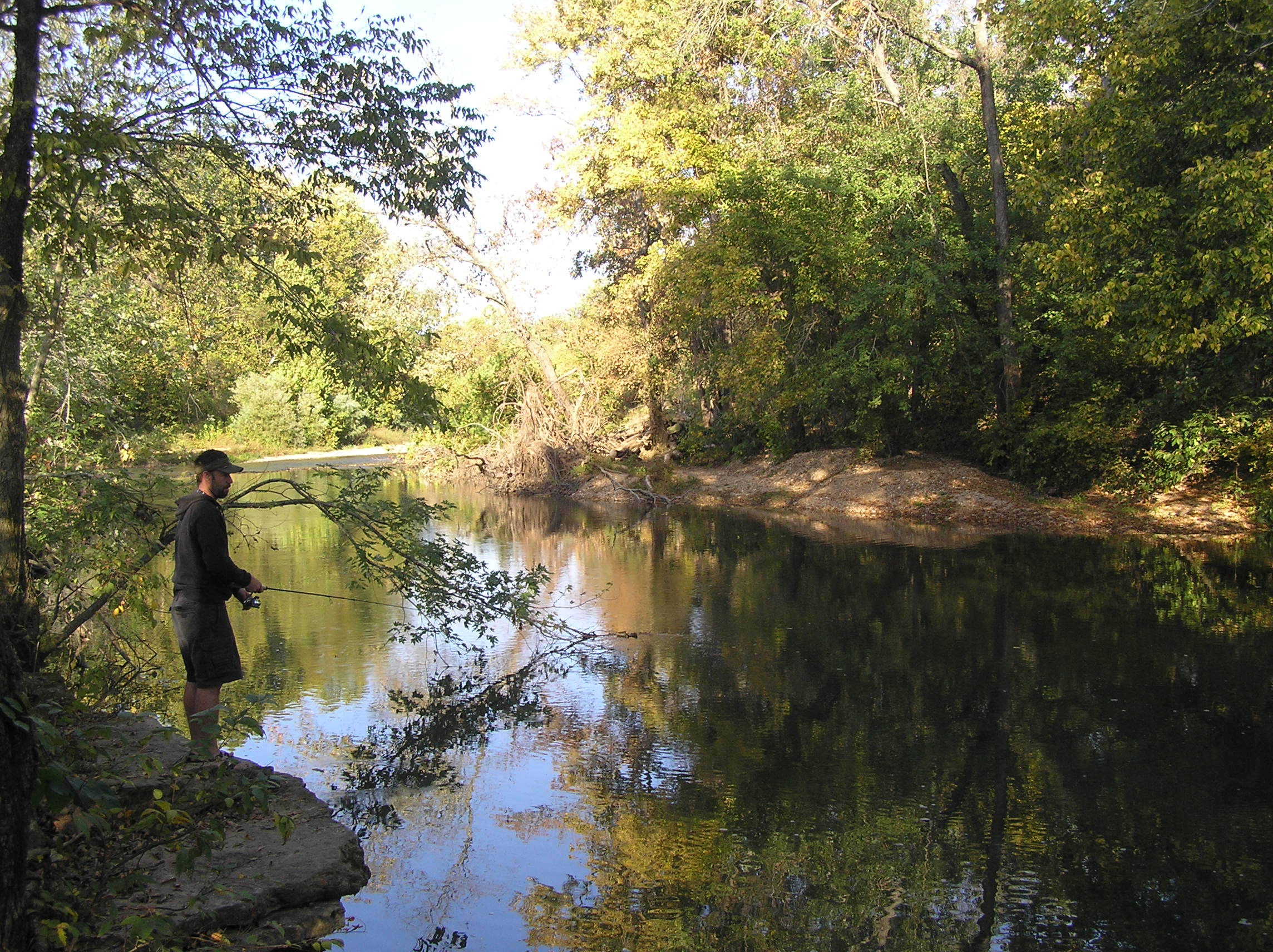
Kori Fishing the creek

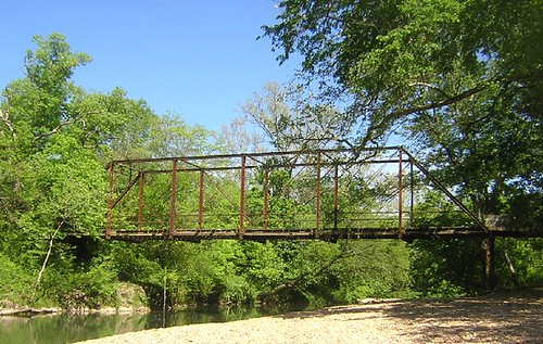
Missouri Bridge

Piney Creek Wilderness Panorama

Skyline Drive, Mark Twain National Forest

A Snail
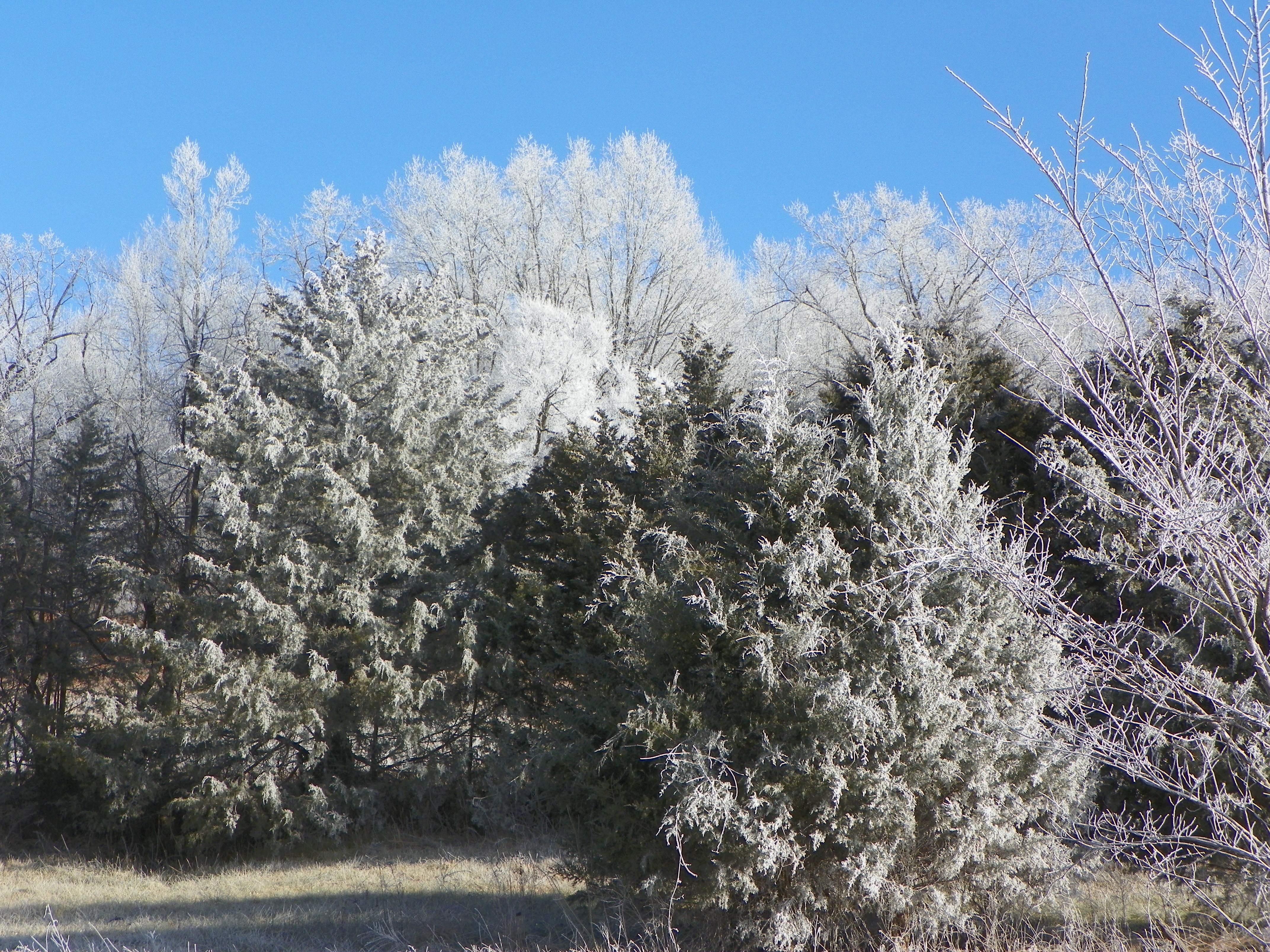
Frosty winter day

It's not obvious but the Lake Trail forks right and the unmarked 'Old Farm Trail goes straight on.

On the Old Farm Trail - Piney Creek Wilderness
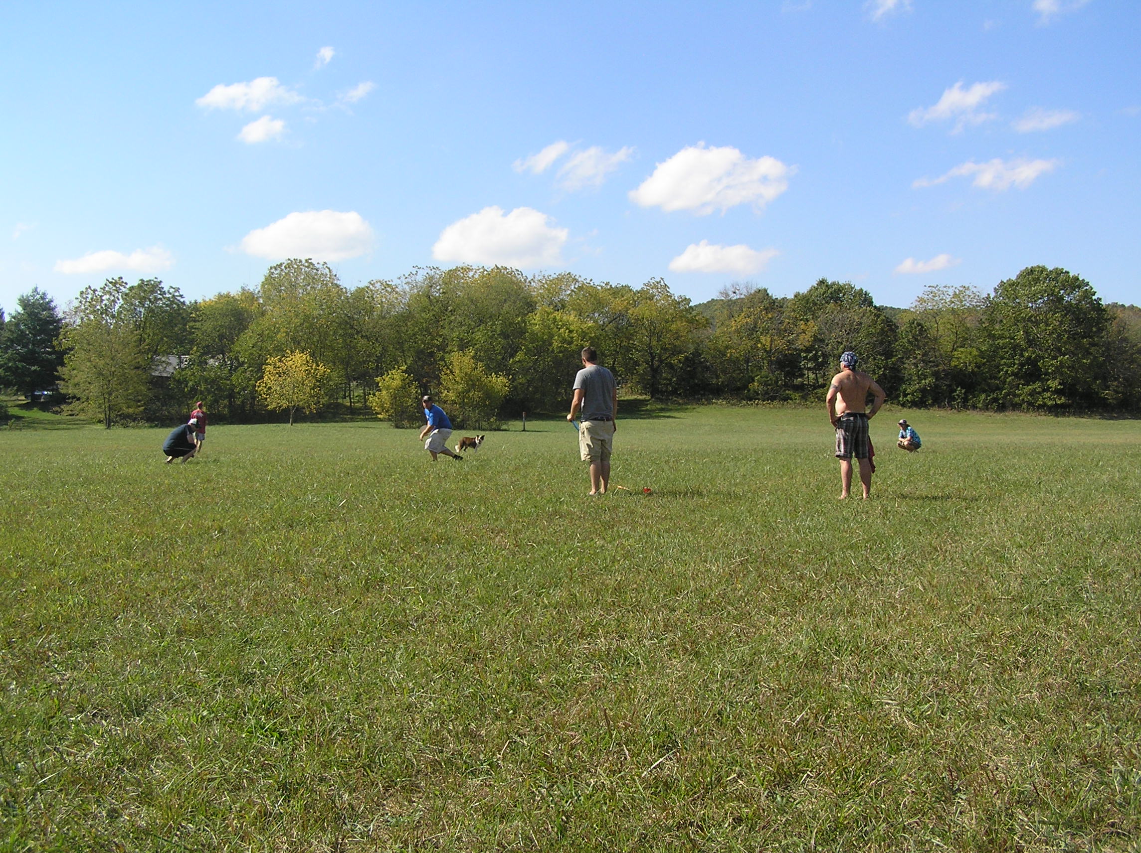
Outstanding in our Field
Topographic Map of MO-, Crane, MO, USA
Find elevation by address:

Places near MO-, Crane, MO, USA:
Wheelerville
23892 Farm Rd 2085
Crane Creek Township
349 August Dr
134 Circle C Ln
19366 Fr 2065
N Commerce St, Crane, MO, USA
Crane
Pierce Township
Lincoln Township
Lawrence, Aurora, MO, USA
1065 Holiday Hills Dr
17164 Mo-39
1031 Eaglecrest Rd
1339 Old Miller Rd
714 Eagle Landing Rd
Sunset Drive In Theatre
Alpine Wood Products
Flat Creek A Township
Washington Township
Recent Searches:
- Elevation of Corso Fratelli Cairoli, 35, Macerata MC, Italy
- Elevation of Tallevast Rd, Sarasota, FL, USA
- Elevation of 4th St E, Sonoma, CA, USA
- Elevation of Black Hollow Rd, Pennsdale, PA, USA
- Elevation of Oakland Ave, Williamsport, PA, USA
- Elevation of Pedrógão Grande, Portugal
- Elevation of Klee Dr, Martinsburg, WV, USA
- Elevation of Via Roma, Pieranica CR, Italy
- Elevation of Tavkvetili Mountain, Georgia
- Elevation of Hartfords Bluff Cir, Mt Pleasant, SC, USA