Elevation of Circle C Ln, Galena, MO, USA
Location: United States > Missouri > Stone County > Lincoln Township >
Longitude: -93.547246
Latitude: 36.8486048
Elevation: 399m / 1309feet
Barometric Pressure: 97KPa
Elevation Map:
Satellite Map:
Related Photos:
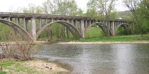
Galena Y Bridge- Side View
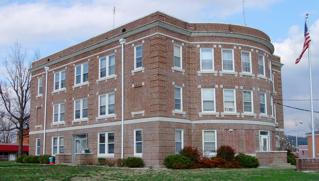
Stone County Courthouse (Galena, Missouri)
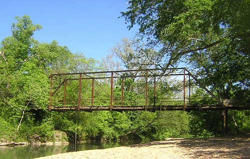
Flat Creek SIde View
HIP_330629590.734695

Table Rock Lake Via Kayak
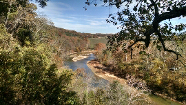
Fall in the Ozarks
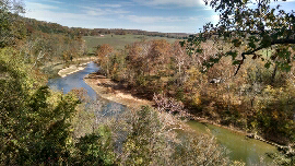
James River

Skyline Drive, Mark Twain National Forest
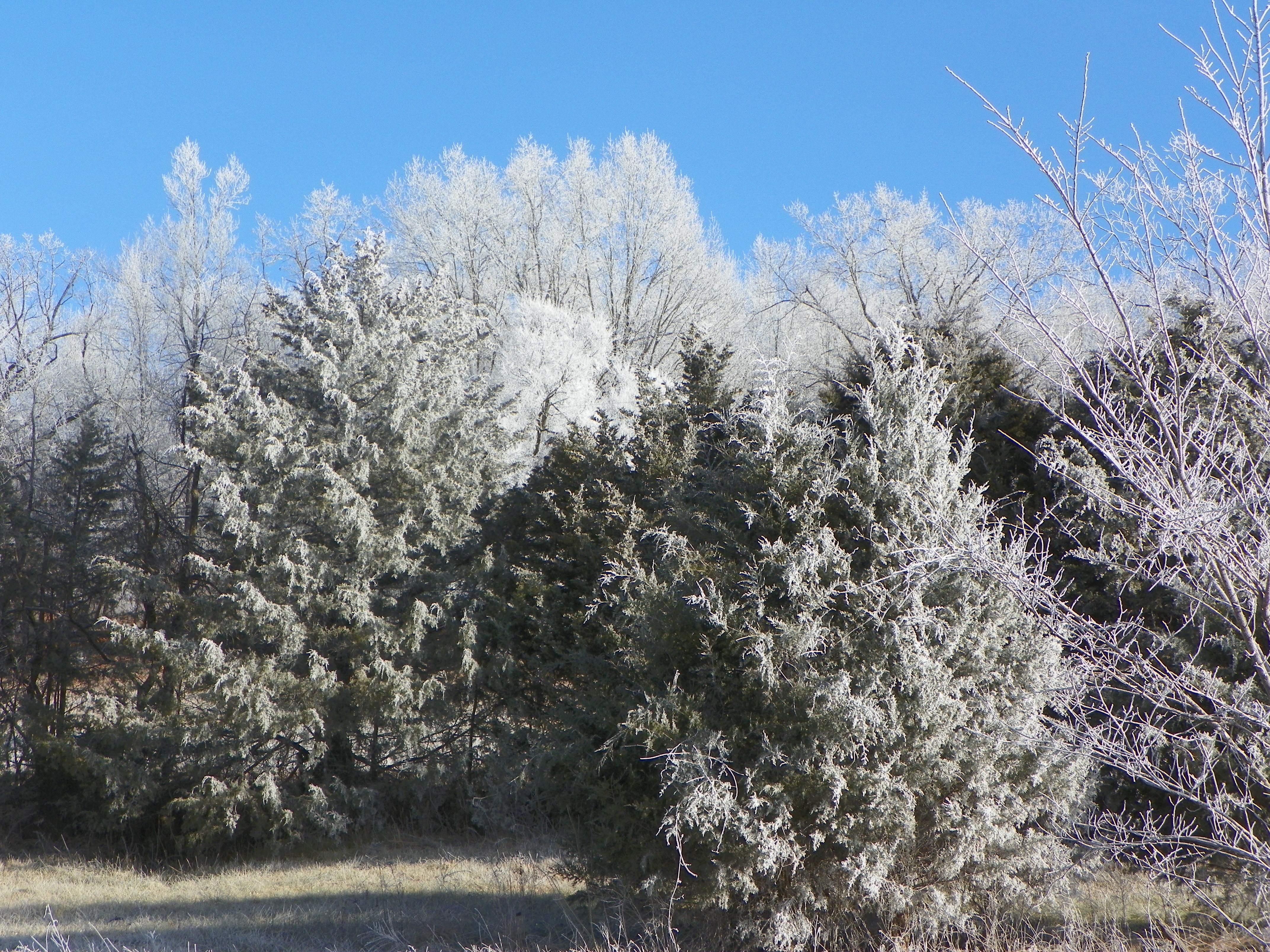
Frosty winter day
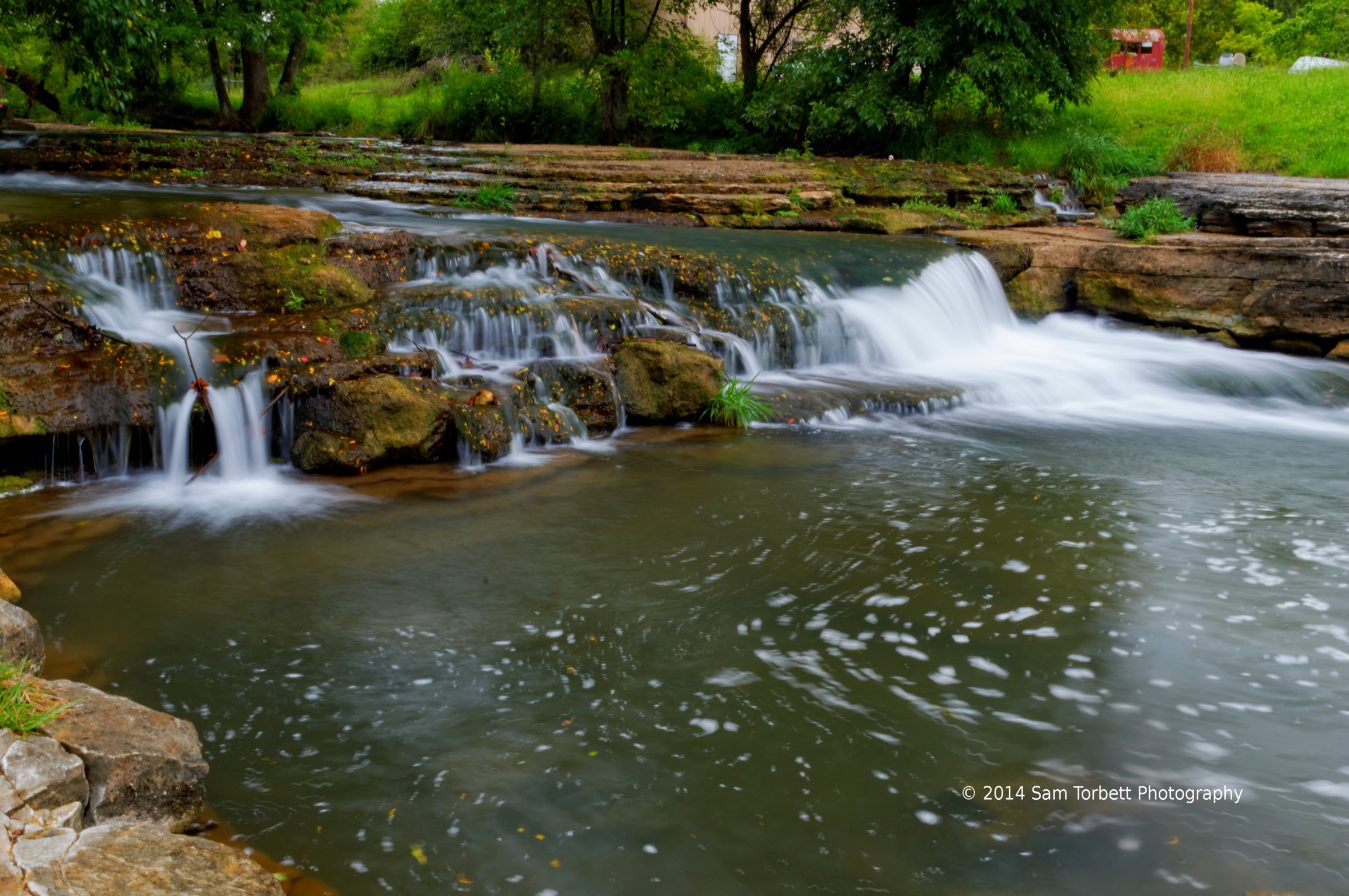
Spring Creek
Topographic Map of Circle C Ln, Galena, MO, USA
Find elevation by address:

Places near Circle C Ln, Galena, MO, USA:
Lincoln Township
349 August Dr
Pierce Township
N Commerce St, Crane, MO, USA
Crane
1339 Old Miller Rd
1333 Camp Clark Hill
Wheelerville
MO-, Crane, MO, USA
Washington Township
Camp Clark Hill
Galena
1031 Eaglecrest Rd
E 4th St, Galena, MO, USA
714 Eagle Landing Rd
Hurley
E Main St, Crane, MO, USA
Crane Creek Township
1065 Holiday Hills Dr
Hurley Township
Recent Searches:
- Elevation of Corso Fratelli Cairoli, 35, Macerata MC, Italy
- Elevation of Tallevast Rd, Sarasota, FL, USA
- Elevation of 4th St E, Sonoma, CA, USA
- Elevation of Black Hollow Rd, Pennsdale, PA, USA
- Elevation of Oakland Ave, Williamsport, PA, USA
- Elevation of Pedrógão Grande, Portugal
- Elevation of Klee Dr, Martinsburg, WV, USA
- Elevation of Via Roma, Pieranica CR, Italy
- Elevation of Tavkvetili Mountain, Georgia
- Elevation of Hartfords Bluff Cir, Mt Pleasant, SC, USA