Elevation of N Bank Rd, Roseburg, OR, USA
Location: United States > Oregon > Douglas County > Roseburg >
Longitude: -123.30019
Latitude: 43.3140618
Elevation: 284m / 932feet
Barometric Pressure: 98KPa
Elevation Map:
Satellite Map:
Related Photos:

Melrose Vineyards

Rain occluded view

The views improved with all the uphill hiking
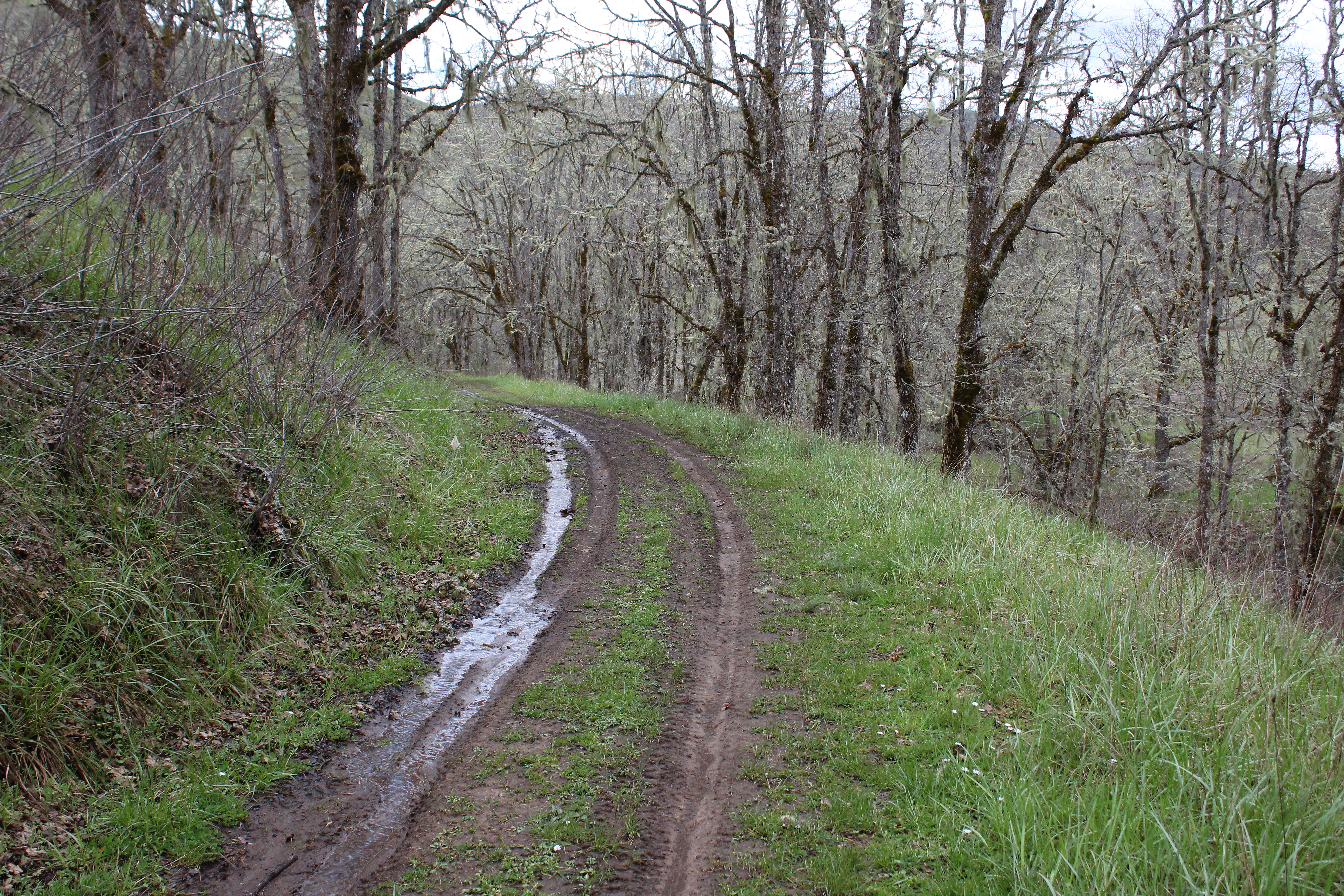
The end of the hike lies just around the bend

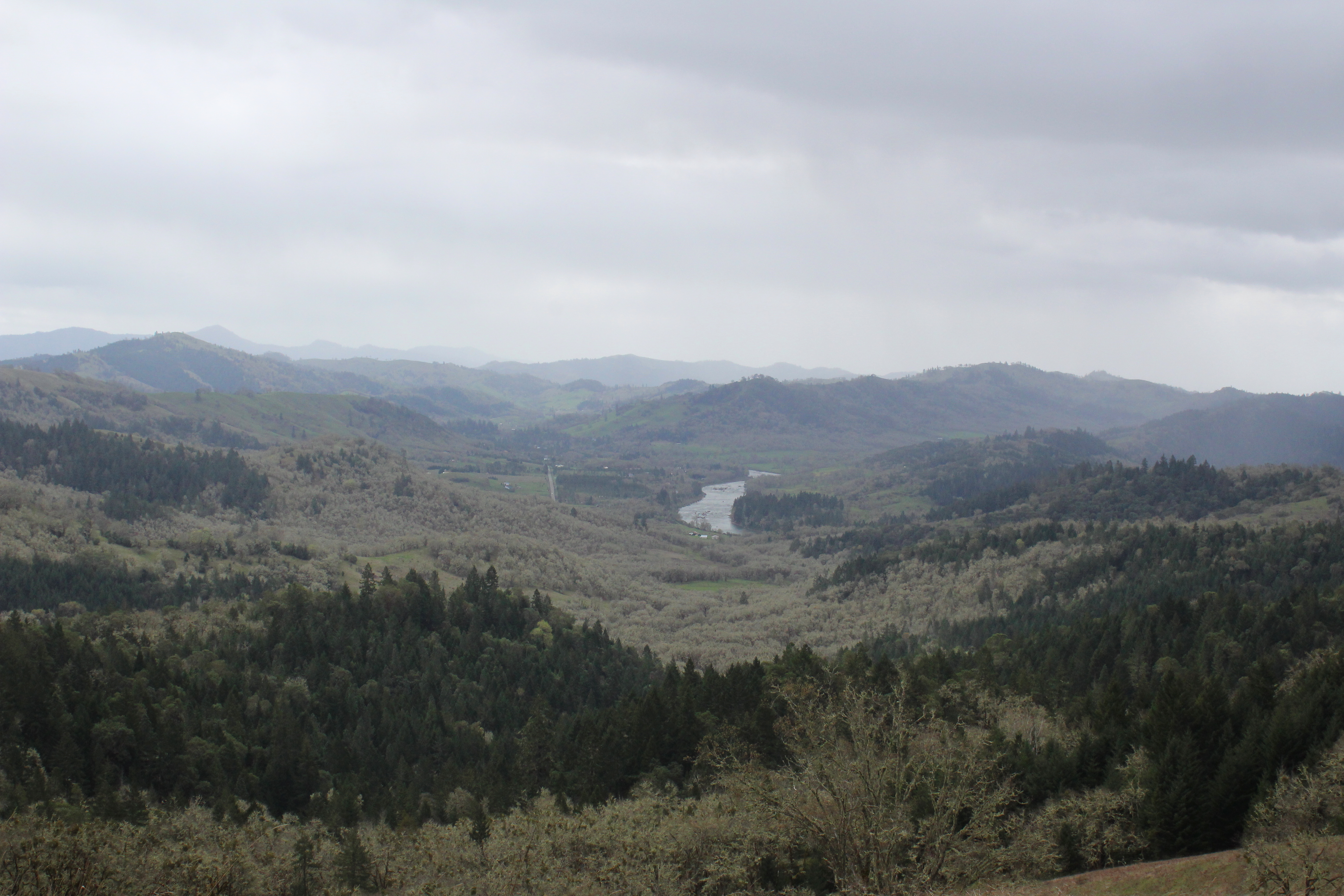
View down into a creek basin

Tioga Bridge side view

Fantastic view from North Ridge

Why we hike, Reason # 1,000,083

Roseburg High School, Roseburg, OR

View of the lake as we bushwhacked our way around

Roseburg High School, Roseburg, OR

Roseburg High School, Roseburg, OR

Our Happy Place

The Sun Sets on Sutherlin

Barrel Rolls!

Trees and views perfectly sum up this hike

A red currant bush pinks up the trail

A blue flax waves in the breeze
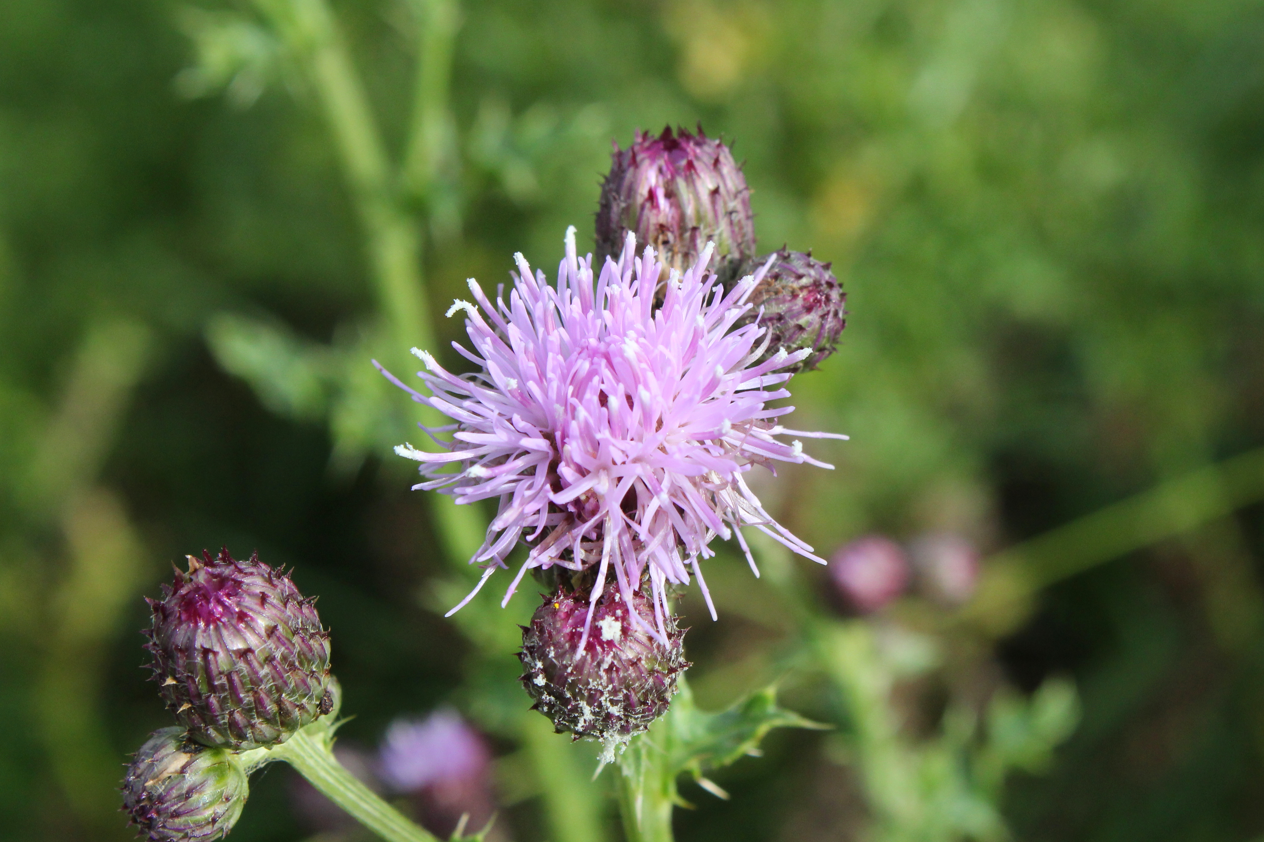
Canada thistle invades Oregon

View down into Blacktail Basin

Rain cometh

Rochester Covered Bridge
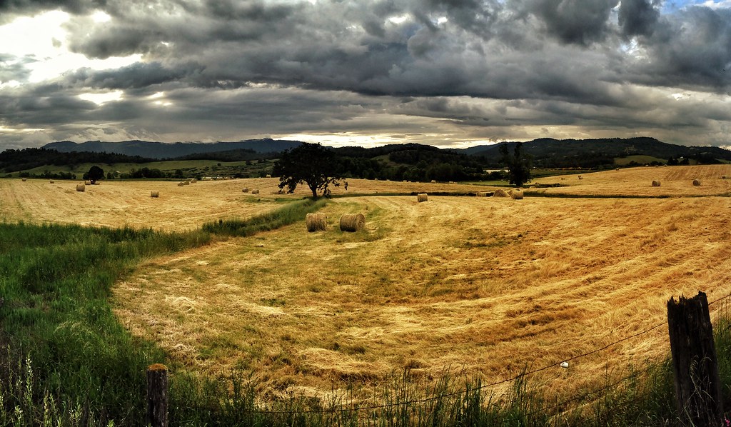
Make Hay While the Sun Shines

Approaching Rain

Farm above Fords Pond, Sutherlin, OR

Oak branches on a foggy morn

Pasture land above Fords Pond - Sutherlin, Oregon

Our Oasis

I'm hiking in the rain, I'm feeling no pain
The views were a constant on this hike

View down to the eastern trailhead

View back to Middle Ridge

Among the Hazelnuts
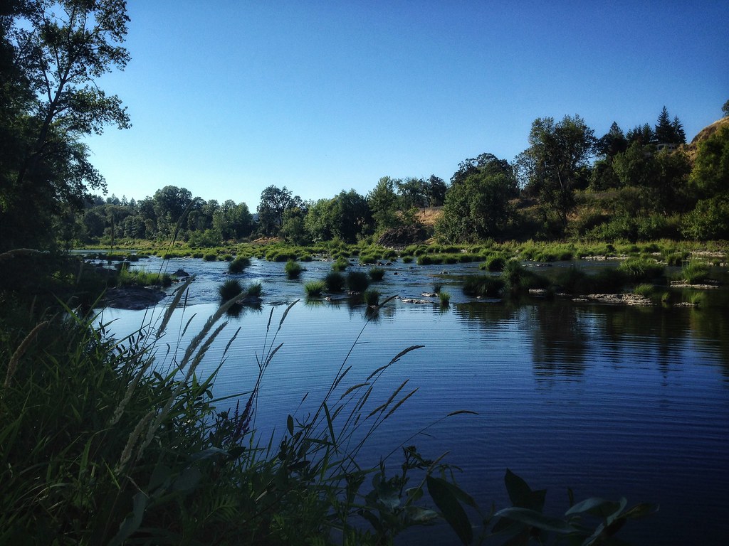
South Umpqua River

Oregon Summer on the Ranch

Fog in the Chasm Creek valley
Topographic Map of N Bank Rd, Roseburg, OR, USA
Find elevation by address:

Places near N Bank Rd, Roseburg, OR, USA:
Page Road
Old Hwy 99 N, Roseburg, OR, USA
Wilbur
894 Echo Dr
7778 N Bank Rd
Roseburg North
486 Page Rd
468 Glenda Ave
Winchester
1903 Ridge View Dr
186 Ne Timberlake St
Sutherlin
210 E 4th Ave
1121 E 3rd Ave
999 Old Hwy 99 N
2082 Culver Loop
2084 Culver Loop
2716 Golfview Ave
Scott Henry Rd, Oakland, OR, USA
Glide
Recent Searches:
- Elevation of Corso Fratelli Cairoli, 35, Macerata MC, Italy
- Elevation of Tallevast Rd, Sarasota, FL, USA
- Elevation of 4th St E, Sonoma, CA, USA
- Elevation of Black Hollow Rd, Pennsdale, PA, USA
- Elevation of Oakland Ave, Williamsport, PA, USA
- Elevation of Pedrógão Grande, Portugal
- Elevation of Klee Dr, Martinsburg, WV, USA
- Elevation of Via Roma, Pieranica CR, Italy
- Elevation of Tavkvetili Mountain, Georgia
- Elevation of Hartfords Bluff Cir, Mt Pleasant, SC, USA