Elevation of N Bank Rd, Roseburg, OR, USA

Location: United States > Oregon > Douglas County > Roseburg >

Longitude: -123.25376

Latitude: 43.298737

Elevation: -10000m / -32808feet

Barometric Pressure: 295KPa

Elevation Map:

elevation map of N Bank Rd, Roseburg, OR, USA

Satellite Map:

Satellite map of N Bank Rd, Roseburg, OR, USA

Related Photos:

travel signs slr film tourism sign analog 35mm canon project eos restaurant highway scenery neon view image kodak scenic slide roadtrip tourist ishootfilm slidefilm september hwy 35mmfilm views k2 americana openroad neonsign interstate kodachrome kr 365 resturant roadside eastman slides 3000v greasyspoon 2010 kodachrome64 k14 offtheinterstate latent eastmankodak roadgeek project365 canoneosrebelk2 filmisnotdead canonrebelk2 kr64 iso64 kodakkodachrome64 latentimage openroads ontheopenroad tamronaf28200mm tamron28200mmf3856ldasphericalifsuper september2010 caseysrestaurant
Day 245/365 - Casey's Restaurant
north bank deer habitat glide wilbur oregon hiking roseburg umpqua whistlers bend blacktail basin soggy bottom road
View down into a creek basin
north bank dear management area habitat roseburg glide wilbur blm umpqua river oregon hiking
The "view" from the northern ridge
roseburgoregon roseburgblast 1959 roseburgdowntown kodachrome vintagecolor umpquahotel historicoregon
Downtown Roseburg View with the Umpqua Hotel, 1959. (see description)
north bank habitat management area oregon hiking cascades foothills roseburg glide whistlers bend umpqua river
View back to Middle Ridge
north bank dear management area habitat roseburg glide wilbur blm umpqua river oregon hiking
This madrone tree has a nice view
north bank dear management area habitat roseburg glide wilbur blm umpqua river oregon hiking
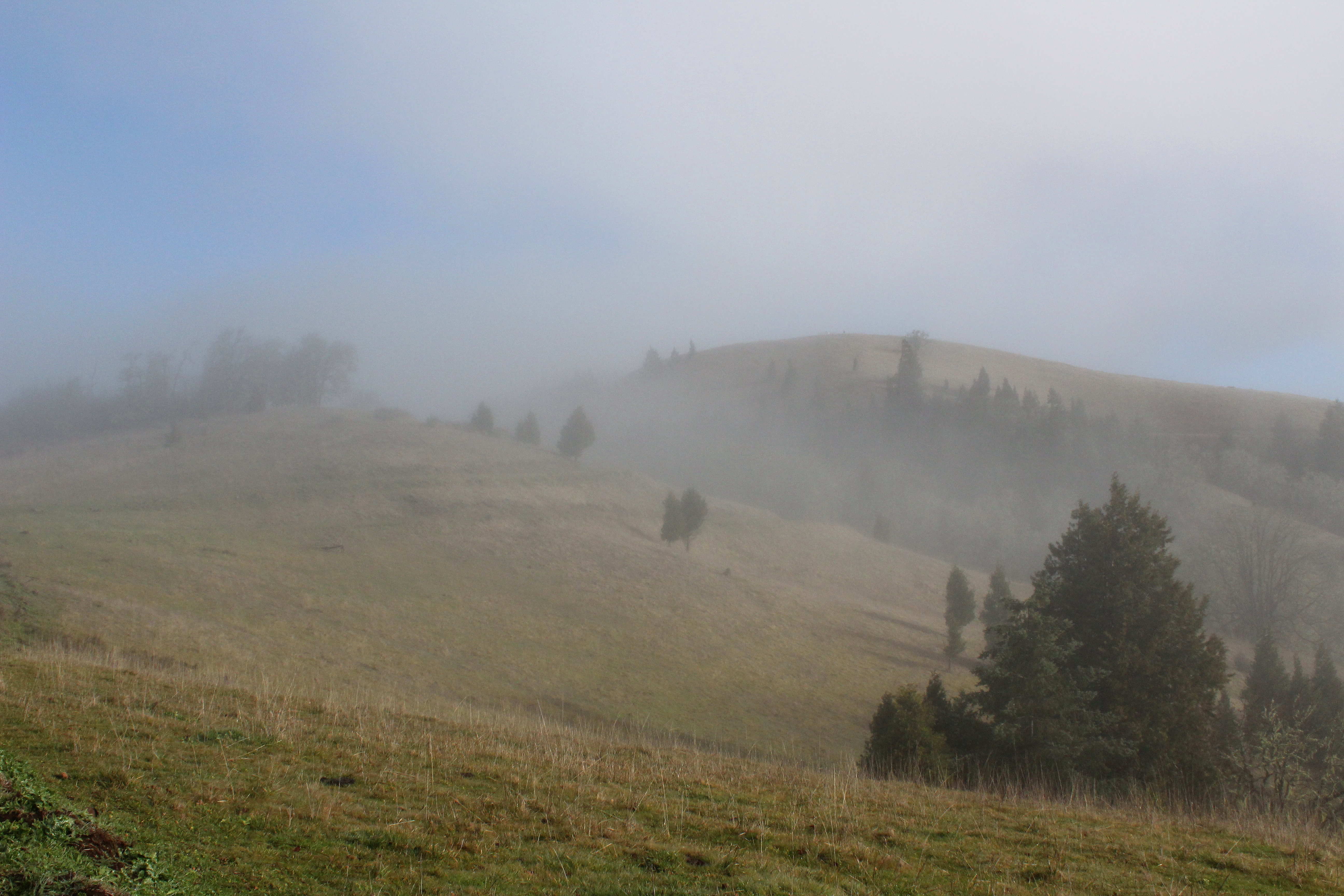
Misted over view to the high point of the hike
oregon bend hiking roseburg north bank deer habitat wilbur umpqua glide whistlers
Rain occluded view
square squareformat brannan iphoneography instagramapp uploaded:by=instagram foursquare:venue=4ce88be8678aa093a879e9ea
Mountain view
95. View from our balcony in Roseburg, OR.
oregon bend hiking roseburg north bank deer habitat wilbur blm umpqua glide whistlers wsweekly59
Superb view from East Ridge
flickroid
View from the Loo
north bank habitat management area oregon hiking cascades foothills roseburg glide whistlers bend umpqua river
View down to the eastern trailhead
olympus 1454mmf2835 olympusimagingcorp olympuse3 18000secatf28 roseburgnationalcemetery memorialday2010
Remember...Forever
sunset oregon roseburg douglascounty
Eclectic 007
Roseburg Visitor’s Center 008
oregon river hiking roseburg north bank deer habitat preserve wilbur blm umpqua glide sutherlin wsweekly57
The view to the river was always enjoyed at rest stops
oregon river scenic umpqua glide county” river” “little “north rivers” “oregon “douglas cascade” “colliding
Colliding Rivers 001
roseburgor
View from Beaumont Ave, Roseburg, OR
oregon river hiking roseburg north bank deer habitat preserve wilbur blm umpqua glide sutherlin wsweekly57
View to a nearby ridge
cemetery graveyard oregon valleyview sutherlin douglascounty photoceramics deadmantalking
valley view cemetery - sutherlin, or
oregon sutherlin skipplittphotography
Farm above Fords Pond, Sutherlin, OR
north bank dear management area habitat roseburg glide wilbur blm umpqua river oregon hiking
Skeleton tree
clouds redbarn cumulobumpy oregon glide thunderclouds gordoncottrell
Clouds!
north bank dear management area habitat roseburg glide wilbur blm umpqua river oregon hiking
Mystery world
explore tranquil quiet calm serene sober static peaceful sutherlin oregon usa park lake birds water trees reflections interrestingness clouds back white fallseason
LAKE ROSEBURG OREGON
north bank dear management area habitat roseburg glide wilbur blm umpqua river oregon hiking
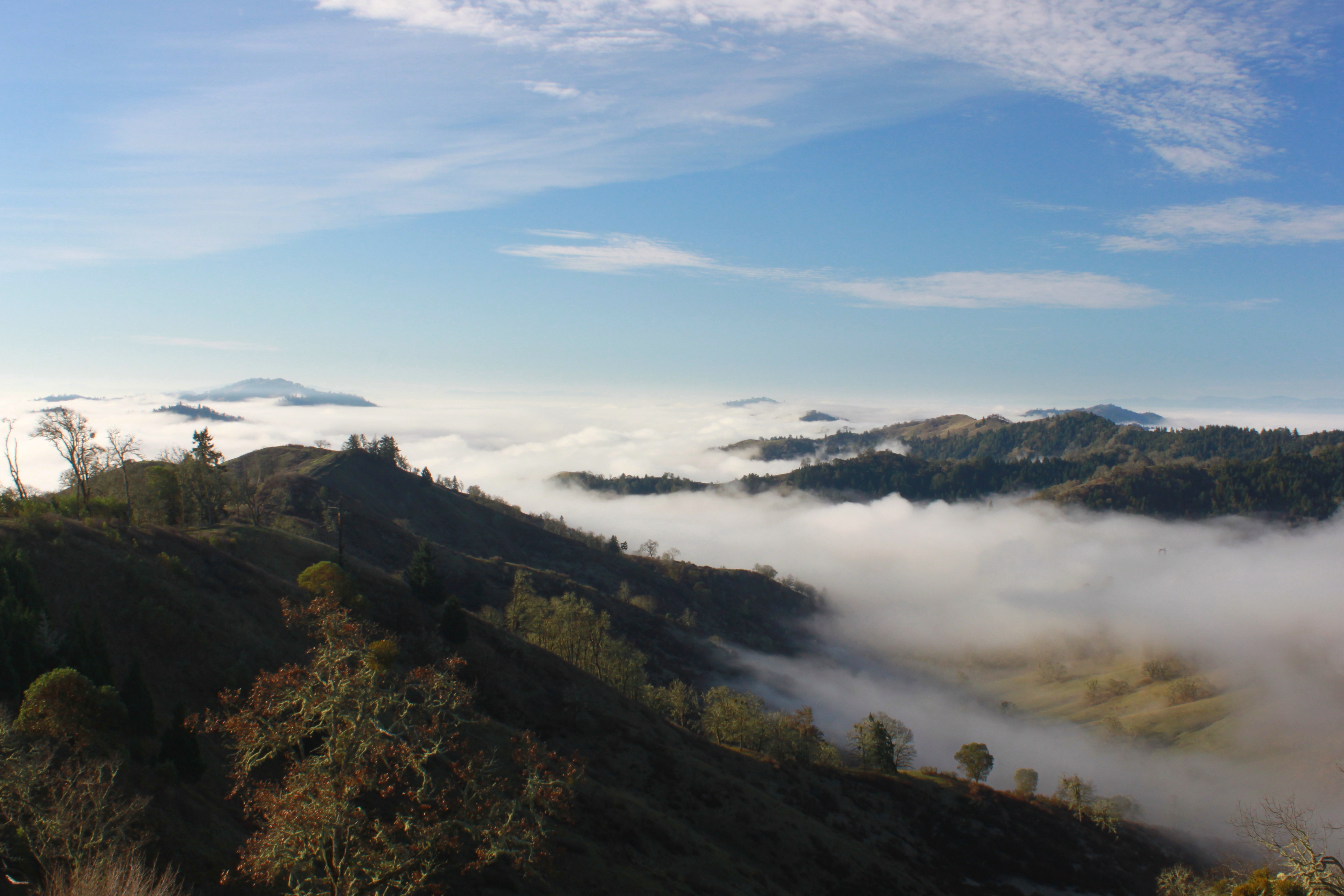
Fog still fills up the surrounding valleys
north bank dear management area habitat roseburg glide wilbur blm umpqua river oregon hiking
Idyllic scene along the North Umpqua River
roseburgoregon theroseburgblast foundslides historicoregon douglascountycourthouse aerialphotography kodachrome vintagecolor
Detour around "the blast" 1959(read description)
farm farmland douglascounty sutherlinoregon iphoneography iphone5c skipplittphotography skipperplitt
Farm above Fords Pond
usa oregon us location northamerica glide
Coliding Rivers Park
north bank dear management area habitat roseburg glide wilbur blm umpqua river oregon hiking
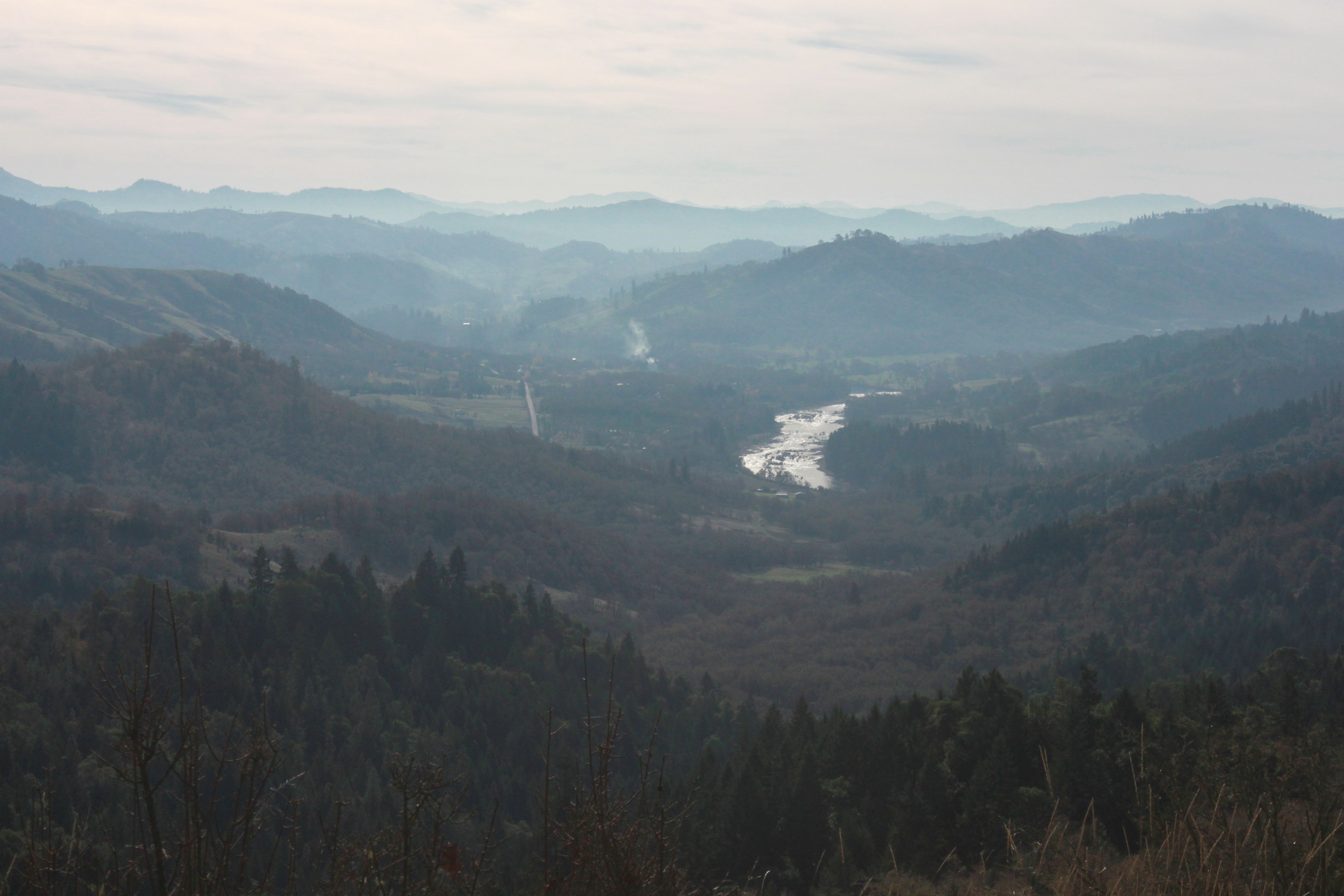
Fog in the Chasm Creek valley
oregon river hiking roseburg north bank deer habitat preserve wilbur blm umpqua glide sutherlin wsweekly57
The final drop down to the trailhead
douglascountyoregon absolutelystunningscapes platireservoir
Plat I Reservoir
trees 120 mamiya oregon creek mediumformat moss kodak portra rz67 400vc dustyscan
20091223.0334.m.67.c.k.160vc.03
north bank dear management area habitat roseburg glide wilbur blm umpqua river oregon hiking
A gauzy curtain of mist clouds up the valley below
River Forks
The fog was starting to burn off
cashiers northcarolina lakeglenville autumn colors vibrance
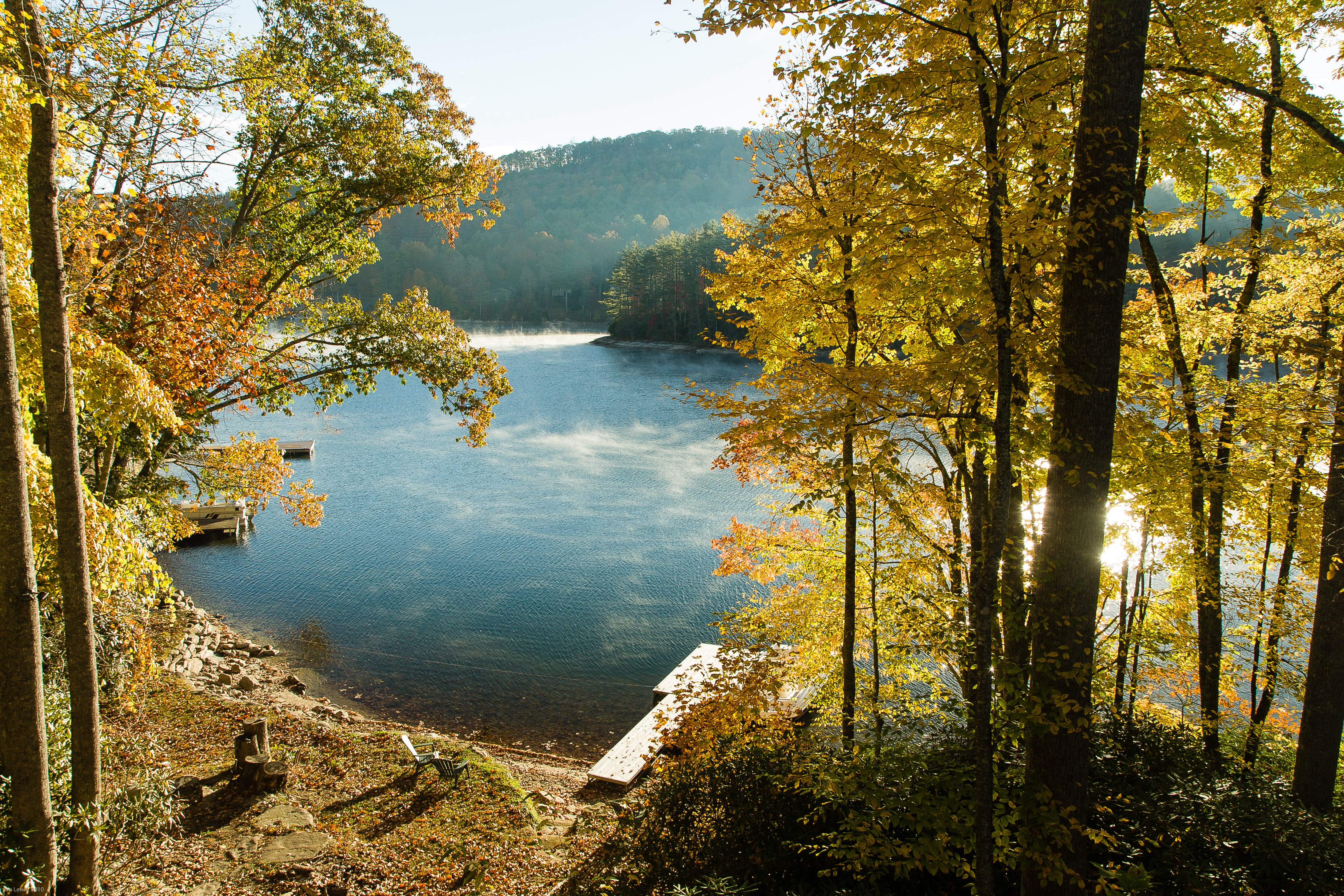
Lake Glenville in fall, Cashiers, NC
north bank dear management area habitat roseburg glide wilbur blm umpqua river oregon hiking
Oak branches on a foggy morn