Elevation of Murphy, WV, USA
Location: United States > West Virginia > Ritchie County >
Longitude: -81.097539
Latitude: 39.0840633
Elevation: 321m / 1053feet
Barometric Pressure: 98KPa
Elevation Map:
Satellite Map:
Related Photos:

Common Merganser Pair
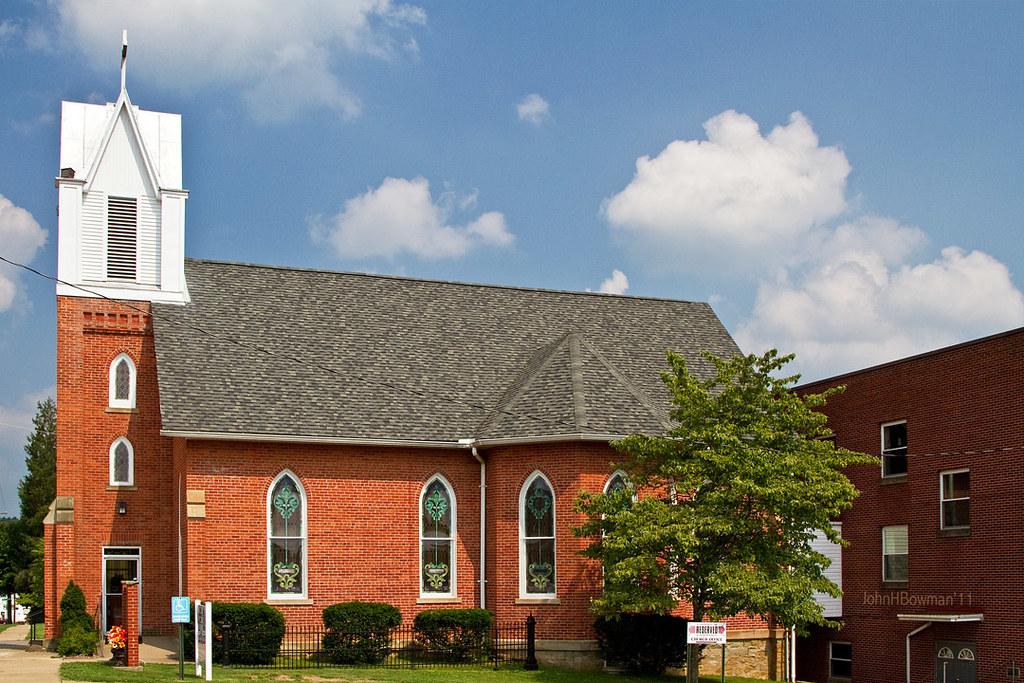
St. Luke's United Methodist Church
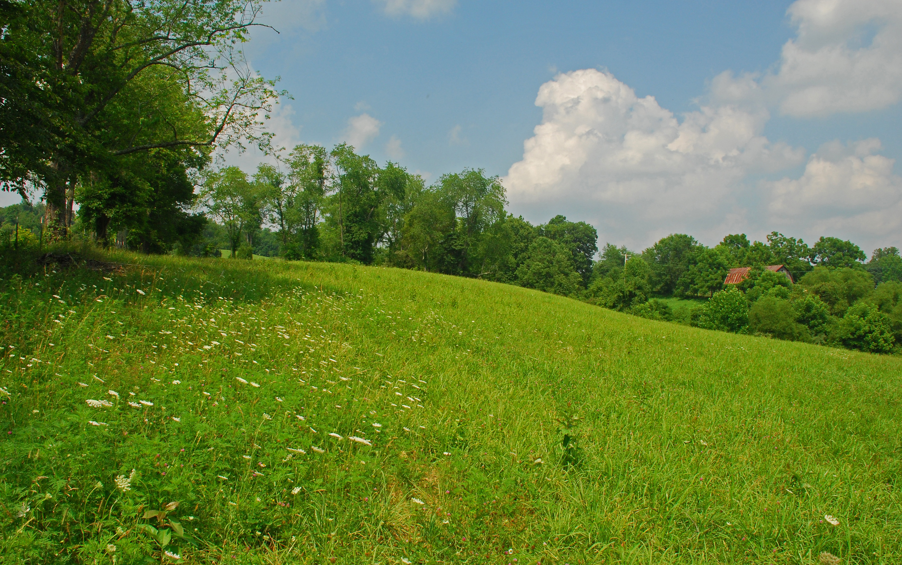
Summer Day Landscape
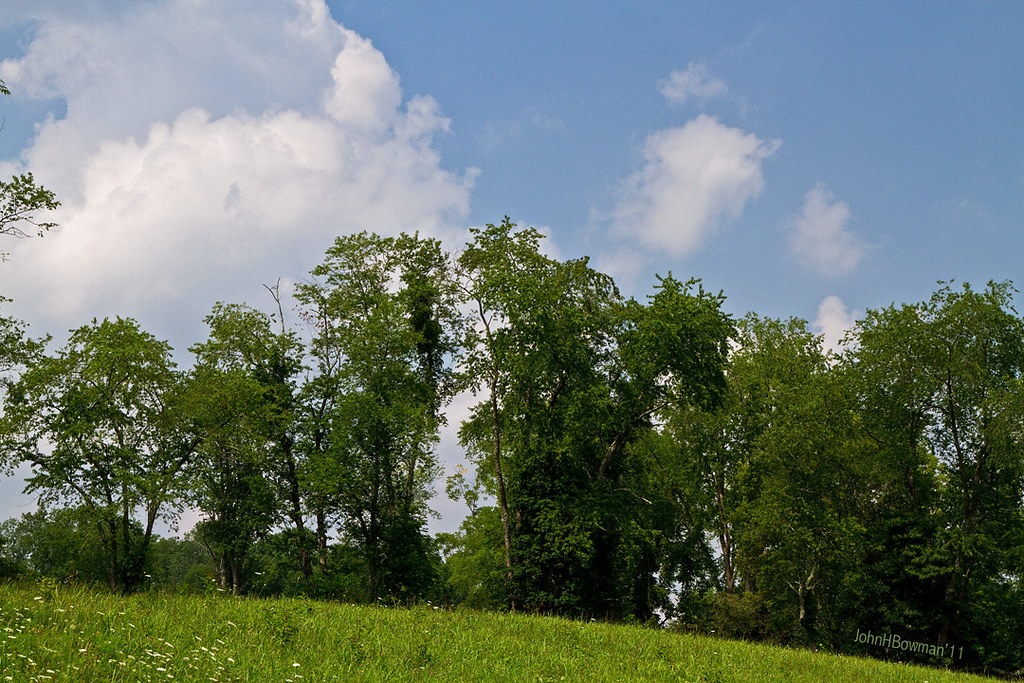
Summer Beauty
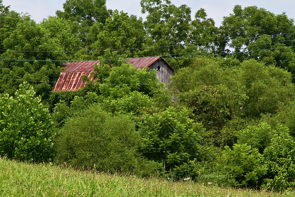
Peek-a-boo Barn

Panorama: WV Gas Station

Ritchie County Courthouse
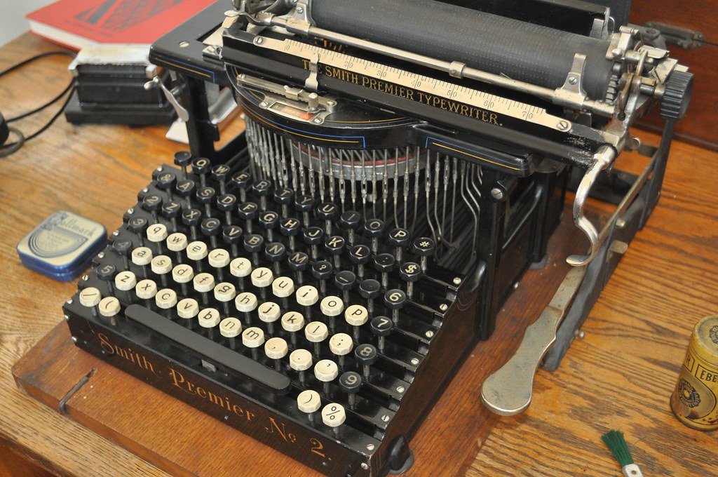
Two Keyboards

Downtown Harrisville

Bridge 698-08
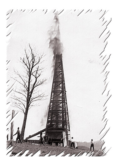
Strike !

Bridge 879-09

Bridge 877-11

Bridge 878-17

Bridge 877-12

Bridge 877-13
Topographic Map of Murphy, WV, USA
Find elevation by address:

Places in Murphy, WV, USA:
Cokeley Ridge Rd, Harrisville, WV, USA
Hazelgreen Rd, Harrisville, WV, USA
West Virginia 47
Macfarlan
Brohard
Places near Murphy, WV, USA:
West Virginia 47
4664 Leatherbark Rd
Cokeley Ridge Rd, Harrisville, WV, USA
Brohard
5 Mile Run
Macfarlan
Hazelgreen Rd, Harrisville, WV, USA
Ritchie County
Laurel Run
597 Thomas St
606 Ford St
Cox Rd, Harrisville, WV, USA
500 W Main St
424 W Main St
710 Starr Ave
103 W Main St
Harrisville
Munday Rd, Munday, WV, USA
Munday
Big Bend
Recent Searches:
- Elevation of Corso Fratelli Cairoli, 35, Macerata MC, Italy
- Elevation of Tallevast Rd, Sarasota, FL, USA
- Elevation of 4th St E, Sonoma, CA, USA
- Elevation of Black Hollow Rd, Pennsdale, PA, USA
- Elevation of Oakland Ave, Williamsport, PA, USA
- Elevation of Pedrógão Grande, Portugal
- Elevation of Klee Dr, Martinsburg, WV, USA
- Elevation of Via Roma, Pieranica CR, Italy
- Elevation of Tavkvetili Mountain, Georgia
- Elevation of Hartfords Bluff Cir, Mt Pleasant, SC, USA