Elevation of Hazelgreen Rd, Harrisville, WV, USA
Location: United States > West Virginia > Ritchie County > Murphy >
Longitude: -80.987067
Latitude: 39.082562
Elevation: 233m / 764feet
Barometric Pressure: 99KPa
Elevation Map:
Satellite Map:
Related Photos:
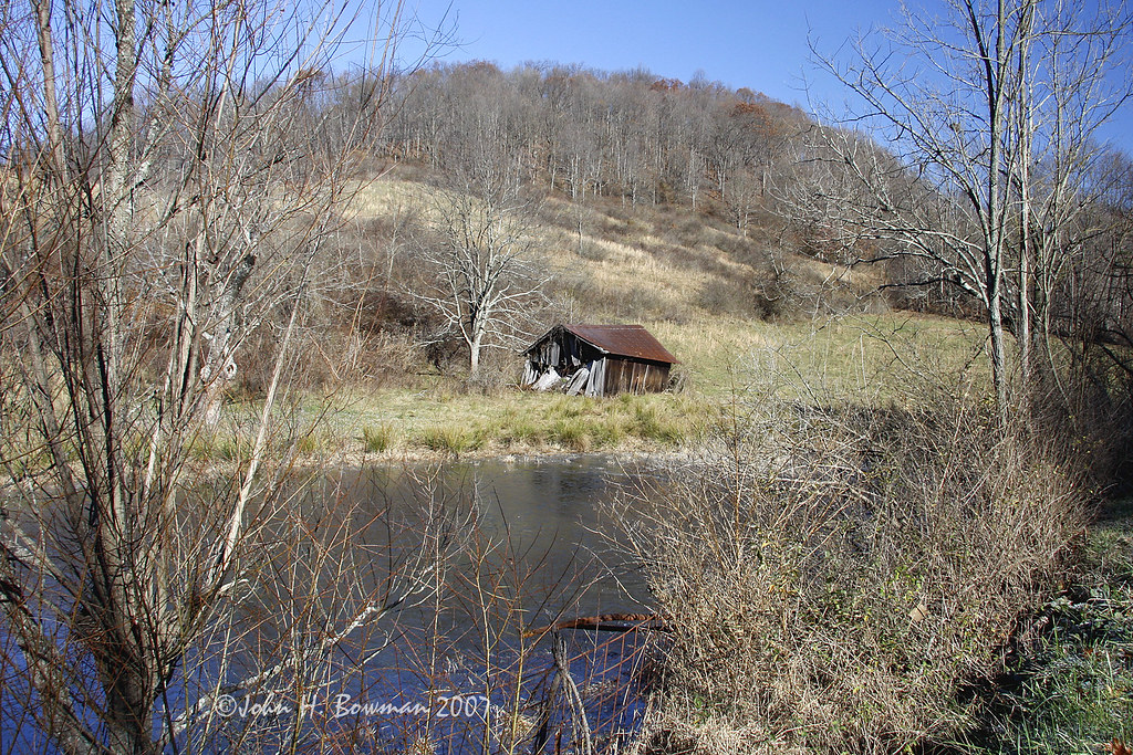
Sheltered barn

Lonely tree

Panorama: WV Gas Station
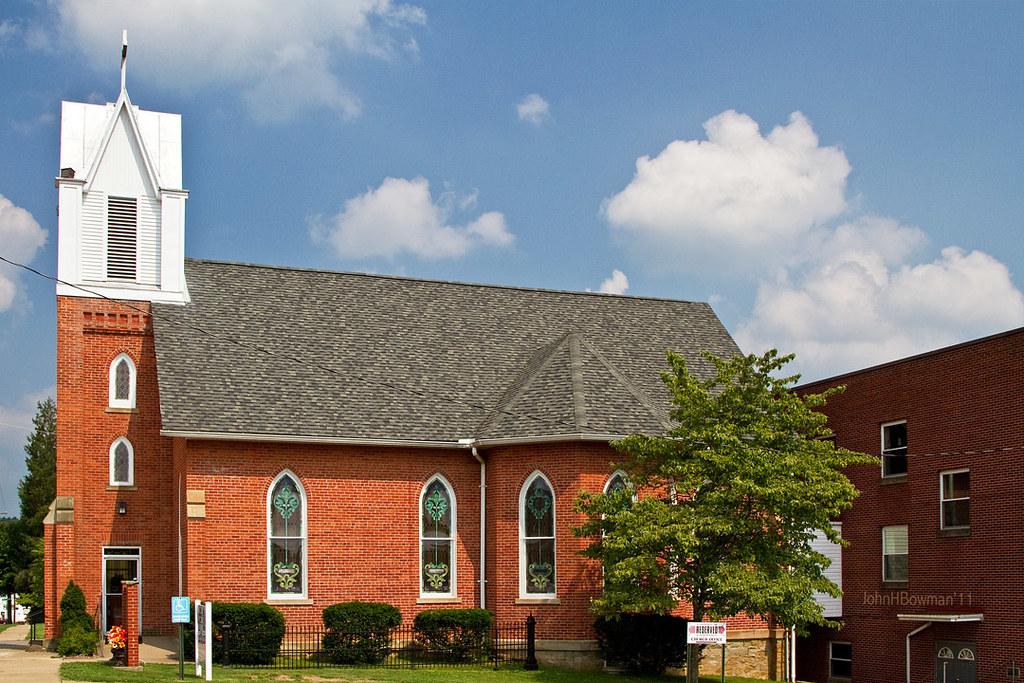
St. Luke's United Methodist Church
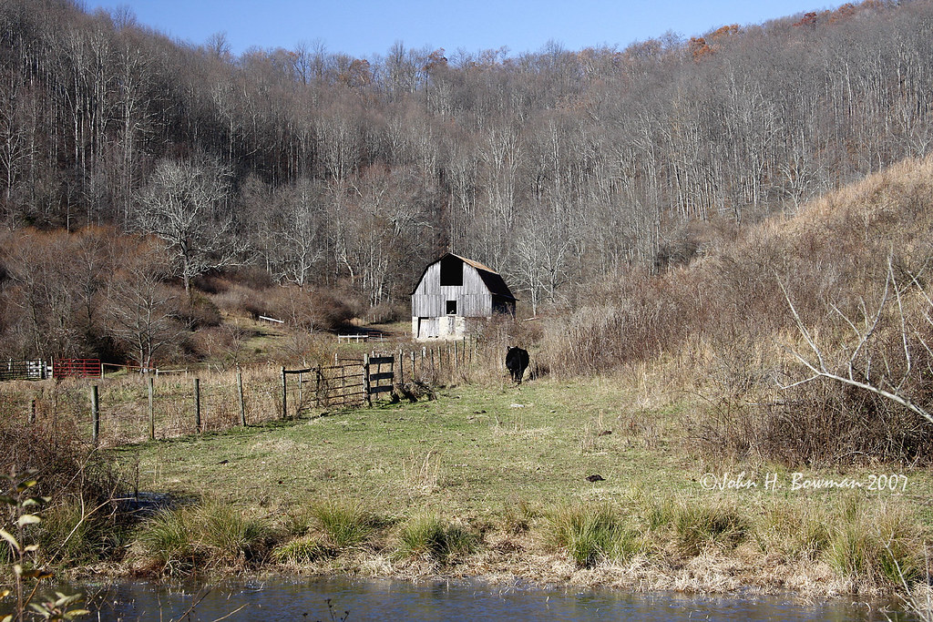
November barn
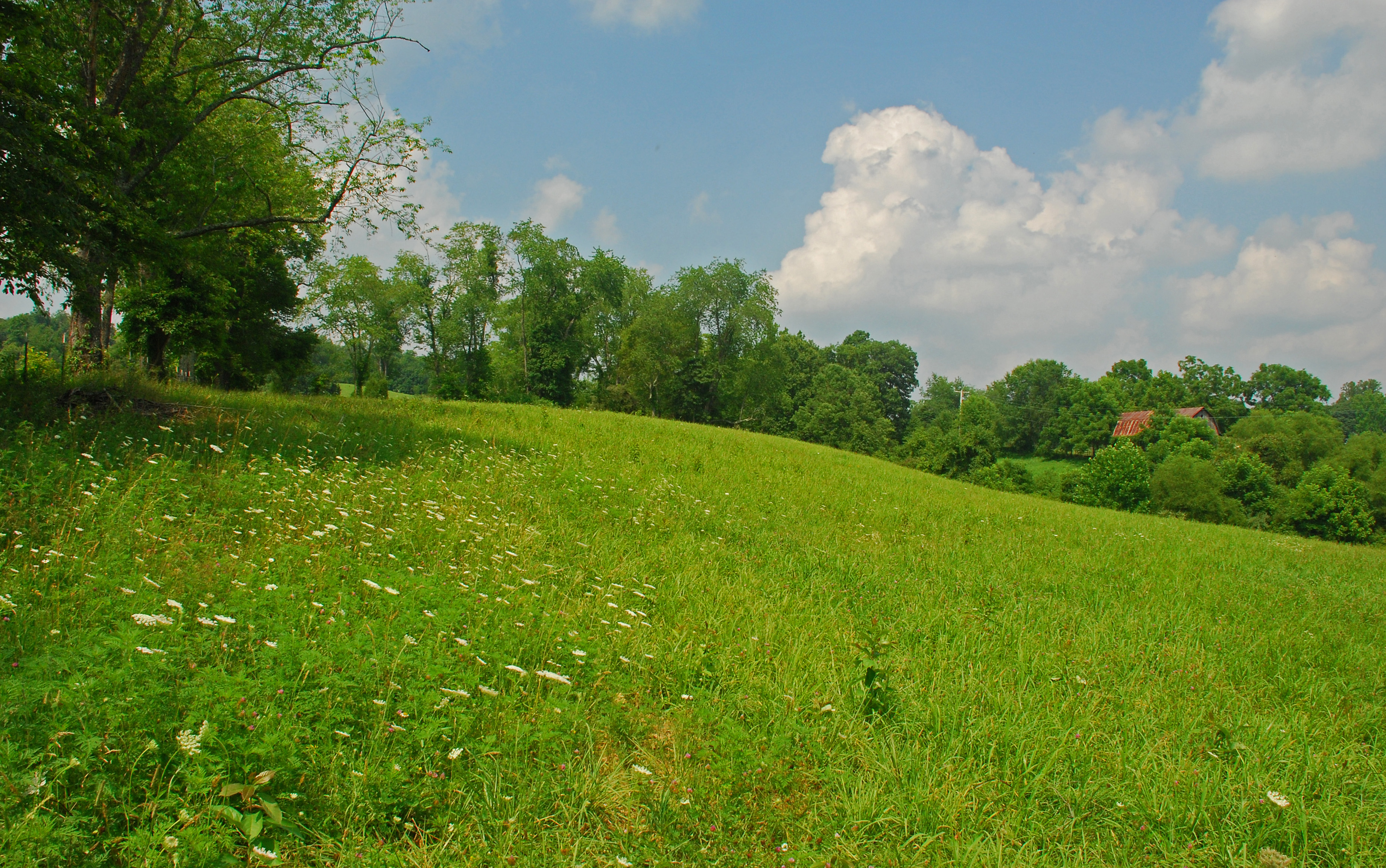
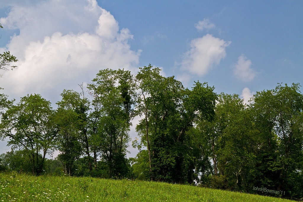
Summer Day Landscape
Summer Beauty
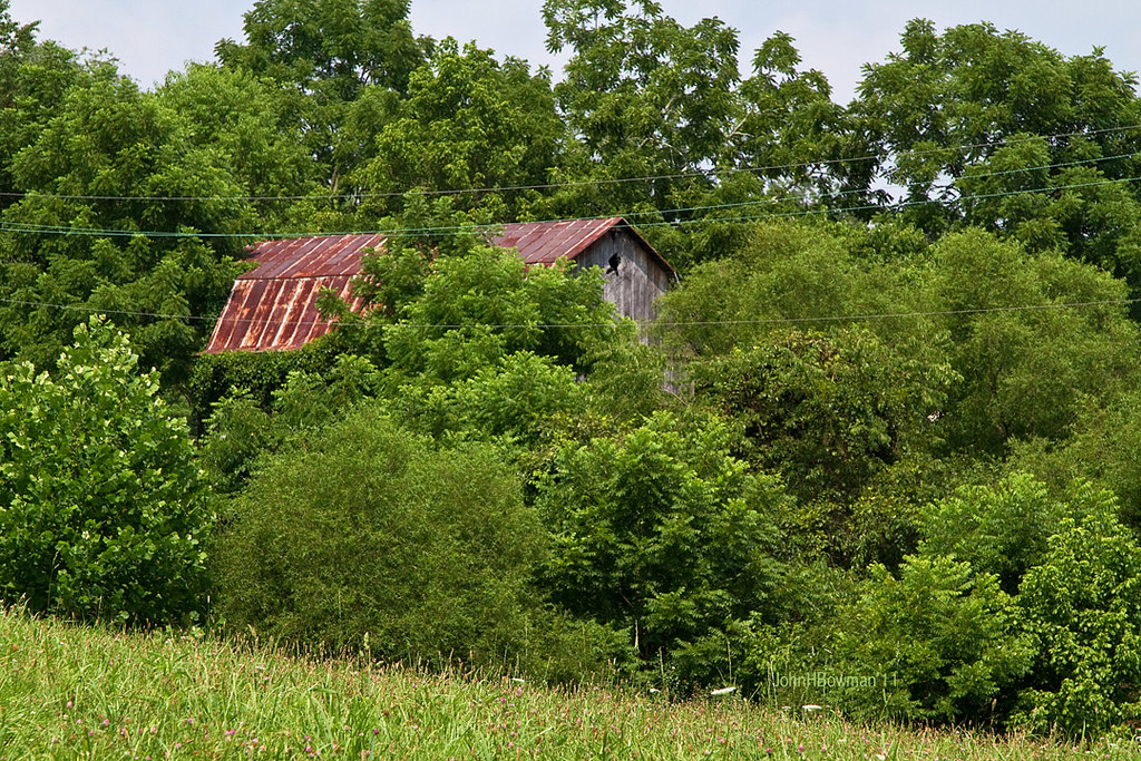
Peek-a-boo Barn

Ritchie County Courthouse

Downtown Harrisville
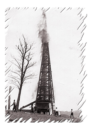
Strike !
Topographic Map of Hazelgreen Rd, Harrisville, WV, USA
Find elevation by address:

Places near Hazelgreen Rd, Harrisville, WV, USA:
Cox Rd, Harrisville, WV, USA
Berea
Berea, WV, USA
4664 Leatherbark Rd
Union
Ritchie County
Murphy
Pullman
26 Shady Ln, Pullman, WV, USA
710 Starr Ave
606 Ford St
597 Thomas St
Harrisville
103 W Main St
Cokeley Ridge Rd, Harrisville, WV, USA
Hale Street
West Virginia Avenue
424 W Main St
500 W Main St
West Virginia 47
Recent Searches:
- Elevation of Corso Fratelli Cairoli, 35, Macerata MC, Italy
- Elevation of Tallevast Rd, Sarasota, FL, USA
- Elevation of 4th St E, Sonoma, CA, USA
- Elevation of Black Hollow Rd, Pennsdale, PA, USA
- Elevation of Oakland Ave, Williamsport, PA, USA
- Elevation of Pedrógão Grande, Portugal
- Elevation of Klee Dr, Martinsburg, WV, USA
- Elevation of Via Roma, Pieranica CR, Italy
- Elevation of Tavkvetili Mountain, Georgia
- Elevation of Hartfords Bluff Cir, Mt Pleasant, SC, USA