Elevation of Munday, WV, USA
Location: United States > West Virginia > Wirt County > Northeast >
Longitude: -81.206226
Latitude: 39.0053596
Elevation: 217m / 712feet
Barometric Pressure: 99KPa
Elevation Map:
Satellite Map:
Related Photos:
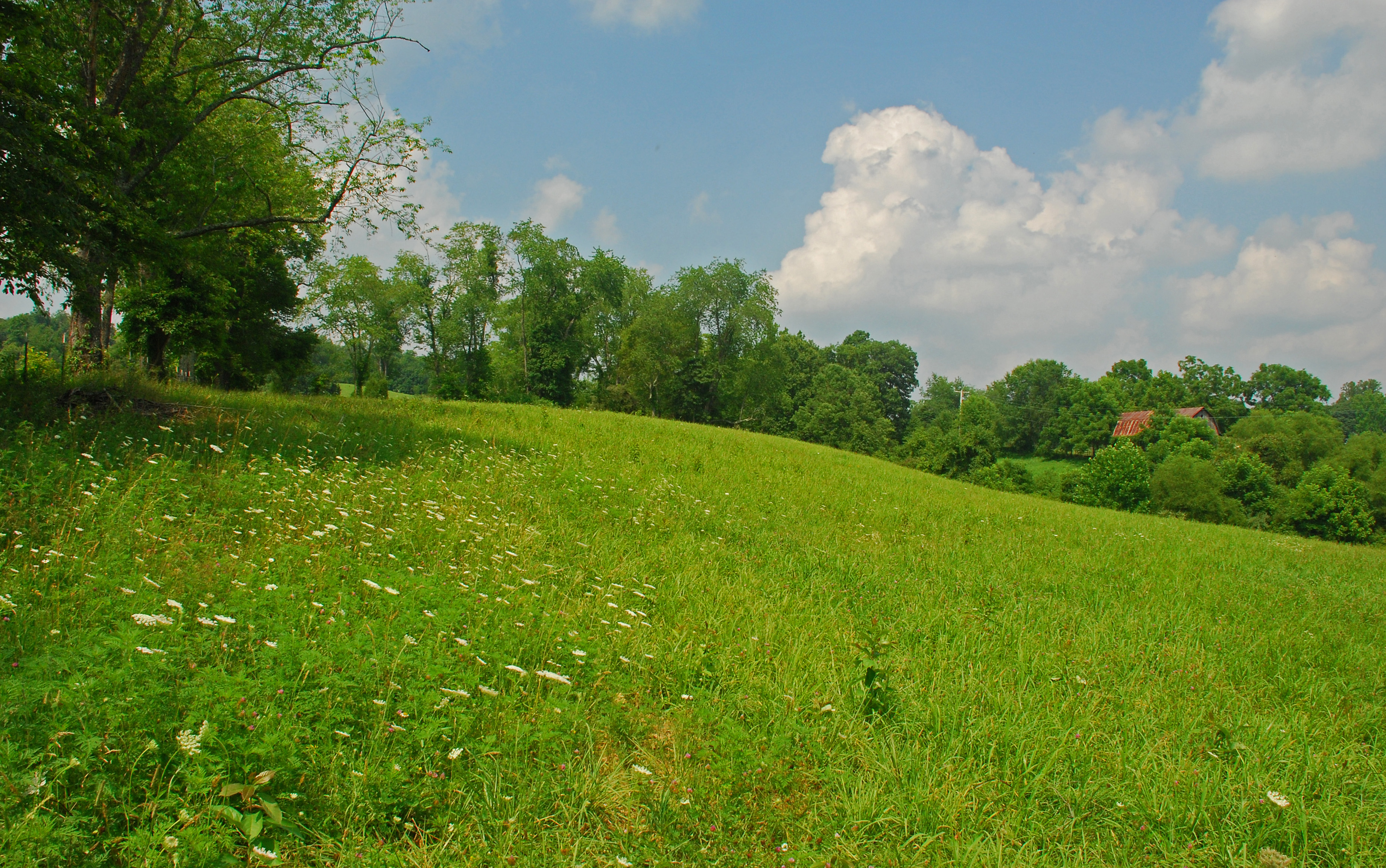
Summer Day Landscape
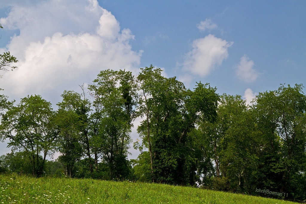
Summer Beauty
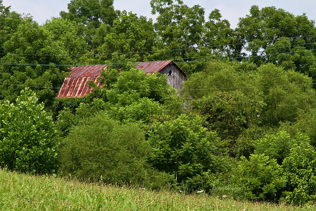
Peek-a-boo Barn

Panorama: WV Gas Station
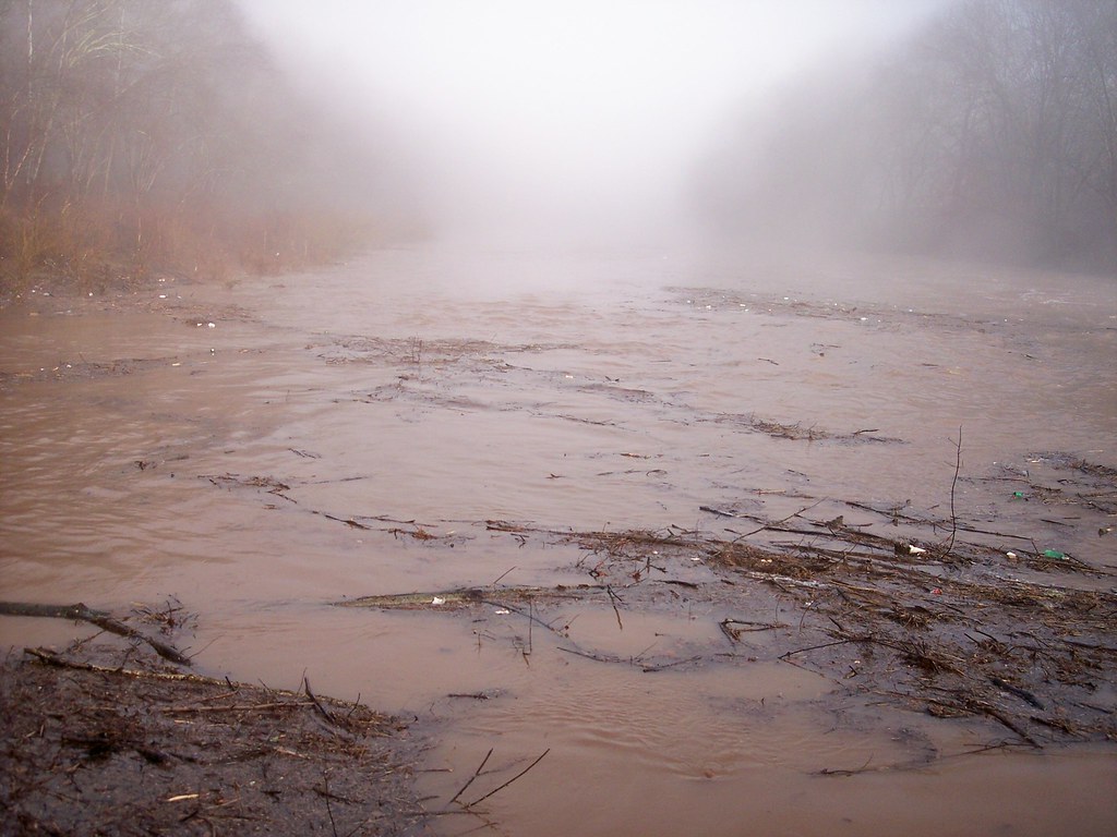
Out for a float trip.

Bridge 879-09

Bridge 877-11

Bridge 878-17

Bridge 877-12

Bridge 877-13
Topographic Map of Munday, WV, USA
Find elevation by address:

Places in Munday, WV, USA:
Places near Munday, WV, USA:
Munday Rd, Munday, WV, USA
Brohard
5 Mile Run
Laurel Run
Big Bend
Macfarlan
Creston, WV, USA
Creston
West Virginia 47
Hardman Fork
Hardman Fork
Bryners Chapel Cemetery
Mt Zion, WV, USA
Sanoma Rd, Palestine, WV, USA
Murphy
Racy Rd, Petroleum, WV, USA
Grantsville
Staunton Tpke, Petroleum, WV, USA
4664 Leatherbark Rd
Mount Zion
Recent Searches:
- Elevation of Corso Fratelli Cairoli, 35, Macerata MC, Italy
- Elevation of Tallevast Rd, Sarasota, FL, USA
- Elevation of 4th St E, Sonoma, CA, USA
- Elevation of Black Hollow Rd, Pennsdale, PA, USA
- Elevation of Oakland Ave, Williamsport, PA, USA
- Elevation of Pedrógão Grande, Portugal
- Elevation of Klee Dr, Martinsburg, WV, USA
- Elevation of Via Roma, Pieranica CR, Italy
- Elevation of Tavkvetili Mountain, Georgia
- Elevation of Hartfords Bluff Cir, Mt Pleasant, SC, USA