Elevation of Mt View Rd, Thorndike, ME, USA

Location: United States > Maine > Waldo County > Thorndike >

Longitude: -69.277553

Latitude: 44.562411

Elevation: 135m / 443feet

Barometric Pressure: 100KPa

Elevation Map:

elevation map of Mt View Rd, Thorndike, ME, USA

Satellite Map:

Satellite map of Mt View Rd, Thorndike, ME, USA

Related Photos:

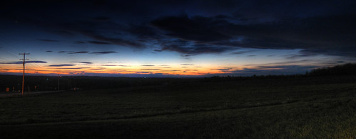
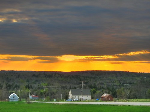
county sunset panorama maine knox waldo hdr a470 ridgetop
Last Gleaming; Knox, Maine
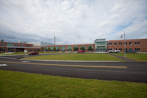
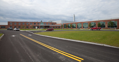
Mount View School
Mount View School
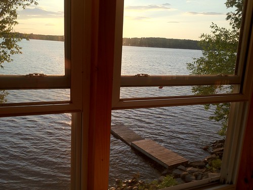
View from 2nd story
county sunset rural maine knox waldo hdr 137 a470
Knox Sunset; Knox Corner, Knox, Maine
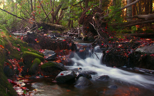
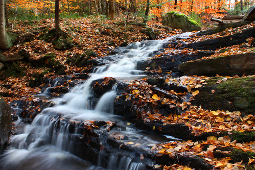
longexposure autumn red fall water leaves moss pond stream pentax sandy kx
Sandy Stream; Freedom, Maine
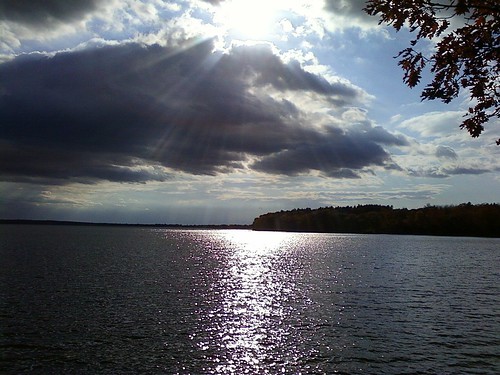
Fall At Lake Winnecook
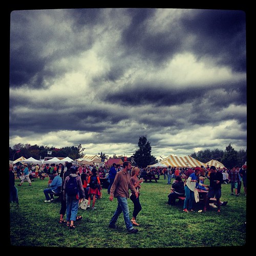
square squareformat iphoneography instagramapp xproii uploaded:by=instagram foursquare:venue=4c9e0c6e7c096dcbe0ddd0d1
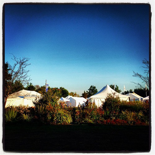
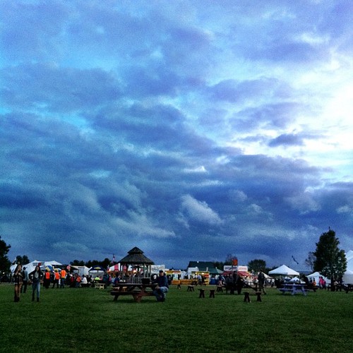
Menacing skies did not deter an insane amount of people from visiting the Common Ground Fair today! We had another awesome day. Met so many fantastic people! #commonground #cgcf
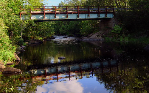
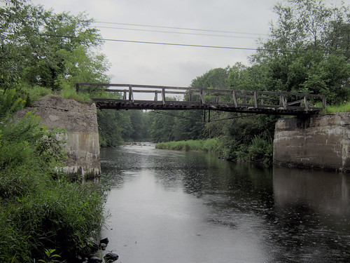
bridge reflection water canon stream maine hdr benton a470 bogroad chdk fifteenmile
Bog Road Bridge over Fifteenmile Stream; Benton, Maine
uploaded:by=flickrmobile flickriosapp:filter=nofilter
Winter's finally here! Can't believe it's going to rain heavy before it snows again.
square lofi squareformat iphoneography instagramapp uploaded:by=instagram foursquare:venue=4c9e0c6e7c096dcbe0ddd0d1
Good morning CGCF! So excited!! #commonground #fairground #maine
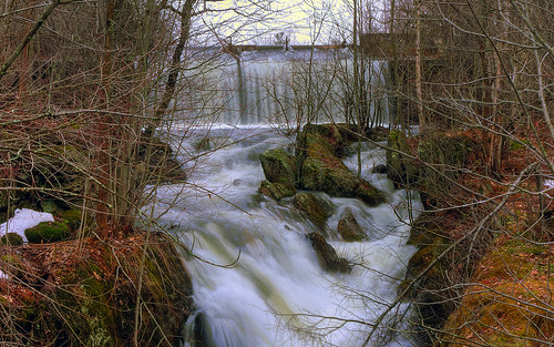
wallpaper freedom waterfall pentax dam maine hdr spillway kx sandypond 1680x1050 nd8 waldocounty
Freedom Spillway; Freedom, Maine
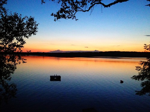
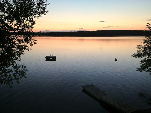
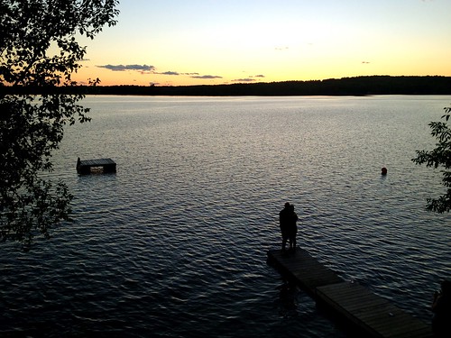
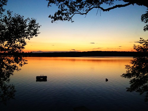
Sunset over Unity Pond
Unity Pond Sunset
square squareformat organic ruralliving mofga commongroundcountryfair unitymaine iphoneography mainefarms september2013 instagramapp uploaded:by=instagram foursquare:venue=4c9e0c6e7c096dcbe0ddd0d1 commongroundcountryfair2013 cgcf2013
Saturday's end. #cgcf2013 #commonground
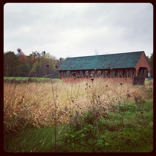
Field of Dreams covered bridge
county bridge water canon maine waldo snowmobile a470 waldocounty thorndike
The Bridge 3
longexposure autumn fall nature water colors leaves waterfall leaf colorful long exposure maine
Waterfall Long Exposure
Sunset over Unity Pond
uploaded:by=flicksquare foursquare:venue=4e21b4031f6effe84f73a438 geo:lat=4463463018453423 geo:lon=6934831236191786
At Unity Pond
Rte. 7, Dixmont
Unity Pond Sunset
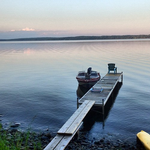
Lake Winnecook in June