Elevation of 84 School St, Unity, ME, USA
Location: United States > Maine > Waldo County > Unity > Unity > Unity >
Longitude: -69.351900
Latitude: 44.6135071
Elevation: 61m / 200feet
Barometric Pressure: 101KPa
Elevation Map:
Satellite Map:
Related Photos:
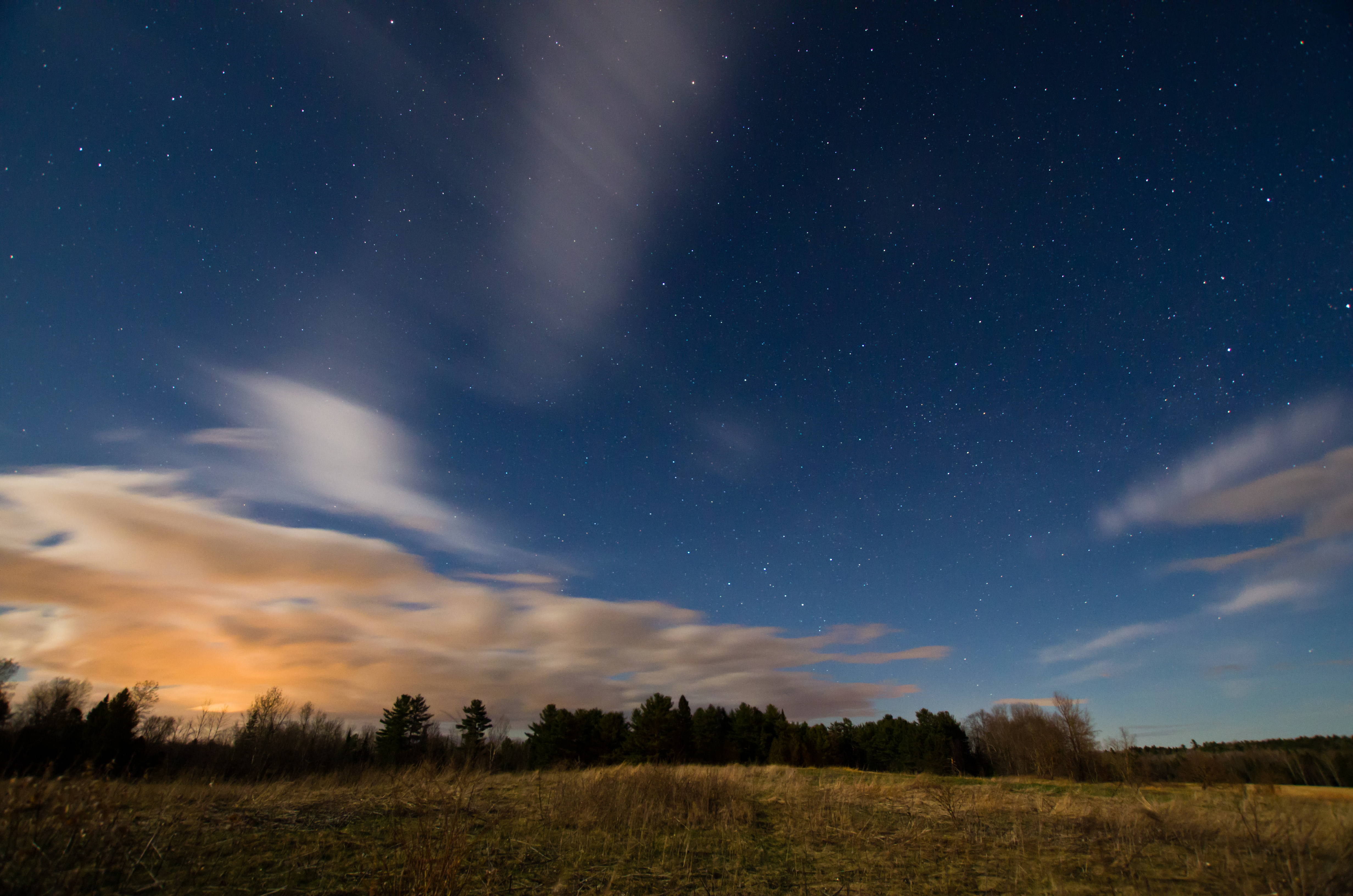
Sunkhaze Meadows Under the Stars; Benton, Maine
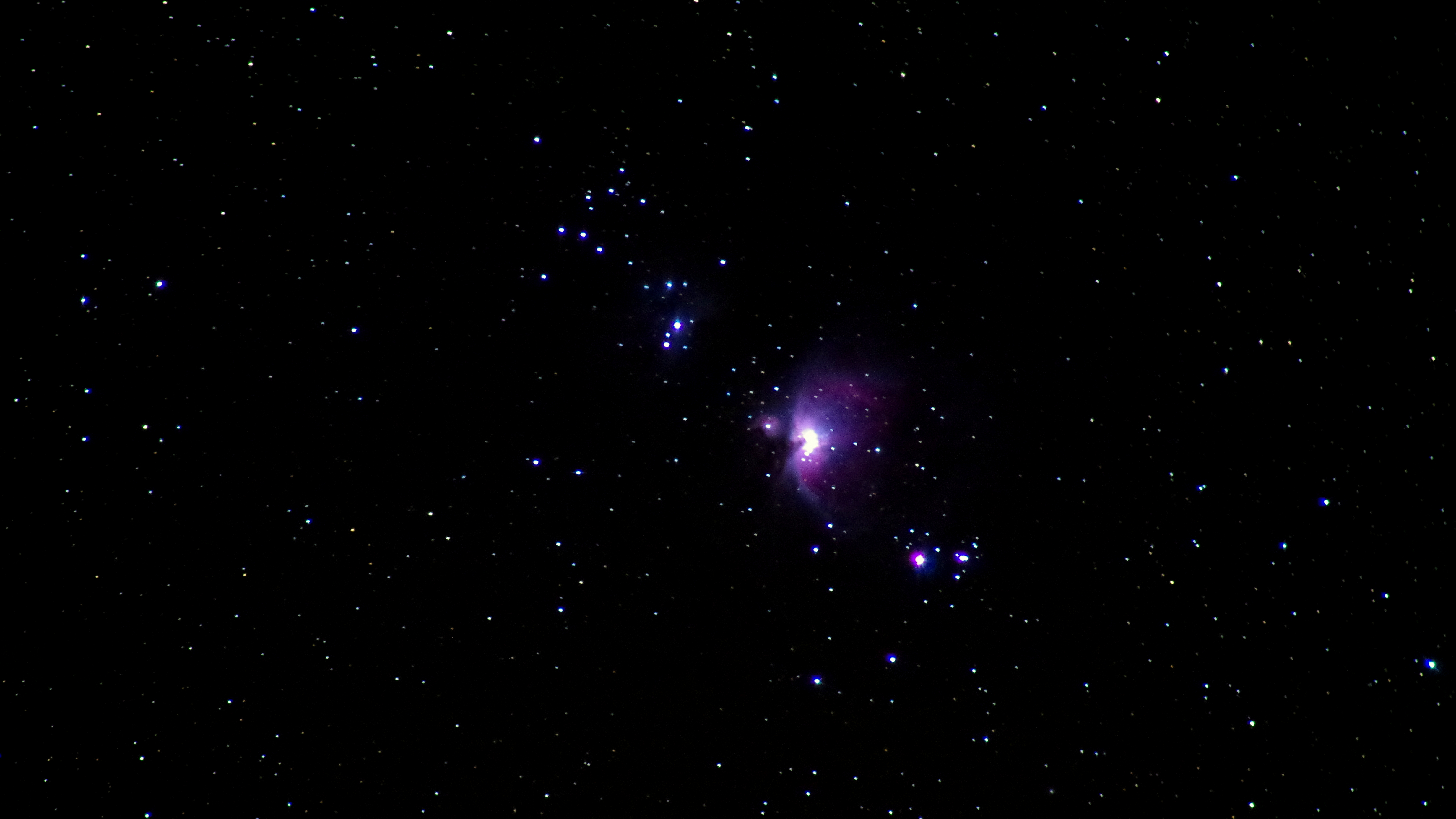
October 3, 2014 - Orion Nebula
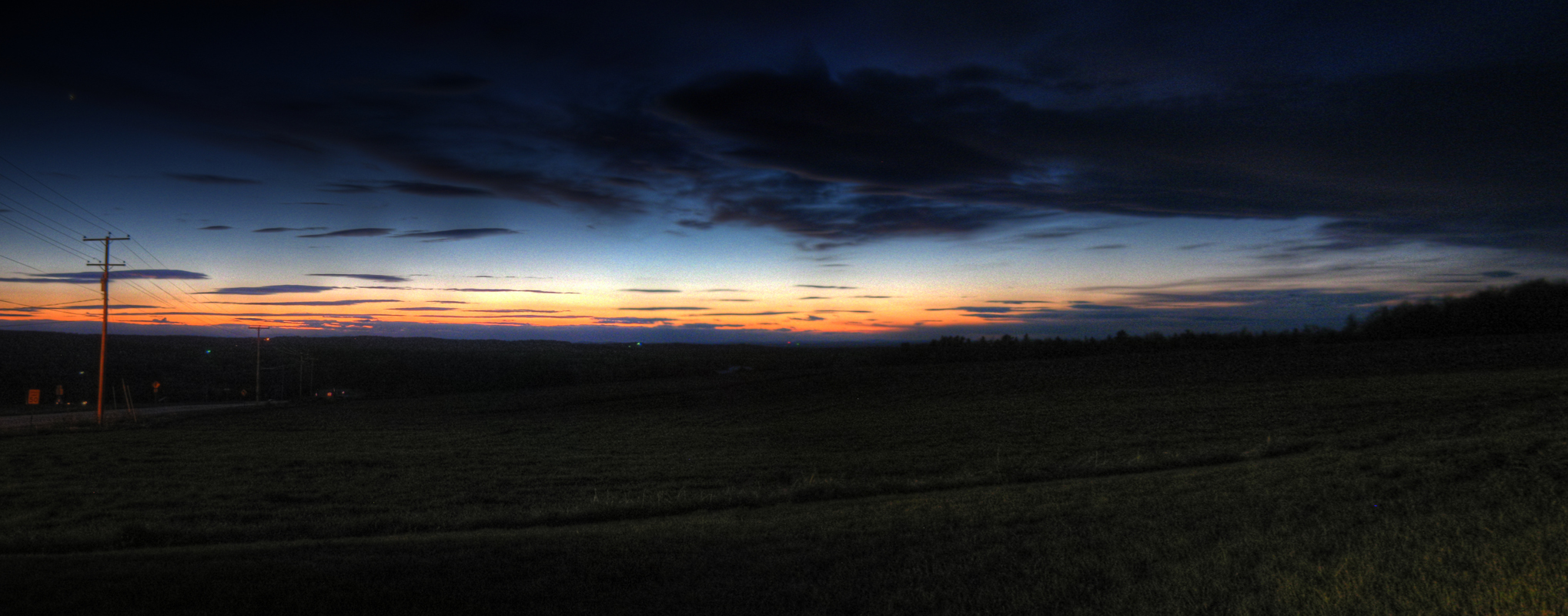
Last Gleaming; Knox, Maine
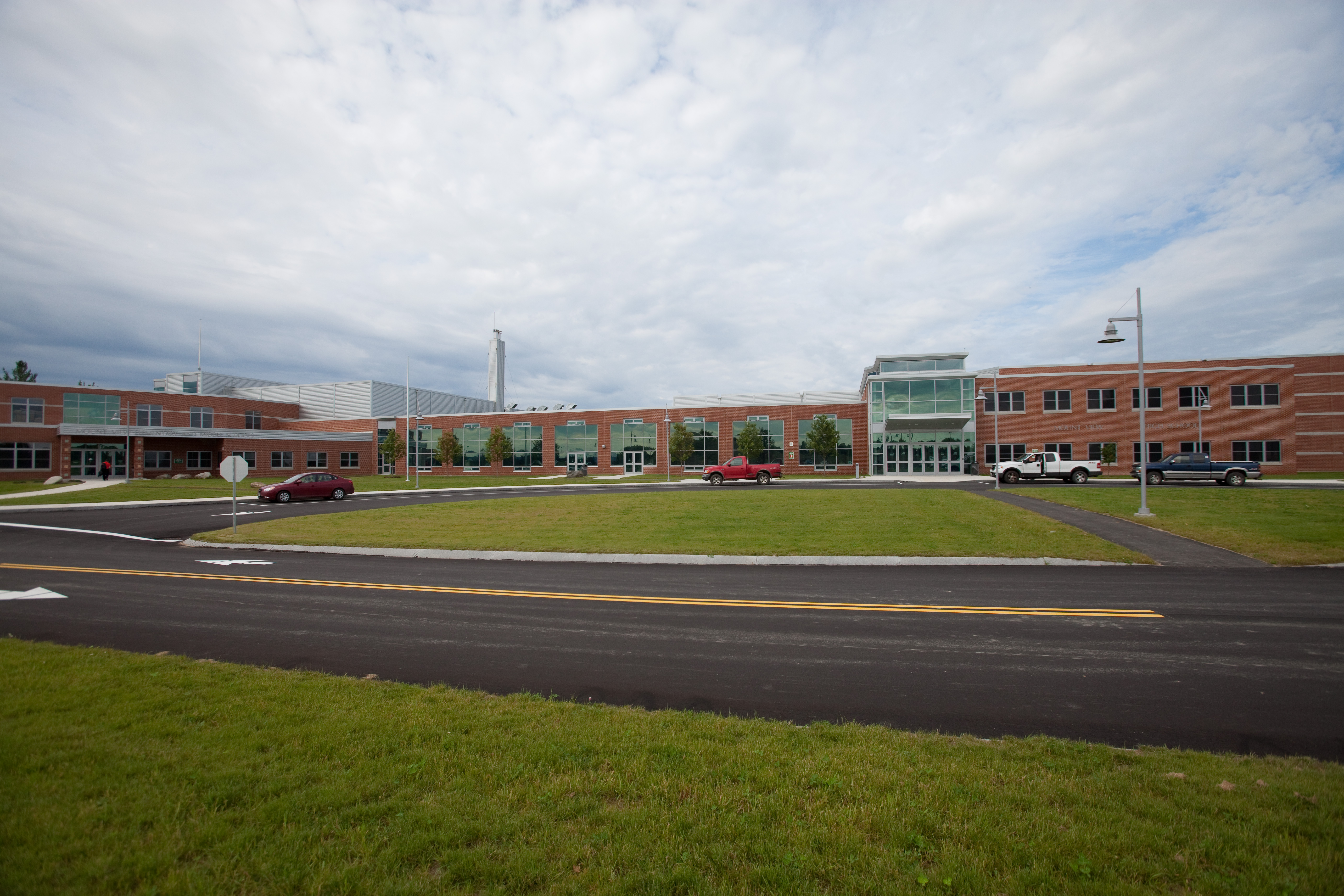
Mount View School
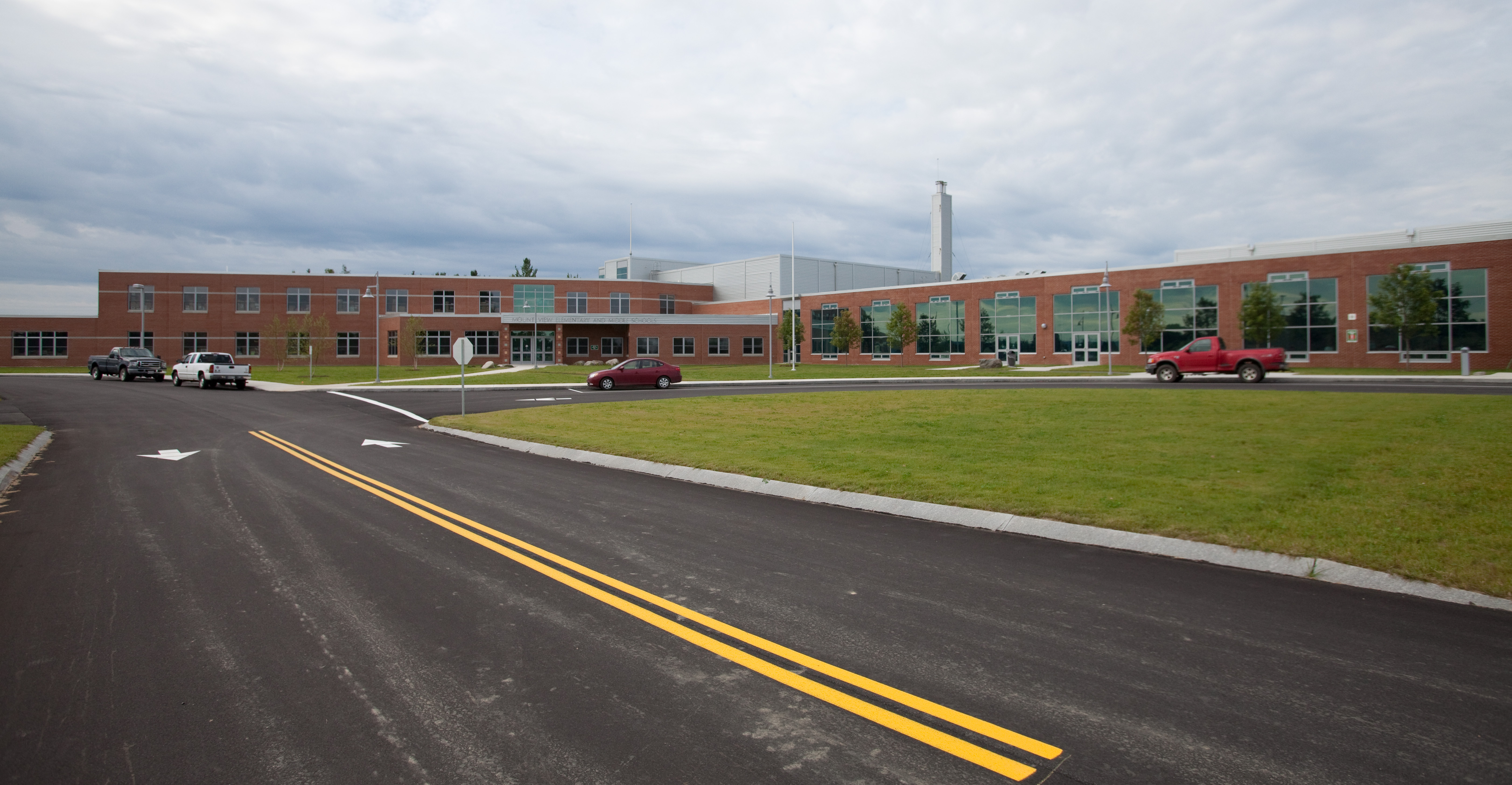
Mount View School
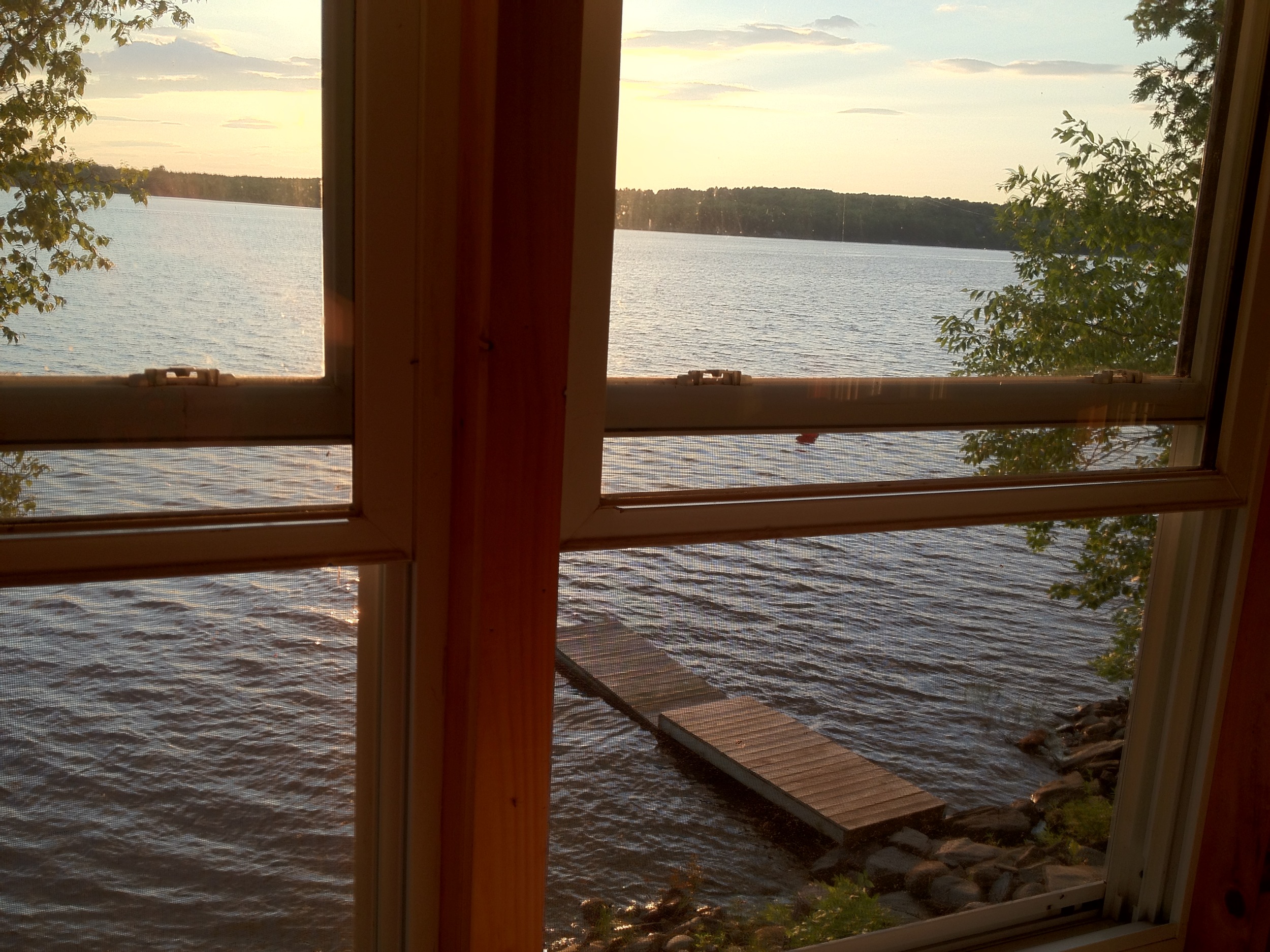
View from 2nd story
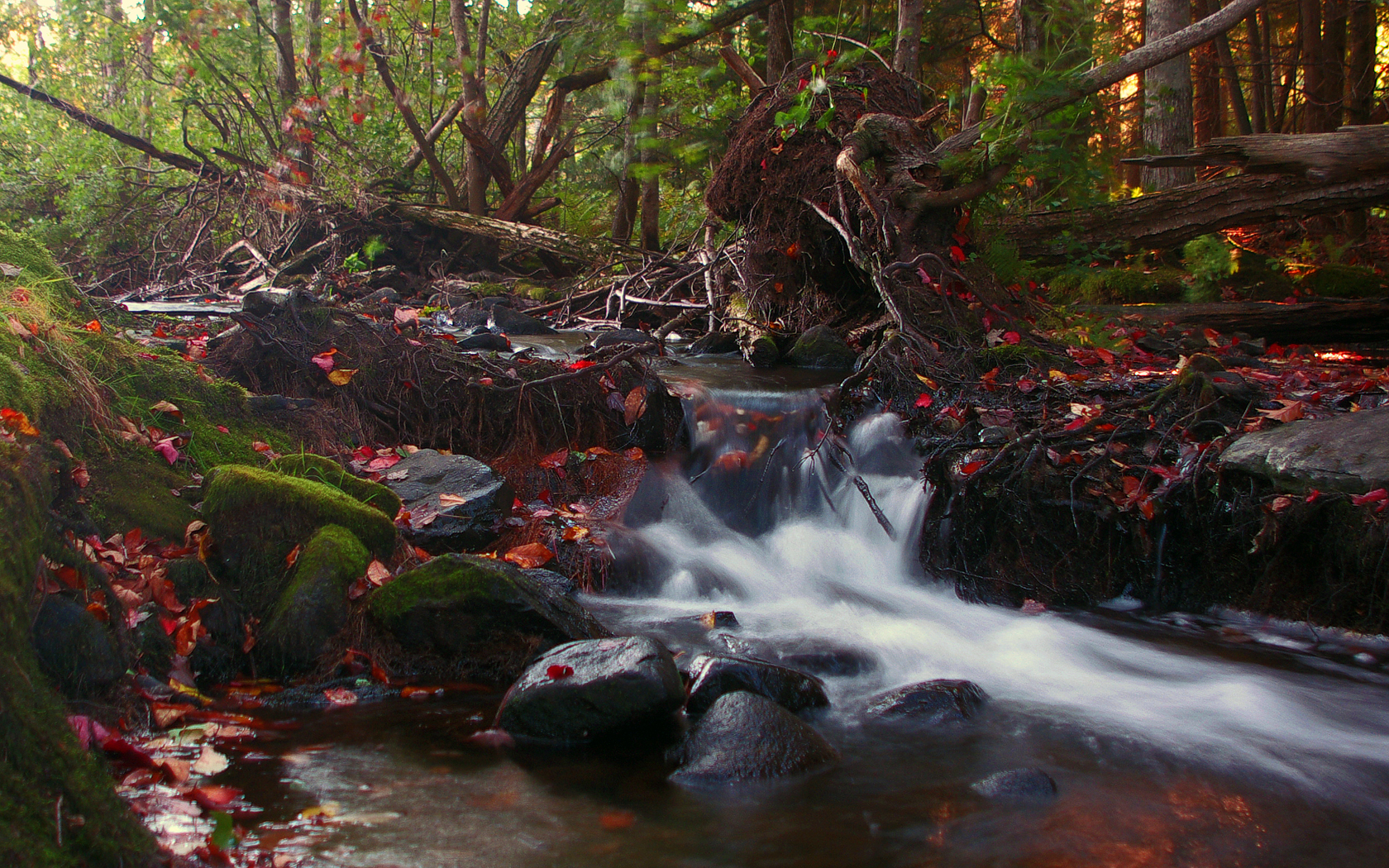
Sandy Stream; Freedom, Maine

Knox Sunset; Knox Corner, Knox, Maine
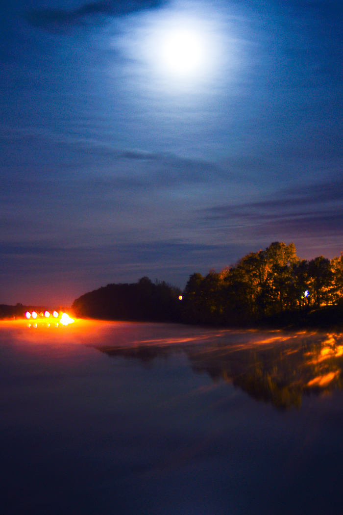
Sebasticook River and Full Moon; Benton, Maine
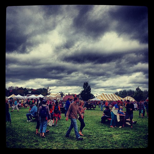
Menacing skies did not deter an insane amount of people from visiting the Common Ground Fair today! We had another awesome day. Met so many fantastic people! #commonground #cgcf
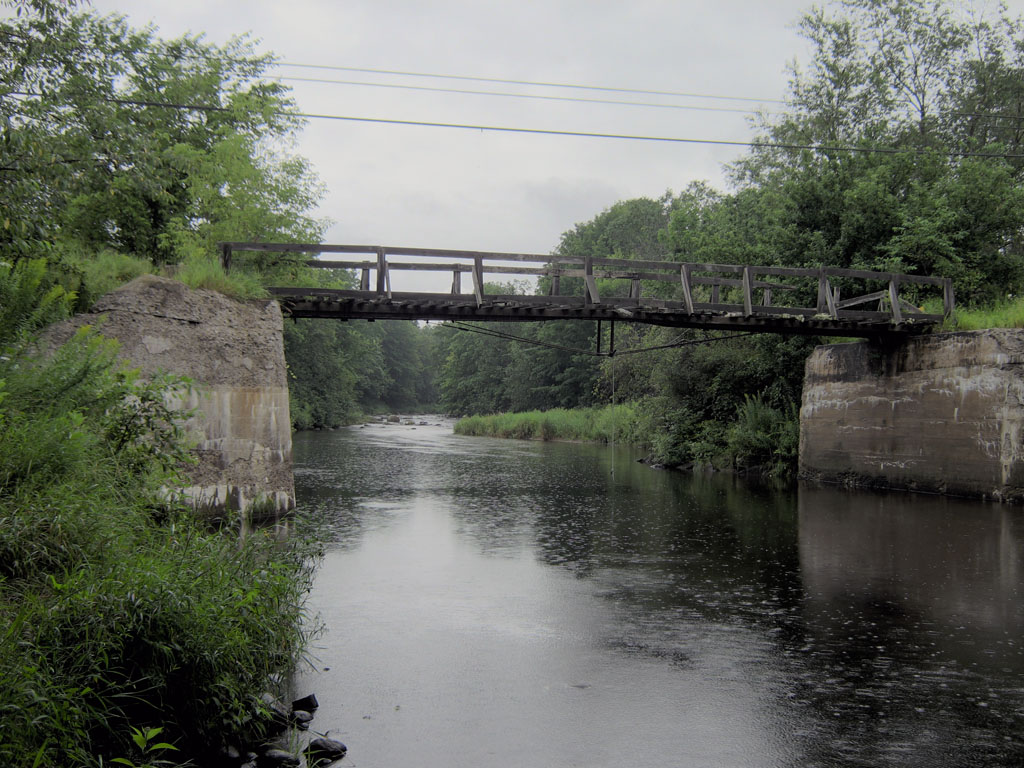
Bog Road Bridge over Fifteenmile Stream; Benton, Maine
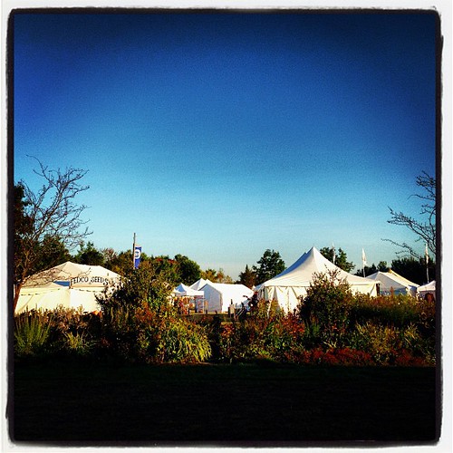
Good morning CGCF! So excited!! #commonground #fairground #maine

Freedom Spillway; Freedom, Maine

Saturday's end. #cgcf2013 #commonground
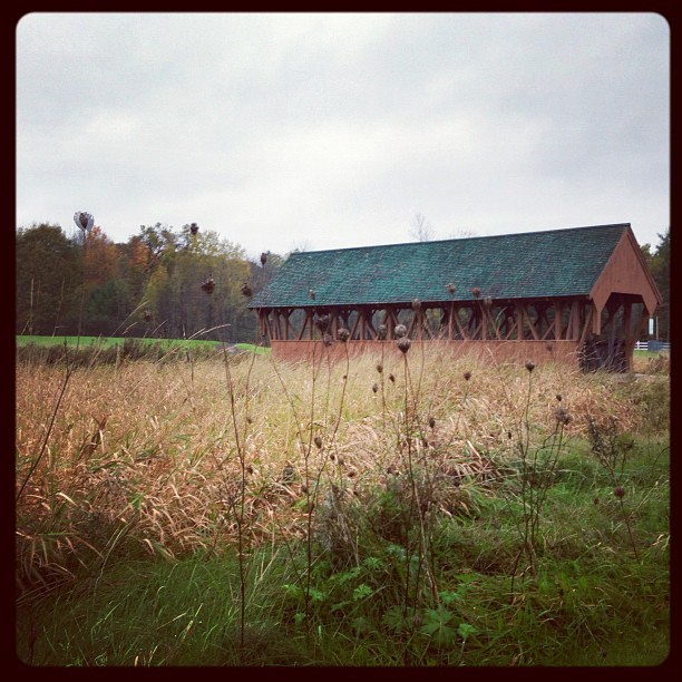
Field of Dreams covered bridge
The Bridge 3
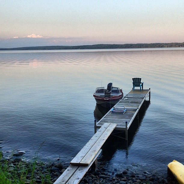
At Unity Pond

A Quick Return To Maine
Maine forever #maine
ho ho ho
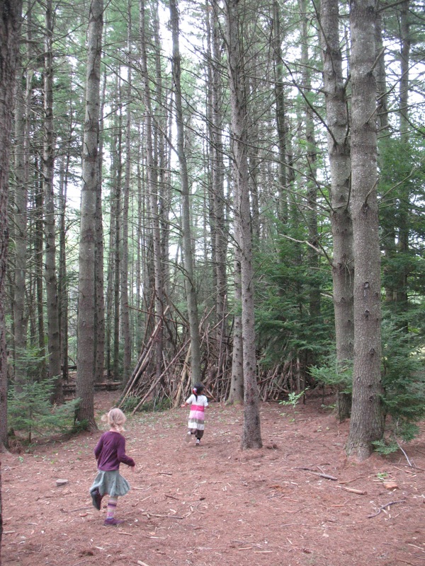
Exploring the woods at Common Ground

A Quick Return To Maine
A Quick Return To Maine
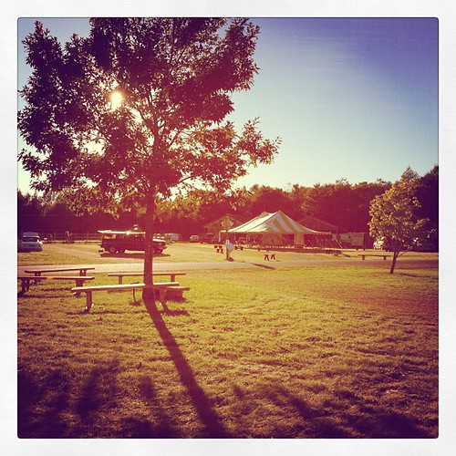
Gorgeous day for setting up! Today the fairground feels almost like Common Ground, but so very quiet. #commonground #fairground #maine
Fall At Lake Winnecook
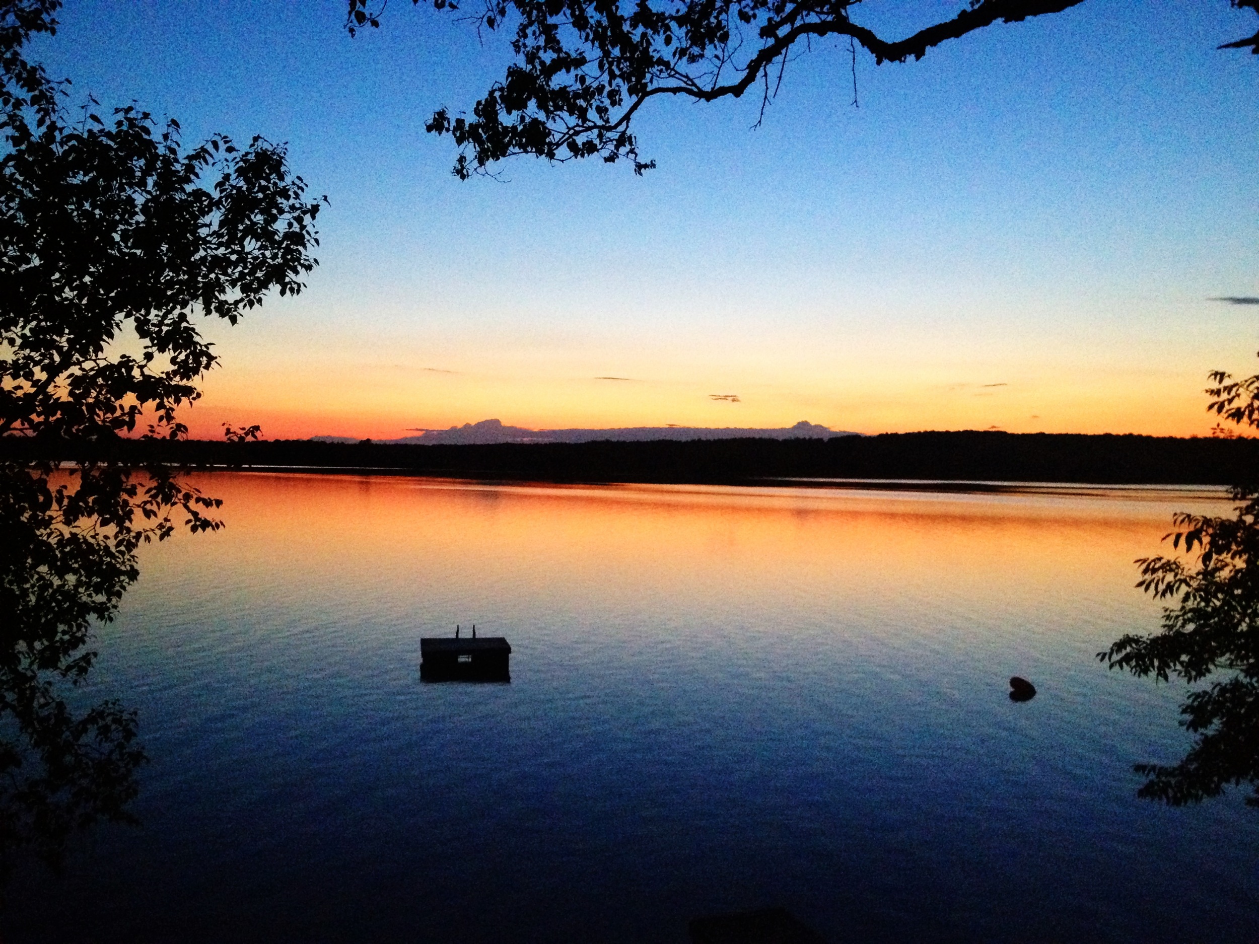
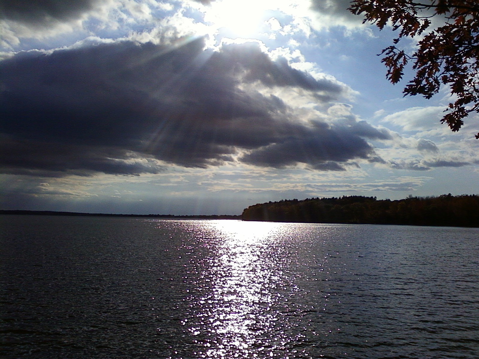
Sunset over Unity Pond
Topographic Map of 84 School St, Unity, ME, USA
Find elevation by address:

Places near 84 School St, Unity, ME, USA:
Unity
Unity
Unity
678 Waterville Rd
28 Thorndike Rd
952 Albion Rd
Unity Unorganized Territory
Libby Hill Road
345 Crosby Brook Rd
20 Pine Ridge Ln
431 Mt View Rd
Freedom
397 Quaker Hill Rd
44 Barnes Rd
Ridge Top Restaurant
Goosepecker Ridge Rd, Freedom, ME, USA
439 Knights Rd
Albion
216 Winslow Rd
28 Richards Rd
Recent Searches:
- Elevation of Corso Fratelli Cairoli, 35, Macerata MC, Italy
- Elevation of Tallevast Rd, Sarasota, FL, USA
- Elevation of 4th St E, Sonoma, CA, USA
- Elevation of Black Hollow Rd, Pennsdale, PA, USA
- Elevation of Oakland Ave, Williamsport, PA, USA
- Elevation of Pedrógão Grande, Portugal
- Elevation of Klee Dr, Martinsburg, WV, USA
- Elevation of Via Roma, Pieranica CR, Italy
- Elevation of Tavkvetili Mountain, Georgia
- Elevation of Hartfords Bluff Cir, Mt Pleasant, SC, USA