Elevation of MS-, Fayette, MS, USA
Location:
United States >
Mississippi >
| Latitude | 31.7204317 |
|---|---|
| Longitude | -91.0358672 |
| Elevation | 71m / 233feet |
| Barometric Pressure | 1005KPa |
Related Photos:
IMG_6184
IMG_6191
IMG_6195
IMG_6198

IMG_6190
IMG_6204
IMG_6201
IMG_6193
IMG_6187
IMG_6202
IMG_6188
IMG_6192

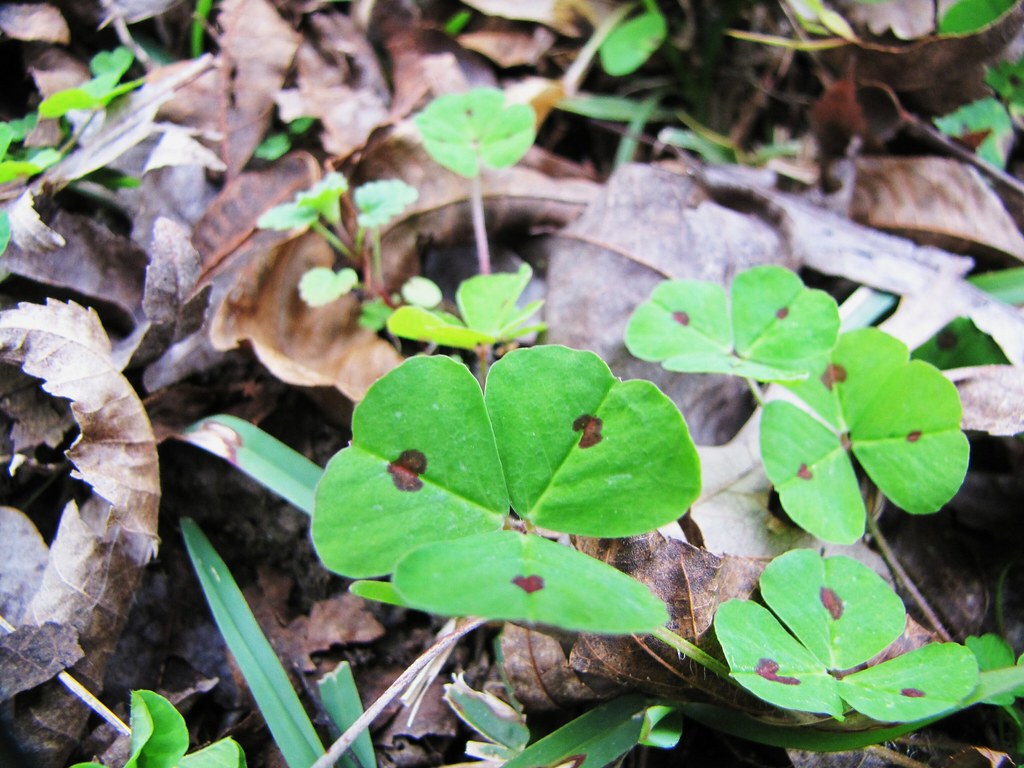
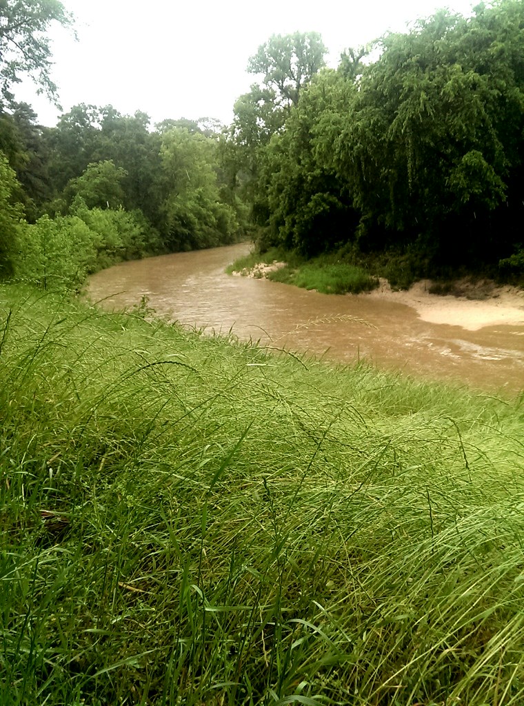
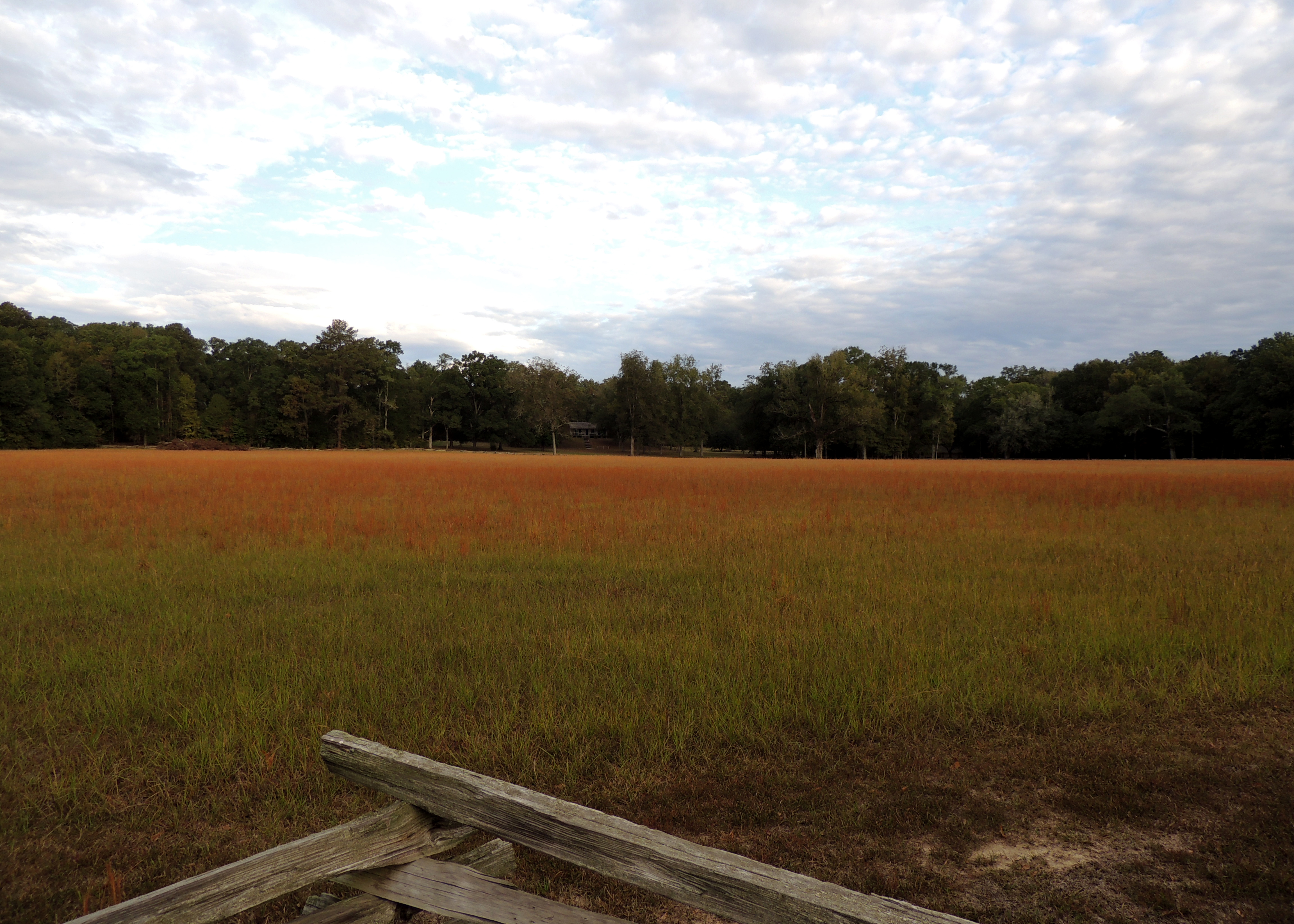
Broom Grass

Beaver Pond 2
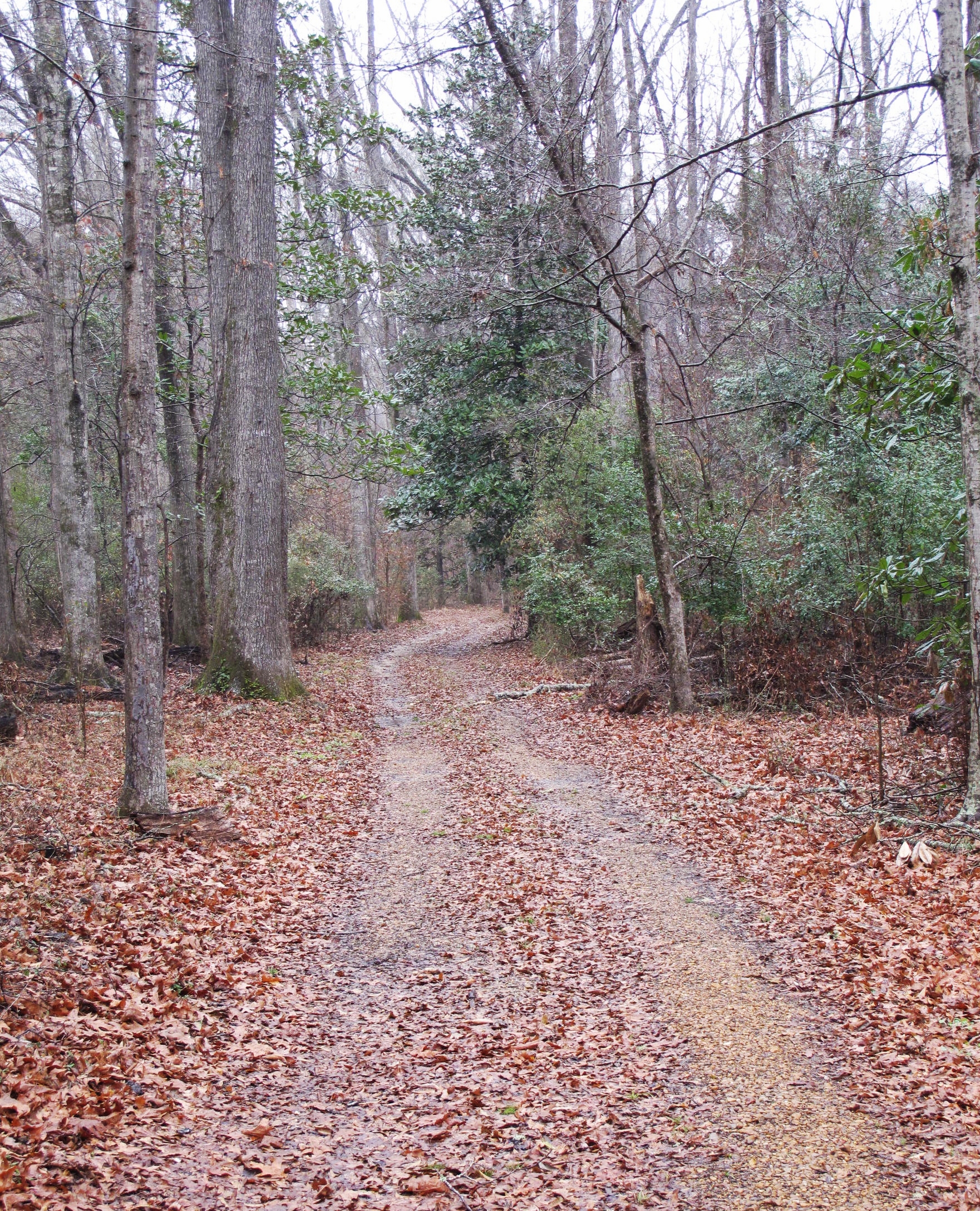
Natchez Trace at Mount Locust, Jefferson County (Miss.), 10 February 2014
Coles Creek stop on the Natchez Trace Parkway, near Natchez MS. May 2014.

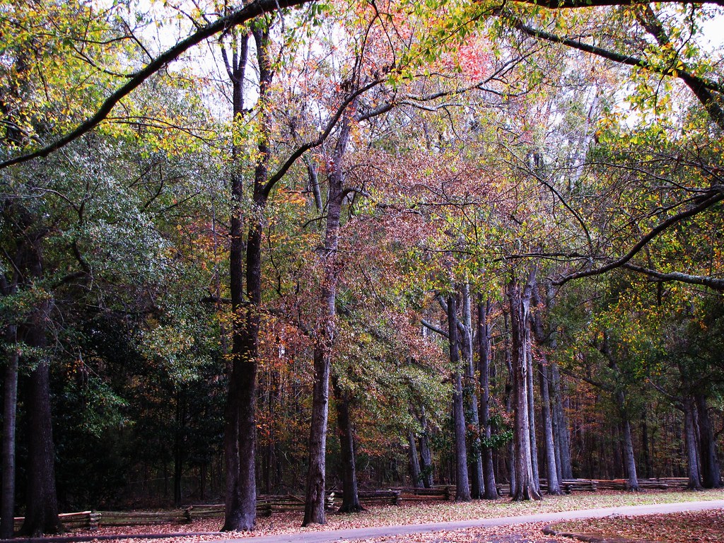
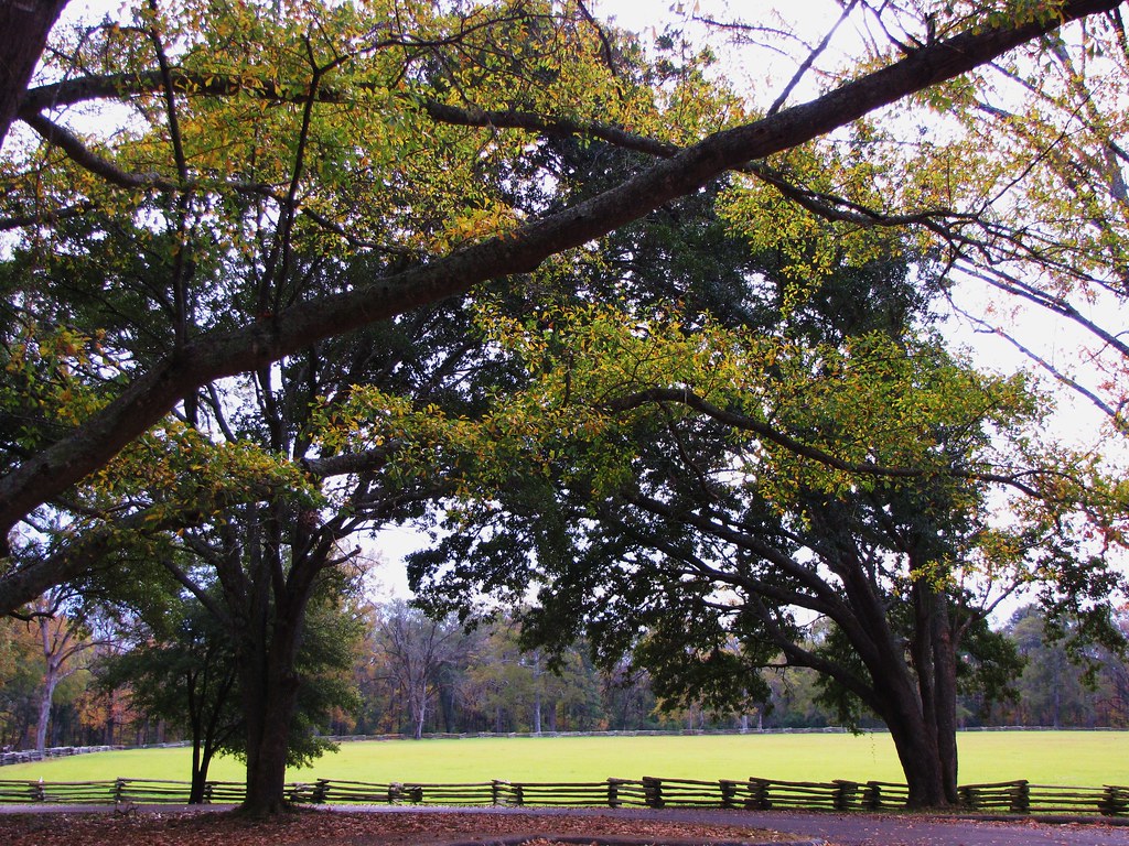
Natchez Trace
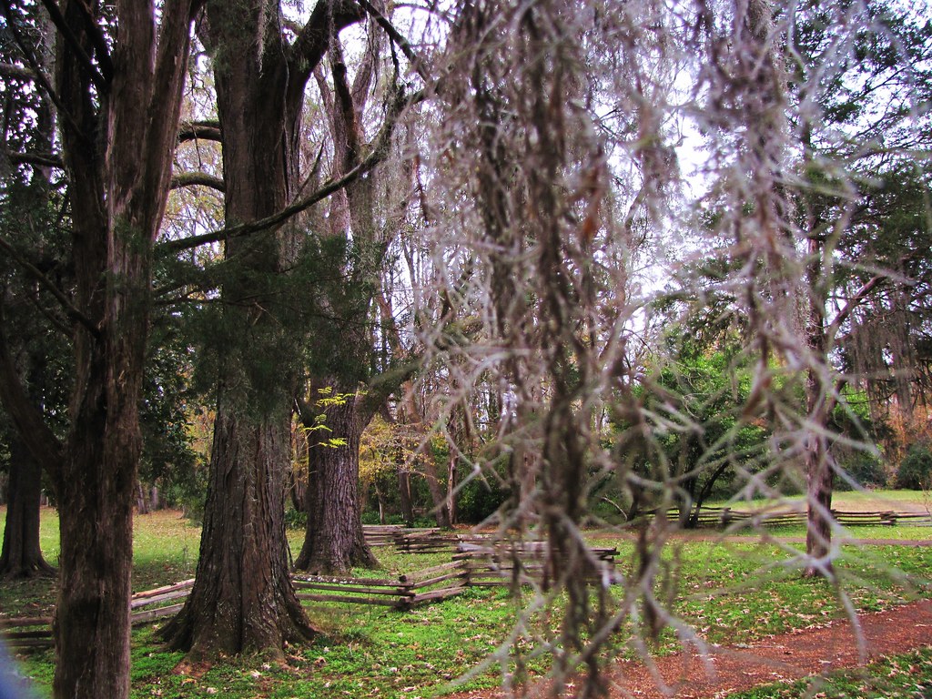
Coles Creek
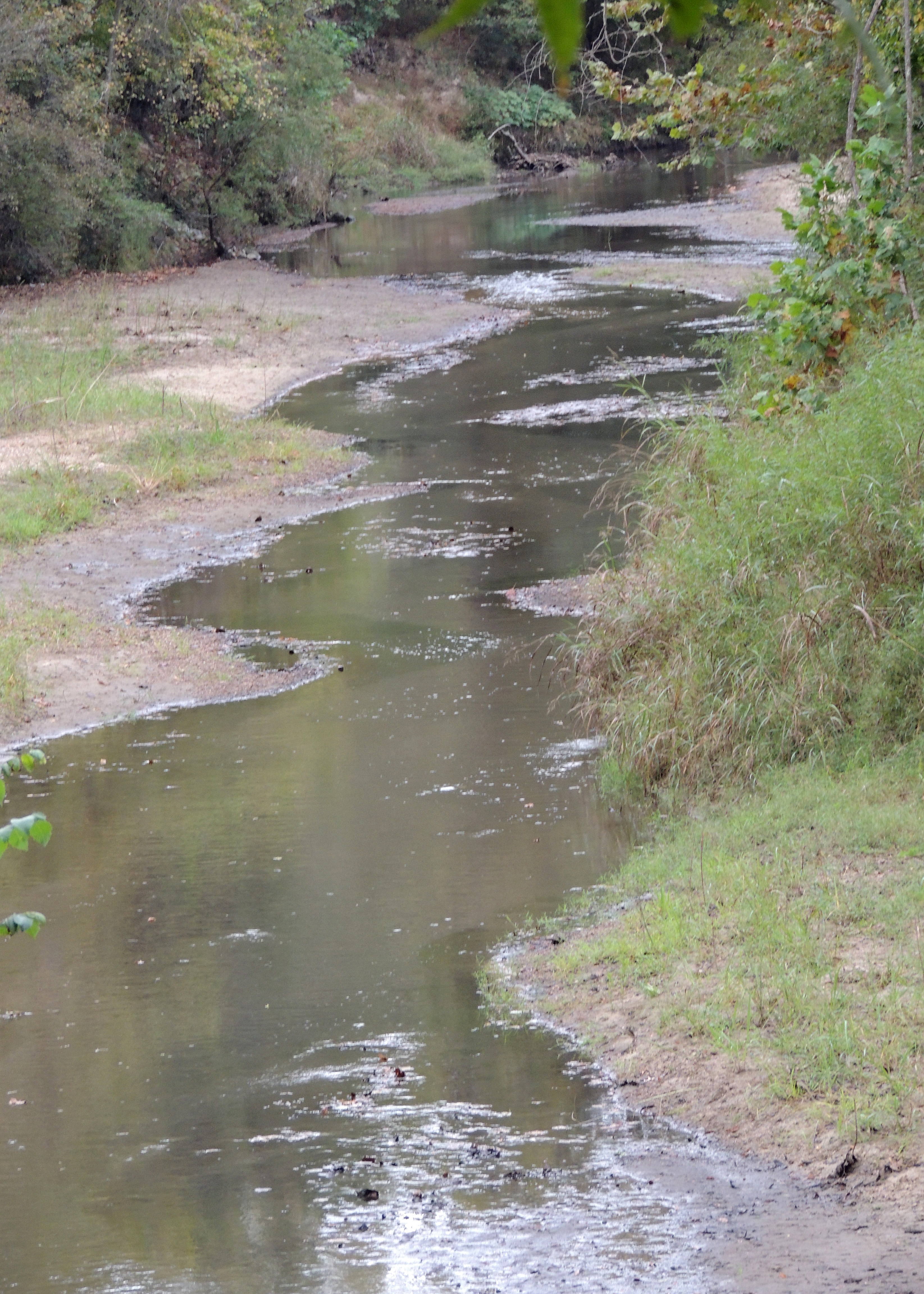
Coles Creek
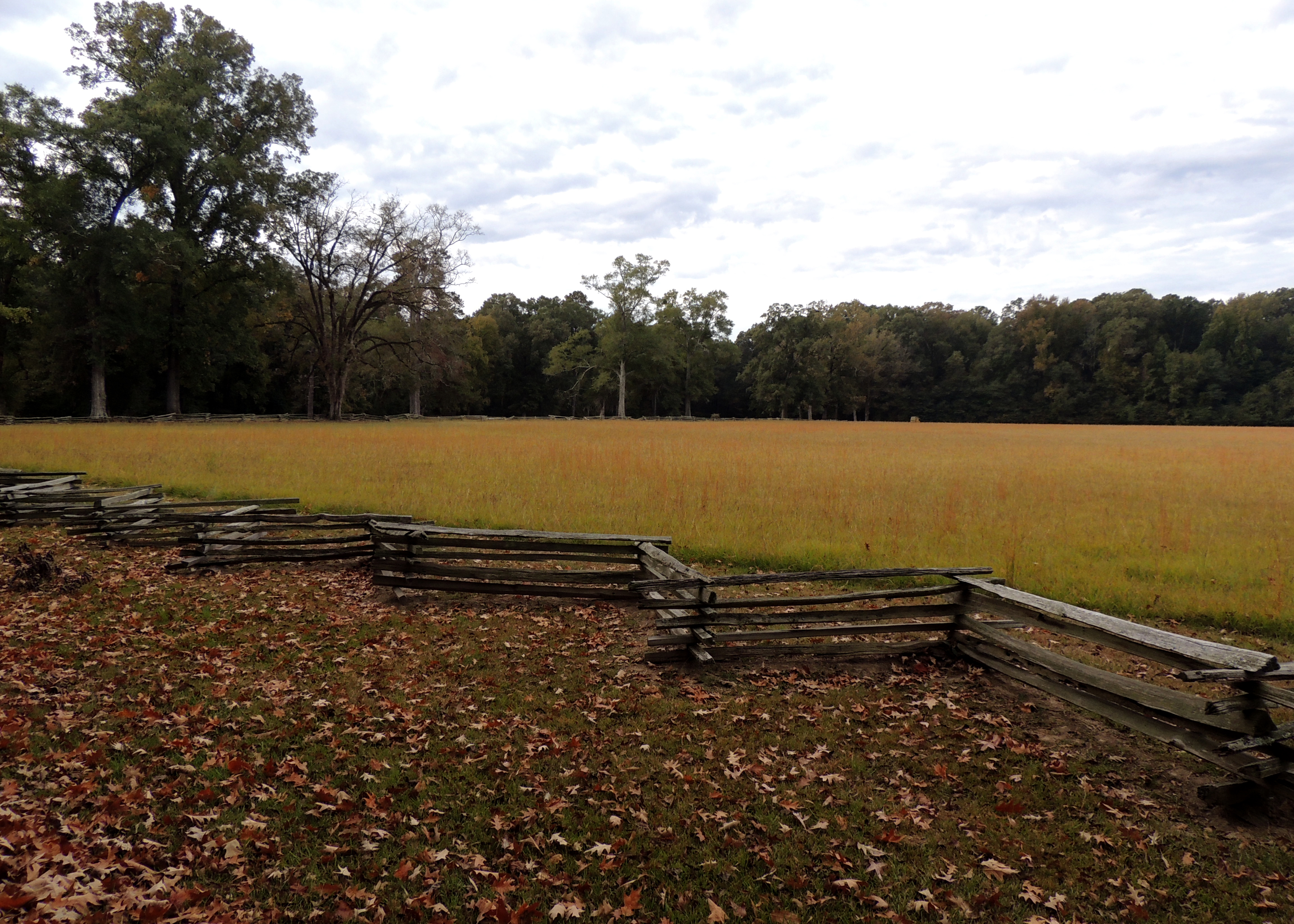
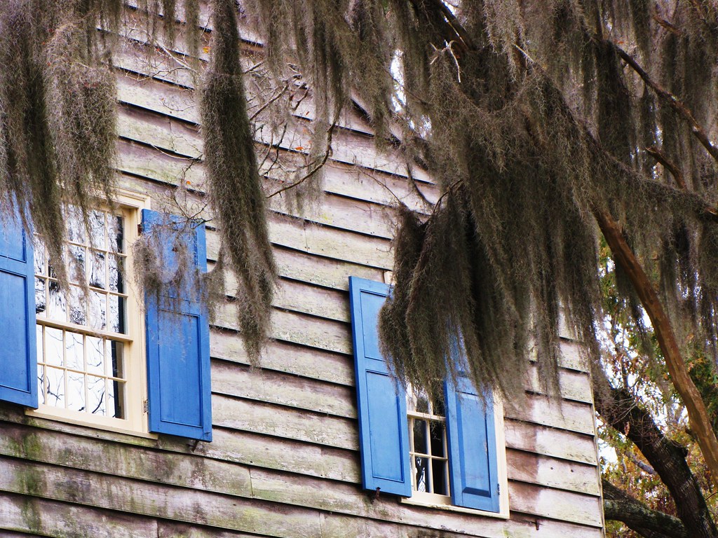
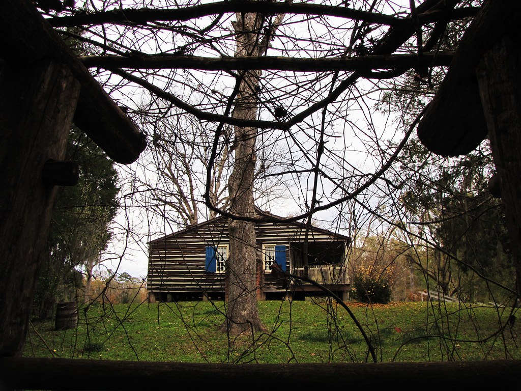
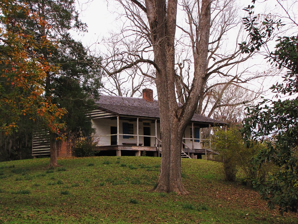
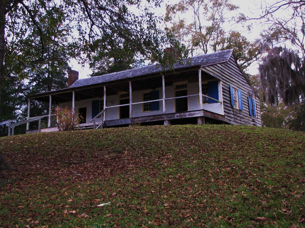
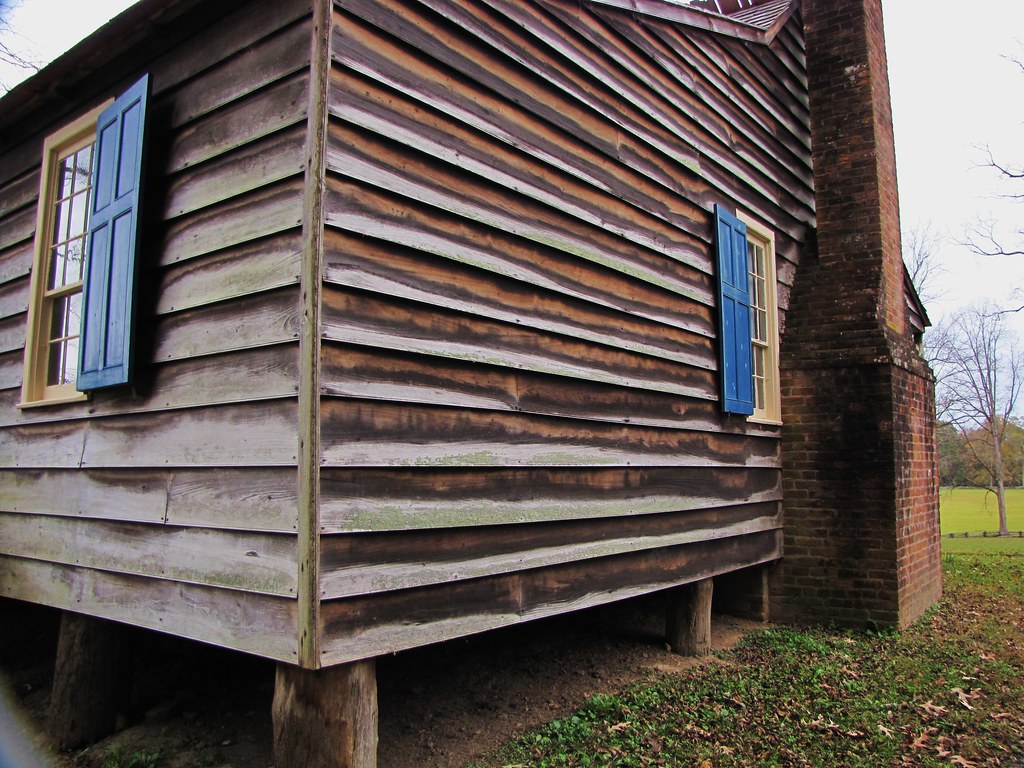
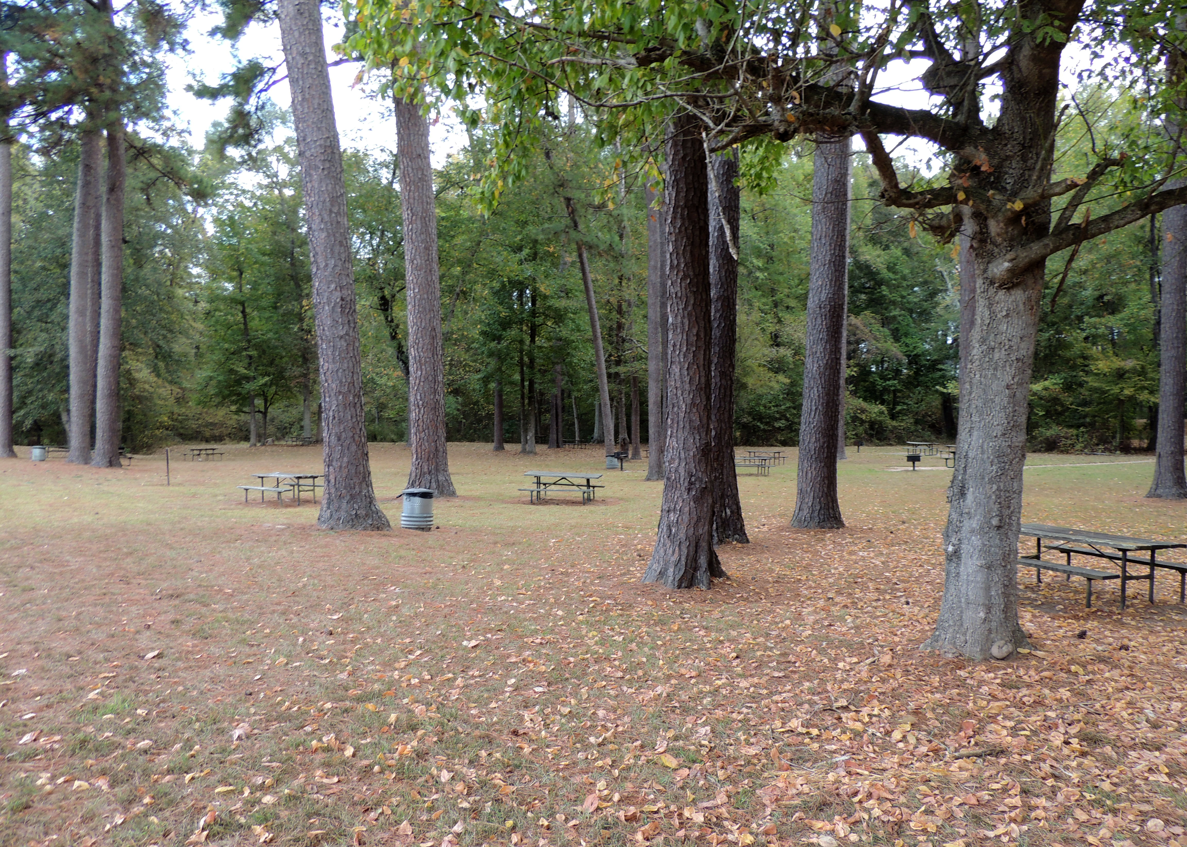
Mount Locust
Mount Locust
Topographic Map of MS-, Fayette, MS, USA
Find elevation by address:
Places near MS-, Fayette, MS, USA:
1572 Main St
1572 Main St
1572 Main St
Fayette
Jefferson County
The New Nation Of Islam
Lorman
Rodney Road
8330 Rodney Rd
3013 Sunset Hill Rd
Ross Ln, Port Gibson, MS, USA
Rodney Road
Port Gibson Water Works System
Claiborne County
61 Natchez Trace Pkwy
23 Natchez Trace Pkwy
Port Gibson
237 Traceway Dr
2040 Waterloo Rd
Waterloo Road
Recent Searches:
- Elevation of 104, Chancery Road, Middletown Township, Bucks County, Pennsylvania, 19047, USA
- Elevation of 1212, Cypress Lane, Dayton, Liberty County, Texas, 77535, USA
- Elevation map of Central Hungary, Hungary
- Elevation map of Pest, Central Hungary, Hungary
- Elevation of Pilisszentkereszt, Pest, Central Hungary, Hungary
- Elevation of Dharamkot Tahsil, Punjab, India
- Elevation of Bhinder Khurd, Dharamkot Tahsil, Punjab, India
- Elevation of 2881, Chabot Drive, San Bruno, San Mateo County, California, 94066, USA
- Elevation of 10370, West 107th Circle, Westminster, Jefferson County, Colorado, 80021, USA
- Elevation of 611, Roman Road, Old Ford, Bow, London, England, E3 2RW, United Kingdom
- Elevation of 116, Beartown Road, Underhill, Chittenden County, Vermont, 05489, USA
- Elevation of Window Rock, Colfax County, New Mexico, 87714, USA
- Elevation of 4807, Rosecroft Street, Kempsville Gardens, Virginia Beach, Virginia, 23464, USA
- Elevation map of Matawinie, Quebec, Canada
- Elevation of Sainte-Émélie-de-l'Énergie, Matawinie, Quebec, Canada
- Elevation of Rue du Pont, Sainte-Émélie-de-l'Énergie, Matawinie, Quebec, J0K2K0, Canada
- Elevation of 8, Rue de Bécancour, Blainville, Thérèse-De Blainville, Quebec, J7B1N2, Canada
- Elevation of Wilmot Court North, 163, University Avenue West, Northdale, Waterloo, Region of Waterloo, Ontario, N2L6B6, Canada
- Elevation map of Panamá Province, Panama
- Elevation of Balboa, Panamá Province, Panama