Elevation of Fayette, MS, USA
Location: United States > Mississippi >
Longitude: -91.060660
Latitude: 31.7115534
Elevation: 88m / 289feet
Barometric Pressure: 100KPa
Elevation Map:
Satellite Map:
Related Photos:

IMG_6191
IMG_6195
IMG_6198

IMG_6190

IMG_6184
IMG_6204
IMG_6201
IMG_6193
IMG_6187
IMG_6188
IMG_6192
IMG_6202
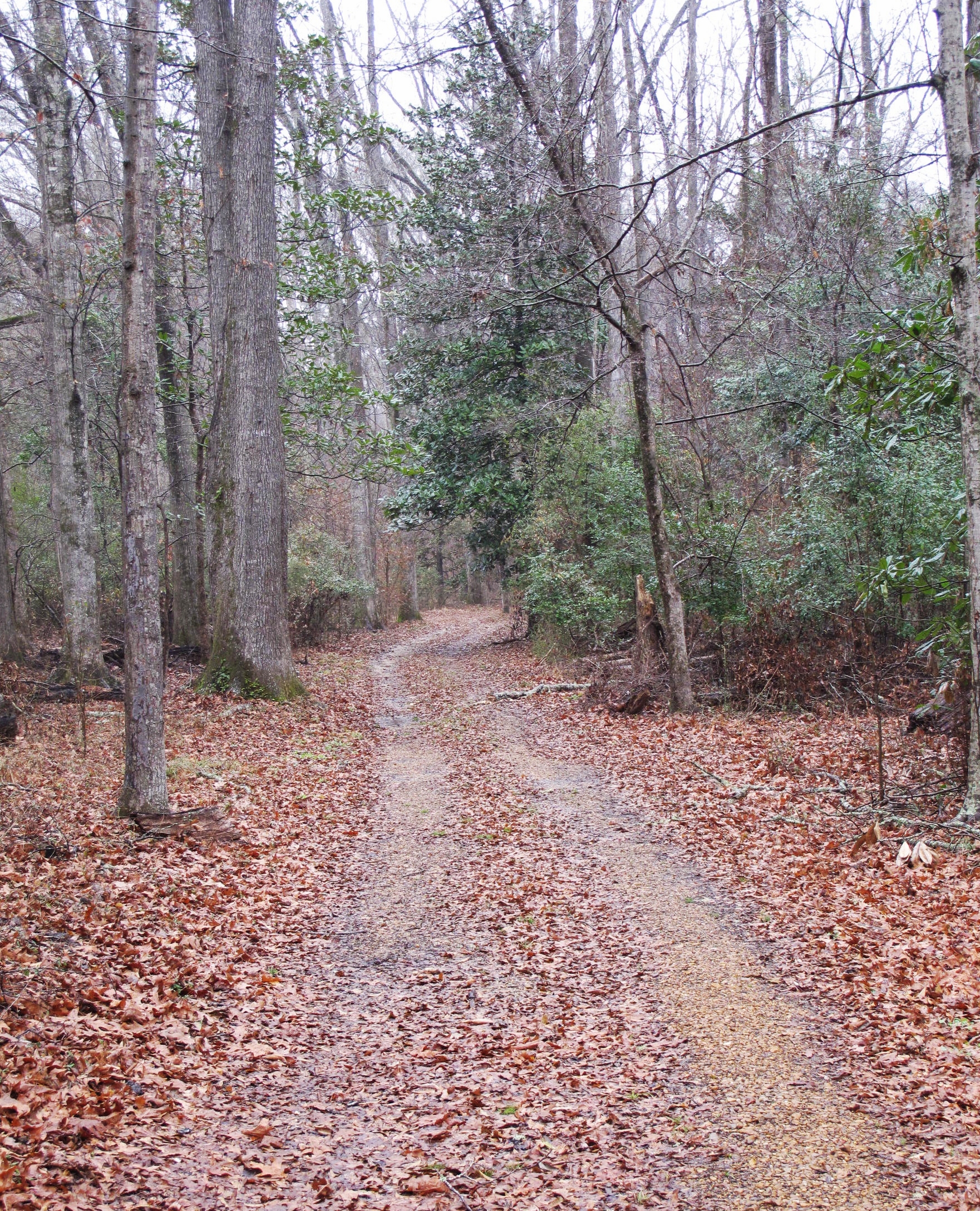
Natchez Trace at Mount Locust, Jefferson County (Miss.), 10 February 2014
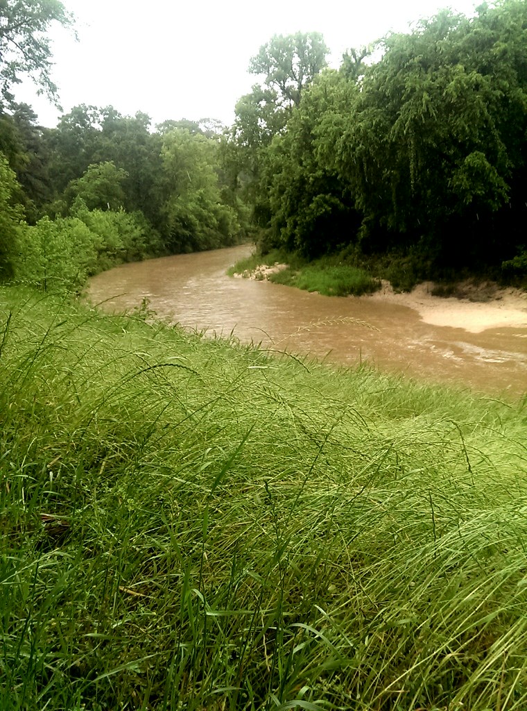
Coles Creek stop on the Natchez Trace Parkway, near Natchez MS. May 2014.

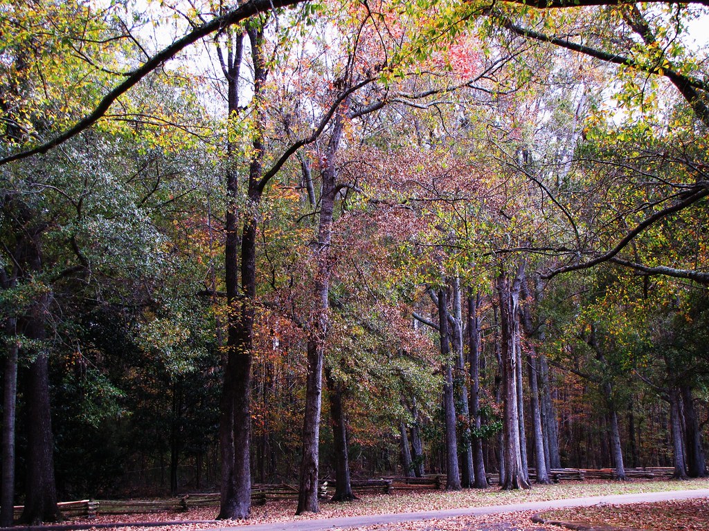
Natchez Trace
Coles Creek
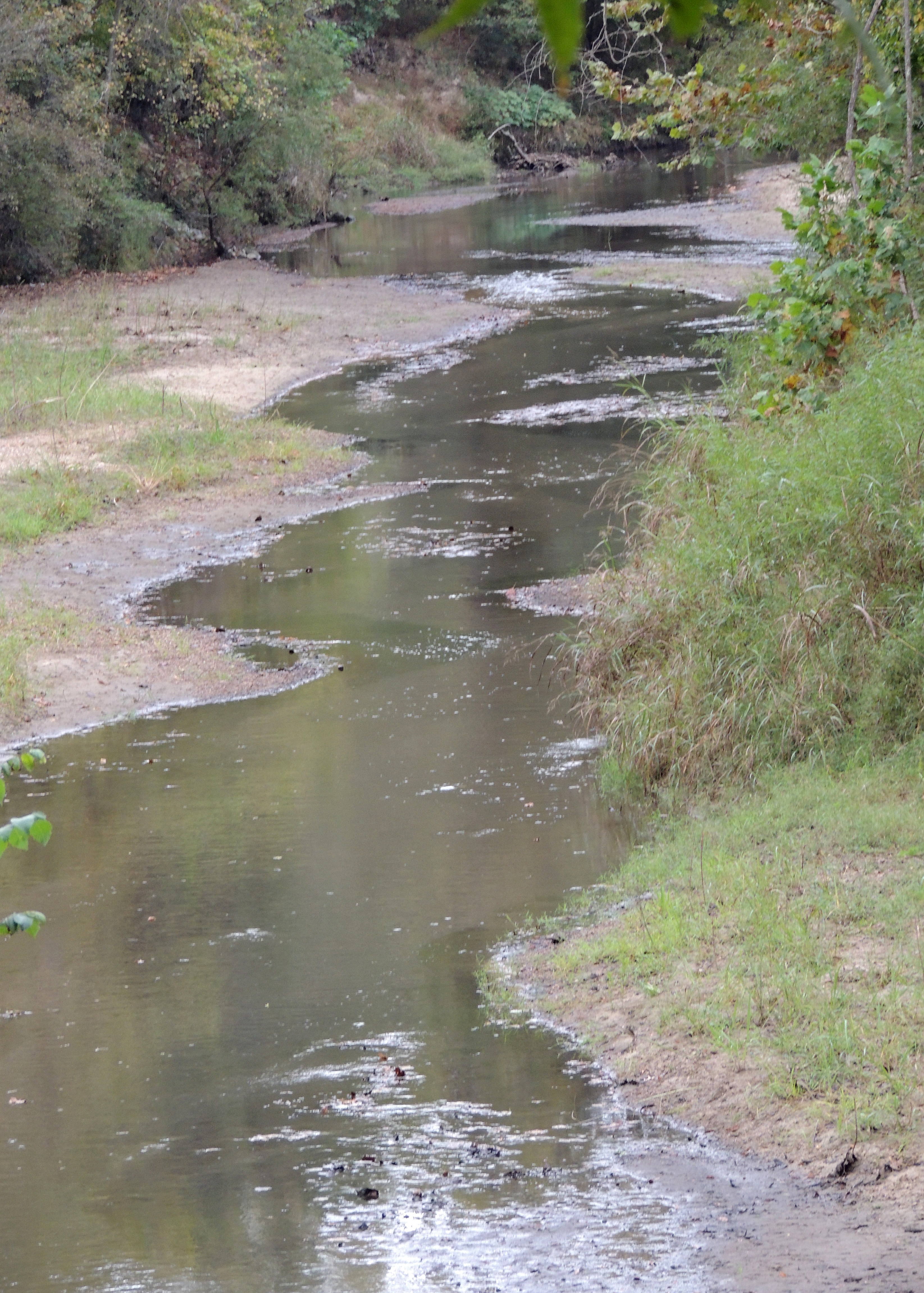
Coles Creek
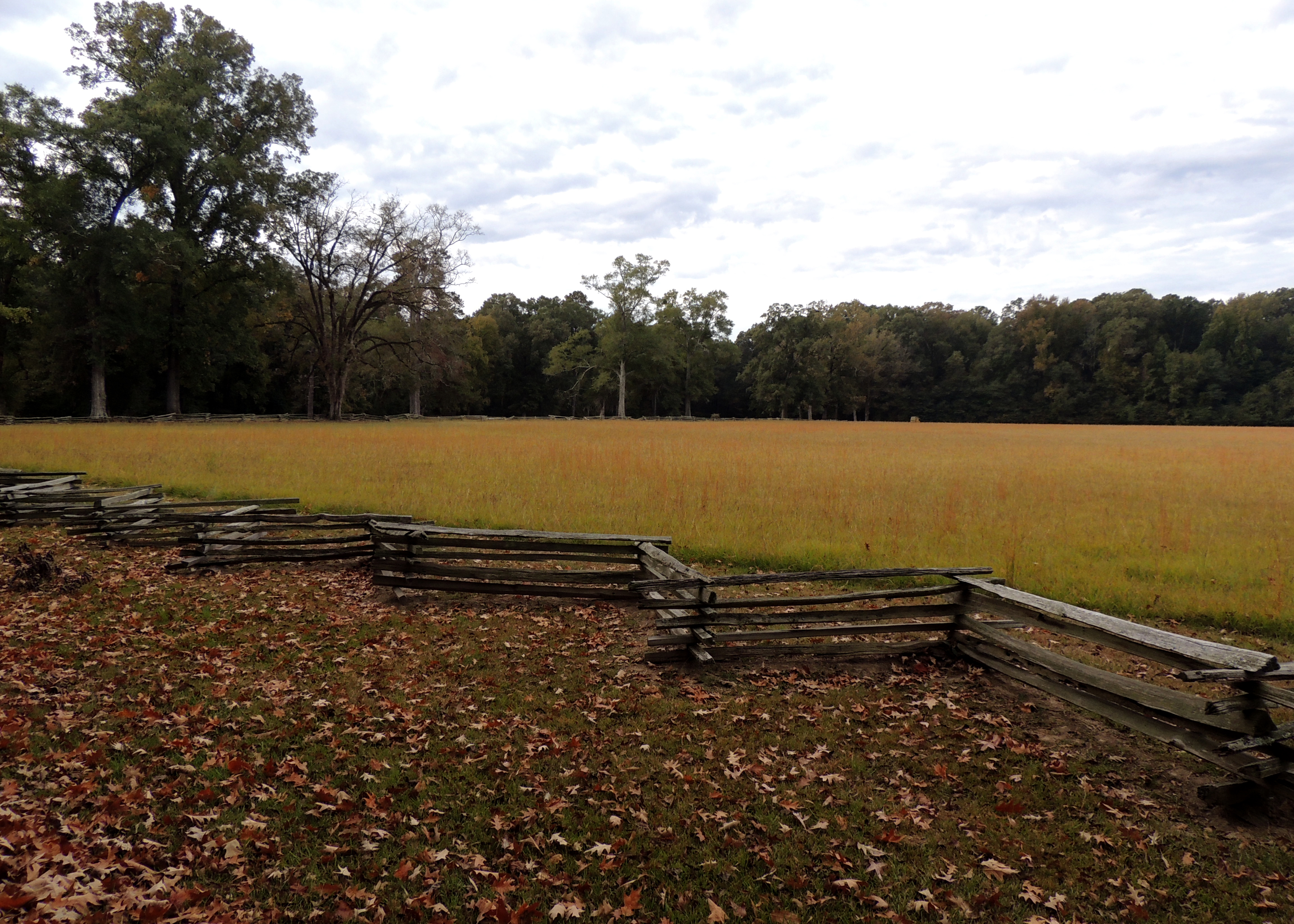
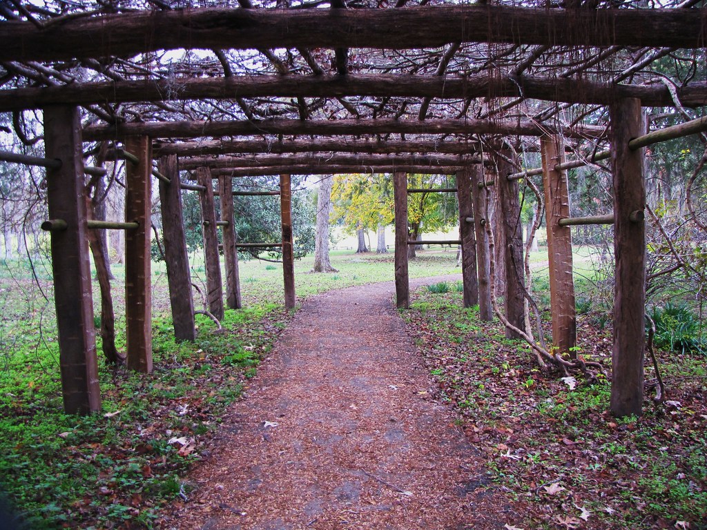
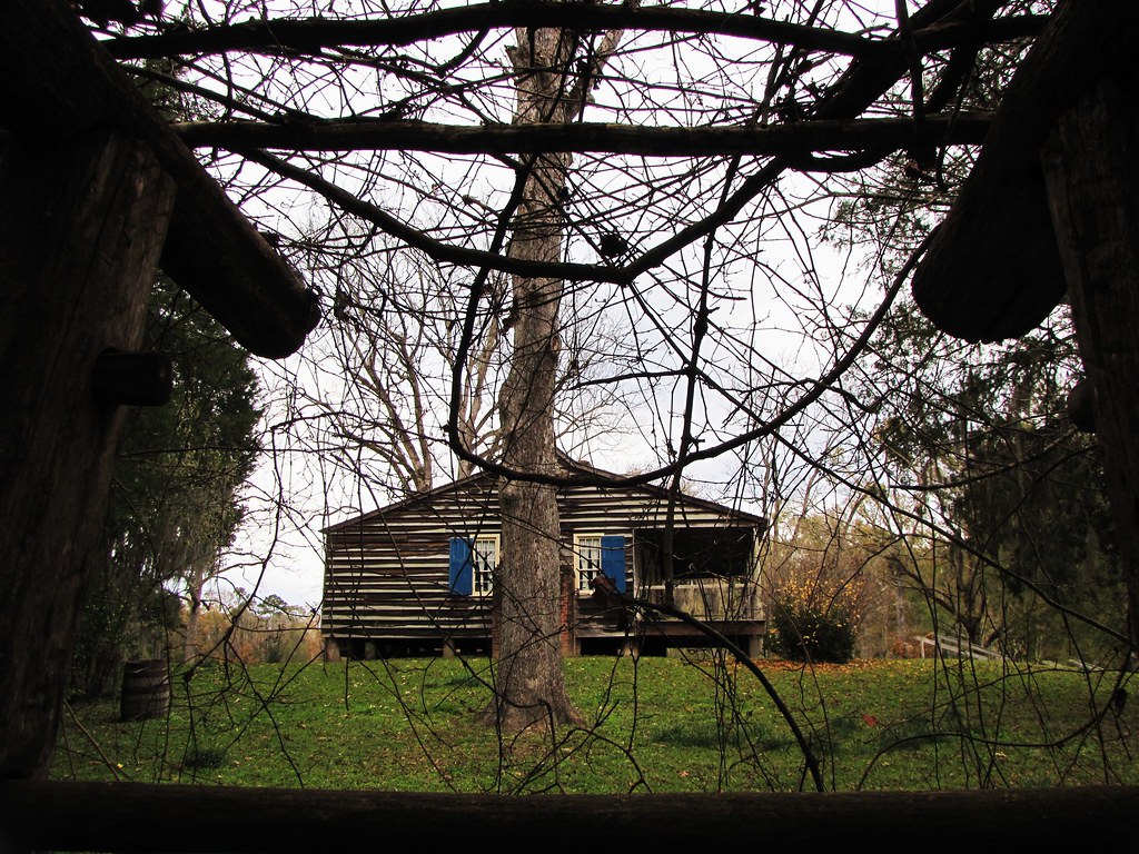
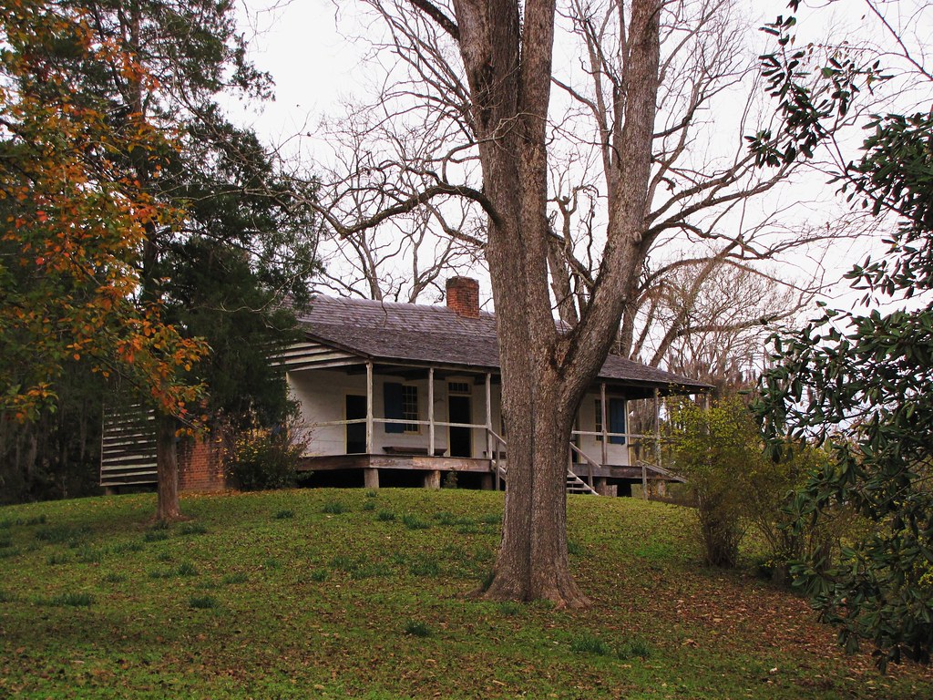
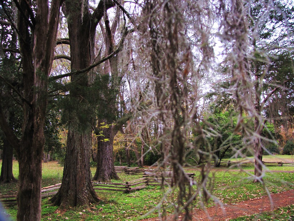
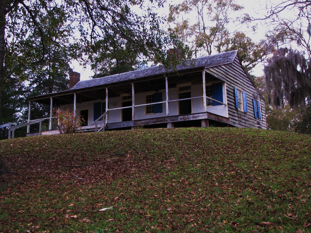
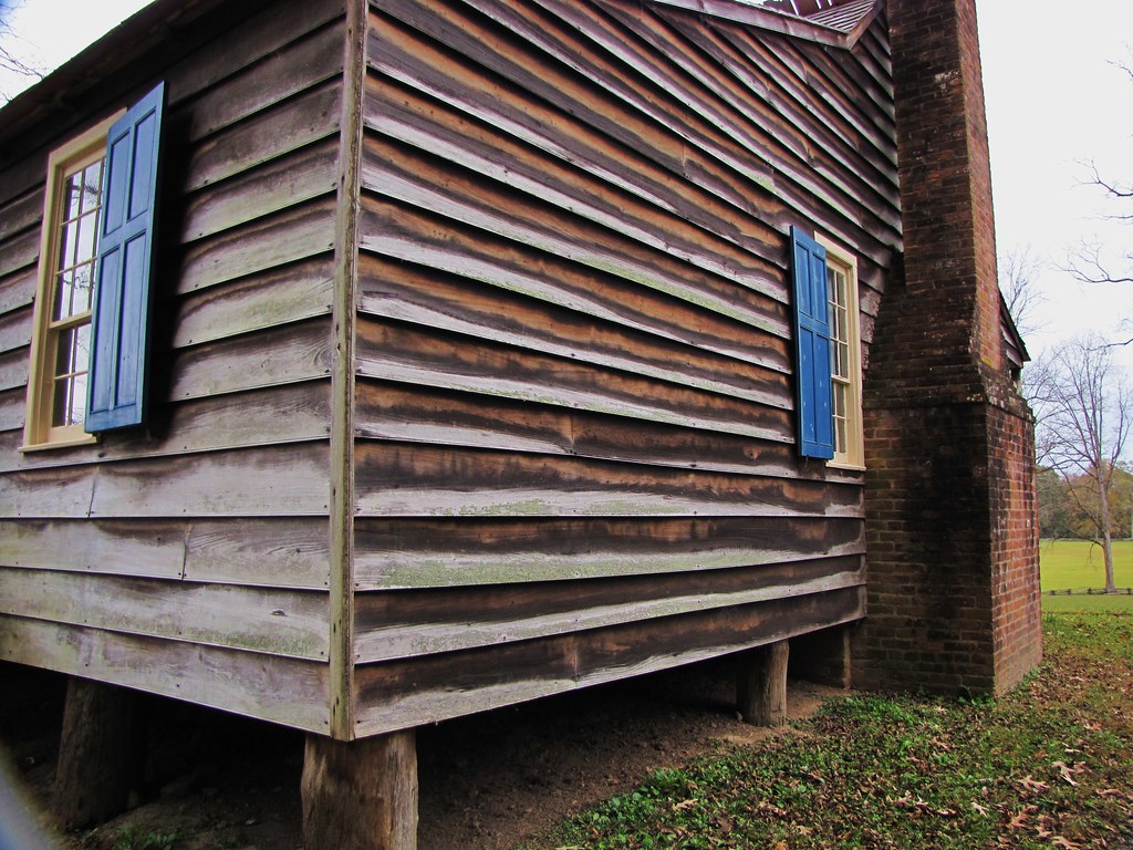
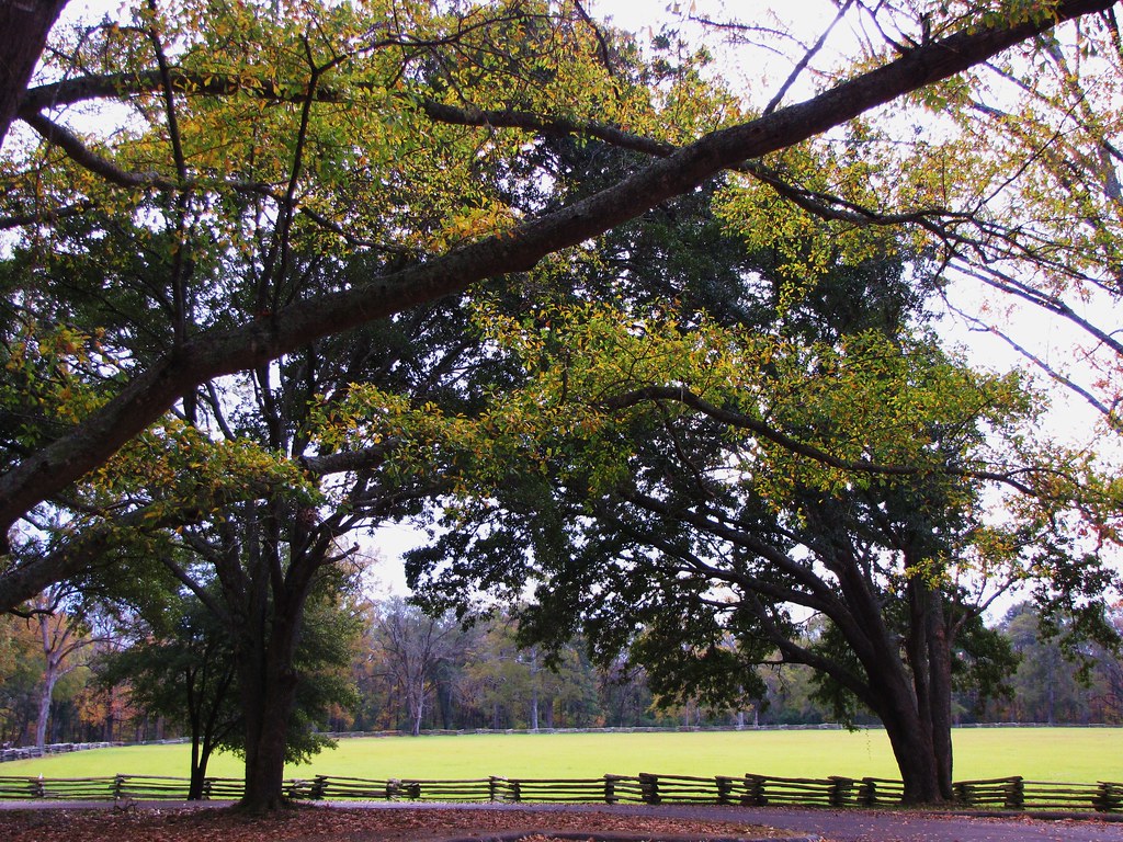
Mount Locust
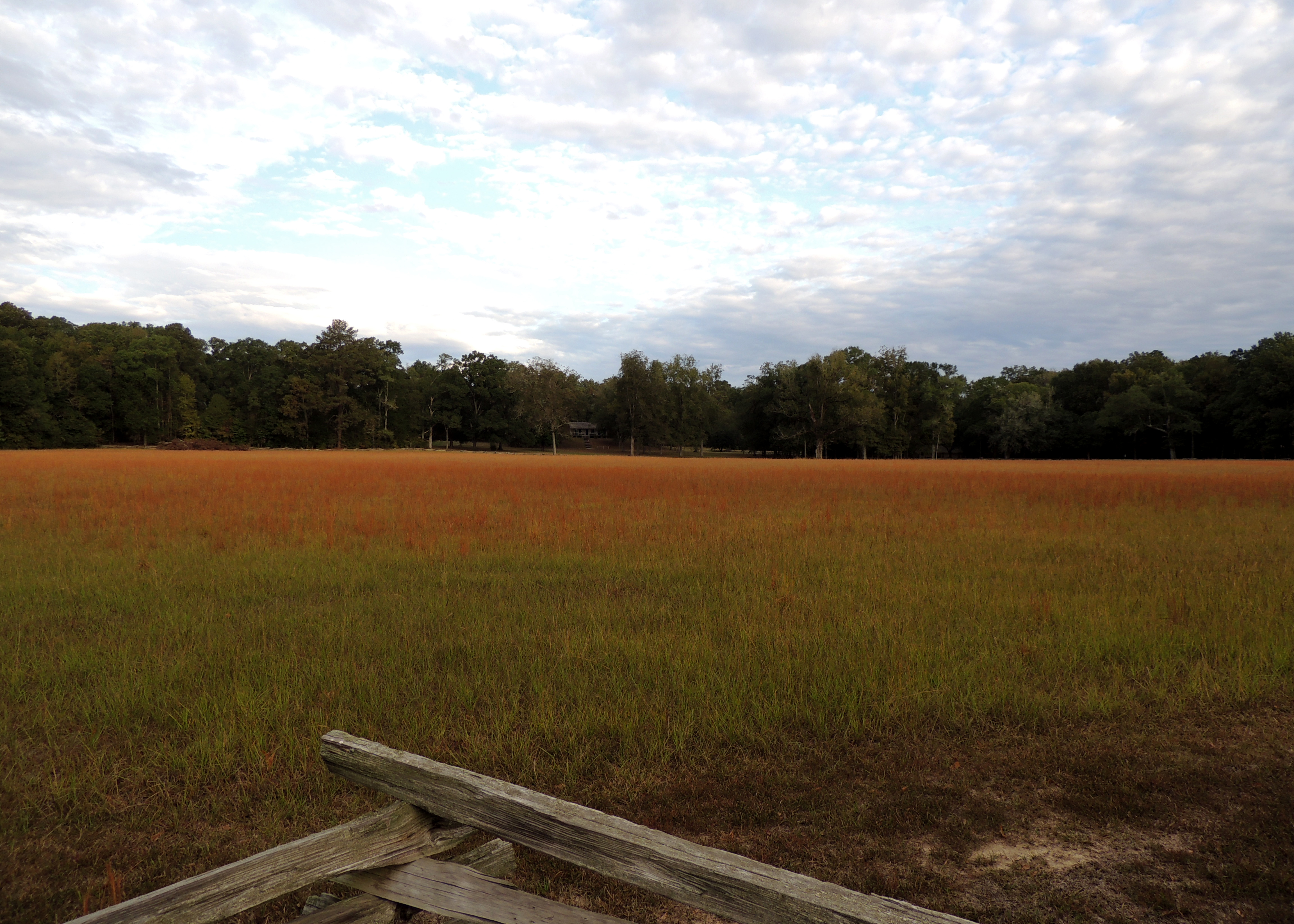
Mount Locust
Topographic Map of Fayette, MS, USA
Find elevation by address:

Places in Fayette, MS, USA:
Places near Fayette, MS, USA:
1572 Main St
1572 Main St
1572 Main St
MS-, Fayette, MS, USA
Jefferson County
Rodney Road
Lorman
The New Nation Of Islam
8330 Rodney Rd
61 Natchez Trace Pkwy
23 Natchez Trace Pkwy
237 Traceway Dr
Rodney Road
3013 Sunset Hill Rd
Ross Ln, Port Gibson, MS, USA
Port Gibson Water Works System
Claiborne County
Port Gibson
Annas Bottom Rd, Natchez, MS, USA
2040 Waterloo Rd
Recent Searches:
- Elevation of Corso Fratelli Cairoli, 35, Macerata MC, Italy
- Elevation of Tallevast Rd, Sarasota, FL, USA
- Elevation of 4th St E, Sonoma, CA, USA
- Elevation of Black Hollow Rd, Pennsdale, PA, USA
- Elevation of Oakland Ave, Williamsport, PA, USA
- Elevation of Pedrógão Grande, Portugal
- Elevation of Klee Dr, Martinsburg, WV, USA
- Elevation of Via Roma, Pieranica CR, Italy
- Elevation of Tavkvetili Mountain, Georgia
- Elevation of Hartfords Bluff Cir, Mt Pleasant, SC, USA